
1894 Map of Watrous
USGS Topo · Published 1894About this map
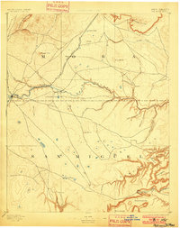
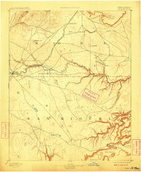
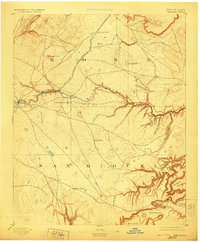
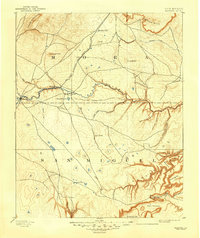
The Atchison Topeka and Santa Fe Railroad cuts a prominent path through this 1889 survey of the High Plains and canyonlands of northern New Mexico. Following the course of the Mora River, the rail line connects early frontier settlements like Watrous, Shoemaker, and Tipton, illustrating the late nineteenth-century transport network before the era of modern highways. The landscape is a study in contrasting topography, where the volcanic profile of Maxson Crater and the Turkey Mountains overlook a complex system of deep erosional features to the south.
Find a feature on this map
37 named features on this map. Tap any name to fly to it.
Don’t see what you’re looking for? This feature index may not catch every label — zoom into the map to look around manually.
Map Details
Editions of this 1894 Watrous Map
5 editions found
Other maps of this area

1889 · Las Vegas
USGS Topo · 1:125,000

1890 · Bernal
USGS Topo · 1:125,000

1891 · Bernal
USGS Topo · 1:125,000

1891 · Las Vegas
USGS Topo · 1:125,000

1892 · Watrous
USGS Topo · 1:125,000

1892 · Corazon
USGS Topo · 1:125,000

1893 · Las Vegas
USGS Topo · 1:125,000

1894 · Corazon
USGS Topo · 1:125,000

1894 · Bernal
USGS Topo · 1:125,000

1954 · Santa Fe
USGS Topo · 1:250,000