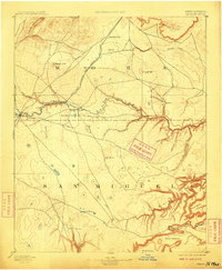
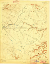
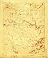
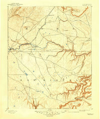
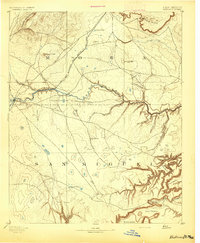
1894 Map of Watrous
USGS Topo · Published 1909About this map
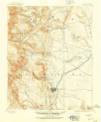
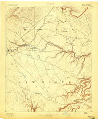
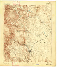
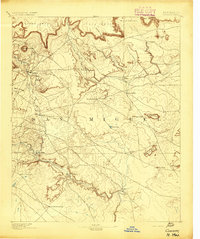
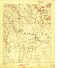
The Atchison Topeka and Santa Fe Railroad cuts a prominent diagonal across this territory, following the drainage of Wolf Creek to the settlement of Watrous. This 1889 survey captures a landscape defined by the transition from the high volcanic features of the Turkey Mountains and Maxson Crater in the northwest to the intricate canyon systems of the southeast. Along the Mora River, small nodes of habitation like Shoemaker and Cherry Valley appear near the rail line, while the southern expanse toward San Miguel is characterized by isolated outposts like the O K Ranch. The map documents a rugged topography of rincons and mesas, including Rincon Olguin and Rincon Trementina, which suggest a long-established ranching geography shaped by seasonal water sources like Laguna Huerfana and Agua de la Yegua.
Find a feature on this map
38 named features on this map. Tap any name to fly to it.
Don’t see what you’re looking for? This feature index may not catch every label — zoom into the map to look around manually.
Map Details
Editions of this 1894 Watrous Map
5 editions found
Other maps of this area
1889 · Las Vegas
USGS Topo · 1:125,000

1890 · Bernal
USGS Topo · 1:125,000

1891 · Bernal
USGS Topo · 1:125,000

1891 · Las Vegas
USGS Topo · 1:125,000
1892 · Watrous
USGS Topo · 1:125,000

1892 · Corazon
USGS Topo · 1:125,000
1893 · Las Vegas
USGS Topo · 1:125,000
1894 · Corazon
USGS Topo · 1:125,000
1894 · Watrous
USGS Topo · 1:125,000
1894 · Bernal
USGS Topo · 1:125,000