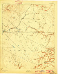
1894 Map of Watrous
USGS Topo · Published 1900About this map
Mora River carves through the high plains of northeastern New Mexico, where the Atchison Topeka and Santa Fe Railroad dictated the growth of late 19th-century settlements. This 1889 survey captures the area spanning the border of Mora and San Miguel counties, anchored by the town of Watrous. The landscape is a transition from volcanic features like Maxson Crater in the northwest to the intricate canyon systems of the southeast, including Largo Canyon and numerous Rincons such as Rincon Trementina. Scattered water sources like Gallegos Lake and Laguna Huerfana provided vital stops for cattle ranching operations, exemplified by the O. K. Ranch. The rail line connects small stops like Shoemaker and Tipton, illustrating the transport corridor that replaced the older wagon trails through this high-altitude terrain.
Find a feature on this map
39 named features on this map. Tap any name to fly to it.
Don’t see what you’re looking for? This feature index may not catch every label — zoom into the map to look around manually.
Map Details
Editions of this 1894 Watrous Map
5 editions found
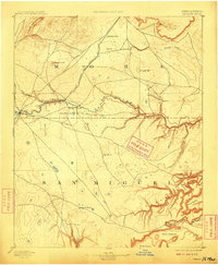
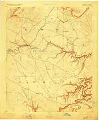
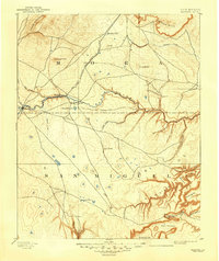
Other maps of this area

1889 · Las Vegas
USGS Topo · 1:125,000

1890 · Bernal
USGS Topo · 1:125,000

1891 · Bernal
USGS Topo · 1:125,000

1891 · Las Vegas
USGS Topo · 1:125,000

1892 · Watrous
USGS Topo · 1:125,000

1892 · Corazon
USGS Topo · 1:125,000

1893 · Las Vegas
USGS Topo · 1:125,000

1894 · Corazon
USGS Topo · 1:125,000

1894 · Watrous
USGS Topo · 1:125,000

1894 · Bernal
USGS Topo · 1:125,000