1889 Map of Las Vegas
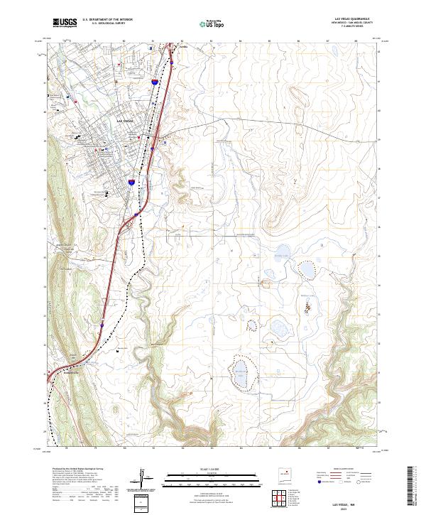
USGS Topo · Published 1953About this map
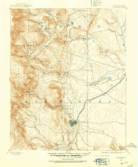
Las Vegas serves as the primary hub of this 1889 survey, appearing at a pivotal moment when the Atchison Topeka and Santa Fe Railroad was transforming the commerce of Northern New Mexico. The map illustrates a landscape of established Hispanic plazas and strategic outposts, including the historic site of Fort Union in the northeast and the community of Hot Springs to the northwest of the main settlement. Along the Mora River and Sapello Creek, numerous small agricultural settlements like La Cueva, Loma Parda, and Sapello follow the watercourses through the high country. To the west, the boundaries of the Santa Fe National Forest rise toward peaks such as Solitario Pk, showing the transition from the plains to the wooded uplands. This record documents the intricate network of wagon roads and rail lines that connected isolated mountain villages like San Geronimo and Romero during the late nineteenth century.
Find a feature on this map
39 named features on this map. Tap any name to fly to it.
Don’t see what you’re looking for? This feature index may not catch every label — zoom into the map to look around manually.
Map Details
Editions of this 1889 Las Vegas Map
This is the sole edition of this map. No revisions or reprints were ever made.
Historical Maps of Las Vegas Through Time
9 maps found
1889 Las Vegas
San Miguel County, NM

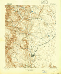
1891 Las Vegas
San Miguel County, NM
1893 Las Vegas
San Miguel County, NM
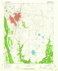
1963 Las Vegas
San Miguel County, NM
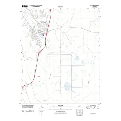
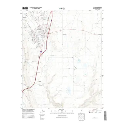
2010 Las Vegas
San Miguel County, NM
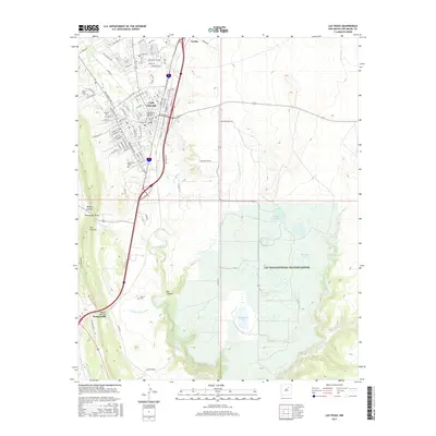
2013 Las Vegas
San Miguel County, NM
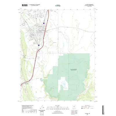
2017 Las Vegas
San Miguel County, NM
2020 Las Vegas
San Miguel County, NM
2023 Las Vegas
San Miguel County, NM