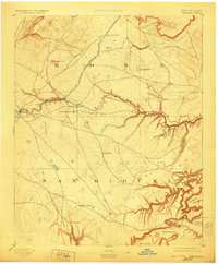
1894 Map of Watrous
USGS Topo · Published 1923About this map
The Atchison Topeka and Santa Fe Railroad cuts through the high plains and volcanic landscapes of northeastern New Mexico, following a route surveyed by A.P. Davis in the late nineteenth century. Small stops and settlements like Watrous, Shoemaker, and Tipton line the rail corridor, serving as vital links for the regional cattle and transport economy. The Mora River winds through the center of the sheet, eventually carving deep into the earth to meet a complex network of canyons to the southeast, including Largo Canyon and Conchas Canyon. These dramatic landforms are punctuated by volcanic features such as Maxson Crater and the Turkey Mountains to the northwest. The presence of established outposts like the O. K. Ranch and scattered water sources like Laguna Huerfana highlight the importance of water and grazing land in this part of Mora and San Miguel counties.
Find a feature on this map
37 named features on this map. Tap any name to fly to it.
Don’t see what you’re looking for? This feature index may not catch every label — zoom into the map to look around manually.
Map Details
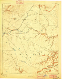
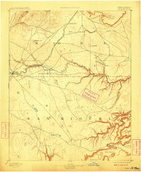
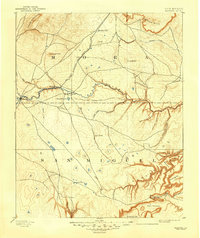
Editions of this 1894 Watrous Map
5 editions found
Other maps of this area

1889 · Las Vegas
USGS Topo · 1:125,000

1890 · Bernal
USGS Topo · 1:125,000

1891 · Bernal
USGS Topo · 1:125,000

1891 · Las Vegas
USGS Topo · 1:125,000

1892 · Watrous
USGS Topo · 1:125,000

1892 · Corazon
USGS Topo · 1:125,000

1893 · Las Vegas
USGS Topo · 1:125,000

1894 · Corazon
USGS Topo · 1:125,000

1894 · Watrous
USGS Topo · 1:125,000

1894 · Bernal
USGS Topo · 1:125,000