
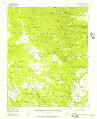
1956 Map of Tooth Of Time
USGS Topo · Published 1956About this map
The Philmont Scout Ranch dominates this mid-century landscape in Colfax County, showing an intricate network of trail camps and base camps established for the scouts. The map details the transition from the ranch's earlier ranching and industrial history to its recreational use, noting features like American Creek Cow Camp, the Old Cartwright Mill Site, and the Lambert Mine. High peaks and ridges, including the iconic Tooth of Time and Shaefers Peak, tower over a terrain marked by various land grants, including the Beaubien and Miranda Grant and the Mora Grant. The numerous trail camps such as Cyphers Mine Trail Camp and Crater Lake Base Camp illustrate the specialized development of this mountain area. To the north, the Cimarron Canyon Wildlife Area provides a different land management context adjacent to the high-altitude peaks like Tolby Peak and Comanche Peak.
Find a feature on this map
122 named features on this map. Tap any name to fly to it.
Don’t see what you’re looking for? This feature index may not catch every label — zoom into the map to look around manually.
Map Details
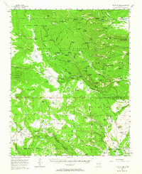
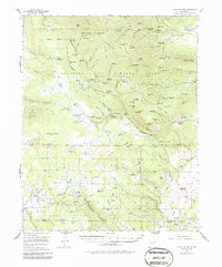
Editions of this 1956 Tooth Of Time Map
4 editions found
Other maps of this area

1954 · Raton
USGS Topo · 1:250,000

1955 · Cimarron
USGS Topo · 1:62,500

1955 · Ute Park
USGS Topo · 1:62,500

1956 · Miami
USGS Topo · 1:62,500

1958 · Raton
USGS Topo · 1:250,000

1963 · Eagle Nest
USGS Topo · 1:24,000

1965 · Osha Mountain
USGS Topo · 1:24,000

1965 · Chacon
USGS Topo · 1:24,000

1965 · Palo Flechado Pass
USGS Topo · 1:24,000

1966 · Guadalupita
USGS Topo · 1:24,000