
1956 Map of Miami
USGS Topo · Published 1957About this map
Beaubien and Miranda Grant lands dominate this mid-century survey, illustrating a landscape defined by large-scale ranching and the emerging heritage of the American West. The northern portion is anchored by the Philmont Scout Ranch Headquarters, a center for youth outdoor training that includes a dedicated Training Center and Camping Headquarters. Near the Carson Museum, the map traces the intersection of cattle operations and local history at Rayado, where the Rayado Creek flows past the Vallejo Ranch. To the southeast, the settlement of Miami serves as a local hub, supported by the Miami Lake reservoir and the Miami Cem. The terrain is characterized by high, flat-topped formations like Kit Carson Mesa and Ortega Mesa, while deep cattle-country history is evident at remote sites like Sweetwater Cow Camp and the Fernandez Ranch.
Find a feature on this map
56 named features on this map. Tap any name to fly to it.
Don’t see what you’re looking for? This feature index may not catch every label — zoom into the map to look around manually.
Map Details
Editions of this 1956 Miami Map
4 editions found
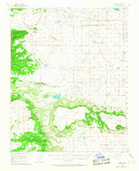
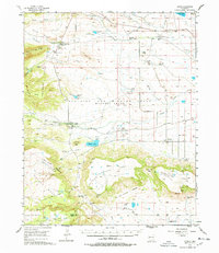
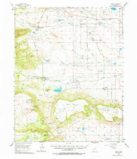
Other maps of this area

1915 · Koehler
USGS Topo · 1:62,500

1917 · Koehler
USGS Topo · 1:62,500

1954 · Raton
USGS Topo · 1:250,000

1955 · Cimarron
USGS Topo · 1:62,500

1955 · Ute Park
USGS Topo · 1:62,500

1956 · Tooth Of Time
USGS Topo · 1:62,500

1958 · Raton
USGS Topo · 1:250,000

1964 · Colmor
USGS Topo · 1:24,000

1964 · Pinon Hills
USGS Topo · 1:24,000

1965 · Springer Lake
USGS Topo · 1:24,000