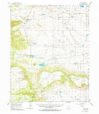
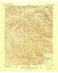
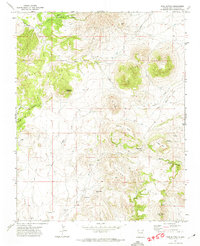
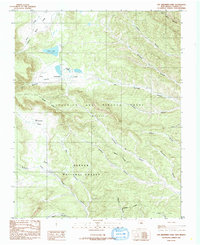
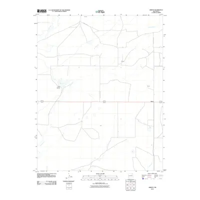
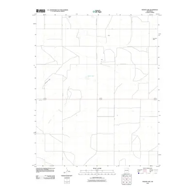
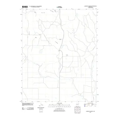
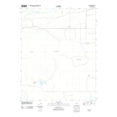
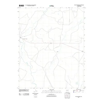
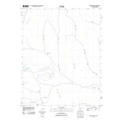
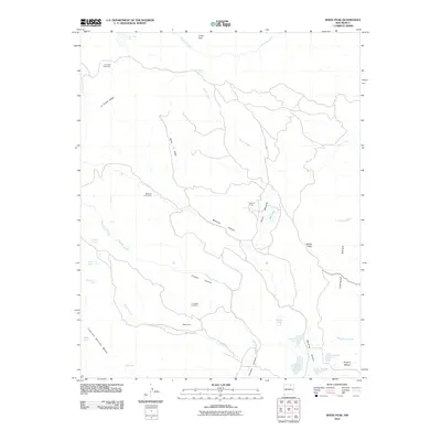
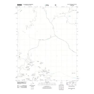
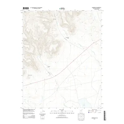
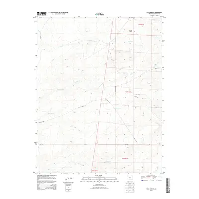
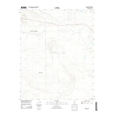
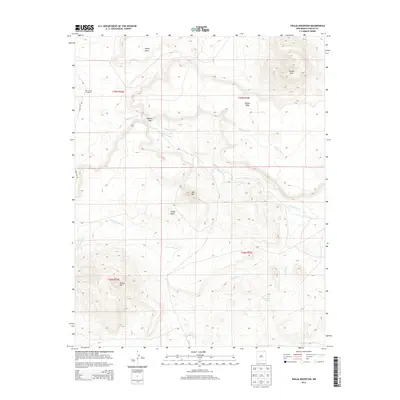
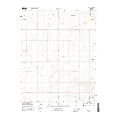
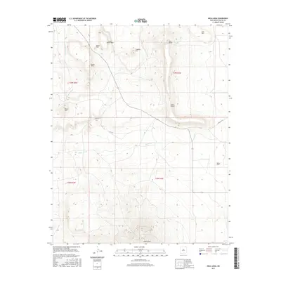
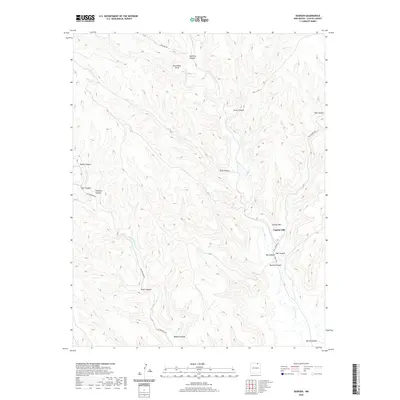
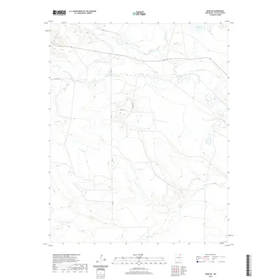
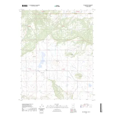
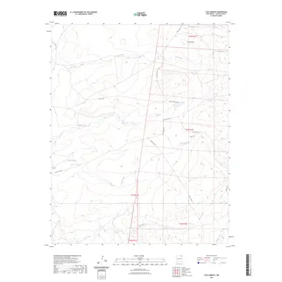
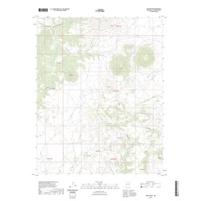
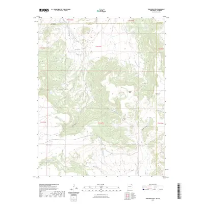
1956 Map of Miami
USGS Topo · Published 1979About this map
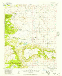
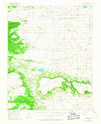
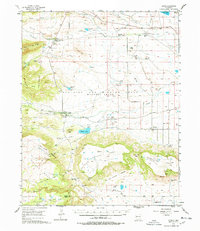
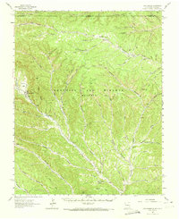
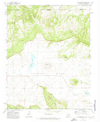
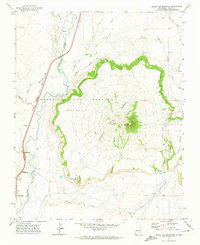
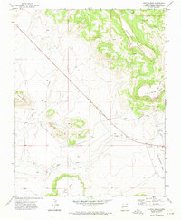
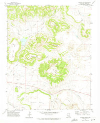
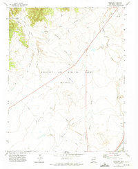
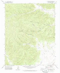
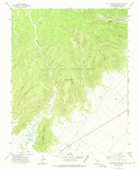
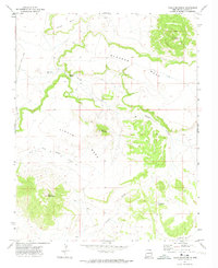
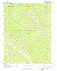
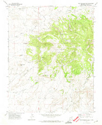
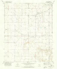
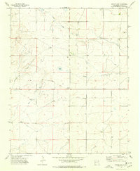
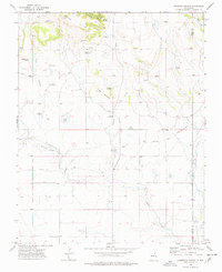
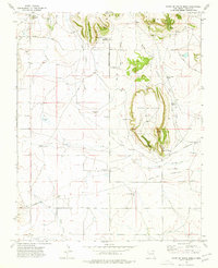
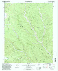
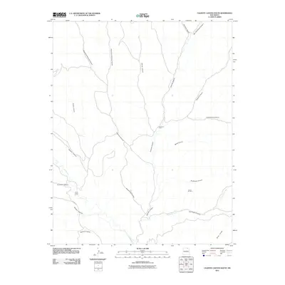
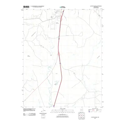
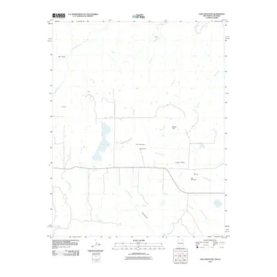
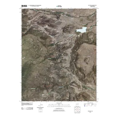
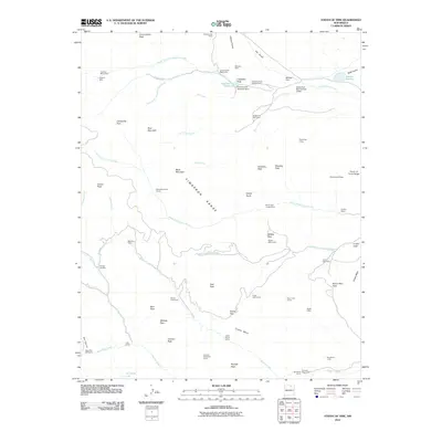
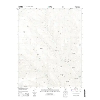
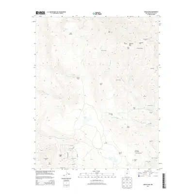
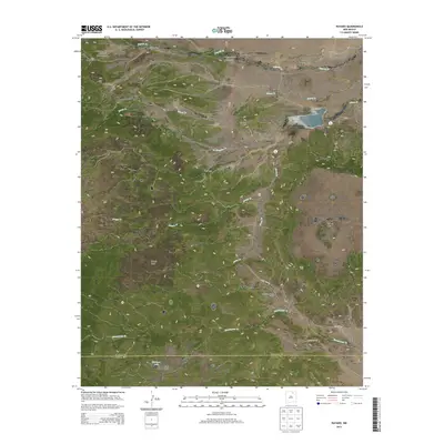
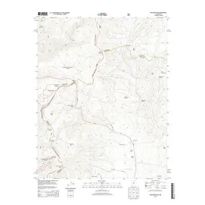
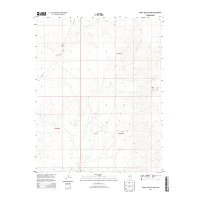
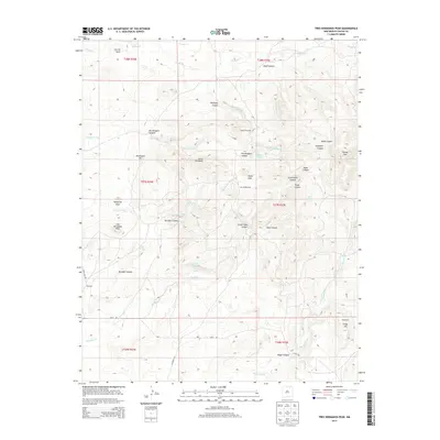
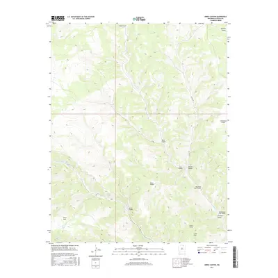
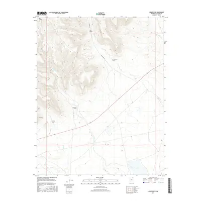
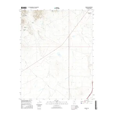
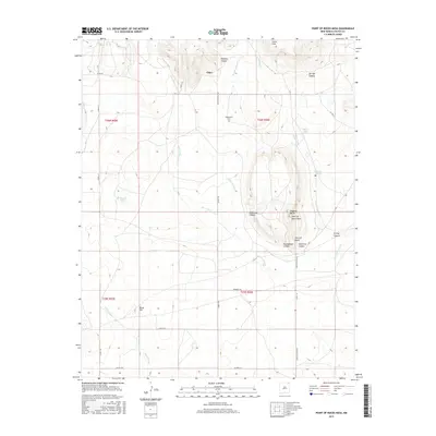
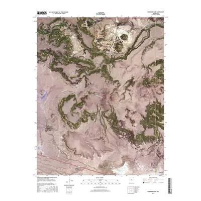
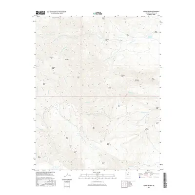
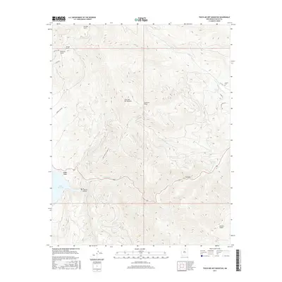
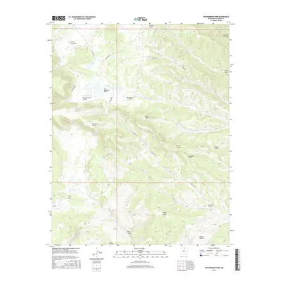
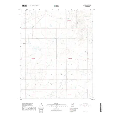
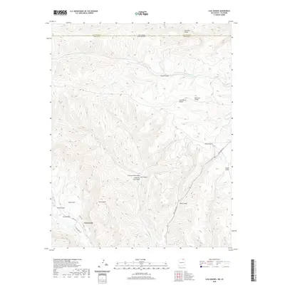
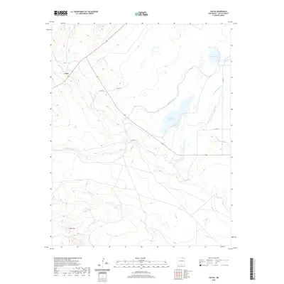
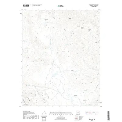
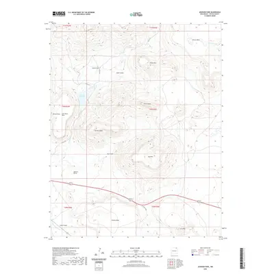
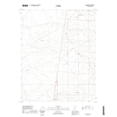
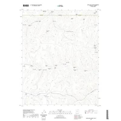
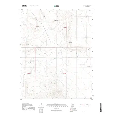
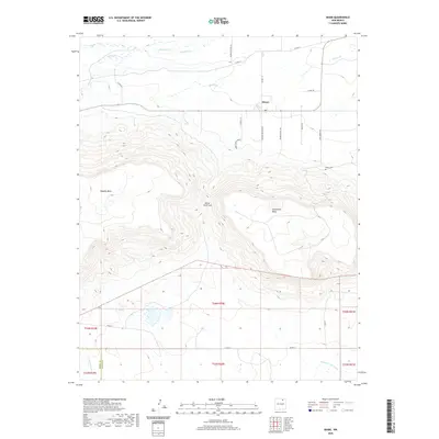
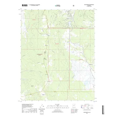
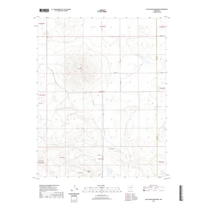
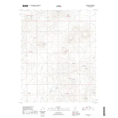
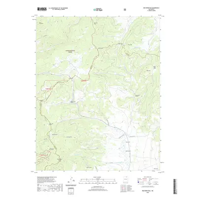
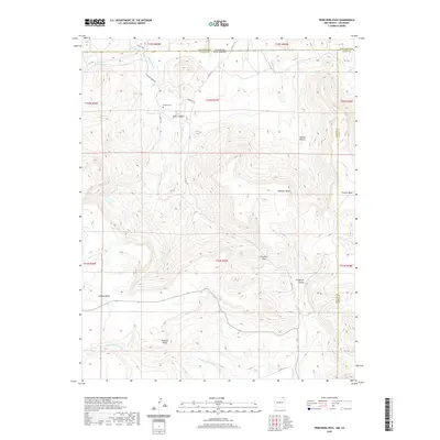
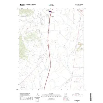
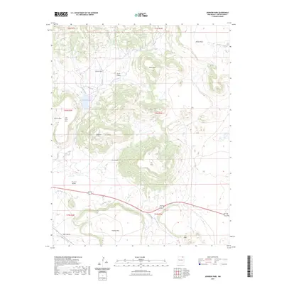
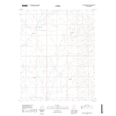
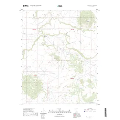
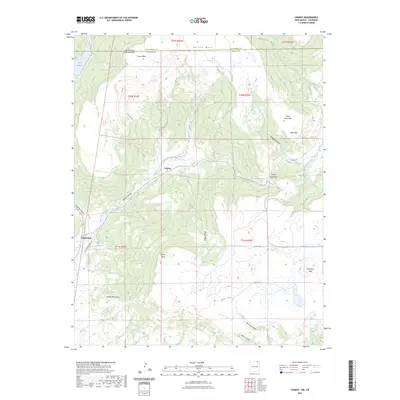
Philmont Scout Ranch Headquarters and its Training Center serve as a central hub in this high-altitude landscape of Colfax County, depicted just after the mid-century mark. Much of the terrain lies within the historic Beaubien and Miranda Grant (Maxwell Grant), where the drainage of Rayado Creek and Cimarron River carved out prominent landmarks like Tooth of Time Ridge and Kit Carson Mesa. This survey documents a transition from cattle ranching to institutional conservation and education, evidenced by the presence of the Kit Carson Museum and several working livestock outposts like Sweetwater Cow Camp. The community of Miami is shown alongside its namesake Miami Lake, supported by a complex network of ditches that redirect mountain runoff across the Coyote Mesa to sustain local agricultural holdings such as the Hanson Farm.
Find a feature on this map
48 named features on this map. Tap any name to fly to it.
Don’t see what you’re looking for? This feature index may not catch every label — zoom into the map to look around manually.
Map Details
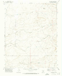
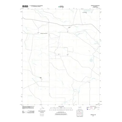
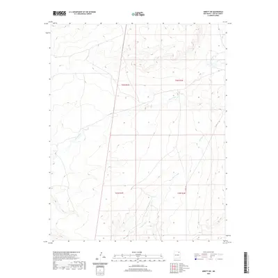
Editions of this 1956 Miami Map
4 editions found
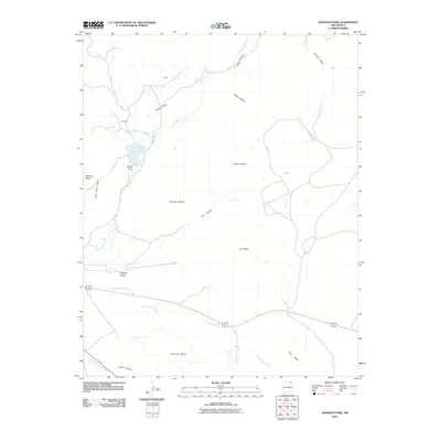
Historical Maps of Cimarron Through Time
365 maps found
1915 Brilliant
Colfax County, NM

1915 Koehler
Colfax County, NM
1917 Koehler
Colfax County, NM
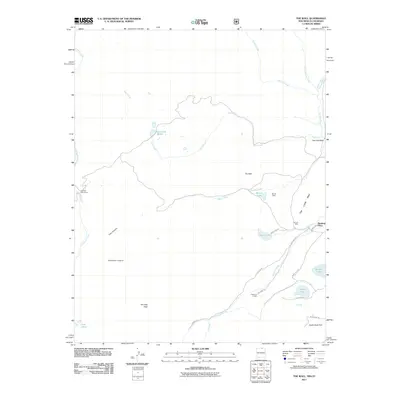
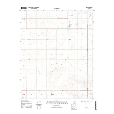
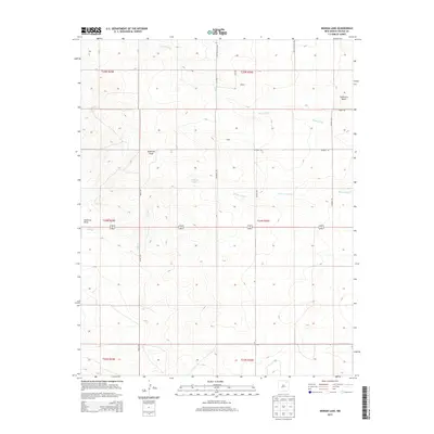
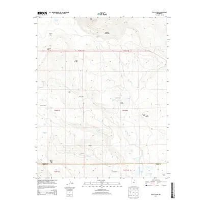
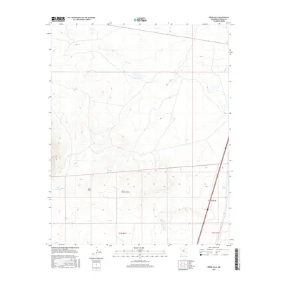
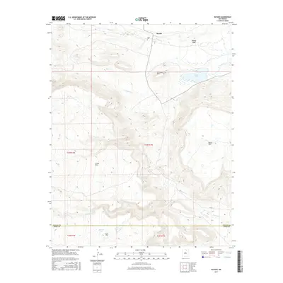
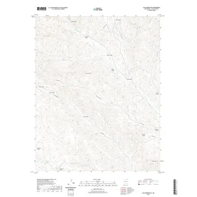
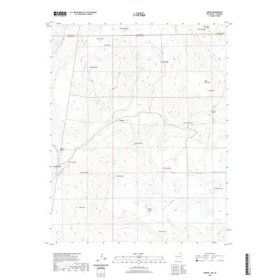
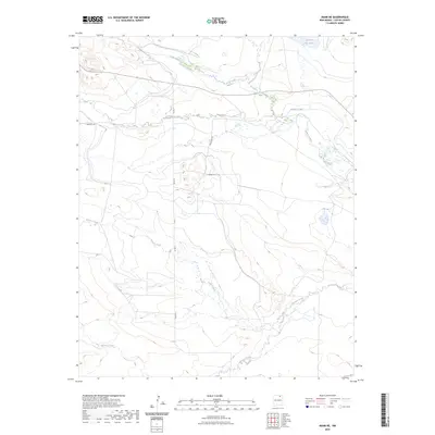
1956 Miami
Colfax County, NM
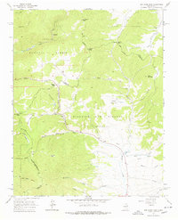
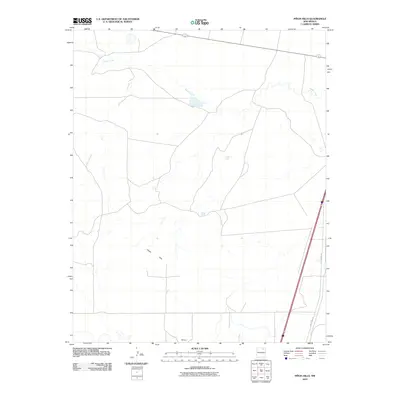
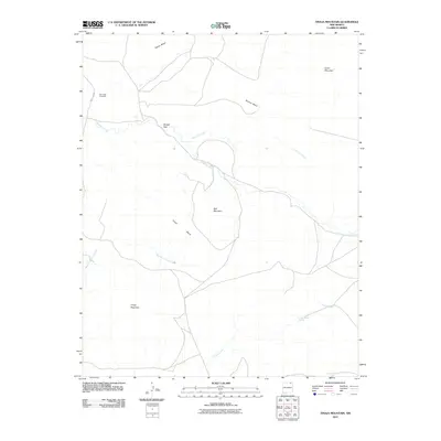
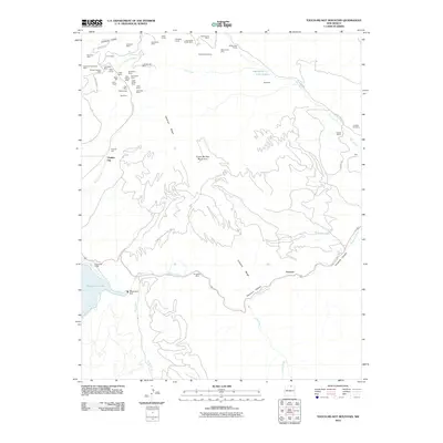
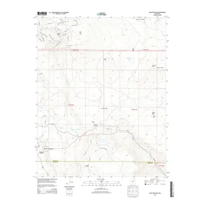
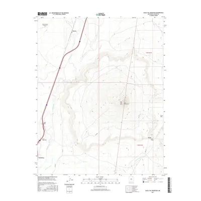
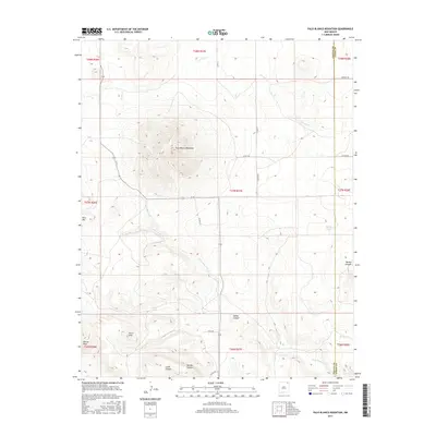
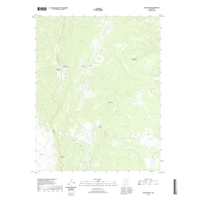
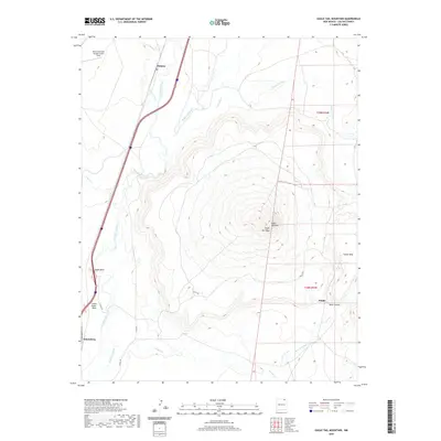
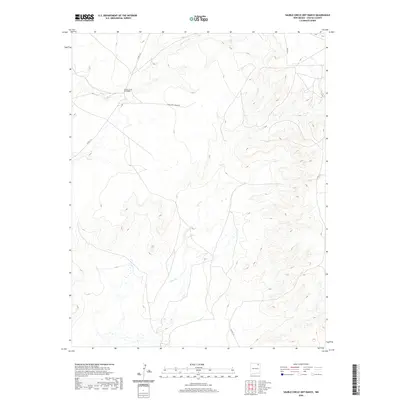
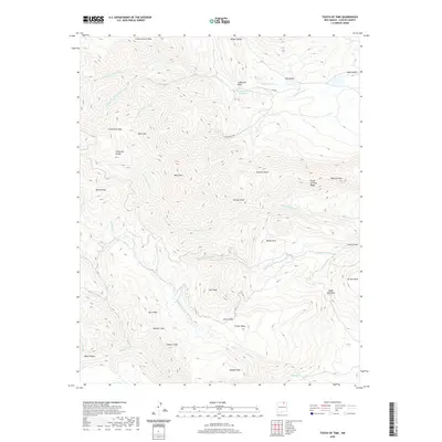
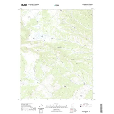
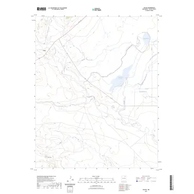
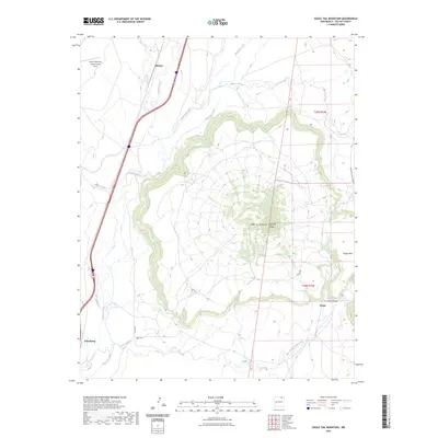
1956 Tooth Of Time
Colfax County, NM
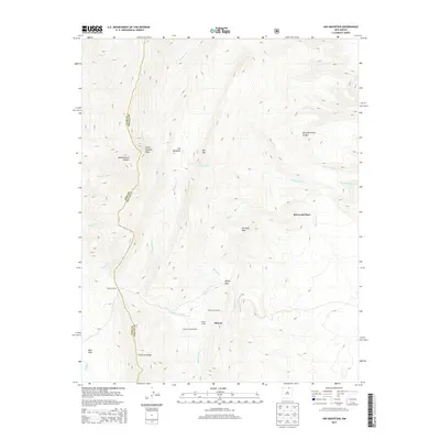
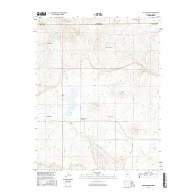
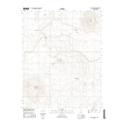
1962 Ash Mountain
Colfax County, NM
1962 Casa Grande
Colfax County, NM
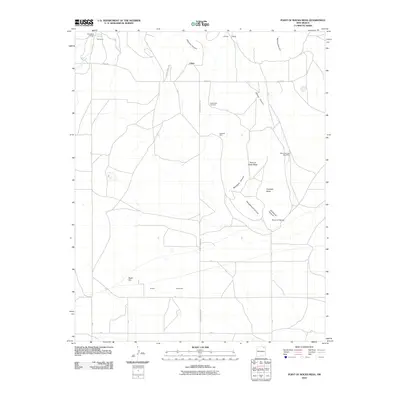
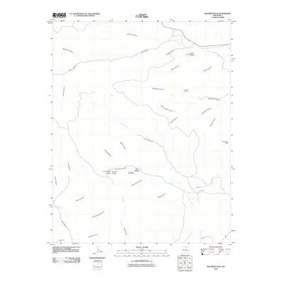
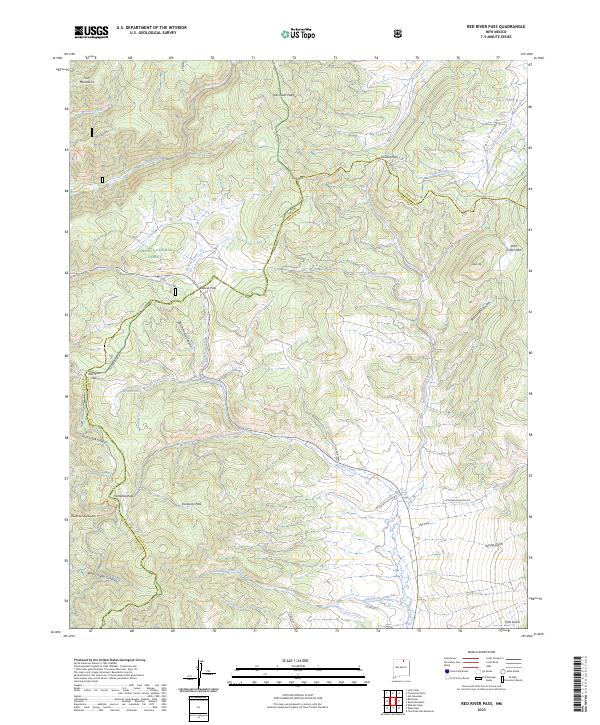
1963 Red River Pass
Colfax County, NM

1964 Pinon Hills
Colfax County, NM

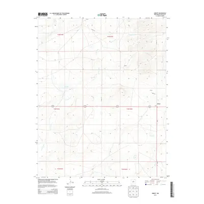
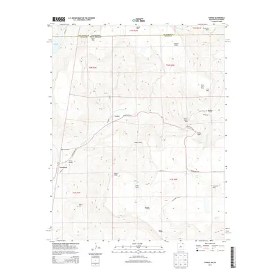
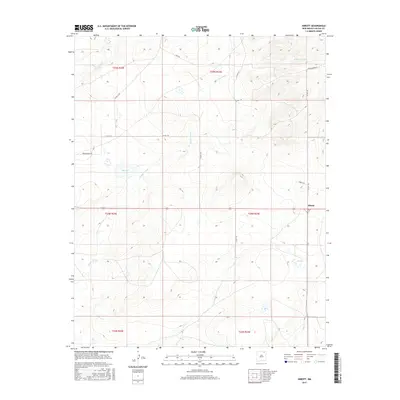
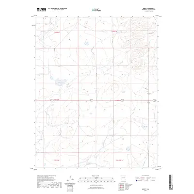
1965 Abbott
Colfax County, NM

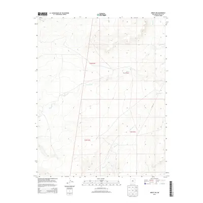
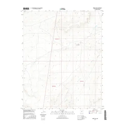
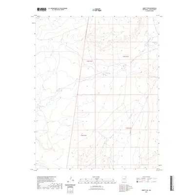
1965 Abbott NW
Colfax County, NM

1965 French
Colfax County, NM
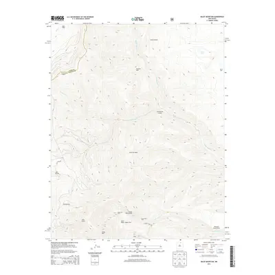
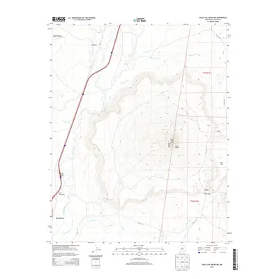
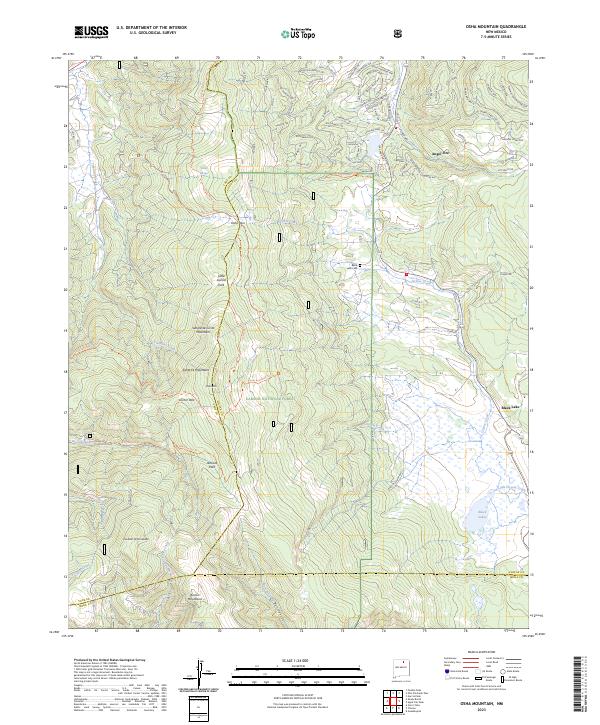
1965 Osha Mountain
Colfax County, NM

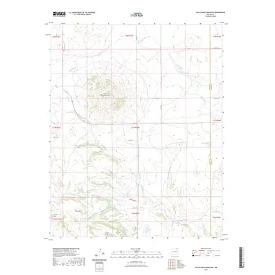
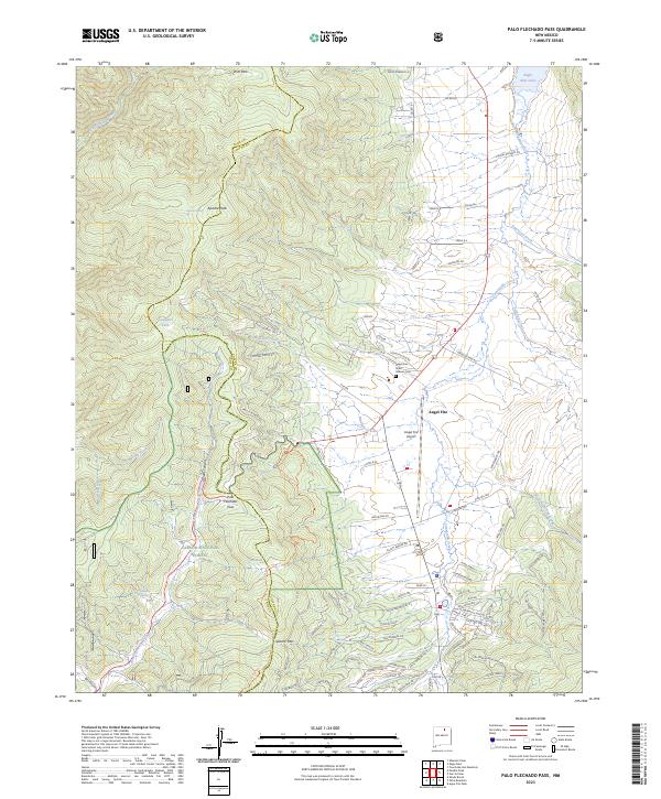
1965 Palo Flechado Pass
Colfax County, NM

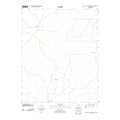
1965 Sauble Circle Dot Ranch
Colfax County, NM

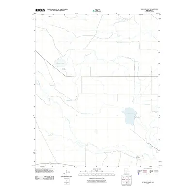
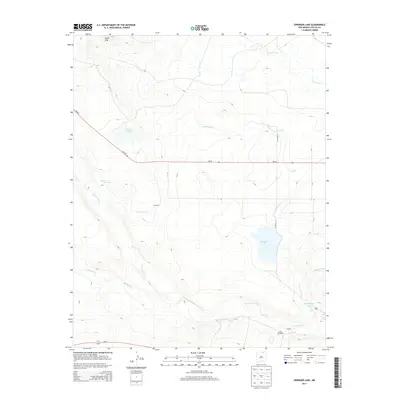
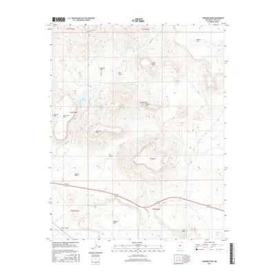
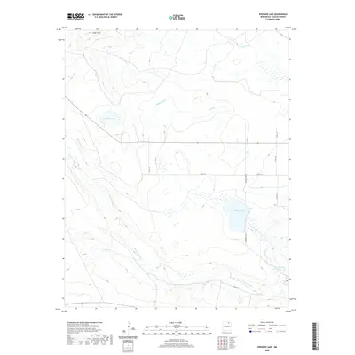
1965 Springer Lake
Colfax County, NM

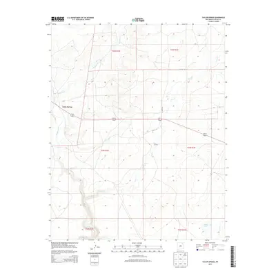
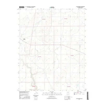
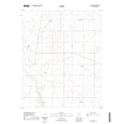
1965 Taylor Springs
Colfax County, NM

1971 Clifton House
Colfax County, NM

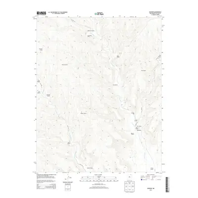
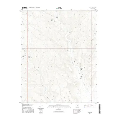
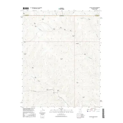
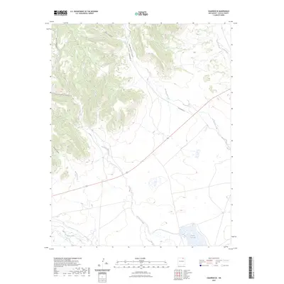
1971 Colfax
Colfax County, NM
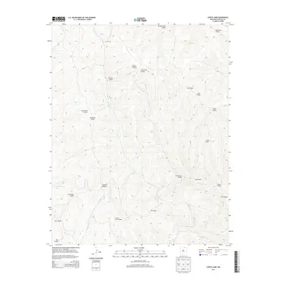
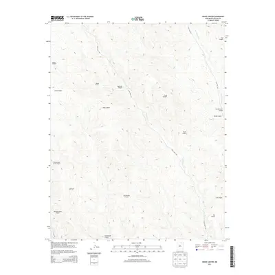
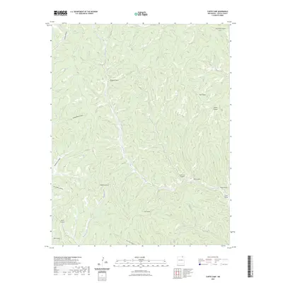
1971 Curtis Camp
Colfax County, NM
1971 Dale Mountain
Colfax County, NM
1971 Eagle Tail Mountain
Colfax County, NM
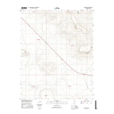
1971 Hunter Mesa
Colfax County, NM
1971 Johnson Park
Colfax County, NM

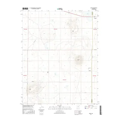
1971 Kiowa
Colfax County, NM
1971 Koehler
Colfax County, NM
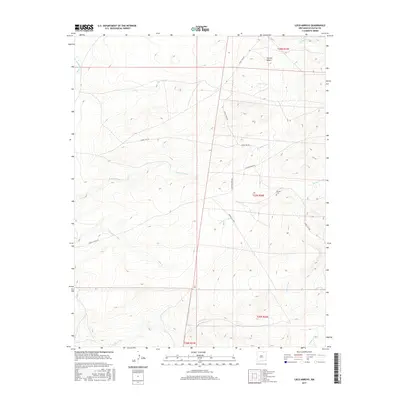
1971 Loco Arroyo
Colfax County, NM
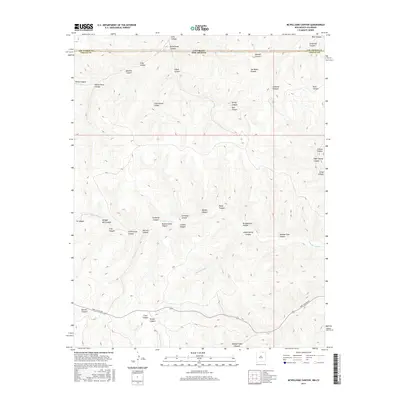
1971 Mc Williams Canyon
Colfax County, NM
1971 Mesa Larga
Colfax County, NM

1971 Palo Blanco Mountain
Colfax County, NM
1971 Pine Buttes
Colfax County, NM
1971 Red River Peak
Colfax County, NM

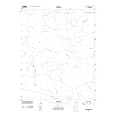
1971 Robinson Peak
Colfax County, NM
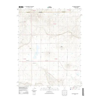
1971 Saltpeter Mountain
Colfax County, NM
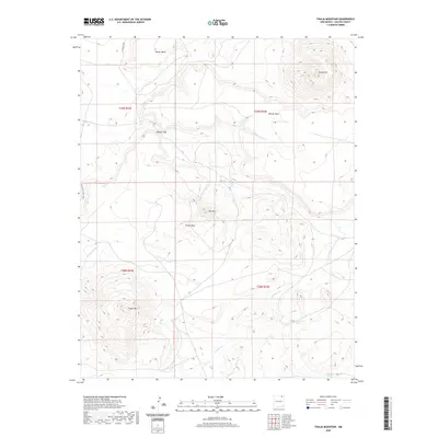
1971 Tinaja Mountain
Colfax County, NM
1971 Tin Pan Canyon
Colfax County, NM
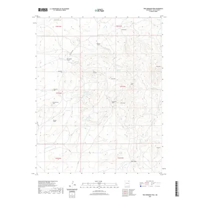
1971 Tres Hermanos Peak
Colfax County, NM

1971 Trinchera Pass
Colfax County, NM

1971 Yankee
Colfax County, NM
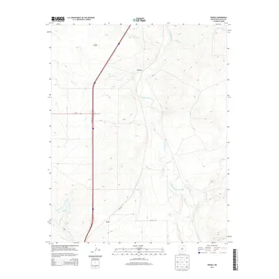
1974 Farley
Colfax County, NM
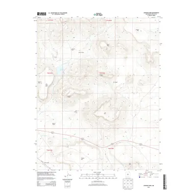
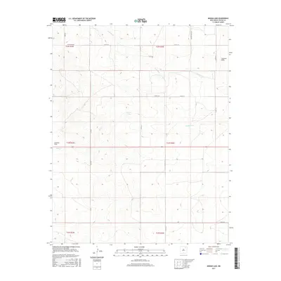
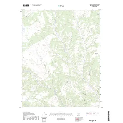
1974 Ingram Lake
Colfax County, NM
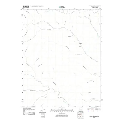
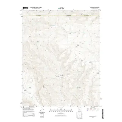
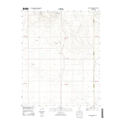
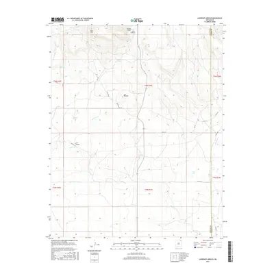
1974 Lawrence Arroyo
Colfax County, NM
1974 Point Of Rocks Mesa
Colfax County, NM

1986 Ash Mountain
Colfax County, NM

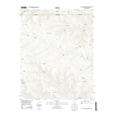
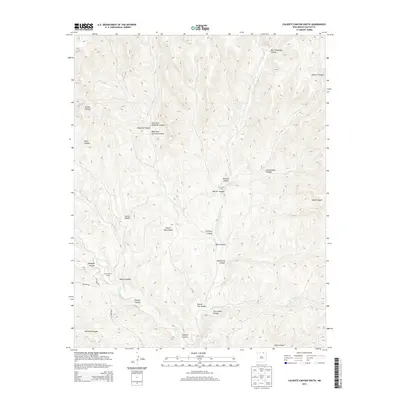
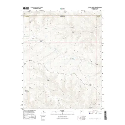
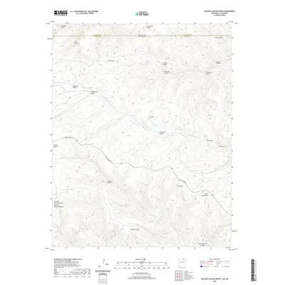
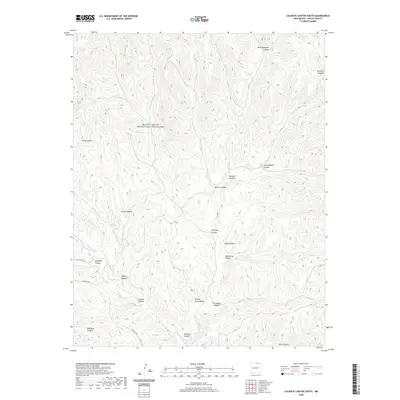
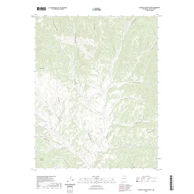
1986 Caliente Canyon North
Colfax County, NM
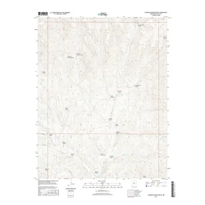
1986 Caliente Canyon South
Colfax County, NM

1986 Casa Grande
Colfax County, NM
1986 Casa Grande SW
Colfax County, NM

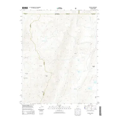
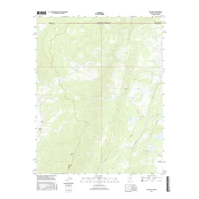
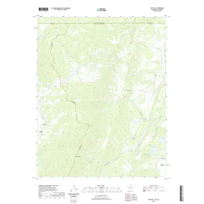
1986 The Wall
Colfax County, NM
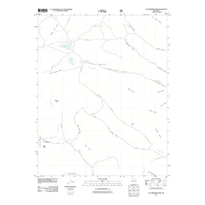
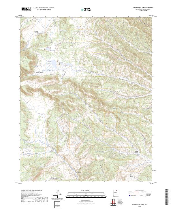
1986 Van Bremmer Park
Colfax County, NM

1986 Vermejo Park
Colfax County, NM

1987 Abreu Canyon
Colfax County, NM

1987 Agua Fria Peak
Colfax County, NM

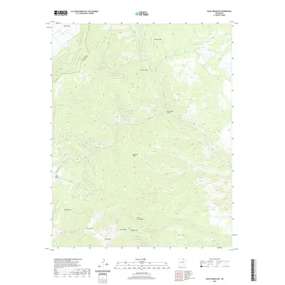
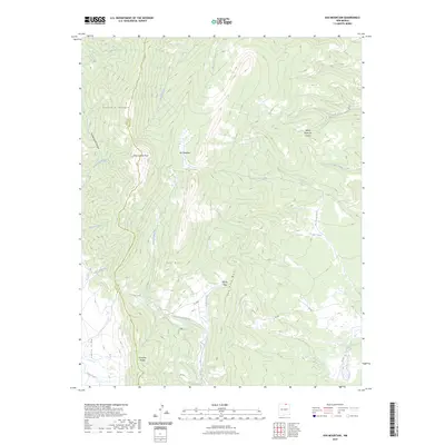
1987 Baldy Mountain
Colfax County, NM
1987 Cimarron SE
Colfax County, NM

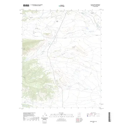
1987 Coyote Mesa
Colfax County, NM

1987 Dawson
Colfax County, NM
1987 House Canyon
Colfax County, NM

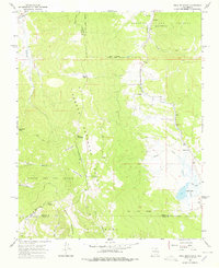
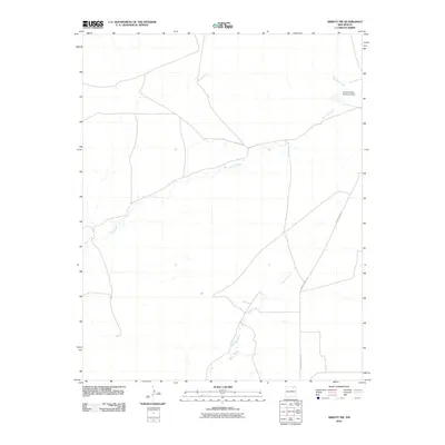
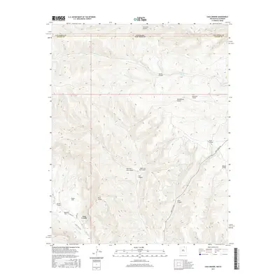
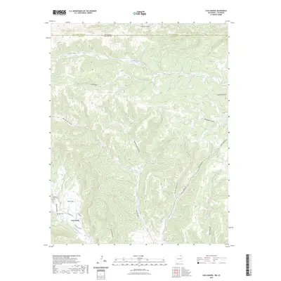
1987 Miami
Colfax County, NM

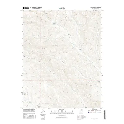
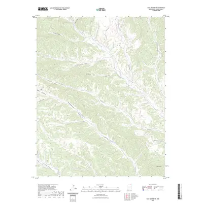
1987 Miami NE
Colfax County, NM

1987 Rayado
Colfax County, NM

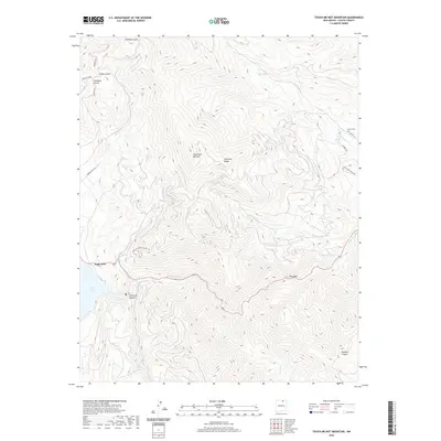
1987 Touch-Me-Not Mountain
Colfax County, NM

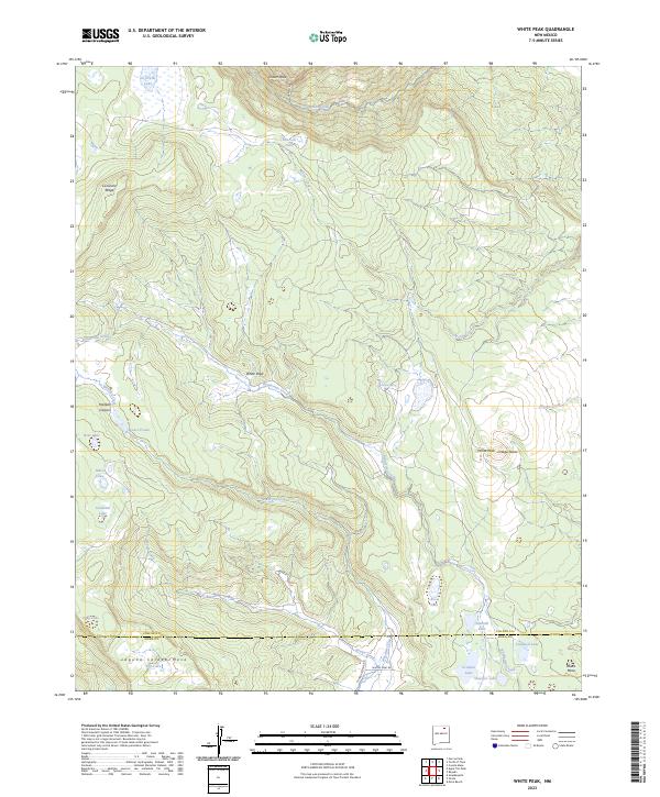
1987 White Peak
Colfax County, NM

1994 Agua Fria Peak
Colfax County, NM

1994 Garcia Peak
Colfax County, NM
1994 Tooth Of Time
Colfax County, NM

1994 White Peak
Colfax County, NM
1995 Abreu Canyon
Colfax County, NM

1995 Ash Mountain
Colfax County, NM
1995 Baldy Mountain
Colfax County, NM

1995 Osha Mountain
Colfax County, NM
1995 Palo Flechado Pass
Colfax County, NM

1995 Red River Pass
Colfax County, NM

1995 The Wall
Colfax County, NM
1995 Van Bremmer Park
Colfax County, NM
2010 Abbott
Colfax County, NM
2010 Abbott NW
Colfax County, NM
2010 Agua Fria Peak
Colfax County, NM
2010 Caliente Canyon North
Colfax County, NM
2010 Caliente Canyon South
Colfax County, NM
2010 Casa Grande
Colfax County, NM
2010 Casa Grande SW
Colfax County, NM
2010 Cimarron SE
Colfax County, NM
2010 Clifton House
Colfax County, NM
2010 Colfax
Colfax County, NM
2010 Coyote Mesa
Colfax County, NM
2010 Curtis Camp
Colfax County, NM
2010 Dale Mountain
Colfax County, NM
2010 Dawson
Colfax County, NM
2010 Eagle Tail Mountain
Colfax County, NM
2010 Farley
Colfax County, NM
2010 French
Colfax County, NM
2010 Garcia Peak
Colfax County, NM
2010 House Canyon
Colfax County, NM
2010 Hunter Mesa
Colfax County, NM
2010 Ingram Lake
Colfax County, NM
2010 Johnson Park
Colfax County, NM
2010 Kiowa
Colfax County, NM
2010 Koehler
Colfax County, NM
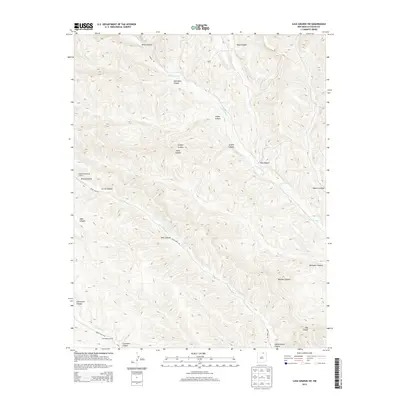
2010 Lawrence Arroyo
Colfax County, NM
2010 Loco Arroyo
Colfax County, NM
2010 McWilliams Canyon
Colfax County, NM
2010 Mesa Larga
Colfax County, NM
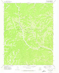
2010 Miami
Colfax County, NM
2010 Miami NE
Colfax County, NM
2010 Palo Blanco Mountain
Colfax County, NM
2010 Pine Buttes
Colfax County, NM
2010 Pinon Hills
Colfax County, NM
2010 Point of Rocks Mesa
Colfax County, NM
2010 Rayado
Colfax County, NM
2010 Red River Peak
Colfax County, NM
2010 Robinson Peak
Colfax County, NM
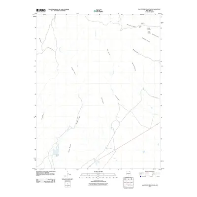
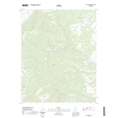
2010 Saltpeter Mountain
Colfax County, NM
2010 Sauble Circle Dot Ranch
Colfax County, NM
2010 Springer Lake
Colfax County, NM
2010 Taylor Springs
Colfax County, NM
2010 Tinaja Mountain
Colfax County, NM
2010 Tin Pan Canyon
Colfax County, NM
2010 Tooth of Time
Colfax County, NM
2010 Touch-Me-Not Mountain
Colfax County, NM
2010 Tres Hermanos Peak
Colfax County, NM
2010 Trinchera Pass
Colfax County, NM
2010 Vermejo Park
Colfax County, NM
2010 White Peak
Colfax County, NM
2010 Yankee
Colfax County, NM
2011 Abreu Canyon
Colfax County, NM
2011 Ash Mountain
Colfax County, NM
2011 Baldy Mountain
Colfax County, NM
2011 Osha Mountain
Colfax County, NM
2011 Palo Flechado Pass
Colfax County, NM
2011 Red River Pass
Colfax County, NM
2011 The Wall
Colfax County, NM
2011 Van Bremmer Park
Colfax County, NM
2013 Abbott
Colfax County, NM
2013 Abbott NW
Colfax County, NM
2013 Abreu Canyon
Colfax County, NM
2013 Agua Fria Peak
Colfax County, NM
2013 Ash Mountain
Colfax County, NM
2013 Baldy Mountain
Colfax County, NM
2013 Caliente Canyon North
Colfax County, NM
2013 Caliente Canyon South
Colfax County, NM
2013 Casa Grande
Colfax County, NM
2013 Casa Grande SW
Colfax County, NM
2013 Cimarron SE
Colfax County, NM
2013 Clifton House
Colfax County, NM
2013 Colfax
Colfax County, NM
2013 Coyote Mesa
Colfax County, NM
2013 Curtis Camp
Colfax County, NM
2013 Dale Mountain
Colfax County, NM
2013 Dawson
Colfax County, NM
2013 Eagle Tail Mountain
Colfax County, NM
2013 Farley
Colfax County, NM
2013 French
Colfax County, NM
2013 Garcia Peak
Colfax County, NM
2013 House Canyon
Colfax County, NM

2013 Hunter Mesa
Colfax County, NM
2013 Ingram Lake
Colfax County, NM
2013 Johnson Park
Colfax County, NM

2013 Kiowa
Colfax County, NM
2013 Koehler
Colfax County, NM
2013 Lawrence Arroyo
Colfax County, NM
2013 Loco Arroyo
Colfax County, NM
2013 McWilliams Canyon
Colfax County, NM
2013 Mesa Larga
Colfax County, NM
2013 Miami
Colfax County, NM
2013 Miami NE
Colfax County, NM
2013 Osha Mountain
Colfax County, NM
2013 Palo Blanco Mountain
Colfax County, NM
2013 Palo Flechado Pass
Colfax County, NM
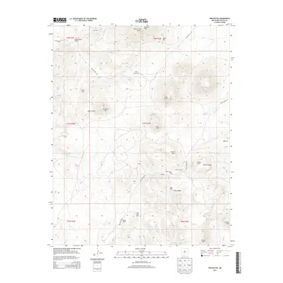
2013 Pine Buttes
Colfax County, NM
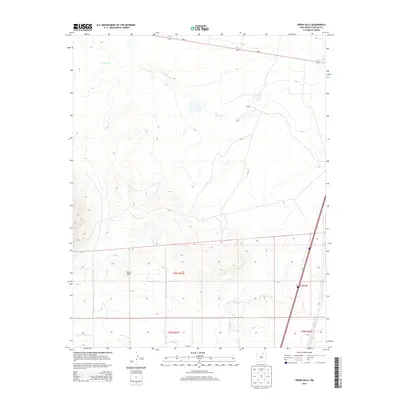
2013 Pinon Hills
Colfax County, NM
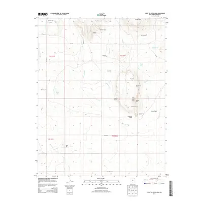
2013 Point of Rocks Mesa
Colfax County, NM
2013 Rayado
Colfax County, NM
2013 Red River Pass
Colfax County, NM
2013 Red River Peak
Colfax County, NM
2013 Robinson Peak
Colfax County, NM
2013 Saltpeter Mountain
Colfax County, NM
2013 Sauble Circle Dot Ranch
Colfax County, NM
2013 Springer Lake
Colfax County, NM
2013 Taylor Springs
Colfax County, NM
2013 The Wall
Colfax County, NM
2013 Tinaja Mountain
Colfax County, NM
2013 Tin Pan Canyon
Colfax County, NM
2013 Tooth of Time
Colfax County, NM
2013 Touch-Me-Not Mountain
Colfax County, NM
2013 Tres Hermanos Peak
Colfax County, NM
2013 Trinchera Pass
Colfax County, NM
2013 Van Bremmer Park
Colfax County, NM
2013 Vermejo Park
Colfax County, NM
2013 White Peak
Colfax County, NM
2013 Yankee
Colfax County, NM
2017 Abbott
Colfax County, NM
2017 Abbott NW
Colfax County, NM
2017 Abreu Canyon
Colfax County, NM
2017 Agua Fria Peak
Colfax County, NM
2017 Ash Mountain
Colfax County, NM
2017 Baldy Mountain
Colfax County, NM
2017 Caliente Canyon North
Colfax County, NM
2017 Caliente Canyon South
Colfax County, NM
2017 Casa Grande
Colfax County, NM
2017 Casa Grande SW
Colfax County, NM
2017 Cimarron SE
Colfax County, NM
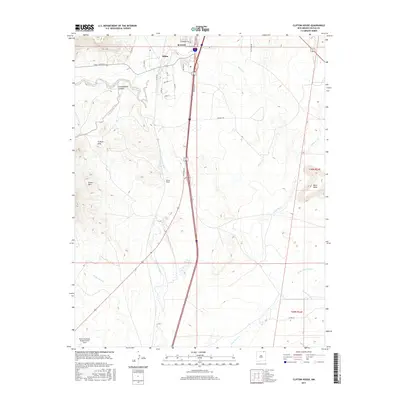
2017 Clifton House
Colfax County, NM
2017 Colfax
Colfax County, NM
2017 Coyote Mesa
Colfax County, NM
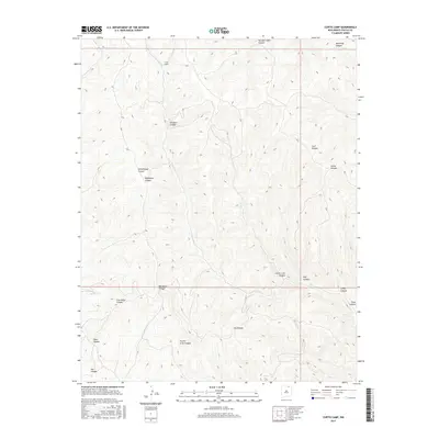
2017 Curtis Camp
Colfax County, NM
2017 Dale Mountain
Colfax County, NM
2017 Dawson
Colfax County, NM
2017 Eagle Tail Mountain
Colfax County, NM
2017 Farley
Colfax County, NM
2017 French
Colfax County, NM
2017 Garcia Peak
Colfax County, NM
2017 House Canyon
Colfax County, NM
2017 Hunter Mesa
Colfax County, NM
2017 Ingram Lake
Colfax County, NM
2017 Johnson Park
Colfax County, NM
2017 Kiowa
Colfax County, NM
2017 Koehler
Colfax County, NM
2017 Lawrence Arroyo
Colfax County, NM
2017 Loco Arroyo
Colfax County, NM
2017 McWilliams Canyon
Colfax County, NM
2017 Mesa Larga
Colfax County, NM
2017 Miami
Colfax County, NM
2017 Miami NE
Colfax County, NM
2017 Osha Mountain
Colfax County, NM
2017 Palo Blanco Mountain
Colfax County, NM
2017 Palo Flechado Pass
Colfax County, NM
2017 Pine Buttes
Colfax County, NM
2017 Pinon Hills
Colfax County, NM
2017 Point of Rocks Mesa
Colfax County, NM
2017 Rayado
Colfax County, NM
2017 Red River Pass
Colfax County, NM
2017 Red River Peak
Colfax County, NM
2017 Robinson Peak
Colfax County, NM
2017 Saltpeter Mountain
Colfax County, NM
2017 Sauble Circle Dot Ranch
Colfax County, NM
2017 Springer Lake
Colfax County, NM
2017 Taylor Springs
Colfax County, NM
2017 The Wall
Colfax County, NM
2017 Tinaja Mountain
Colfax County, NM
2017 Tin Pan Canyon
Colfax County, NM
2017 Tooth of Time
Colfax County, NM
2017 Touch-Me-Not Mountain
Colfax County, NM
2017 Tres Hermanos Peak
Colfax County, NM
2017 Trinchera Pass
Colfax County, NM
2017 Van Bremmer Park
Colfax County, NM
2017 Vermejo Park
Colfax County, NM
2017 White Peak
Colfax County, NM
2017 Yankee
Colfax County, NM
2020 Abbott
Colfax County, NM
2020 Abbott NW
Colfax County, NM
2020 Abreu Canyon
Colfax County, NM
2020 Agua Fria Peak
Colfax County, NM
2020 Ash Mountain
Colfax County, NM
2020 Baldy Mountain
Colfax County, NM
2020 Caliente Canyon North
Colfax County, NM
2020 Caliente Canyon South
Colfax County, NM
2020 Casa Grande
Colfax County, NM
2020 Casa Grande SW
Colfax County, NM
2020 Cimarron SE
Colfax County, NM
2020 Clifton House
Colfax County, NM
2020 Colfax
Colfax County, NM
2020 Coyote Mesa
Colfax County, NM
2020 Curtis Camp
Colfax County, NM
2020 Dale Mountain
Colfax County, NM
2020 Dawson
Colfax County, NM
2020 Eagle Tail Mountain
Colfax County, NM
2020 Farley
Colfax County, NM
2020 French
Colfax County, NM
2020 Garcia Peak
Colfax County, NM
2020 House Canyon
Colfax County, NM
2020 Hunter Mesa
Colfax County, NM
2020 Ingram Lake
Colfax County, NM
2020 Johnson Park
Colfax County, NM
2020 Kiowa
Colfax County, NM
2020 Koehler
Colfax County, NM
2020 Lawrence Arroyo
Colfax County, NM
2020 Loco Arroyo
Colfax County, NM
2020 McWilliams Canyon
Colfax County, NM
2020 Mesa Larga
Colfax County, NM
2020 Miami
Colfax County, NM
2020 Miami NE
Colfax County, NM
2020 Osha Mountain
Colfax County, NM
2020 Palo Blanco Mountain
Colfax County, NM
2020 Palo Flechado Pass
Colfax County, NM
2020 Pine Buttes
Colfax County, NM
2020 Pinon Hills
Colfax County, NM
2020 Point of Rocks Mesa
Colfax County, NM
2020 Rayado
Colfax County, NM
2020 Red River Pass
Colfax County, NM
2020 Red River Peak
Colfax County, NM
2020 Robinson Peak
Colfax County, NM
2020 Saltpeter Mountain
Colfax County, NM
2020 Sauble Circle Dot Ranch
Colfax County, NM
2020 Springer Lake
Colfax County, NM
2020 Taylor Springs
Colfax County, NM
2020 The Wall
Colfax County, NM
2020 Tinaja Mountain
Colfax County, NM

2020 Tin Pan Canyon
Colfax County, NM
2020 Tooth of Time
Colfax County, NM
2020 Touch-Me-Not Mountain
Colfax County, NM
2020 Tres Hermanos Peak
Colfax County, NM
2020 Trinchera Pass
Colfax County, NM
2020 Van Bremmer Park
Colfax County, NM
2020 Vermejo Park
Colfax County, NM
2020 White Peak
Colfax County, NM
2020 Yankee
Colfax County, NM
2023 Abbott
Colfax County, NM
2023 Abbott NW
Colfax County, NM
2023 Abreu Canyon
Colfax County, NM
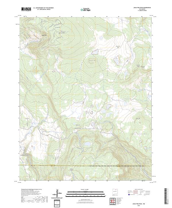
2023 Agua Fria Peak
Colfax County, NM
2023 Ash Mountain
Colfax County, NM
2023 Baldy Mountain
Colfax County, NM
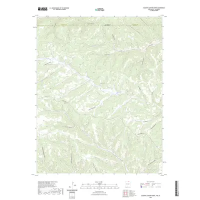
2023 Caliente Canyon North
Colfax County, NM
2023 Caliente Canyon South
Colfax County, NM
2023 Casa Grande
Colfax County, NM
2023 Casa Grande SW
Colfax County, NM
2023 Cimarron SE
Colfax County, NM
2023 Clifton House
Colfax County, NM
2023 Colfax
Colfax County, NM
2023 Coyote Mesa
Colfax County, NM
2023 Curtis Camp
Colfax County, NM
2023 Dale Mountain
Colfax County, NM

2023 Dawson
Colfax County, NM
2023 Eagle Tail Mountain
Colfax County, NM
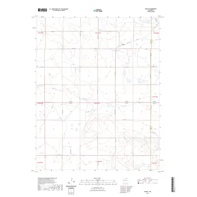
2023 Farley
Colfax County, NM
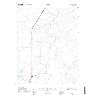
2023 French
Colfax County, NM
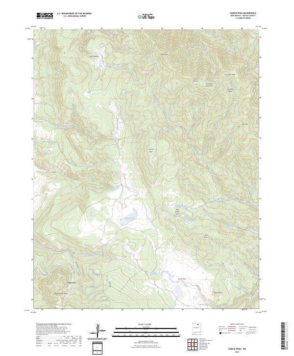
2023 Garcia Peak
Colfax County, NM
2023 House Canyon
Colfax County, NM
2023 Hunter Mesa
Colfax County, NM
2023 Ingram Lake
Colfax County, NM
2023 Johnson Park
Colfax County, NM
2023 Kiowa
Colfax County, NM
2023 Koehler
Colfax County, NM
2023 Lawrence Arroyo
Colfax County, NM
2023 Loco Arroyo
Colfax County, NM
2023 McWilliams Canyon
Colfax County, NM
2023 Mesa Larga
Colfax County, NM
2023 Miami
Colfax County, NM
2023 Miami NE
Colfax County, NM
2023 Osha Mountain
Colfax County, NM
2023 Palo Blanco Mountain
Colfax County, NM
2023 Palo Flechado Pass
Colfax County, NM
2023 Pine Buttes
Colfax County, NM
2023 Pinon Hills
Colfax County, NM
2023 Point of Rocks Mesa
Colfax County, NM
2023 Rayado
Colfax County, NM
2023 Red River Pass
Colfax County, NM
2023 Red River Peak
Colfax County, NM
2023 Robinson Peak
Colfax County, NM
2023 Saltpeter Mountain
Colfax County, NM
2023 Sauble Circle Dot Ranch
Colfax County, NM
2023 Springer Lake
Colfax County, NM
2023 Taylor Springs
Colfax County, NM
2023 The Wall
Colfax County, NM
2023 Tinaja Mountain
Colfax County, NM
2023 Tin Pan Canyon
Colfax County, NM
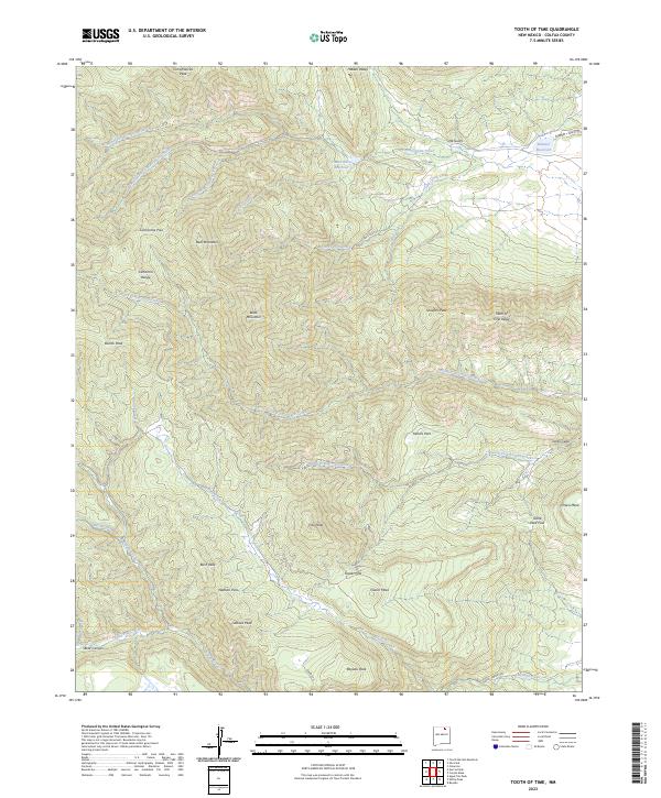
2023 Tooth of Time
Colfax County, NM

2023 Touch-Me-Not Mountain
Colfax County, NM
2023 Tres Hermanos Peak
Colfax County, NM
2023 Trinchera Pass
Colfax County, NM
2023 Van Bremmer Park
Colfax County, NM
2023 Vermejo Park
Colfax County, NM
2023 White Peak
Colfax County, NM
2023 Yankee
Colfax County, NM