Old Maps of Cimarron, New Mexico
Explore 18 old maps of Cimarron, spanning from 1954 to today. These high-resolution historic maps reveal how streets, neighborhoods, landmarks, and natural features evolved over time — perfect for genealogy, metal detecting, research, and local history exploration.
What you can do with these maps:
- See how Cimarron changed over time: Compare historical maps to modern-day views to trace roads, homesites, rail lines & more.
- View detailed metadata: Each map includes creators, publishers, year, scale, and archive source.
- Overlay maps with satellite & LiDAR: Visualize the past alongside modern tools to explore terrain & human change.
- Trusted historical sources: Maps sourced from the USGS, Library of Congress, and other archives.
- Access maps your way: View online, download high-res files, or order prints for personal or research use.
Start exploring old maps of Cimarron to uncover forgotten places, hidden landmarks, and the deep history beneath your feet.
Cimarron, NM maps
(18)- 1954 Map of Raton, 1963 Print
 1954 Raton1963 Print · USGSNorthern New Mexico's high-country and plains are documented here in the early sixties, showing the region's ranching and mining infrastructure. Trace the legacy of the Maxwell Land Grant, locate remote rural sites like Tafoya School, and follow the Atchison Topeka and Santa Fe Railway through the heart of Raton.3 unique versions available
 - 1955 Map of Cimarron
 1955 Cimarron1955 Print · USGSNorthern New Mexico's ranching and mining heartland is captured here in the mid-fifties, centered on the historic Maxwell Grant. Researchers can trace early infrastructure like the Old Railroad Grade and Dawson Trail, or locate the Umbrella Mine near Dawson.3 unique versions available
 - 1956 Map of Miami, 1957 Print
 1956 Miami1957 Print · USGSColfax County ranch lands and scout camps come into focus in the mid-1950s, showing the intersection of the Maxwell Grant and early tourism. Trace local genealogy and landmarks at Miami, the Sacred Heart Ch, and the historic Philmont Scout Ranch.4 unique versions available
 - 1958 Map of Raton
 1958 Raton1958 Print · USGSNorthern New Mexico and the Colorado borderlands are mapped here in the late fifties, showcasing a landscape of high peaks and historic land grants. Genealogists and historians can trace families across Picuris Pueblo, find old schoolhouses like Piedra Lumbre School, or follow the Atchison Topeka and Santa Fe rail line.3 unique versions available
 - 1981 Map of Springer
 1981 Springer1981 Print · USGSNortheast New Mexico in the early eighties remains a landscape defined by its deep historical pathways and massive land grants. Genealogists and historians can trace the original Santa Fe Trail routes, the State Boys School at Springer, and the landmarks of Wagon Mound.
 - 1981 Map of Raton
 1981 Raton1981 Print · USGSNorthern New Mexico's high mesas and mining corridors are preserved here as they appeared in the early eighties. Genealogists and historians can trace the transit networks of the Santa Fe Trail and find company towns like Van Houten and Koehler.
 - 1987 Map of Coyote Mesa
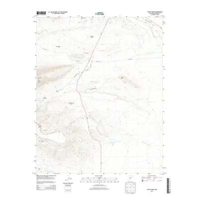
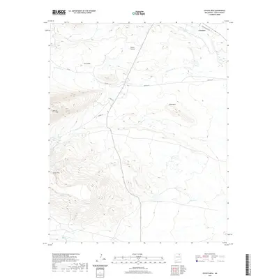
 1987 Coyote Mesa1987 Print · USGSColfax County's high-country terrain is captured in the late 1980s, showcasing the extensive geography of the Philmont Scout Ranch. Researchers can trace old mountain outposts like Zastrow Camp and Nairn Place or locate landmarks such as Tooth of Time Ridge.
 - 1987 Map of Cimarron
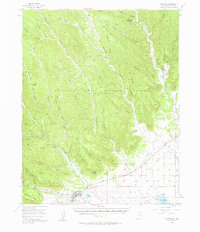
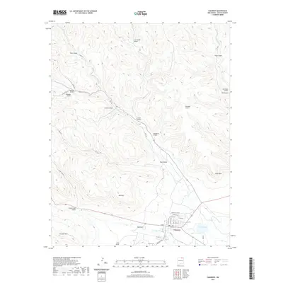
 1987 Cimarron1987 Print · USGSCimarron and the surrounding highlands were home to thriving scout camps and ranching operations during the late eighties. Researchers can trace the Old Railroad Grade and locate historical sites like Indian Writings Camp and the Cemetery near the river.
 - 2010 Map of Cimarron, 2010 Print
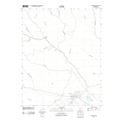 2010 Cimarron2010 Print · USGSCovers Cimarron, including Colfax County, United States, and other nearby areas
 - 2010 Map of Coyote Mesa, 2010 Print
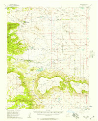
 2010 Coyote Mesa2010 Print · USGSCovers Cimarron, including Colfax County, United States, and other nearby areas
 - 2013 Map of Cimarron, 2013 Print
 2013 Cimarron2013 Print · USGSCovers Cimarron, including Colfax County, United States, and other nearby areas
 - 2013 Map of Coyote Mesa, 2013 Print
 2013 Coyote Mesa2013 Print · USGSCovers Cimarron, including Colfax County, United States, and other nearby areas
 - 2017 Map of Cimarron, 2017 Print
 2017 Cimarron2017 Print · USGSCovers Cimarron, including Colfax County, United States, and other nearby areas
 - 2017 Map of Coyote Mesa, 2017 Print
 2017 Coyote Mesa2017 Print · USGSCovers Cimarron, including Colfax County, United States, and other nearby areas
 - 2020 Map of Cimarron, 2020 Print
 2020 Cimarron2020 Print · USGSCovers Cimarron, including Colfax County, United States, and other nearby areas
 - 2020 Map of Coyote Mesa, 2020 Print
 2020 Coyote Mesa2020 Print · USGSCovers Cimarron, including Colfax County, United States, and other nearby areas
 - 2023 Map of Cimarron, 2023 Print
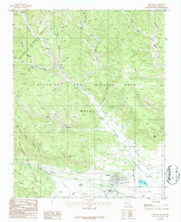
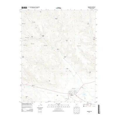
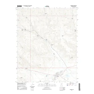
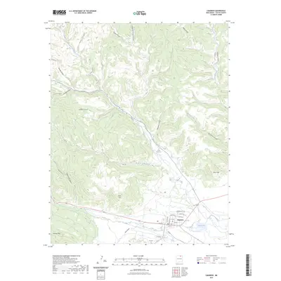 2023 Cimarron2023 Print · USGSCimarron and the canyonlands of Colfax County appear in this modern survey of the high desert and mountain fringe. Researchers can trace the layout of the settlement alongside geographic landmarks like French Lake, the Chase Ranch Cem, and the winding Dean Trl.
 - 2023 Map of Coyote Mesa, 2023 Print
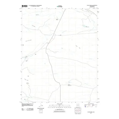
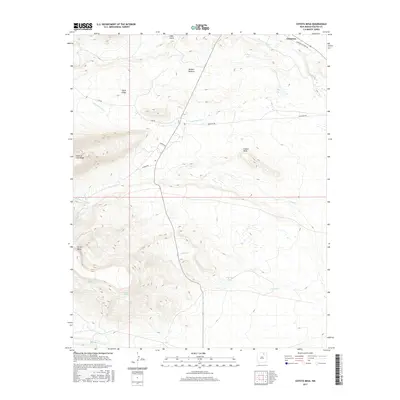
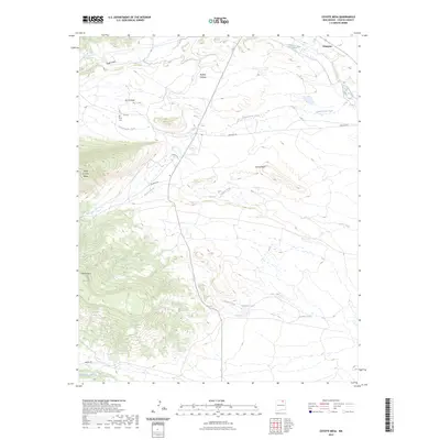 2023 Coyote Mesa2023 Print · USGSThe area around Cimarron is captured here in the early twenty-first century, showing the transition from high mesa plains to mountain ridges. Trace local landmarks like the Heck Cem, Tooth of Time Ridge, and the waters of Hagerdon Lake.
End of results
Showing maps 1-18 of 18
Frequently asked questions
- What are the different types of historical maps available for Cimarron?
- What is the oldest map of Cimarron?
- Where can I purchase historical maps of Cimarron for my home or office?
- Where can I download high-res historical maps of Cimarron?
- Are there historical topographic maps available for Cimarron?
- Is there historical aerial imagery available for Cimarron?
- Where are historical maps of Cimarron sourced from?