
1963 Map of Eagle Nest
USGS Topo · Published 1967About this map
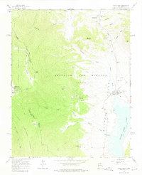
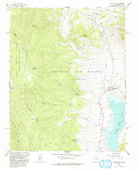
Beaubien and Miranda (Maxwell) Grant lands dominate this high-altitude landscape, illustrating the enduring legacy of Spanish and Mexican land grants in the Sangre de Cristo Mountains. The village of Eagle Nest sits on the shore of Eagle Nest Lake, a focal point for the surrounding Moreno Valley. High-country drainage patterns are defined by Comanche Creek and Moreno Creek, which flow through a region shaped by both ranching and mineral exploration. Evidence of earlier extraction is visible at the Klondike Mine and other prospects near Iron Mtn. The rugged western portion of the sheet is preserved within the Carson National Forest and the Wheeler Peak Wilderness, where topographic landmarks like Taos Peak and Taos Cone rise above the Sawmill Creek Trail. Settlements like Idlewild, Frolic, and Lakeview Pines suggest a mid-century era of seasonal residency and mountain retreat.
Find a feature on this map
37 named features on this map. Tap any name to fly to it.
Don’t see what you’re looking for? This feature index may not catch every label — zoom into the map to look around manually.
Map Details
Editions of this 1963 Eagle Nest Map
3 editions found
Other maps of this area

1954 · Raton
USGS Topo · 1:250,000

1955 · Ute Park
USGS Topo · 1:62,500

1956 · Tooth Of Time
USGS Topo · 1:62,500

1958 · Raton
USGS Topo · 1:250,000

1963 · Wheeler Peak
USGS Topo · 1:24,000

1963 · Red River Pass
USGS Topo · 1:24,000

1963 · Red River
USGS Topo · 1:24,000

1965 · Palo Flechado Pass
USGS Topo · 1:24,000

1965 · Pueblo Peak
USGS Topo · 1:24,000

1982 · Wheeler Peak
USGS Topo · 1:100,000