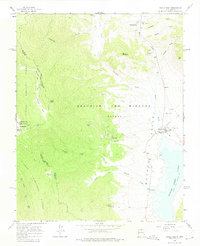
1963 Map of Eagle Nest
USGS Topo · Published 1975About this map
Elizabethtown and Eagle Nest anchor this 1960s survey of the Moreno Valley, illustrating a landscape defined by high-altitude mining history and water management. The map details a transition from the historic gold-producing districts near Grouse Gulch to the recreational and ranching developments around Eagle Nest Lake. Mining remains are prominent, with the Klondike Mine situated on the slopes of the Sangre de Cristo Mountains and multiple unidentified mines and gravel pits scattered across the northern terrain.
Find a feature on this map
37 named features on this map. Tap any name to fly to it.
Don’t see what you’re looking for? This feature index may not catch every label — zoom into the map to look around manually.
Map Details
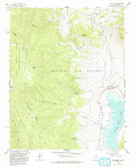
Editions of this 1963 Eagle Nest Map
3 editions found
Other maps of this area

1954 · Raton
USGS Topo · 1:250,000

1955 · Ute Park
USGS Topo · 1:62,500

1956 · Tooth Of Time
USGS Topo · 1:62,500

1958 · Raton
USGS Topo · 1:250,000

1963 · Wheeler Peak
USGS Topo · 1:24,000

1963 · Eagle Nest
USGS Topo · 1:24,000

1963 · Red River Pass
USGS Topo · 1:24,000

1963 · Red River
USGS Topo · 1:24,000

1965 · Palo Flechado Pass
USGS Topo · 1:24,000

1965 · Pueblo Peak
USGS Topo · 1:24,000