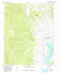
1963 Map of Eagle Nest
USGS Topo · Published 1993About this map
Moreno Valley serves as the central corridor of this high-altitude landscape, where the waters of Comanche Creek and Moreno Creek drain toward the expansive Eagle Nest Lake. The map details a transition from the historic mining and ranching interests of the Beaubien and Miranda (Maxwell) land grant to the protected reaches of the Carson National Forest and the Wheeler Peak Wilderness. Of particular interest to local historians is the settlement of Elizabethtown in the north, a former gold-mining hub, along with smaller locales like Idlewild and Frolic.
Find a feature on this map
39 named features on this map. Tap any name to fly to it.
Don’t see what you’re looking for? This feature index may not catch every label — zoom into the map to look around manually.
Map Details
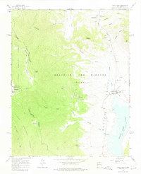
Editions of this 1963 Eagle Nest Map
3 editions found
Other maps of this area

1954 · Raton
USGS Topo · 1:250,000

1955 · Ute Park
USGS Topo · 1:62,500

1956 · Tooth Of Time
USGS Topo · 1:62,500

1958 · Raton
USGS Topo · 1:250,000

1963 · Wheeler Peak
USGS Topo · 1:24,000

1963 · Eagle Nest
USGS Topo · 1:24,000

1963 · Red River Pass
USGS Topo · 1:24,000

1963 · Red River
USGS Topo · 1:24,000

1965 · Palo Flechado Pass
USGS Topo · 1:24,000

1965 · Pueblo Peak
USGS Topo · 1:24,000