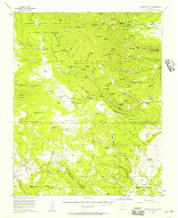
1956 Map of Tooth Of Time
USGS Topo · Published 1957About this map
The Philmont Scout Ranch dominates this high-altitude landscape in the mid-1950s, revealing a network of base camps and trail camps across the Beaubien and Miranda Grant (Maxwell Grant). The map details the specific geography of early ranching and scouting history, from the Old Abreu Lodge to the Old Cartwright Mill Site. Rugged landmarks like the Tooth of Time Ridge and the iconic Tooth of Time rise above the complex drainages of Rayado Creek and Agua Fria Creek.
Find a feature on this map
112 named features on this map. Tap any name to fly to it.
Don’t see what you’re looking for? This feature index may not catch every label — zoom into the map to look around manually.
Map Details
Editions of this 1956 Tooth Of Time Map
4 editions found
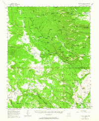
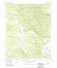
Other maps of this area

1954 · Raton
USGS Topo · 1:250,000

1955 · Cimarron
USGS Topo · 1:62,500

1955 · Ute Park
USGS Topo · 1:62,500

1956 · Tooth Of Time
USGS Topo · 1:62,500

1956 · Miami
USGS Topo · 1:62,500

1958 · Raton
USGS Topo · 1:250,000

1963 · Eagle Nest
USGS Topo · 1:24,000

1965 · Osha Mountain
USGS Topo · 1:24,000

1965 · Chacon
USGS Topo · 1:24,000

1965 · Palo Flechado Pass
USGS Topo · 1:24,000