Old Maps of Maxwell, New Mexico for Academic Research
Study the evolution of Maxwell with 11 high-resolution historic maps. Whether you're teaching, researching, or modeling changes in land use, these maps provide essential visual documentation of urban, environmental, and geographic change.
- Analyze long-term change: Track patterns in development, transportation, and natural features.
- Ideal for environmental or urban studies: Support academic projects with primary historical map data.
- Use in the classroom or lab: Educators and researchers rely on these maps to bring historical context to life.
These maps are a powerful tool for teaching, research, and visualizing how Maxwell has changed over the decades.
Maxwell, NM maps
(11)- 1915 Map of Koehler, 1966 Print
 1915 Koehler1966 Print · USGSColfax County at the height of its rail and ranching era reveals a landscape of massive land grants and early irrigation systems. Genealogists can trace family connections to ranching outposts like Crow Creek Ranch or early schools such as Red River School and Grand Valley School.
 - 1917 Map of Koehler
 1917 Koehler1917 Print · USGSColfax County at the time of the Great War shows a transition from high desert canyons to a landscape transformed by large-scale ranching and irrigation. Genealogists and historians can trace the foundations of Maxwell, the cattle operations of C S Ranch, and early rural education at Red River School.2 unique versions available
 - 1954 Map of Raton, 1963 Print
 1954 Raton1963 Print · USGSNorthern New Mexico's high-country and plains are documented here in the early sixties, showing the region's ranching and mining infrastructure. Trace the legacy of the Maxwell Land Grant, locate remote rural sites like Tafoya School, and follow the Atchison Topeka and Santa Fe Railway through the heart of Raton.3 unique versions available
 - 1958 Map of Raton
 1958 Raton1958 Print · USGSNorthern New Mexico and the Colorado borderlands are mapped here in the late fifties, showcasing a landscape of high peaks and historic land grants. Genealogists and historians can trace families across Picuris Pueblo, find old schoolhouses like Piedra Lumbre School, or follow the Atchison Topeka and Santa Fe rail line.3 unique versions available
 - 1971 Map of Maxwell, 1974 Print
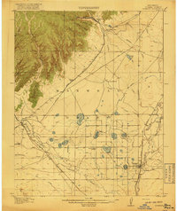
 1971 Maxwell1974 Print · USGSColfax County's high plains are revealed here in the early 1970s, showing a landscape shaped by the Beaubien and Miranda Grant and massive irrigation projects. Genealogists and historians can trace the Red River School, the local Cem, and the path of the historic Santa Fe Trail.
 - 1981 Map of Raton
 1981 Raton1981 Print · USGSNorthern New Mexico's high mesas and mining corridors are preserved here as they appeared in the early eighties. Genealogists and historians can trace the transit networks of the Santa Fe Trail and find company towns like Van Houten and Koehler.
 - 2010 Map of Maxwell, 2010 Print
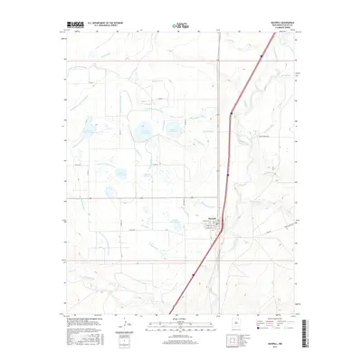
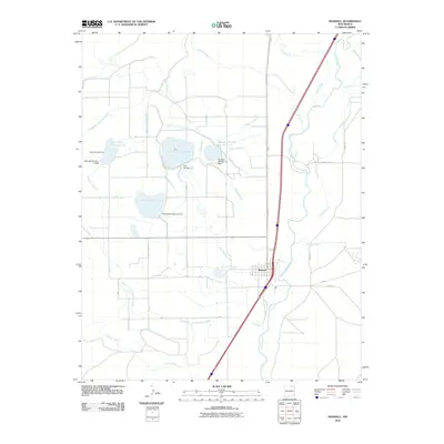 2010 Maxwell2010 Print · USGSCovers Maxwell, including Colfax County, United States, and other nearby areas
 - 2013 Map of Maxwell, 2013 Print
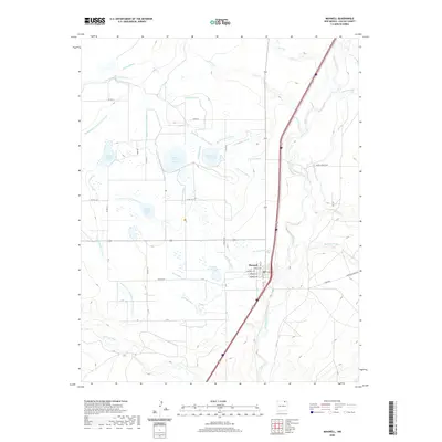
 2013 Maxwell2013 Print · USGSCovers Maxwell, including Colfax County, United States, and other nearby areas
 - 2017 Map of Maxwell, 2017 Print
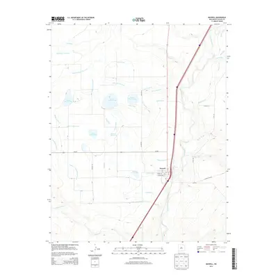
 2017 Maxwell2017 Print · USGSCovers Maxwell, including Colfax County, United States, and other nearby areas
 - 2020 Map of Maxwell, 2020 Print
 2020 Maxwell2020 Print · USGSCovers Maxwell, including Colfax County, United States, and other nearby areas
 - 2023 Map of Maxwell, 2023 Print
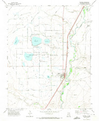
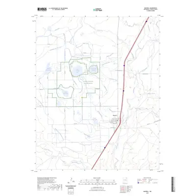 2023 Maxwell2023 Print · USGSThe village of Maxwell and its surrounding plains are revealed in this 2020s study of Colfax County water management and conservation. Genealogists and researchers can locate the Maxwell Cem and trace the complex irrigation networks of the Maxwell National Wildlife Refuge, including Siphon Ditch and Vermejo River.
End of results
Showing maps 1-11 of 11
Top cities near Maxwell
Top neighborhoods of Maxwell
Frequently asked questions
- What are the different types of historical maps available for Maxwell?
- What is the oldest map of Maxwell?
- Where can I purchase historical maps of Maxwell for my home or office?
- Where can I download high-res historical maps of Maxwell?
- Are there historical topographic maps available for Maxwell?
- Is there historical aerial imagery available for Maxwell?
- Where are historical maps of Maxwell sourced from?