Old Maps of Fort Sumner, New Mexico
Explore 15 old maps of Fort Sumner, spanning from 1954 to today. These high-resolution historic maps reveal how streets, neighborhoods, landmarks, and natural features evolved over time — perfect for genealogy, metal detecting, research, and local history exploration.
What you can do with these maps:
- See how Fort Sumner changed over time: Compare historical maps to modern-day views to trace roads, homesites, rail lines & more.
- View detailed metadata: Each map includes creators, publishers, year, scale, and archive source.
- Overlay maps with satellite & LiDAR: Visualize the past alongside modern tools to explore terrain & human change.
- Trusted historical sources: Maps sourced from the USGS, Library of Congress, and other archives.
- Access maps your way: View online, download high-res files, or order prints for personal or research use.
Start exploring old maps of Fort Sumner to uncover forgotten places, hidden landmarks, and the deep history beneath your feet.
Fort Sumner, NM maps
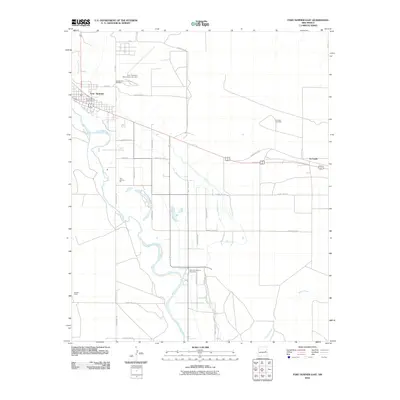
(15)- 1954 Map of Fort Sumner, 1964 Print
 1954 Fort Sumner1964 Print · USGSEast-central New Mexico's ranching and rail heartland is captured here in the mid-1950s, centered on the strategic junctions of the high plains. Researchers can trace the development of early highway networks and rail towns like Vaughn, Fort Sumner, and the copper operations at Guadalupe Mine.3 unique versions available
 - 1958 Map of Fort Sumner
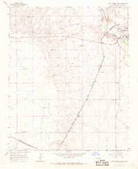
 1958 Fort Sumner1958 Print · USGSEast-central New Mexico in the mid-fifties is captured here as a sprawling landscape of high mesas and cattle ranching. Researchers can trace the convergence of the Southern Pacific railroad at Vaughn and locate family landmarks like Borica School or Marquez Ranch.
 - 1965 Map of Fort Sumner West, 1968 Print
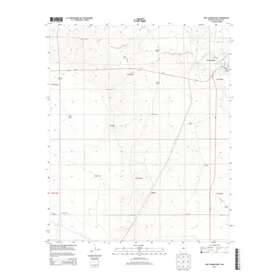
 1965 Fort Sumner West1968 Print · USGSDe Baca County ranching and rail infrastructure are on full display in the mid-sixties as the Atchison Topeka and Santa Fe cuts across the plains. Genealogists and local historians can locate specific family outposts like Steele Ranch, Vaughn Ranch, and Jensen Well.2 unique versions available
 - 1968 Map of Fort Sumner East, 1971 Print
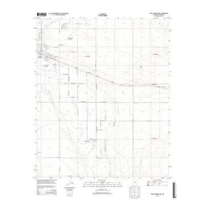
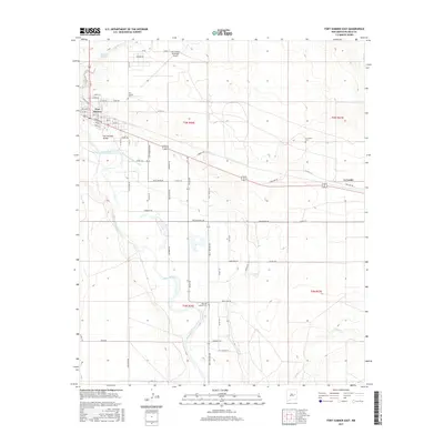
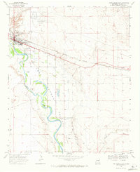 1968 Fort Sumner East1971 Print · USGSThe Pecos River valley in the late sixties shows a landscape of rail-and-river dependency in De Baca County. Genealogists and historians can trace the Atchison Topeka and Santa Fe line, local landmarks like Vaughn Ranch, and three separate burial sites including Old Ft Sumner Cem.2 unique versions available
 - 1979 Map of Fort Sumner
 1979 Fort Sumner1979 Print · USGSThe Pecos River valley in the late seventies reveals a landscape shaped by irrigation and the rail lines of the Atchison Topeka and Santa Fe. Genealogists and historians can trace small communities like Taiban and Yeso alongside landmarks like The Caprock.
 - 2010 Map of Fort Sumner West, 2010 Print
 2010 Fort Sumner West2010 Print · USGSCovers Fort Sumner, including De Baca County, United States, and other nearby areas
 - 2010 Map of Fort Sumner East, 2010 Print
 2010 Fort Sumner East2010 Print · USGSCovers Fort Sumner, including La Lande, De Baca County, and other nearby areas
 - 2013 Map of Fort Sumner West, 2013 Print
 2013 Fort Sumner West2013 Print · USGSCovers Fort Sumner, including De Baca County, United States, and other nearby areas
 - 2013 Map of Fort Sumner East, 2013 Print
 2013 Fort Sumner East2013 Print · USGSCovers Fort Sumner, including La Lande, De Baca County, and other nearby areas
 - 2017 Map of Fort Sumner East, 2017 Print
 2017 Fort Sumner East2017 Print · USGSCovers Fort Sumner, including La Lande, De Baca County, and other nearby areas
 - 2017 Map of Fort Sumner West, 2017 Print
 2017 Fort Sumner West2017 Print · USGSCovers Fort Sumner, including De Baca County, United States, and other nearby areas
 - 2020 Map of Fort Sumner West, 2020 Print
 2020 Fort Sumner West2020 Print · USGSCovers Fort Sumner, including De Baca County, United States, and other nearby areas
 - 2020 Map of Fort Sumner East, 2020 Print
 2020 Fort Sumner East2020 Print · USGSCovers Fort Sumner, including La Lande, De Baca County, and other nearby areas
 - 2023 Map of Fort Sumner East, 2023 Print
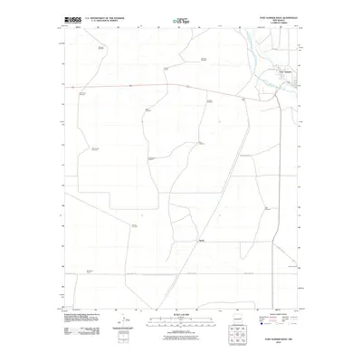
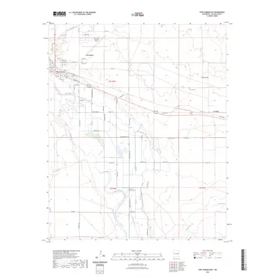 2023 Fort Sumner East2023 Print · USGSDe Baca County in the early twenty-first century remains defined by the legacy of the Pecos and the history of its namesake settlement. Researchers can locate specific burial sites at the Old Fort Sumner Cem or trace local landmarks like the De Baca County Courthouse and La Lande.
 - 2023 Map of Fort Sumner West, 2023 Print
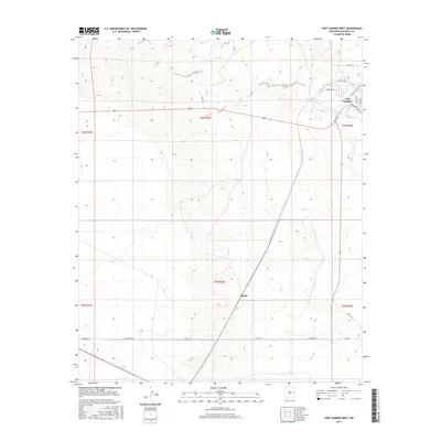
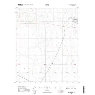
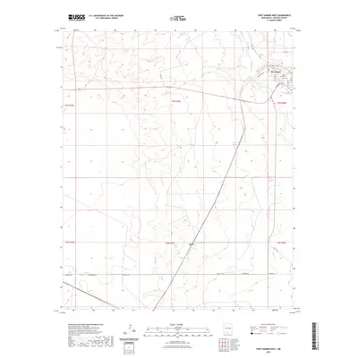 2023 Fort Sumner West2023 Print · USGSThe Pecos River valley and the western fringes of Fort Sumner are documented in this contemporary survey of the New Mexico plains. Researchers can trace local landmarks like Saint Anthony Cem or follow the rail-side settlement at Agudo and the path of Ricaedo Rd.
End of results
Showing maps 1-15 of 15
Frequently asked questions
- What are the different types of historical maps available for Fort Sumner?
- What is the oldest map of Fort Sumner?
- Where can I purchase historical maps of Fort Sumner for my home or office?
- Where can I download high-res historical maps of Fort Sumner?
- Are there historical topographic maps available for Fort Sumner?
- Is there historical aerial imagery available for Fort Sumner?
- Where are historical maps of Fort Sumner sourced from?