Old Maps of Carne, New Mexico for Hiking & Exploration
Hike through history with 12 historic maps of Carne. Explore old trails, ghost towns, and forgotten backroads — perfect for outdoor adventurers and local explorers.
- Rediscover forgotten places: Map out old mining camps, roads, and footpaths that no longer exist on modern maps.
- Layer with modern tools: Combine with LiDAR or satellite views to plan hikes through historical terrain.
- Made for exploration: Popular among hikers, overlanders, and local history lovers.
Use these maps to find adventure and explore the hidden past of Carne.
Carne, NM maps
(12)- 1899 Map of Deming
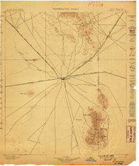 1899 Deming1899 Print · USGSRailroads converge at the desert hub of Deming before the turn of the century, revealing a landscape of frontier outposts and isolated water tanks. Genealogists and historians can trace rail-side stops like Tunis and Florida or the site of historic Fort Cummings.2 unique versions available
 - 1915 Map of Deming
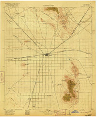 1915 Deming1915 Print · USGSDeming and the surrounding high desert of Luna County were a critical crossroads of Southwestern rail and wagon traffic at the start of the twentieth century. Genealogists can locate family holdings like the 76 Ranch and early social hubs including Midway Iola P O and Tunis School.4 unique versions available
 - 1955 Map of Las Cruces, 1963 Print
 1955 Las Cruces1963 Print · USGSSouthern New Mexico comes into focus during the mid-fifties, showing the growth of Las Cruces alongside major military and scientific installations. Genealogists and historians can trace the Southern Pacific tracks through small rail towns like Cambray and Afton, or locate family sites near Hatch and Deming.3 unique versions available
 - 1958 Map of Las Cruces
 1958 Las Cruces1958 Print · USGSSouthern New Mexico in the late fifties was a landscape of rapid scientific and military growth centered on the Rio Grande. Local historians can trace the development of Las Cruces, the campus of New Mexico A and M College, and remote rail sidings like Aden Siding.
 - 1965 Map of Carne, 1967 Print
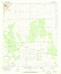 1965 Carne1967 Print · USGSRailroads and ranching define this Luna County landscape in the mid-sixties, where major lines like the Southern Pacific intersect. Genealogists and historians can trace the settlement at Carne and locate family-named water sources such as Kelly Windmill and Eagles Windmill.2 unique versions available
 - 1982 Map of Deming, 1983 Print
 1982 Deming1983 Print · USGSDeming and the surrounding high desert emerge in the early 1980s as a vital transportation and mining corridor. Genealogists and historians can trace the rail sidings of Cambray and Akela or locate the historic Fort Cummings (Ruins) near the Cookes Range.2 unique versions available
 - 1996 Map of Carne, 2003 Print
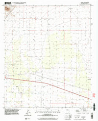 1996 Carne2003 Print · USGSThe high desert plains of Luna County are captured here in the mid-nineties, showing a landscape shaped by rural ranching and infrastructure. Researchers can trace water sources across the Lewis Flats and locate landmarks like the Carne settlement and Wolf Windmill.
 - 2010 Map of Carne, 2010 Print
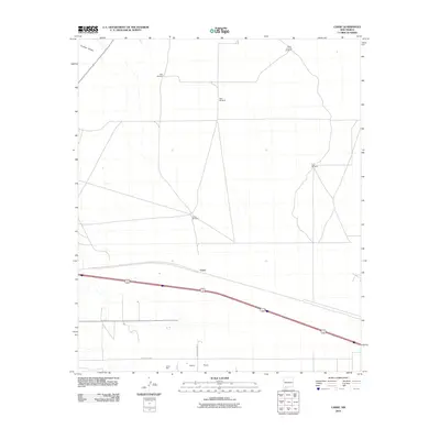 2010 Carne2010 Print · USGSCovers Carne, including Luna County, United States, and other nearby areas
 - 2013 Map of Carne, 2013 Print
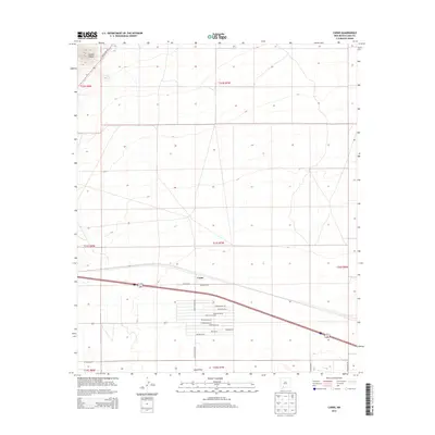 2013 Carne2013 Print · USGSCovers Carne, including Luna County, United States, and other nearby areas
 - 2017 Map of Carne, 2017 Print
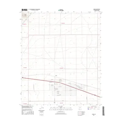 2017 Carne2017 Print · USGSCovers Carne, including Luna County, United States, and other nearby areas
 - 2020 Map of Carne, 2020 Print
 2020 Carne2020 Print · USGSCovers Carne, including Luna County, United States, and other nearby areas
 - 2023 Map of Carne, 2023 Print
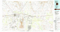
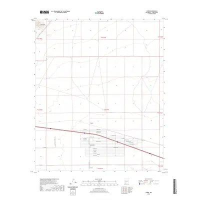
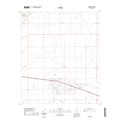 2023 Carne2023 Print · USGSIn the high desert of Luna County, this survey documents the desert settlements and modern transit corridors of the early twenty-first century. Researchers can trace rural property lines and local landmarks like Carne, Lewis Flats, and the FAA Air Traffic Control Lock.
End of results
Showing maps 1-12 of 12
Top cities near Carne
Frequently asked questions
- What are the different types of historical maps available for Carne?
- What is the oldest map of Carne?
- Where can I purchase historical maps of Carne for my home or office?
- Where can I download high-res historical maps of Carne?
- Are there historical topographic maps available for Carne?
- Is there historical aerial imagery available for Carne?
- Where are historical maps of Carne sourced from?