Old Maps of Alamito, New Mexico for Hiking & Exploration
Hike through history with 9 historic maps of Alamito. Explore old trails, ghost towns, and forgotten backroads — perfect for outdoor adventurers and local explorers.
- Rediscover forgotten places: Map out old mining camps, roads, and footpaths that no longer exist on modern maps.
- Layer with modern tools: Combine with LiDAR or satellite views to plan hikes through historical terrain.
- Made for exploration: Popular among hikers, overlanders, and local history lovers.
Use these maps to find adventure and explore the hidden past of Alamito.
Alamito, NM maps
(9)- 1954 Map of Santa Fe, 1963 Print
 1954 Santa Fe1963 Print · USGSNew Mexico's high mountains and eastern plains meet in the mid-fifties, showing a landscape defined by the Sangre de Cristo Mountains and the Pecos River. Trace family roots and local history through San Christobal Church, Sena School, and the historic Las Vegas rail corridor.4 unique versions available
 - 1958 Map of Santa Fe
 1958 Santa Fe1958 Print · USGSThe Sangre De Cristo Mountains meet the high plains in the late 1950s, showing a landscape defined by rail corridors and ranching. Genealogists can trace family-named sites like Upton Ranch or visit the Fort Union (Ruins) and Tuloso School.
 - 1971 Map of Alamito, 1975 Print
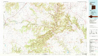
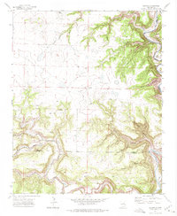 1971 Alamito1975 Print · USGSNortheastern New Mexico ranchlands meet the deep river breaks of the High Plains in the early seventies. Genealogists and local historians can trace family-named landmarks like Cañon de los Nieves and Banco Redondo near the remote settlement of Alamito.
 - 1981 Map of Roy, 1982 Print
 1981 Roy1982 Print · USGSNortheastern New Mexico's ranching and volcanic landscapes are documented here in the early eighties. Researchers can trace the Santa Fe Trail, locate the historic Fort Union Nat Mon, and explore the rail corridor through Roy and Solano.
 - 2010 Map of Alamito, 2010 Print
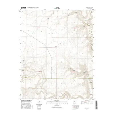
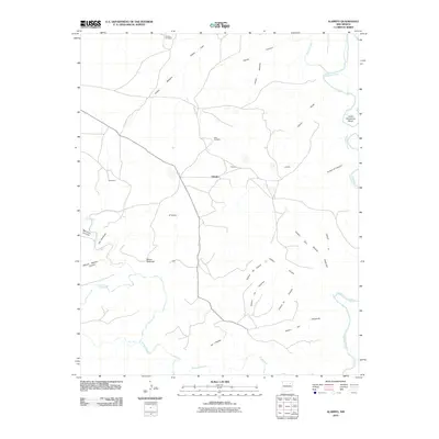 2010 Alamito2010 Print · USGSCovers Alamito, including San Miguel County, Harding County, and other nearby areas
 - 2013 Map of Alamito, 2013 Print
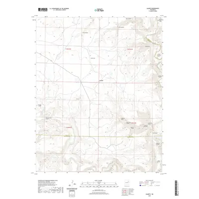
 2013 Alamito2013 Print · USGSCovers Alamito, including San Miguel County, Harding County, and other nearby areas
 - 2017 Map of Alamito, 2017 Print
 2017 Alamito2017 Print · USGSCovers Alamito, including San Miguel County, Harding County, and other nearby areas
 - 2020 Map of Alamito, 2020 Print
 2020 Alamito2020 Print · USGSCovers Alamito, including San Miguel County, Harding County, and other nearby areas
 - 2023 Map of Alamito, 2023 Print
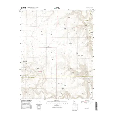
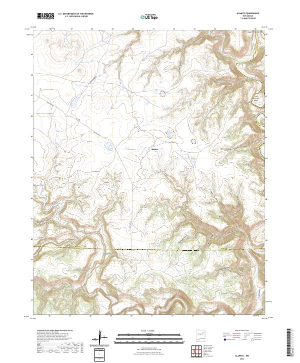 2023 Alamito2023 Print · USGSThe high mesa country where the Mora and Canadian rivers meet is captured here in modern detail. Researchers can trace the winding paths of Upper Horseshoe Bend and find landmarks like Alamito and the remote Pozo Azul.
End of results
Showing maps 1-9 of 9
Top cities near Alamito
Frequently asked questions
- What are the different types of historical maps available for Alamito?
- What is the oldest map of Alamito?
- Where can I purchase historical maps of Alamito for my home or office?
- Where can I download high-res historical maps of Alamito?
- Are there historical topographic maps available for Alamito?
- Is there historical aerial imagery available for Alamito?
- Where are historical maps of Alamito sourced from?