Old Maps of Ojo Feliz, New Mexico for Hiking & Exploration
Hike through history with 10 historic maps of Ojo Feliz. Explore old trails, ghost towns, and forgotten backroads — perfect for outdoor adventurers and local explorers.
- Rediscover forgotten places: Map out old mining camps, roads, and footpaths that no longer exist on modern maps.
- Layer with modern tools: Combine with LiDAR or satellite views to plan hikes through historical terrain.
- Made for exploration: Popular among hikers, overlanders, and local history lovers.
Use these maps to find adventure and explore the hidden past of Ojo Feliz.
Ojo Feliz, NM maps
(10)- 1954 Map of Raton, 1963 Print
 1954 Raton1963 Print · USGSNorthern New Mexico's high-country and plains are documented here in the early sixties, showing the region's ranching and mining infrastructure. Trace the legacy of the Maxwell Land Grant, locate remote rural sites like Tafoya School, and follow the Atchison Topeka and Santa Fe Railway through the heart of Raton.3 unique versions available
 - 1958 Map of Raton
 1958 Raton1958 Print · USGSNorthern New Mexico and the Colorado borderlands are mapped here in the late fifties, showcasing a landscape of high peaks and historic land grants. Genealogists and historians can trace families across Picuris Pueblo, find old schoolhouses like Piedra Lumbre School, or follow the Atchison Topeka and Santa Fe rail line.3 unique versions available
 - 1966 Map of Ojo Feliz, 1968 Print
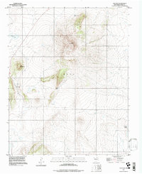
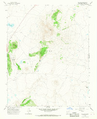 1966 Ojo Feliz1968 Print · USGSSettlement in the Mora County highlands is captured here in the mid-sixties, centered on the community of Ojo Feliz. Researchers can trace local genealogy and land use through landmarks like San Yasidro Ch, Casias Cem, and the high peak of Cerro Pelon.2 unique versions available
 - 1983 Map of Taos
 1983 Taos1983 Print · USGSNorthern New Mexico's high-country heritage is on full display in the early eighties, from the deep river canyons to the highest alpine peaks. Genealogists and historians can trace traditional land-grant settlements like Las Trampas, Truchas, and the historic Taos Pueblo.2 unique versions available
 - 1994 Map of Ojo Feliz, 1998 Print
 1994 Ojo Feliz1998 Print · USGSMora County ranching and settlement patterns are captured here in the mid-nineties, showing the rural landscape around Ojo Feliz. Genealogists and local historians can trace family sites at San Ysidro or locate the Casias Cem and Pelon Windmill.
 - 2010 Map of Ojo Feliz, 2010 Print
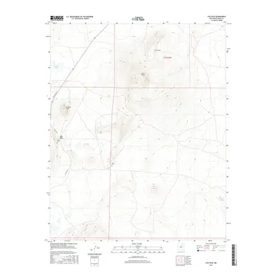
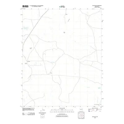 2010 Ojo Feliz2010 Print · USGSCovers Ojo Feliz, including Mora County, United States, and other nearby areas
 - 2013 Map of Ojo Feliz, 2013 Print
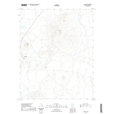
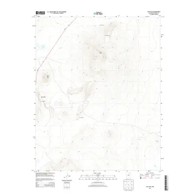 2013 Ojo Feliz2013 Print · USGSCovers Ojo Feliz, including Mora County, United States, and other nearby areas
 - 2017 Map of Ojo Feliz, 2017 Print
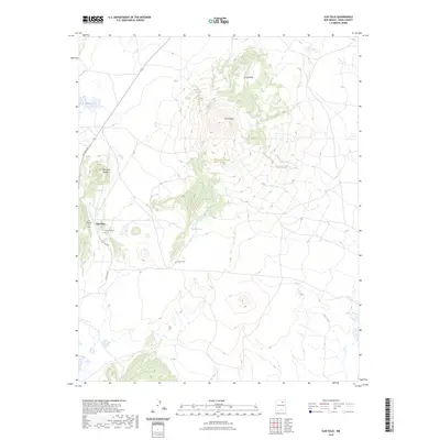
 2017 Ojo Feliz2017 Print · USGSCovers Ojo Feliz, including Mora County, United States, and other nearby areas
 - 2020 Map of Ojo Feliz, 2020 Print
 2020 Ojo Feliz2020 Print · USGSCovers Ojo Feliz, including Mora County, United States, and other nearby areas
 - 2023 Map of Ojo Feliz, 2023 Print
 2023 Ojo Feliz2023 Print · USGSThe high-country terrain of Mora County is documented here in the early twenty-first century, centered on the community of Ojo Feliz. Genealogists and historians can locate family burial sites at San Ysidro Cem and Casias Cem or trace the drainages of Wolf Creek.
End of results
Showing maps 1-10 of 10
Top cities near Ojo Feliz
Frequently asked questions
- What are the different types of historical maps available for Ojo Feliz?
- What is the oldest map of Ojo Feliz?
- Where can I purchase historical maps of Ojo Feliz for my home or office?
- Where can I download high-res historical maps of Ojo Feliz?
- Are there historical topographic maps available for Ojo Feliz?
- Is there historical aerial imagery available for Ojo Feliz?
- Where are historical maps of Ojo Feliz sourced from?