Old Maps of Bard, New Mexico for Hiking & Exploration
Hike through history with 8 historic maps of Bard. Explore old trails, ghost towns, and forgotten backroads — perfect for outdoor adventurers and local explorers.
- Rediscover forgotten places: Map out old mining camps, roads, and footpaths that no longer exist on modern maps.
- Layer with modern tools: Combine with LiDAR or satellite views to plan hikes through historical terrain.
- Made for exploration: Popular among hikers, overlanders, and local history lovers.
Use these maps to find adventure and explore the hidden past of Bard.
Bard, NM maps
(8)- 1954 Map of Tucumcari, 1965 Print
 1954 Tucumcari1965 Print · USGSThe high plains along the New Mexico and Texas border come alive in this mid-century survey, just as the regional highway network was maturing. Trace the historic route of U.S. 66 through Glenrio and San Jon or locate remote rail sidings like Rehm Station and Obar.2 unique versions available
 - 1958 Map of Tucumcari
 1958 Tucumcari1958 Print · USGSEastern New Mexico and the Texas Panhandle meet in this mid-century survey of the high plains ranching and rail corridor. Researchers can trace the path of Mother Road travelers through Tucumcari and Glenrio or locate remote rail stops like Nara Visa Station and Hartley Station.
 - 1968 Map of Bard, 1971 Print
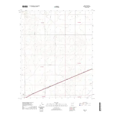
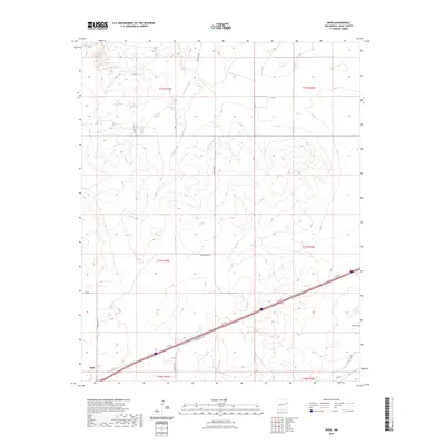
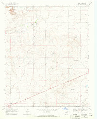 1968 Bard1971 Print · USGSQuay County ranching and transit corridors are captured here in the late sixties as the classic highway era reached its peak. Researchers can locate the Endee Cem and trace the paths of the C R I & P railroad and Route 66 past local landmarks like Salty Windmill.2 unique versions available
 - 2010 Map of Bard, 2010 Print
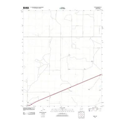 2010 Bard2010 Print · USGSCovers Bard, including Quay County, United States, and other nearby areas
 - 2013 Map of Bard, 2013 Print
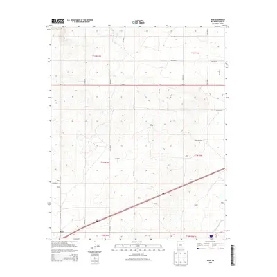 2013 Bard2013 Print · USGSCovers Bard, including Quay County, United States, and other nearby areas
 - 2017 Map of Bard, 2017 Print
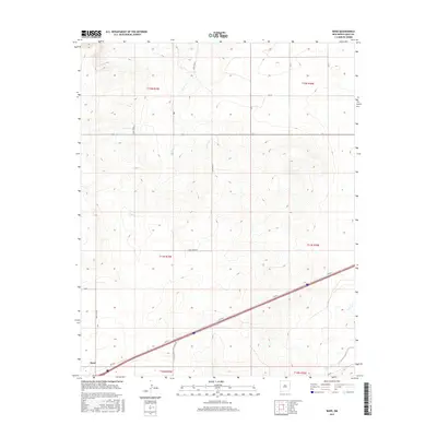 2017 Bard2017 Print · USGSCovers Bard, including Quay County, United States, and other nearby areas
 - 2020 Map of Bard, 2020 Print
 2020 Bard2020 Print · USGSCovers Bard, including Quay County, United States, and other nearby areas
 - 2023 Map of Bard, 2023 Print
 2023 Bard2023 Print · USGSThe rural expanse of Quay County comes into focus in this contemporary survey of the high plains. Researchers can locate the Endee Cem and the settlement at Bard, while tracing the historic path of Rte 66 alongside Trujillo Creek.
End of results
Showing maps 1-8 of 8
Top cities near Bard
Frequently asked questions
- What are the different types of historical maps available for Bard?
- What is the oldest map of Bard?
- Where can I purchase historical maps of Bard for my home or office?
- Where can I download high-res historical maps of Bard?
- Are there historical topographic maps available for Bard?
- Is there historical aerial imagery available for Bard?
- Where are historical maps of Bard sourced from?