Old Maps of Sand Springs, New Mexico for Metal Detecting
Plan your next treasure hunt with 9 historic maps of Sand Springs. Find old homesites, ghost towns, trails, and gathering spots that may be lost to time — perfect for identifying promising metal detecting locations.
- Locate forgotten sites: Uncover places like long-lost settlements, abandoned rail lines, or gathering spots.
- Plan better hunts: Use map overlays combined with LiDAR or satellite views to narrow in on historically rich areas.
- Made for detectorists: Thousands of hobbyists use these maps to discover relics, coins, and hidden history.
Use these historic maps to boost your research and find new opportunities beneath the surface of Sand Springs.
Sand Springs, NM maps
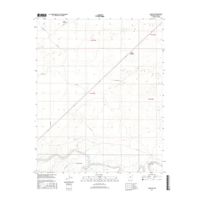
(9)- 1954 Map of Tucumcari, 1965 Print
 1954 Tucumcari1965 Print · USGSThe high plains along the New Mexico and Texas border come alive in this mid-century survey, just as the regional highway network was maturing. Trace the historic route of U.S. 66 through Glenrio and San Jon or locate remote rail sidings like Rehm Station and Obar.2 unique versions available
 - 1958 Map of Tucumcari
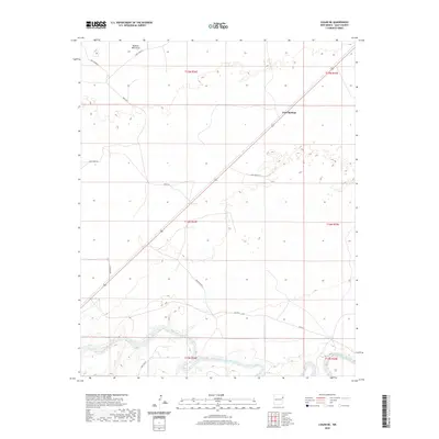
 1958 Tucumcari1958 Print · USGSEastern New Mexico and the Texas Panhandle meet in this mid-century survey of the high plains ranching and rail corridor. Researchers can trace the path of Mother Road travelers through Tucumcari and Glenrio or locate remote rail stops like Nara Visa Station and Hartley Station.
 - 1962 Map of Logan, 1966 Print
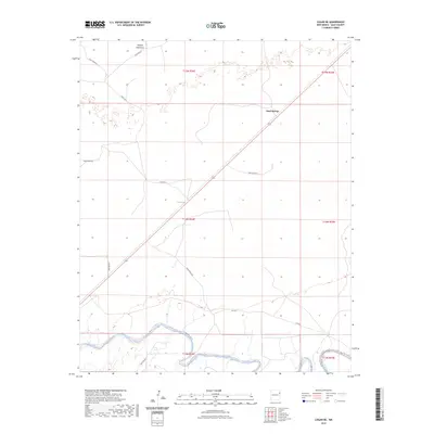
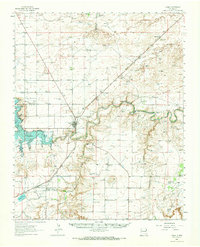 1962 Logan1966 Print · USGSQuay County ranching and rail life are documented here in the early sixties, centered on the Logan river crossing. Researchers can trace historic family holdings like Pyle Ranch and Martinez Springs or locate the Anniston Cem near the southern plains.
 - 1989 Map of Logan NE
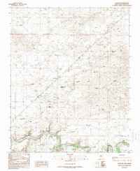 1989 Logan NE1989 Print · USGSIn the late twentieth century, this portion of Quay County remained a dedicated ranching landscape centered on the Canadian River. Researchers can trace old family ranching legacies through named features like Shoenail Ranch, Sand Springs, and the Blue Hole.
 - 2010 Map of Logan NE, 2010 Print
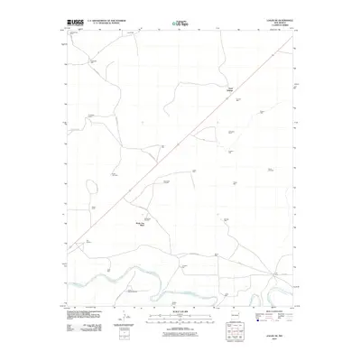 2010 Logan NE2010 Print · USGSCovers Sand Springs, including Bunk Clay Place, Quay County, and other nearby areas
 - 2013 Map of Logan NE, 2013 Print
 2013 Logan NE2013 Print · USGSCovers Sand Springs, including Bunk Clay Place, Quay County, and other nearby areas
 - 2017 Map of Logan NE, 2017 Print
 2017 Logan NE2017 Print · USGSCovers Sand Springs, including Bunk Clay Place, Quay County, and other nearby areas
 - 2020 Map of Logan NE, 2020 Print
 2020 Logan NE2020 Print · USGSCovers Sand Springs, including Bunk Clay Place, Quay County, and other nearby areas
 - 2023 Map of Logan NE, 2023 Print
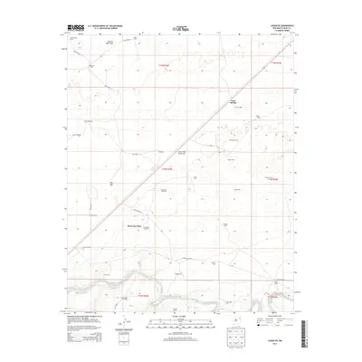
 2023 Logan NE2023 Print · USGSQuay County ranch land and the bends of the Canadian River are documented in this recent survey of eastern New Mexico. Genealogists and land researchers can trace property boundaries along Sand Springs and the rural network of Quay Road 85.
End of results
Showing maps 1-9 of 9
Top cities near Sand Springs
Frequently asked questions
- What are the different types of historical maps available for Sand Springs?
- What is the oldest map of Sand Springs?
- Where can I purchase historical maps of Sand Springs for my home or office?
- Where can I download high-res historical maps of Sand Springs?
- Are there historical topographic maps available for Sand Springs?
- Is there historical aerial imagery available for Sand Springs?
- Where are historical maps of Sand Springs sourced from?