Old Maps of Las Mochas, New Mexico for Academic Research
Study the evolution of Las Mochas with 10 high-resolution historic maps. Whether you're teaching, researching, or modeling changes in land use, these maps provide essential visual documentation of urban, environmental, and geographic change.
- Analyze long-term change: Track patterns in development, transportation, and natural features.
- Ideal for environmental or urban studies: Support academic projects with primary historical map data.
- Use in the classroom or lab: Educators and researchers rely on these maps to bring historical context to life.
These maps are a powerful tool for teaching, research, and visualizing how Las Mochas has changed over the decades.
Las Mochas, NM maps
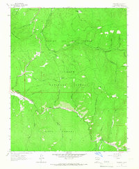
(10)- 1954 Map of Raton, 1963 Print
 1954 Raton1963 Print · USGSNorthern New Mexico's high-country and plains are documented here in the early sixties, showing the region's ranching and mining infrastructure. Trace the legacy of the Maxwell Land Grant, locate remote rural sites like Tafoya School, and follow the Atchison Topeka and Santa Fe Railway through the heart of Raton.3 unique versions available
 - 1958 Map of Raton
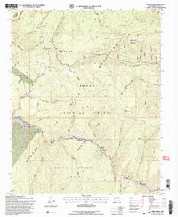
 1958 Raton1958 Print · USGSNorthern New Mexico and the Colorado borderlands are mapped here in the late fifties, showcasing a landscape of high peaks and historic land grants. Genealogists and historians can trace families across Picuris Pueblo, find old schoolhouses like Piedra Lumbre School, or follow the Atchison Topeka and Santa Fe rail line.3 unique versions available
 - 1964 Map of Tres Ritos, 1967 Print
 1964 Tres Ritos1967 Print · USGSHigh in the Carson National Forest during the mid-1960s, this area shows a landscape of Spanish land grants and emerging recreation. You can trace the rugged network of the Gallegos Trail, the settlement at Tres Ritos, and the early layout of the Sipapu Ski Area.2 unique versions available
 - 1983 Map of Taos
 1983 Taos1983 Print · USGSNorthern New Mexico's high-country heritage is on full display in the early eighties, from the deep river canyons to the highest alpine peaks. Genealogists and historians can trace traditional land-grant settlements like Las Trampas, Truchas, and the historic Taos Pueblo.2 unique versions available
 - 1995 Map of Tres Ritos, 1997 Print
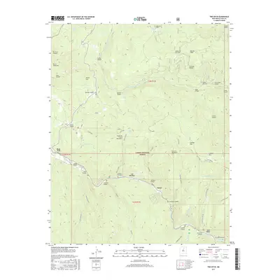
 1995 Tres Ritos1997 Print · USGSThe high alpine valleys of Taos County are captured here in the mid-1990s, showcasing a landscape of historic Spanish land grants and Forest Service outposts. Researchers can trace the winding Rio Pueblo to find Las Mochas, the Sipapu Ski Area, and Tres Ritos.
 - 2011 Map of Tres Ritos, 2011 Print
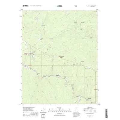
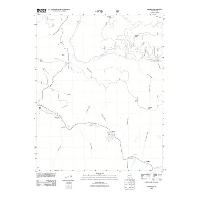 2011 Tres Ritos2011 Print · USGSCovers Las Mochas, including Tres Ritos, Rock Wall, and other nearby areas
 - 2013 Map of Tres Ritos, 2013 Print
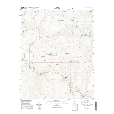 2013 Tres Ritos2013 Print · USGSCovers Las Mochas, including Tres Ritos, Rock Wall, and other nearby areas
 - 2017 Map of Tres Ritos, 2017 Print
 2017 Tres Ritos2017 Print · USGSCovers Las Mochas, including Tres Ritos, Rock Wall, and other nearby areas
 - 2020 Map of Tres Ritos, 2020 Print
 2020 Tres Ritos2020 Print · USGSCovers Las Mochas, including Tres Ritos, Rock Wall, and other nearby areas
 - 2023 Map of Tres Ritos, 2023 Print
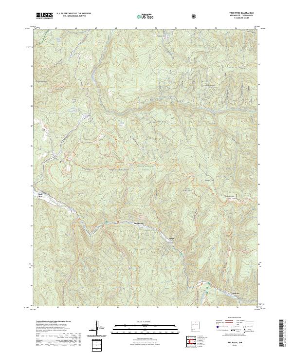 2023 Tres Ritos2023 Print · USGSTaos County in the early 2020s remains a landscape defined by its high mountain peaks and the river valleys that support its small settlements. Researchers can trace the network of forest trails and water sources between Tres Ritos, Sipapu, and the summits of Gallegos Peak.
End of results
Showing maps 1-10 of 10
Top cities near Las Mochas
Frequently asked questions
- What are the different types of historical maps available for Las Mochas?
- What is the oldest map of Las Mochas?
- Where can I purchase historical maps of Las Mochas for my home or office?
- Where can I download high-res historical maps of Las Mochas?
- Are there historical topographic maps available for Las Mochas?
- Is there historical aerial imagery available for Las Mochas?
- Where are historical maps of Las Mochas sourced from?