Old Maps of No Agua, New Mexico for Metal Detecting
Plan your next treasure hunt with 10 historic maps of No Agua. Find old homesites, ghost towns, trails, and gathering spots that may be lost to time — perfect for identifying promising metal detecting locations.
- Locate forgotten sites: Uncover places like long-lost settlements, abandoned rail lines, or gathering spots.
- Plan better hunts: Use map overlays combined with LiDAR or satellite views to narrow in on historically rich areas.
- Made for detectorists: Thousands of hobbyists use these maps to discover relics, coins, and hidden history.
Use these historic maps to boost your research and find new opportunities beneath the surface of No Agua.
No Agua, NM maps
(10)- 1954 Map of Raton, 1963 Print
 1954 Raton1963 Print · USGSNorthern New Mexico's high-country and plains are documented here in the early sixties, showing the region's ranching and mining infrastructure. Trace the legacy of the Maxwell Land Grant, locate remote rural sites like Tafoya School, and follow the Atchison Topeka and Santa Fe Railway through the heart of Raton.3 unique versions available
 - 1958 Map of Raton
 1958 Raton1958 Print · USGSNorthern New Mexico and the Colorado borderlands are mapped here in the late fifties, showcasing a landscape of high peaks and historic land grants. Genealogists and historians can trace families across Picuris Pueblo, find old schoolhouses like Piedra Lumbre School, or follow the Atchison Topeka and Santa Fe rail line.3 unique versions available
 - 1963 Map of Tres Piedras, 1967 Print
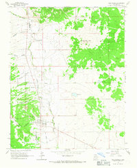 1963 Tres Piedras1967 Print · USGSNorthern New Mexico in the early sixties was a landscape of high-desert peaks and volcanic plateaus, marked here by the transition from open range to the Carson National Forest. Genealogists and historians can trace the Old Railroad Grade near the settlement of Tres Piedras and locate landmarks like Cissell Lake and No Agua Peaks.
 - 1982 Map of Wheeler Peak, 1983 Print
 1982 Wheeler Peak1983 Print · USGSNorthern New Mexico in the early eighties shows a high-altitude landscape of historic mining camps and massive land grants. Researchers can trace the Old Railroad Grade near Elizabethtown or locate remote sites like the French-Henry Mine and Vermejo Park.
 - 1995 Map of Tres Piedras, 1998 Print
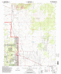 1995 Tres Piedras1998 Print · USGSTres Piedras and the surrounding Taos County highlands are captured here in the mid-1990s as the rail-driven era gives way to forest management. Genealogists and historians can trace the Old Railroad Grade past No Agua or locate the Tres Piedras Cem and local landmarks like Cerro Del Aire.
 - 2011 Map of Tres Piedras, 2011 Print
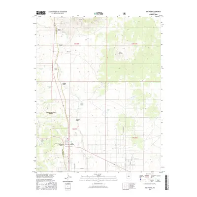
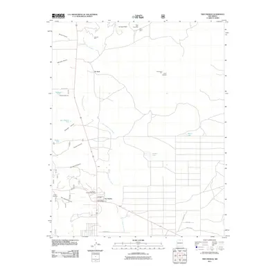 2011 Tres Piedras2011 Print · USGSCovers No Agua, including Tres Piedras, Rio Arriba County, and other nearby areas
 - 2013 Map of Tres Piedras, 2013 Print
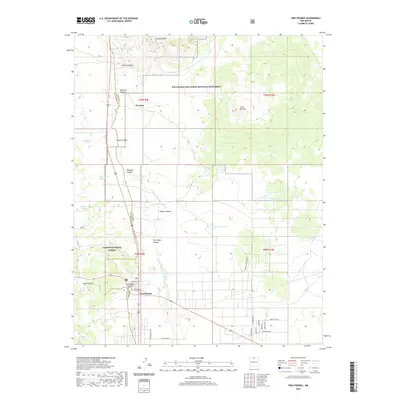
 2013 Tres Piedras2013 Print · USGSCovers No Agua, including Tres Piedras, Rio Arriba County, and other nearby areas
 - 2017 Map of Tres Piedras, 2017 Print
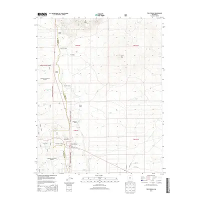
 2017 Tres Piedras2017 Print · USGSCovers No Agua, including Tres Piedras, Rio Arriba County, and other nearby areas
 - 2020 Map of Tres Piedras, 2020 Print
 2020 Tres Piedras2020 Print · USGSCovers No Agua, including Tres Piedras, Rio Arriba County, and other nearby areas
 - 2023 Map of Tres Piedras, 2023 Print
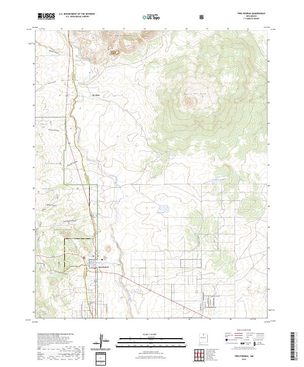 2023 Tres Piedras2023 Print · USGSTaos County’s high-desert landscape comes into sharp focus in this recent survey of the plateau and forest edge. Researchers can trace local heritage at the Tres Piedras Cem or explore the geography of No Agua Peaks and Cerro del Aire.
End of results
Showing maps 1-10 of 10
Frequently asked questions
- What are the different types of historical maps available for No Agua?
- What is the oldest map of No Agua?
- Where can I purchase historical maps of No Agua for my home or office?
- Where can I download high-res historical maps of No Agua?
- Are there historical topographic maps available for No Agua?
- Is there historical aerial imagery available for No Agua?
- Where are historical maps of No Agua sourced from?