Old Maps of Taos Ski Valley, New Mexico
Explore 10 old maps of Taos Ski Valley, spanning from 1954 to today. These high-resolution historic maps reveal how streets, neighborhoods, landmarks, and natural features evolved over time — perfect for genealogy, metal detecting, research, and local history exploration.
What you can do with these maps:
- See how Taos Ski Valley changed over time: Compare historical maps to modern-day views to trace roads, homesites, rail lines & more.
- View detailed metadata: Each map includes creators, publishers, year, scale, and archive source.
- Overlay maps with satellite & LiDAR: Visualize the past alongside modern tools to explore terrain & human change.
- Trusted historical sources: Maps sourced from the USGS, Library of Congress, and other archives.
- Access maps your way: View online, download high-res files, or order prints for personal or research use.
Start exploring old maps of Taos Ski Valley to uncover forgotten places, hidden landmarks, and the deep history beneath your feet.
Taos Ski Valley, NM maps
(10)- 1954 Map of Raton, 1963 Print
 1954 Raton1963 Print · USGSNorthern New Mexico's high-country and plains are documented here in the early sixties, showing the region's ranching and mining infrastructure. Trace the legacy of the Maxwell Land Grant, locate remote rural sites like Tafoya School, and follow the Atchison Topeka and Santa Fe Railway through the heart of Raton.3 unique versions available
 - 1958 Map of Raton
 1958 Raton1958 Print · USGSNorthern New Mexico and the Colorado borderlands are mapped here in the late fifties, showcasing a landscape of high peaks and historic land grants. Genealogists and historians can trace families across Picuris Pueblo, find old schoolhouses like Piedra Lumbre School, or follow the Atchison Topeka and Santa Fe rail line.3 unique versions available
 - 1963 Map of Wheeler Peak, 1967 Print
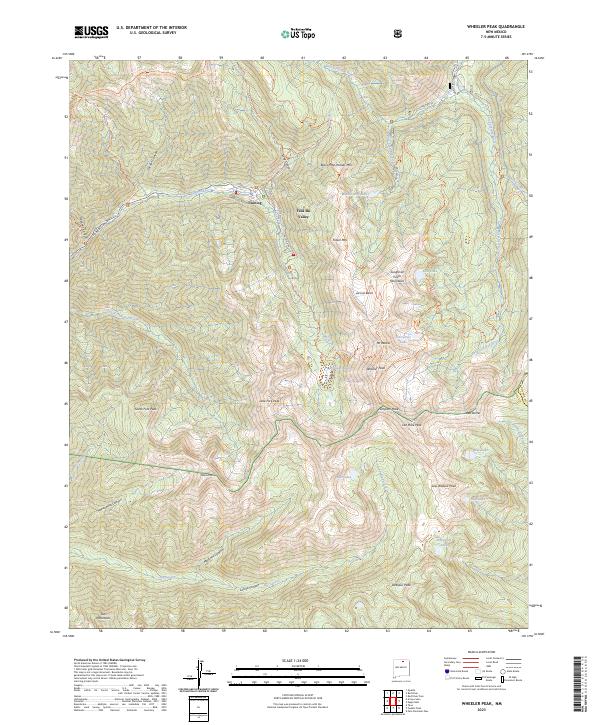
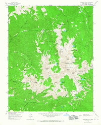 1963 Wheeler Peak1967 Print · USGSThe Sangre de Cristo Mountains rise to their highest New Mexico point in the early 1960s, revealing a landscape of high-altitude mining and wilderness. Trace the old mining operations at Twining and the Bull of the Woods Pasture Mines or locate remote outposts like Ditch Cabin.2 unique versions available
 - 1982 Map of Wheeler Peak, 1983 Print
 1982 Wheeler Peak1983 Print · USGSNorthern New Mexico in the early eighties shows a high-altitude landscape of historic mining camps and massive land grants. Researchers can trace the Old Railroad Grade near Elizabethtown or locate remote sites like the French-Henry Mine and Vermejo Park.
 - 1995 Map of Wheeler Peak, 1998 Print
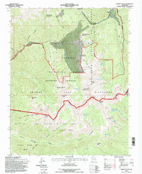 1995 Wheeler Peak1998 Print · USGSThe high Sangre de Cristo range reaches its summit in the mid-1990s as alpine recreation and ancient land grants intersect. Researchers can trace the sprawling boundaries of the Taos Pueblo Grant and locate early mining sites like the Bull-of-the-Woods Mines near Twining.
 - 2011 Map of Wheeler Peak, 2011 Print
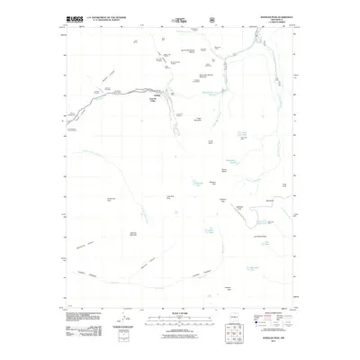 2011 Wheeler Peak2011 Print · USGSCovers Taos Ski Valley, including Taos County, Colfax County, and other nearby areas
 - 2013 Map of Wheeler Peak, 2013 Print
 2013 Wheeler Peak2013 Print · USGSCovers Taos Ski Valley, including Taos County, Colfax County, and other nearby areas
 - 2017 Map of Wheeler Peak, 2017 Print
 2017 Wheeler Peak2017 Print · USGSCovers Taos Ski Valley, including Taos County, Colfax County, and other nearby areas
 - 2020 Map of Wheeler Peak, 2020 Print
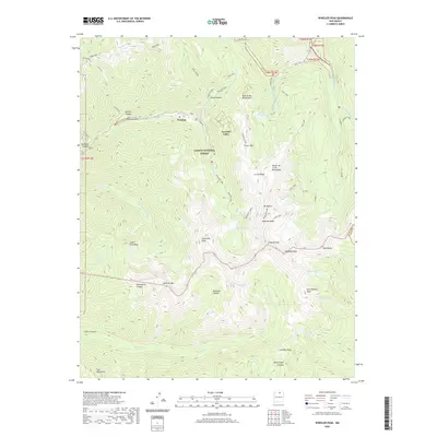 2020 Wheeler Peak2020 Print · USGSCovers Taos Ski Valley, including Taos County, Colfax County, and other nearby areas
 - 2023 Map of Wheeler Peak, 2023 Print
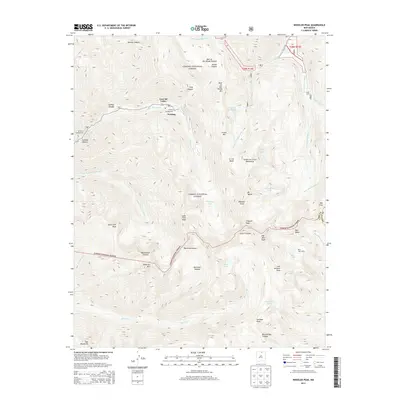
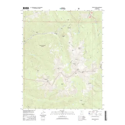
 2023 Wheeler Peak2023 Print · USGSThe northern New Mexico high country is mapped here in the modern era, centering on the state's highest elevations and the Taos Ski Valley resort. Trace the alpine trail systems and remote peaks like Wheeler Peak, Mt Walter, and the waters of Williams Lake.
End of results
Showing maps 1-10 of 10
Top cities near Taos Ski Valley
- Taos historical maps
- Questa historical maps
- Angel Fire historical maps
- Red River historical maps
- Eagle Nest historical maps
Frequently asked questions
- What are the different types of historical maps available for Taos Ski Valley?
- What is the oldest map of Taos Ski Valley?
- Where can I purchase historical maps of Taos Ski Valley for my home or office?
- Where can I download high-res historical maps of Taos Ski Valley?
- Are there historical topographic maps available for Taos Ski Valley?
- Is there historical aerial imagery available for Taos Ski Valley?
- Where are historical maps of Taos Ski Valley sourced from?