Old Maps of Ventero, New Mexico for Hiking & Exploration
Hike through history with 9 historic maps of Ventero. Explore old trails, ghost towns, and forgotten backroads — perfect for outdoor adventurers and local explorers.
- Rediscover forgotten places: Map out old mining camps, roads, and footpaths that no longer exist on modern maps.
- Layer with modern tools: Combine with LiDAR or satellite views to plan hikes through historical terrain.
- Made for exploration: Popular among hikers, overlanders, and local history lovers.
Use these maps to find adventure and explore the hidden past of Ventero.
Ventero, NM maps
(9)- 1954 Map of Raton, 1963 Print
 1954 Raton1963 Print · USGSNorthern New Mexico's high-country and plains are documented here in the early sixties, showing the region's ranching and mining infrastructure. Trace the legacy of the Maxwell Land Grant, locate remote rural sites like Tafoya School, and follow the Atchison Topeka and Santa Fe Railway through the heart of Raton.3 unique versions available
 - 1958 Map of Raton
 1958 Raton1958 Print · USGSNorthern New Mexico and the Colorado borderlands are mapped here in the late fifties, showcasing a landscape of high peaks and historic land grants. Genealogists and historians can trace families across Picuris Pueblo, find old schoolhouses like Piedra Lumbre School, or follow the Atchison Topeka and Santa Fe rail line.3 unique versions available
 - 1963 Map of Amalia, 1967 Print
 1963 Amalia1967 Print · USGSTaos County’s high mountain valleys are captured in the early sixties as they transition into the modern era. Genealogists and local historians can trace the community life of the region through landmarks like Santo Niño Ch, Amalia Sch, and the isolated Mine sites near Ballejos Creek.2 unique versions available
 - 1982 Map of Wheeler Peak, 1983 Print
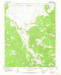
 1982 Wheeler Peak1983 Print · USGSNorthern New Mexico in the early eighties shows a high-altitude landscape of historic mining camps and massive land grants. Researchers can trace the Old Railroad Grade near Elizabethtown or locate remote sites like the French-Henry Mine and Vermejo Park.
 - 2010 Map of Amalia, 2010 Print
 2010 Amalia2010 Print · USGSCovers Ventero, including Amalia, Taos County, and other nearby areas
 - 2013 Map of Amalia, 2013 Print
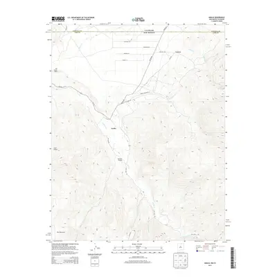 2013 Amalia2013 Print · USGSCovers Ventero, including Amalia, Taos County, and other nearby areas
 - 2017 Map of Amalia, 2017 Print
 2017 Amalia2017 Print · USGSCovers Ventero, including Amalia, Taos County, and other nearby areas
 - 2020 Map of Amalia, 2020 Print
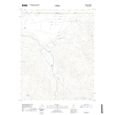 2020 Amalia2020 Print · USGSCovers Ventero, including Amalia, Taos County, and other nearby areas
 - 2023 Map of Amalia, 2023 Print
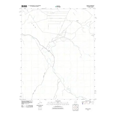
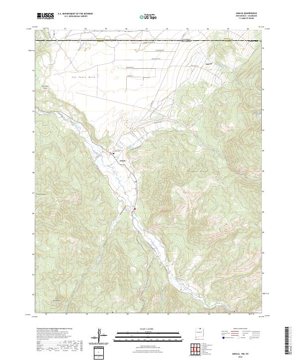 2023 Amalia2023 Print · USGSThe high border country of northern New Mexico is captured here in the early twenty-first century, showing the isolated ranching and timber landscapes of the Culebra Range. Genealogists and local researchers can trace family sites near Amalia, locate the Amalia Cem, and follow the winding path of Costilla Creek.
End of results
Showing maps 1-9 of 9
Top cities near Ventero
Frequently asked questions
- What are the different types of historical maps available for Ventero?
- What is the oldest map of Ventero?
- Where can I purchase historical maps of Ventero for my home or office?
- Where can I download high-res historical maps of Ventero?
- Are there historical topographic maps available for Ventero?
- Is there historical aerial imagery available for Ventero?
- Where are historical maps of Ventero sourced from?