Old Maps of Stockton Place, New Mexico
Explore 10 old maps of Stockton Place, spanning from 1954 to today. These high-resolution historic maps reveal how streets, neighborhoods, landmarks, and natural features evolved over time — perfect for genealogy, metal detecting, research, and local history exploration.
What you can do with these maps:
- See how Stockton Place changed over time: Compare historical maps to modern-day views to trace roads, homesites, rail lines & more.
- View detailed metadata: Each map includes creators, publishers, year, scale, and archive source.
- Overlay maps with satellite & LiDAR: Visualize the past alongside modern tools to explore terrain & human change.
- Trusted historical sources: Maps sourced from the USGS, Library of Congress, and other archives.
- Access maps your way: View online, download high-res files, or order prints for personal or research use.
Start exploring old maps of Stockton Place to uncover forgotten places, hidden landmarks, and the deep history beneath your feet.
Stockton Place, NM maps
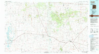
(10)- 1954 Map of Fort Sumner, 1964 Print
 1954 Fort Sumner1964 Print · USGSEast-central New Mexico's ranching and rail heartland is captured here in the mid-1950s, centered on the strategic junctions of the high plains. Researchers can trace the development of early highway networks and rail towns like Vaughn, Fort Sumner, and the copper operations at Guadalupe Mine.3 unique versions available
 - 1958 Map of Fort Sumner
 1958 Fort Sumner1958 Print · USGSEast-central New Mexico in the mid-fifties is captured here as a sprawling landscape of high mesas and cattle ranching. Researchers can trace the convergence of the Southern Pacific railroad at Vaughn and locate family landmarks like Borica School or Marquez Ranch.
 - 1960 Map of Lobo Hill, 1963 Print
 1960 Lobo Hill1963 Print · USGSTorrance County ranching life in the early 1960s is captured here through a network of family homesteads and desert water draws. Researchers can locate specific legacy sites like the Lamb Homestead, Kincheloe Homestead, and Price Ranch.
 - 1984 Map of Vaughn, 1992 Print
 1984 Vaughn1992 Print · USGSCentral New Mexico’s high plains are captured here in the mid-1980s, revealing a landscape shaped by transcontinental rail and highway travel. Trace the paths of the Atchison Topeka and Santa Fe through settlements like Encino, Vaughn, and Milagro.
 - 1990 Map of Lobo Hill SE
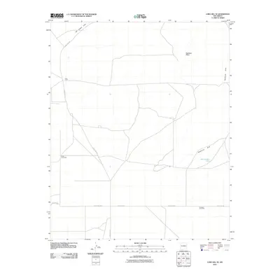
 1990 Lobo Hill SE1990 Print · USGSTorrance County ranching and water infrastructure are documented here during the late twentieth century as the region balanced traditional land use with modern utilities. Researchers can trace family-named sites and industrial markers including Dean Ranch, Allan Well, and local Gravel Pits.
 - 2010 Map of Lobo Hill SE, 2010 Print
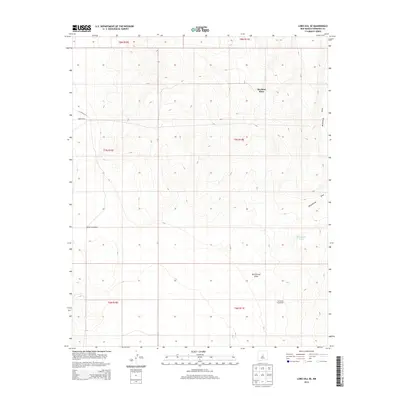
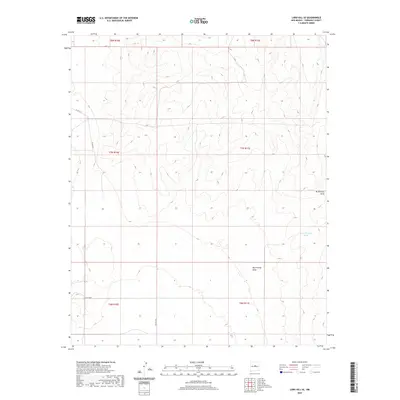
 2010 Lobo Hill SE2010 Print · USGSCovers Stockton Place, including Torrance County, United States, and other nearby areas
 - 2013 Map of Lobo Hill SE, 2013 Print
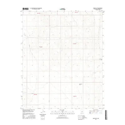
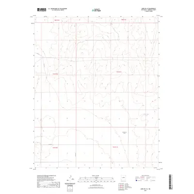
 2013 Lobo Hill SE2013 Print · USGSCovers Stockton Place, including Torrance County, United States, and other nearby areas
 - 2017 Map of Lobo Hill SE, 2017 Print
 2017 Lobo Hill SE2017 Print · USGSCovers Stockton Place, including Torrance County, United States, and other nearby areas
 - 2020 Map of Lobo Hill SE, 2020 Print
 2020 Lobo Hill SE2020 Print · USGSCovers Stockton Place, including Torrance County, United States, and other nearby areas
 - 2023 Map of Lobo Hill SE, 2023 Print
 2023 Lobo Hill SE2023 Print · USGSTorrance County, New Mexico, appears here as a land of open ranching country and high-desert drainages in the early twenty-first century. Researchers can trace land boundaries along McGillivray Draw or locate water resources like the West Douglas Tanks.
End of results
Showing maps 1-10 of 10
Top cities near Stockton Place
Frequently asked questions
- What are the different types of historical maps available for Stockton Place?
- What is the oldest map of Stockton Place?
- Where can I purchase historical maps of Stockton Place for my home or office?
- Where can I download high-res historical maps of Stockton Place?
- Are there historical topographic maps available for Stockton Place?
- Is there historical aerial imagery available for Stockton Place?
- Where are historical maps of Stockton Place sourced from?