Old Maps of Estancia, New Mexico
Explore 29 old maps of Estancia, spanning from 1917 to today. These high-resolution historic maps reveal how streets, neighborhoods, landmarks, and natural features evolved over time — perfect for genealogy, metal detecting, research, and local history exploration.
What you can do with these maps:
- See how Estancia changed over time: Compare historical maps to modern-day views to trace roads, homesites, rail lines & more.
- View detailed metadata: Each map includes creators, publishers, year, scale, and archive source.
- Overlay maps with satellite & LiDAR: Visualize the past alongside modern tools to explore terrain & human change.
- Trusted historical sources: Maps sourced from the USGS, Library of Congress, and other archives.
- Access maps your way: View online, download high-res files, or order prints for personal or research use.
Start exploring old maps of Estancia to uncover forgotten places, hidden landmarks, and the deep history beneath your feet.
Estancia, NM maps
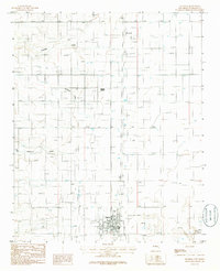
(29)- 1917 Map of Estancia
 1917 Estancia1917 Print · USGSThe Estancia Valley and Manzano foothills come alive in this Great War-era survey, showing a landscape defined by massive land grants and new rail lines. Trace family roots and vanished ranch sites across the Manzano Grant or locate early buildings in Mountainair, Willard, and Chilili.
 - 1954 Map of Fort Sumner, 1964 Print
 1954 Fort Sumner1964 Print · USGSEast-central New Mexico's ranching and rail heartland is captured here in the mid-1950s, centered on the strategic junctions of the high plains. Researchers can trace the development of early highway networks and rail towns like Vaughn, Fort Sumner, and the copper operations at Guadalupe Mine.3 unique versions available
 - 1954 Map of Socorro, 1972 Print
 1954 Socorro1972 Print · USGSMid-century New Mexico comes into focus as the Rio Grande valley and the surrounding high desert undergo post-war growth. Genealogists and historians can trace old mountain settlements like Tajique and Punta de Agua or locate remote sites like the Torrance Mine.2 unique versions available
 - 1956 Map of Estancia, 1958 Print
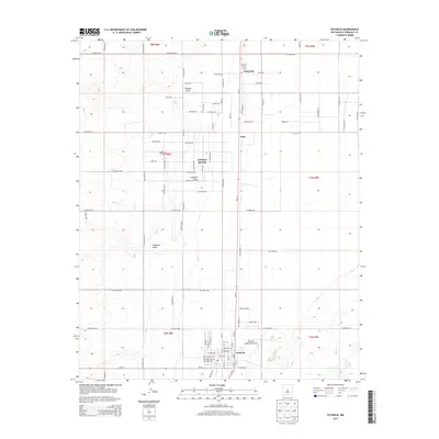
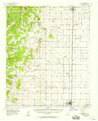 1956 Estancia1958 Print · USGSThe Estancia Valley in the mid-1950s was a landscape of remote ranches and high-altitude basins defined by the Atchison Topeka and Santa Fe rail line. Researchers can locate family homesteads like Hornsby Ranch, find the Garland Cem, or trace the old roads through Chilili.2 unique versions available
 - 1956 Map of Mountainair, 1958 Print
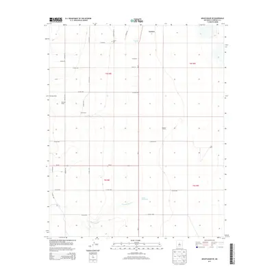
 1956 Mountainair1958 Print · USGSTorrance County ranching and rail infrastructure are on full display in the mid-fifties, centered on the high valley near Mountainair. Genealogists can trace family holdings from the L K Markel Ranch to Broncho and locate sites like Ewing Sch.2 unique versions available
 - 1958 Map of Socorro
 1958 Socorro1958 Print · USGSNew Mexico's high desert during the late fifties reveals a landscape of massive land grants and remote mining outposts. Researchers can trace the path of the Atchison Topeka and Santa Fe railroad as it connects Socorro and Belen to industrial sites like the Manganese Mill.
 - 1958 Map of Fort Sumner
 1958 Fort Sumner1958 Print · USGSEast-central New Mexico in the mid-fifties is captured here as a sprawling landscape of high mesas and cattle ranching. Researchers can trace the convergence of the Southern Pacific railroad at Vaughn and locate family landmarks like Borica School or Marquez Ranch.
 - 1960 Map of Lobo Hill, 1963 Print
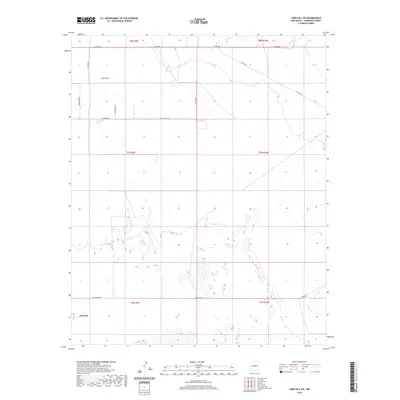
 1960 Lobo Hill1963 Print · USGSTorrance County ranching life in the early 1960s is captured here through a network of family homesteads and desert water draws. Researchers can locate specific legacy sites like the Lamb Homestead, Kincheloe Homestead, and Price Ranch.
 - 1962 Map of Socorro
 1962 Socorro1962 Print · USGSCentral New Mexico comes alive in the early sixties as the rail-and-river corridor of the Rio Grande connects historic pueblos and ranching towns. Local historians can trace the route of the Atchison Topeka and Santa Fe through Belen or locate the Torrance Mine near Mountainair.
 - 1979 Map of Belen
 1979 Belen1979 Print · USGSThe Rio Grande Valley south of Albuquerque in the late seventies reveals a landscape of historic land grants and modern subdivisions. Trace the rail-and-river corridor through Belen and Isleta Pueblo, or find high-elevation landmarks in Cibola National Forest.2 unique versions available
 - 1984 Map of Vaughn, 1992 Print
 1984 Vaughn1992 Print · USGSCentral New Mexico’s high plains are captured here in the mid-1980s, revealing a landscape shaped by transcontinental rail and highway travel. Trace the paths of the Atchison Topeka and Santa Fe through settlements like Encino, Vaughn, and Milagro.
 - 1986 Map of Mountainair NE
 1986 Mountainair NE1986 Print · USGSThe Estancia Basin of central New Mexico is captured here in the mid-1980s as a landscape of arid ranching and old infrastructure. Genealogists and historians can trace an Old R.R. Grade, locate a small local Cem., and follow the seasonal path of Torreon Draw.
 - 1986 Map of Estancia
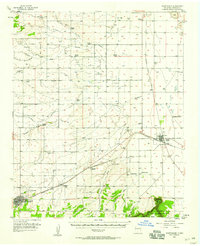
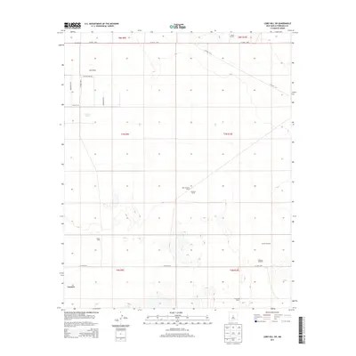
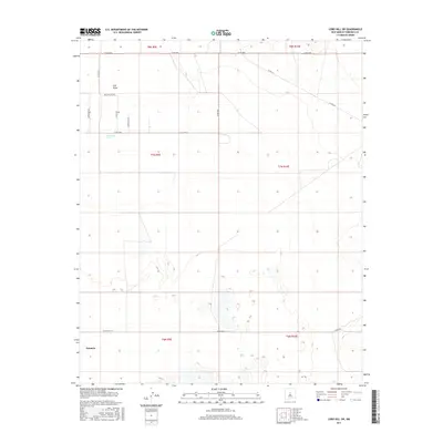
 1986 Estancia1986 Print · USGSThe Estancia Valley in the mid-1980s reveals a high-desert landscape defined by its ranching water-works and early rail infrastructure. Researchers can trace the path of the Railroad Grade through Mc Intosh or locate the rural Cem and the historic Antelope Springs.
 - 1990 Map of Lobo Hill SW
 1990 Lobo Hill SW1990 Print · USGSTorrance County ranching and water management are at the forefront of this late-century survey of the New Mexico basin. Researchers can trace land use through named landmarks like Sprule Windmill, Childress Well, and the shores of Laguna del Perro.
 - 2010 Map of Mountainair NE, 2010 Print
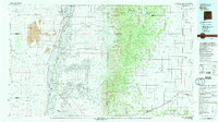
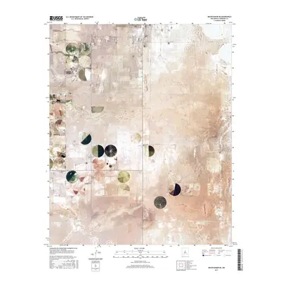
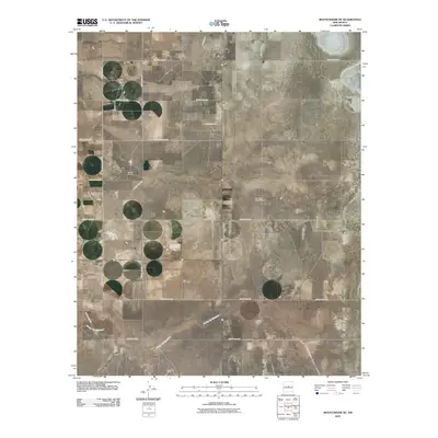 2010 Mountainair NE2010 Print · USGSCovers Estancia, including Torrance County, United States, and other nearby areas
 - 2010 Map of Lobo Hill SW, 2010 Print
 2010 Lobo Hill SW2010 Print · USGSCovers Estancia, including Torrance County, United States, and other nearby areas
 - 2011 Map of Estancia, 2011 Print
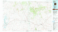
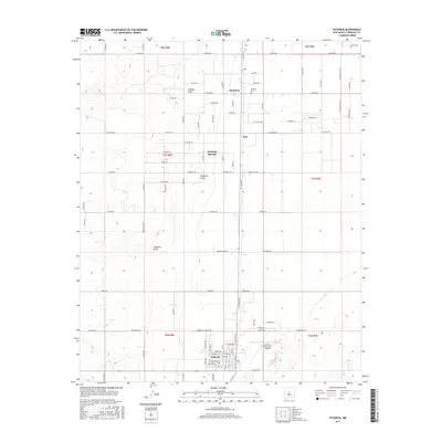
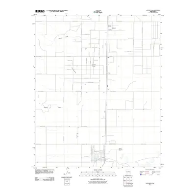 2011 Estancia2011 Print · USGSCovers Estancia, including Antelope Springs, Witt, and other nearby areas
 - 2013 Map of Lobo Hill SW, 2013 Print
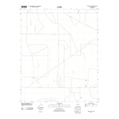
 2013 Lobo Hill SW2013 Print · USGSCovers Estancia, including Torrance County, United States, and other nearby areas
 - 2013 Map of Mountainair NE, 2013 Print
 2013 Mountainair NE2013 Print · USGSCovers Estancia, including Torrance County, United States, and other nearby areas
 - 2013 Map of Estancia, 2013 Print
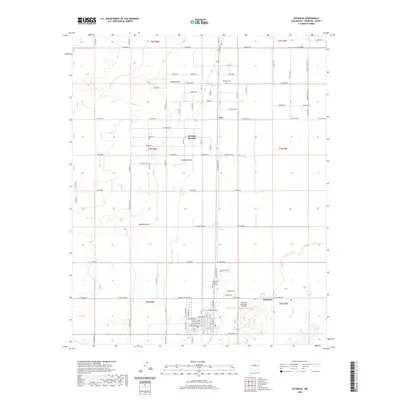
 2013 Estancia2013 Print · USGSCovers Estancia, including Antelope Springs, Witt, and other nearby areas
 - 2017 Map of Lobo Hill SW, 2017 Print
 2017 Lobo Hill SW2017 Print · USGSCovers Estancia, including Torrance County, United States, and other nearby areas
 - 2017 Map of Estancia, 2017 Print
 2017 Estancia2017 Print · USGSCovers Estancia, including Antelope Springs, Witt, and other nearby areas
 - 2017 Map of Mountainair NE, 2017 Print
 2017 Mountainair NE2017 Print · USGSCovers Estancia, including Torrance County, United States, and other nearby areas
 - 2020 Map of Estancia, 2020 Print
 2020 Estancia2020 Print · USGSCovers Estancia, including Antelope Springs, Witt, and other nearby areas
 - 2020 Map of Lobo Hill SW, 2020 Print
 2020 Lobo Hill SW2020 Print · USGSCovers Estancia, including Torrance County, United States, and other nearby areas
Showing maps 1-25 of 29
Top cities near Estancia
Frequently asked questions
- What are the different types of historical maps available for Estancia?
- What is the oldest map of Estancia?
- Where can I purchase historical maps of Estancia for my home or office?
- Where can I download high-res historical maps of Estancia?
- Are there historical topographic maps available for Estancia?
- Is there historical aerial imagery available for Estancia?
- Where are historical maps of Estancia sourced from?