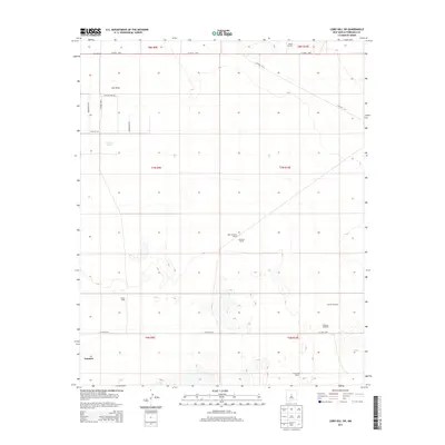
2013 Map of Lobo Hill SW
USGS Topo · Published 2013About this map
The town of Estancia sits in the southwestern corner of this survey, marking a pocket of development in the Estancia Valley. The landscape is defined by the ephemeral waters of Salt Draw and the distinct Cieneguita Spring, which have long influenced the placement of homesteads and grazing operations. Several named ranches appear across the grid, including Ranch Huntley to the north and Berkshire Ranch to the south, illustrating the cattle-ranching heritage that persists in this part of Torrance County.
Find a feature on this map
25 named features on this map. Tap any name to fly to it.
Don’t see what you’re looking for? This feature index may not catch every label — zoom into the map to look around manually.
Map Details
Editions of this 2013 Lobo Hill SW Map
This is the sole edition of this map. No revisions or reprints were ever made.
Other maps of this area

1917 · Estancia
USGS Topo · 1:125,000

1954 · Fort Sumner
USGS Topo · 1:250,000

1954 · Socorro
USGS Topo · 1:250,000

1956 · Estancia
USGS Topo · 1:62,500

1956 · Mountainair
USGS Topo · 1:62,500

1958 · Socorro
USGS Topo · 1:250,000

1958 · Fort Sumner
USGS Topo · 1:250,000

1960 · Lobo Hill
USGS Topo · 1:62,500

1962 · Socorro
USGS Topo · 1:250,000

1978 · Laguna Del Perro North
USGS Topo · 1:24,000