
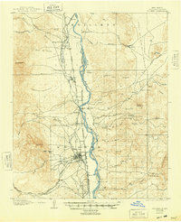
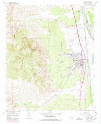
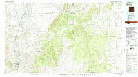
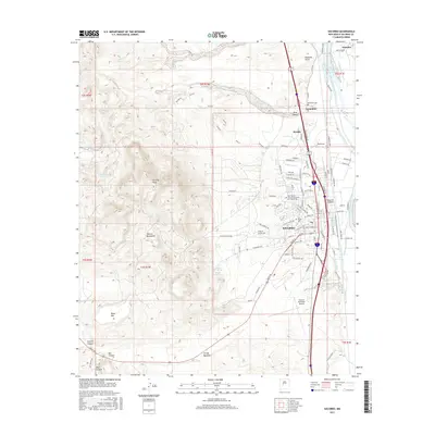
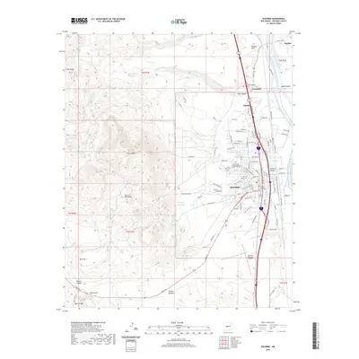
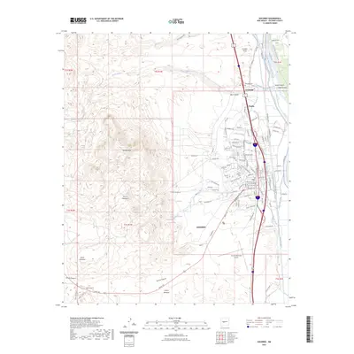
1962 Map of Socorro
USGS Topo · Published 1962About this map
The Rio Grande valley serves as the central corridor for this mid-century New Mexican landscape, anchoring a string of agricultural and transit hubs from Isleta and Los Lunas down to Socorro. The Atchison Topeka and Santa Fe railroad traces this river path, supporting a network of small settlements like Lemitar, Polvadera, and San Acacia. To the west, the topography shifts dramatically toward the high country of the Datil Mountains and Cebolleta Mesa, where isolated outposts like Pie Town and Datil mark the transition from river valley to the rugged interior. The map documents significant cultural and administrative boundaries, including the Acoma Indian Reservation and the sprawling Cibola National Forest. To the east, the Estancia basin and towns like Mountainair are shown near the Torrance Mine, illustrating the regional mix of ranching, mining, and timber that defined the central New Mexico economy during this era.
Find a feature on this map
110 named features on this map. Tap any name to fly to it.
Don’t see what you’re looking for? This feature index may not catch every label — zoom into the map to look around manually.
Map Details
Editions of this 1962 Socorro Map
This is the sole edition of this map. No revisions or reprints were ever made.
Historical Maps of Albuquerque Through Time
13 maps found
1906 Socorro
Socorro County, NM
1954 Socorro
Socorro County, NM

1958 Socorro
Socorro County, NM
1959 Socorro
Socorro County, NM
1959 Socorro
Socorro County, NM
1962 Socorro
Socorro County, NM
1979 Socorro
Socorro County, NM
1979 Socorro
Socorro County, NM
2010 Socorro
Socorro County, NM
2013 Socorro
Socorro County, NM
2017 Socorro
Socorro County, NM
2020 Socorro
Socorro County, NM
2023 Socorro
Socorro County, NM