
1894 Map of Lamy
USGS Topo · Published 1894About this map
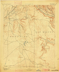
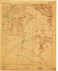
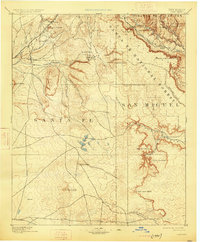
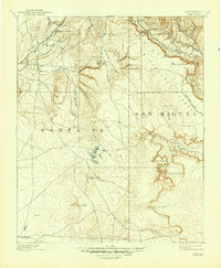
The Atchison Topeka and Santa Fe RR dictates the settlement pattern across this high-altitude landscape in the final years of the territorial era. Following the natural curves of the terrain, the rail line links small stations and outposts like Lamy, Rowe, and Sands, providing a vital lifeline between the drainage of Rito Galisteo and the higher eastern mesas. The map documents a landscape of transition where traditional New Mexican land uses meet the expanding industrial reach of the railroad. Isolated locations such as Gomez Ranch and La Mula are shown alongside significant natural landmarks like El Cuervo Butte and the deep cuts of Canyon Blanco. The density of Spanish-named water sources, such as Ojo de la Vaca and Ojo Abajeños, highlights the critical importance of reliable springs for cattle ranching and community survival in this semi-arid environment before the turn of the century.
Find a feature on this map
38 named features on this map. Tap any name to fly to it.
Don’t see what you’re looking for? This feature index may not catch every label — zoom into the map to look around manually.
Map Details
Editions of this 1894 Lamy Map
5 editions found
Other maps of this area

1889 · Las Vegas
USGS Topo · 1:125,000

1889 · Santa Fe
USGS Topo · 1:125,000

1890 · Bernal
USGS Topo · 1:125,000

1891 · Bernal
USGS Topo · 1:125,000

1891 · Las Vegas
USGS Topo · 1:125,000

1892 · San Pedro
USGS Topo · 1:125,000

1892 · Santa Clara
USGS Topo · 1:125,000

1893 · Las Vegas
USGS Topo · 1:125,000

1894 · Santa Fe
USGS Topo · 1:125,000

1894 · Bernal
USGS Topo · 1:125,000