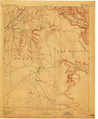
1894 Map of Lamy
USGS Topo · Published 1911About this map
The Atchison Topeka & Santa Fe RR dictates the settlement pattern across this high-altitude landscape, following the winding course of the Rio Pecos through the northeastern corner of the sheet. At the junction of this major rail line, the village of Lamy serves as a critical waypoint, while the older settlement of Galisteo sits to the south along the Arroyo San Cristobal. This 1890 survey captures a region defined by its seasonal watercourses and livestock operations, evidenced by family-named sites like Gomez Ranch and the numerous springs, or ojos, such as Ojo de la Vaca and Ojo Hediondo. The terrain transitions from the high peaks of Cerro Colorado and Cerro del Oso into the deep cuts of Canyon Blanco and Canyon Ancho, illustrating the topographic challenges faced by early ranchers and railroad engineers in the Santa Fe and San Miguel county borderlands.
Find a feature on this map
48 named features on this map. Tap any name to fly to it.
Don’t see what you’re looking for? This feature index may not catch every label — zoom into the map to look around manually.
Map Details
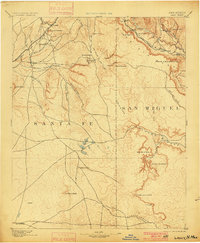
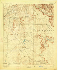
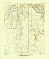
Editions of this 1894 Lamy Map
5 editions found

Other maps of this area

1889 · Las Vegas
USGS Topo · 1:125,000

1889 · Santa Fe
USGS Topo · 1:125,000

1890 · Bernal
USGS Topo · 1:125,000

1891 · Bernal
USGS Topo · 1:125,000

1891 · Las Vegas
USGS Topo · 1:125,000

1892 · San Pedro
USGS Topo · 1:125,000

1892 · Santa Clara
USGS Topo · 1:125,000

1893 · Las Vegas
USGS Topo · 1:125,000

1894 · Santa Fe
USGS Topo · 1:125,000

1894 · Bernal
USGS Topo · 1:125,000