
1893 Map of Albuquerque
USGS Topo · Published 1893About this map
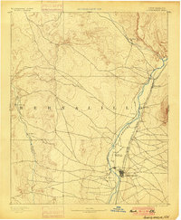
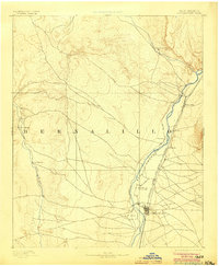
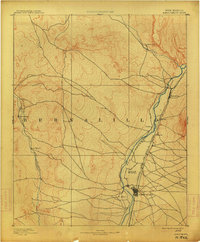
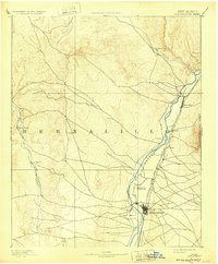
Albuquerque and the surrounding river valley are captured here just five years after the initial 1888 survey, showcasing a landscape defined by traditional Spanish-named settlements and the arrival of modern industry. The Atchison Topeka and Santa Fe Railroad runs parallel to the Rio Grande, anchoring the growth of the region. This transportation corridor connects established hubs like Bernalillo and Alameda with the burgeoning city center. To the west, the arid expanse between the main valley and the Rio Puerco is sparsely settled, dotted only by outposts such as San Francisco and San Ygnacio. This geography highlights the critical role of water and rail in shaping the settlement patterns of late 19th-century New Mexico, from the agricultural pockets of Ranchos de Albuquerque to the mission-era roots of Santa Ana along Jemes Creek.
Find a feature on this map
15 named features on this map. Tap any name to fly to it.
Don’t see what you’re looking for? This feature index may not catch every label — zoom into the map to look around manually.
Map Details
Editions of this 1893 Albuquerque Map
5 editions found
Other maps of this area

1883 · Mt. Taylor
USGS Topo · 1:250,000

1886 · Mt. Taylor
USGS Topo · 1:250,000

1888 · Bernalillo
USGS Topo · 1:125,000

1889 · Albuquerque
USGS Topo · 1:125,000

1890 · Jemes
USGS Topo · 1:125,000

1892 · San Pedro
USGS Topo · 1:125,000

1892 · Jemes
USGS Topo · 1:125,000

1892 · Santa Clara
USGS Topo · 1:125,000

1892 · Mt. Taylor
USGS Topo · 1:250,000

1899 · Mt. Taylor
USGS Topo · 1:250,000