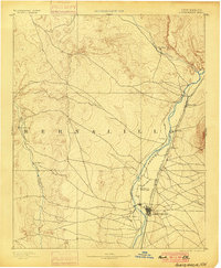
1893 Map of Albuquerque
USGS Topo · Published 1900About this map
Albuquerque serves as the focal point of this late-nineteenth-century reconnaissance survey, centered on the fertile valley between the Rio Grande and the western mesas. The map reflects a landscape defined by traditional Spanish and Puebloan settlements, including Santa Ana, Bernalillo, and Sandia, alongside newer industrial developments. The arrival of the Atchison Topeka and Santa Fe Railroad is clearly visible, running parallel to the river and connecting historic villages like Alameda and Corales. This period represents a critical juncture when the centuries-old agrarian patterns of Ranchos de Albuquerque and Artisco began to integrate with the expanding rail network. To the west, the arid drainage of the Rio Puerco and outposts such as San Ignacio highlight the sharp contrast between the irrigated river corridor and the high desert interior.
Find a feature on this map
15 named features on this map. Tap any name to fly to it.
Don’t see what you’re looking for? This feature index may not catch every label — zoom into the map to look around manually.
Map Details
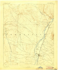
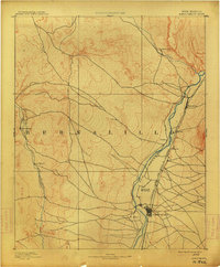
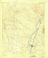
Editions of this 1893 Albuquerque Map
5 editions found
Other maps of this area

1883 · Mt. Taylor
USGS Topo · 1:250,000

1886 · Mt. Taylor
USGS Topo · 1:250,000

1888 · Bernalillo
USGS Topo · 1:125,000

1889 · Albuquerque
USGS Topo · 1:125,000

1890 · Jemes
USGS Topo · 1:125,000

1892 · San Pedro
USGS Topo · 1:125,000

1892 · Jemes
USGS Topo · 1:125,000

1892 · Santa Clara
USGS Topo · 1:125,000

1892 · Mt. Taylor
USGS Topo · 1:250,000

1893 · Albuquerque
USGS Topo · 1:125,000