
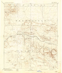
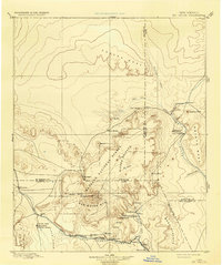
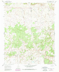
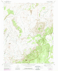
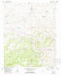
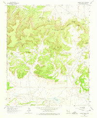
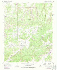
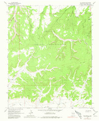
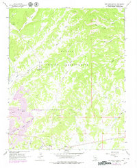
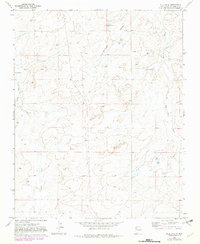
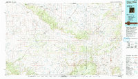
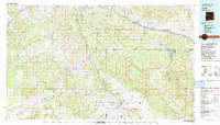
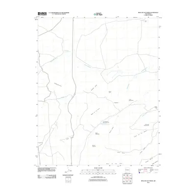
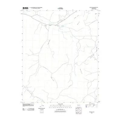
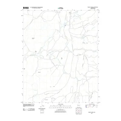
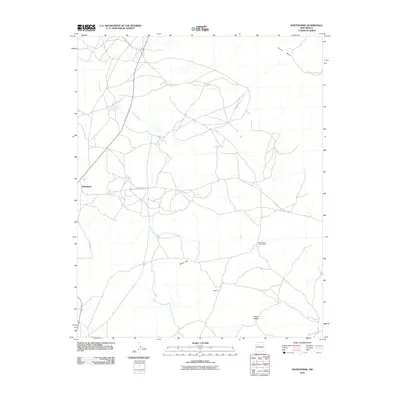
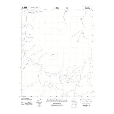
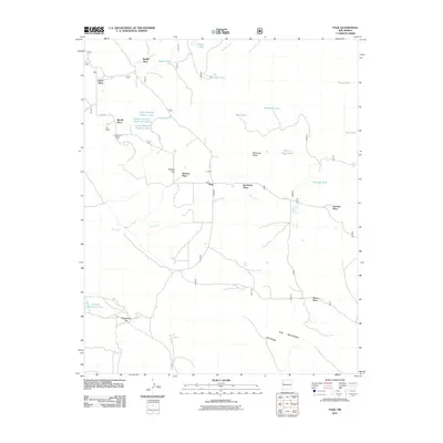
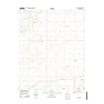
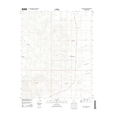
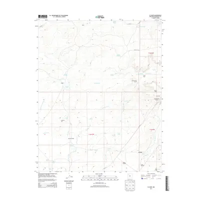
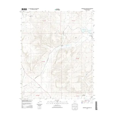
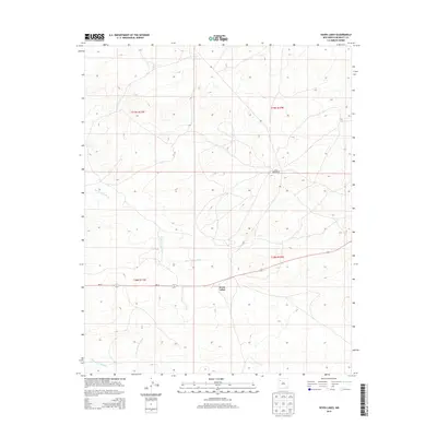
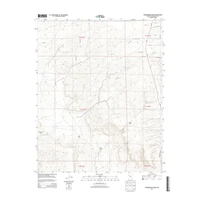
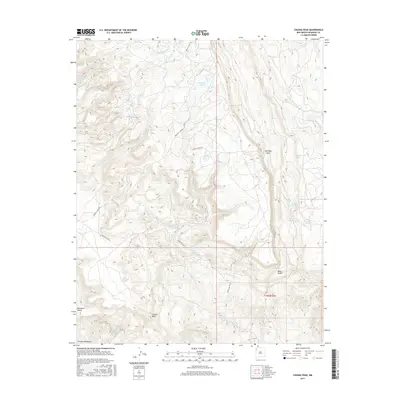
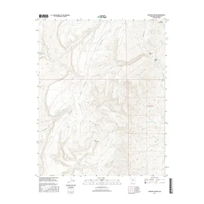
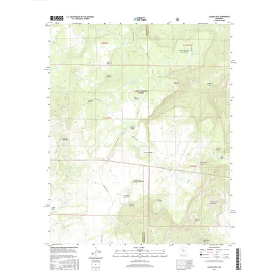
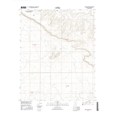
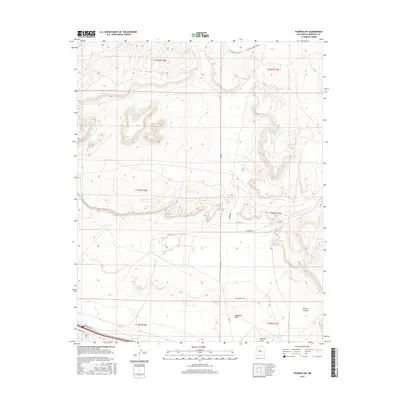
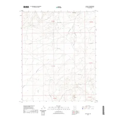
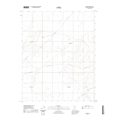
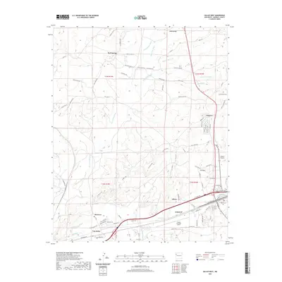
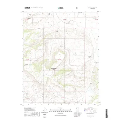
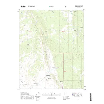
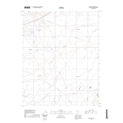
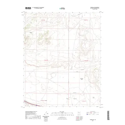
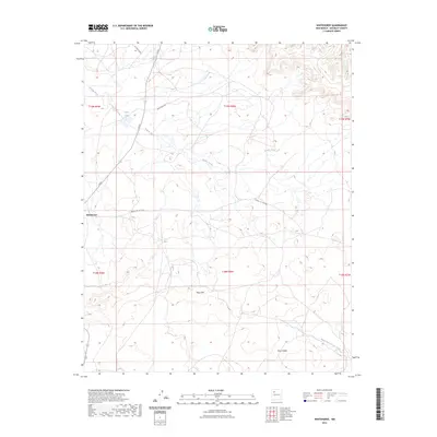
1899 Map of Mt. Taylor
USGS Topo · Published 1899About this map
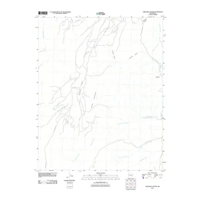
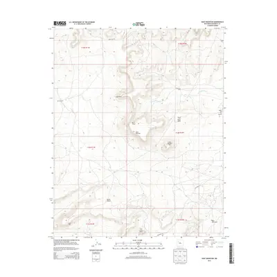
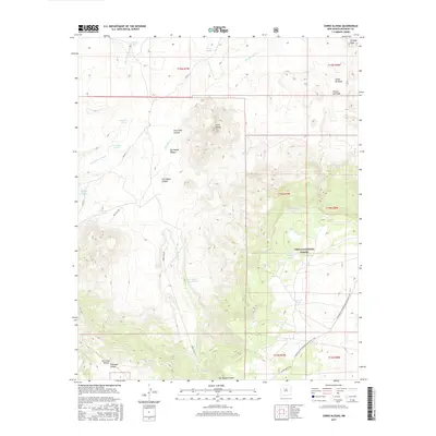
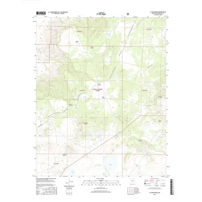
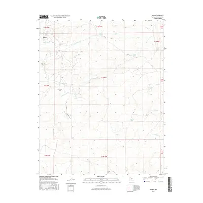
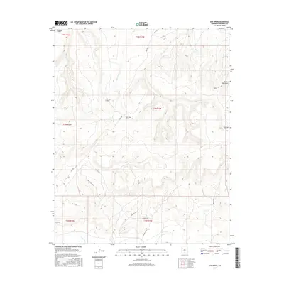
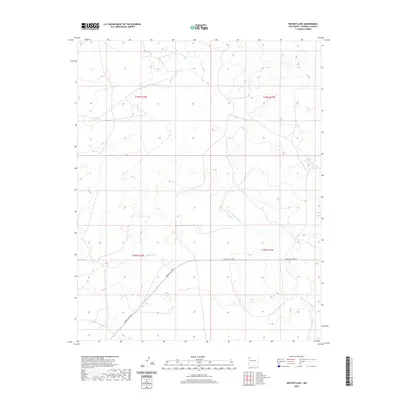
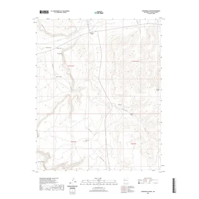
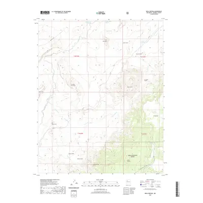
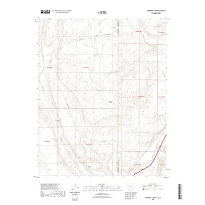
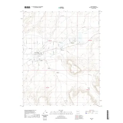
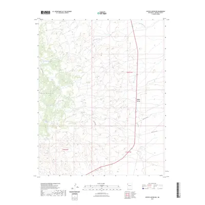
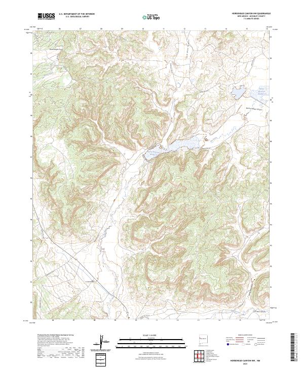
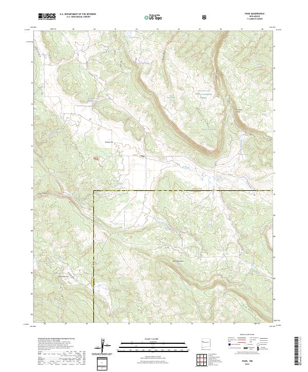
Mt. Taylor 11389 anchors this late-19th-century reconnaissance of the high desert, rising above the San Mateo Mts and the surrounding volcanic terrain of the Lava Field. The region's transport network is defined by the Santa Fe Pacific Railroad and the Rio San Jose corridor, which connects a string of early settlements including Grant, Cubero, and Laguna. To the north, the landscape is punctuated by massive landforms like Chacra Mesa and the sharp profile of Cabezon Peak.
Find a feature on this map
46 named features on this map. Tap any name to fly to it.
Don’t see what you’re looking for? This feature index may not catch every label — zoom into the map to look around manually.
Map Details
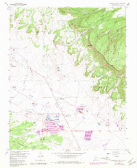
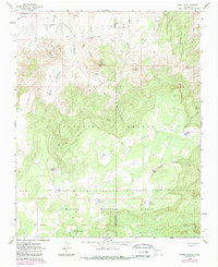
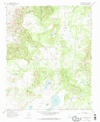
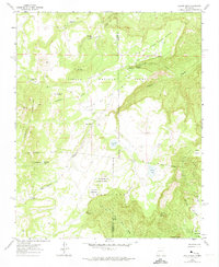
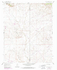
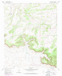
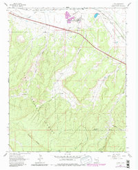
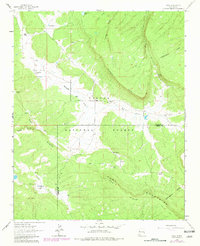
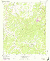
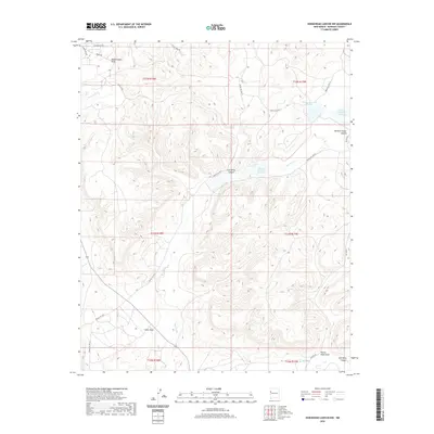
Editions of this 1899 Mt. Taylor Map
5 editions found
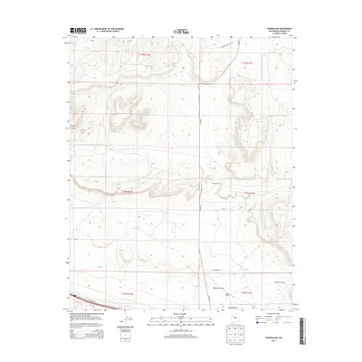
Historical Maps of Grants Through Time
446 maps found

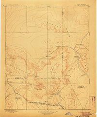
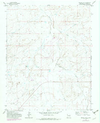
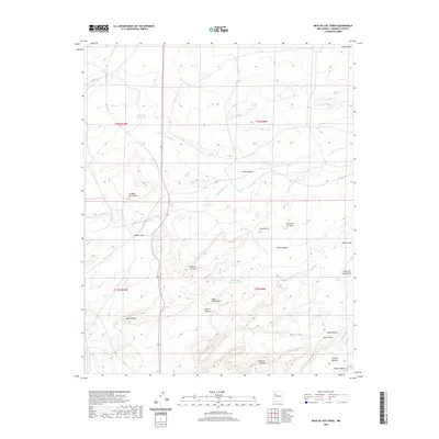
1883 Mt. Taylor
McKinley County, NM

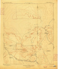
1886 Mt. Taylor
McKinley County, NM

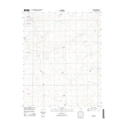
1886 Wingate
McKinley County, NM

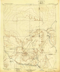
1892 Mt. Taylor
McKinley County, NM
1892 Wingate
McKinley County, NM
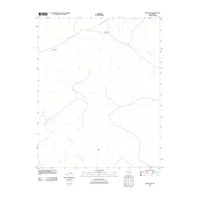
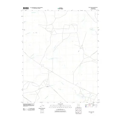
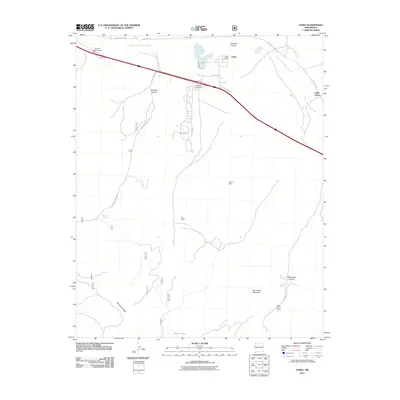
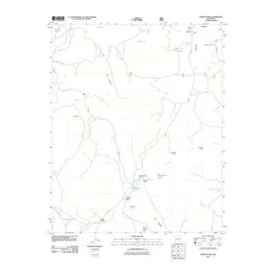
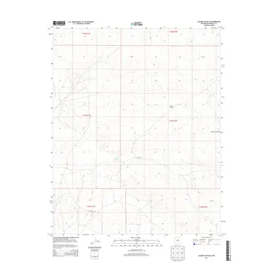
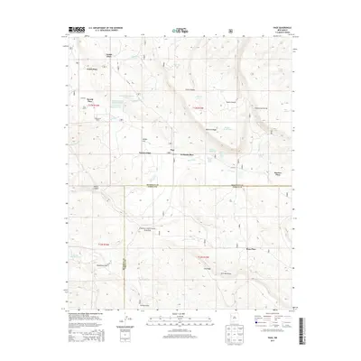
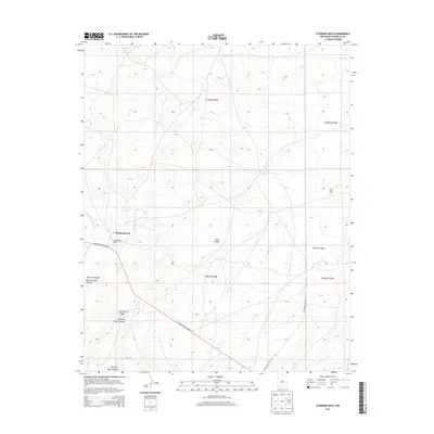
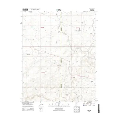
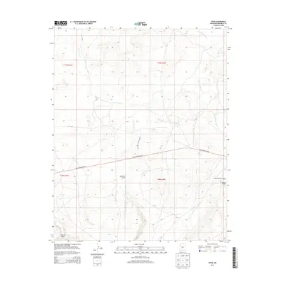
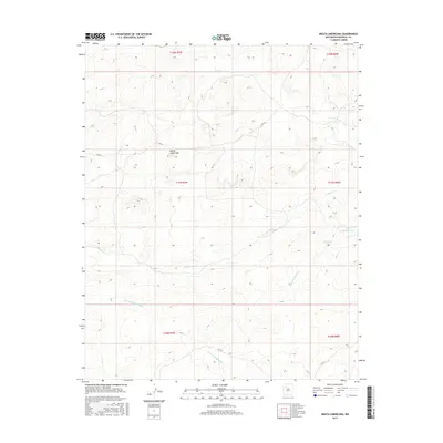
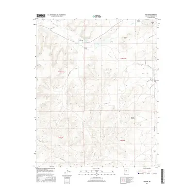
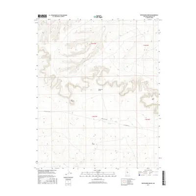
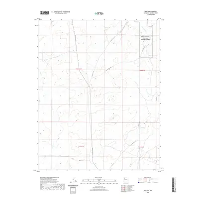
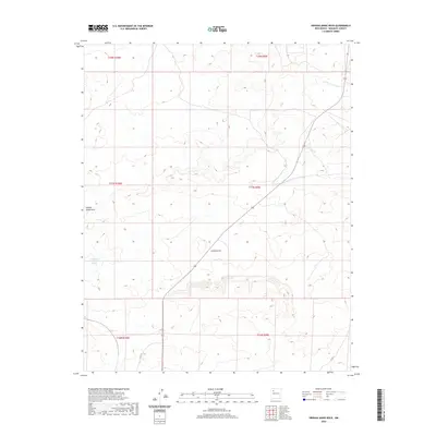
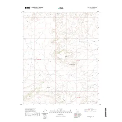
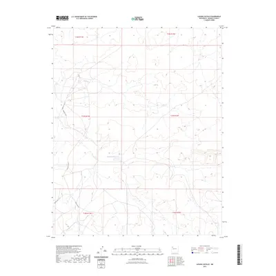
1899 Mt. Taylor
McKinley County, NM
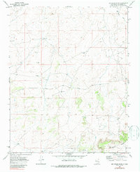
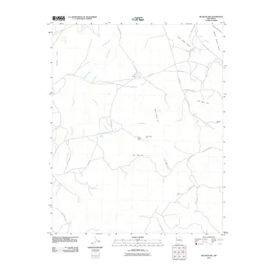
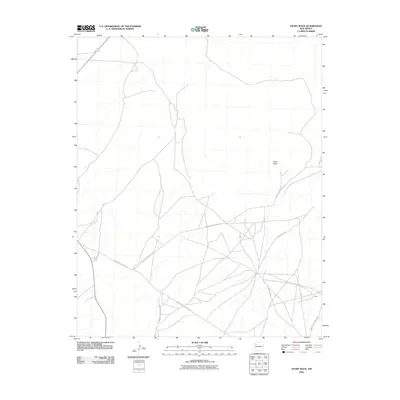
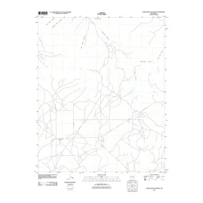
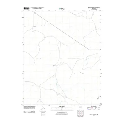
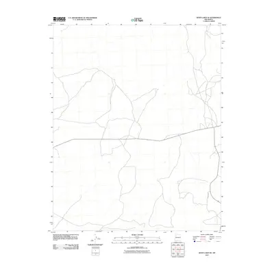
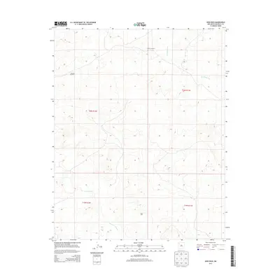
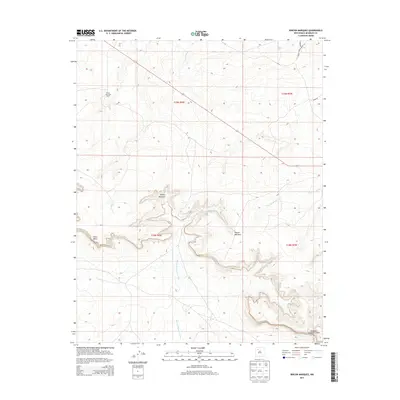
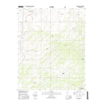
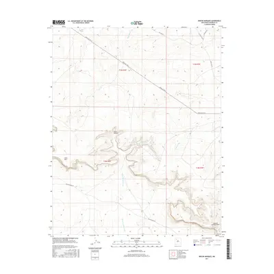
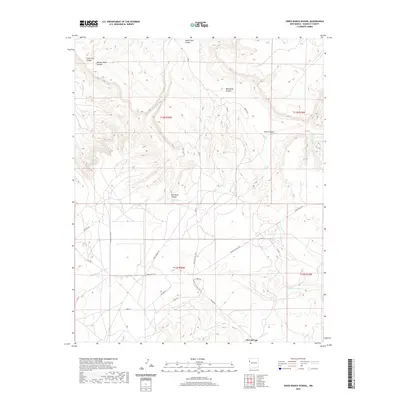
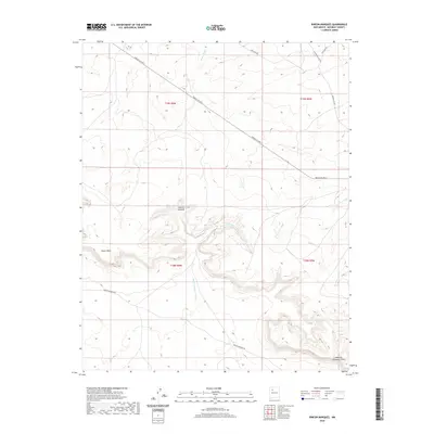
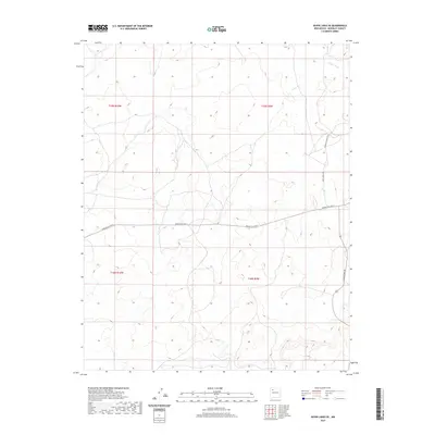
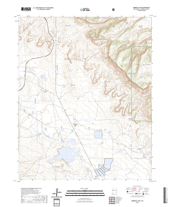
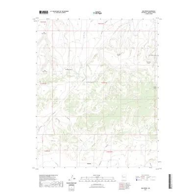
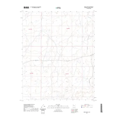
1957 Ambrosia Lake
McKinley County, NM
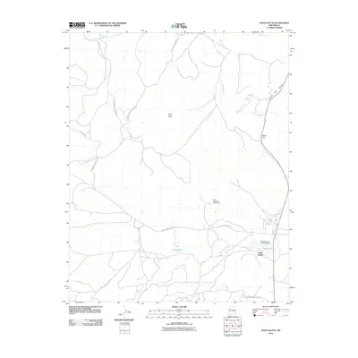
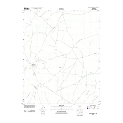
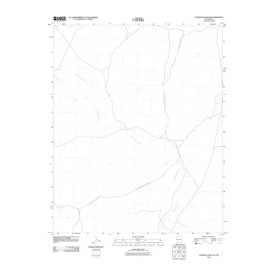
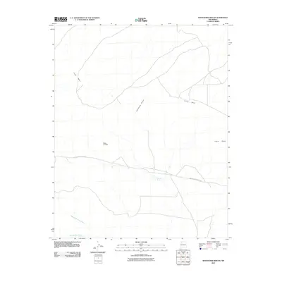
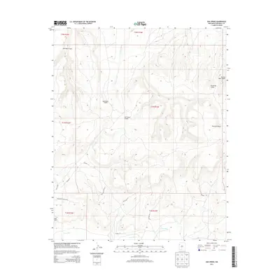
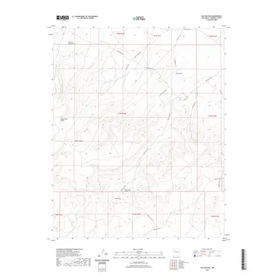
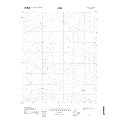
1957 Goat Mountain
McKinley County, NM
1960 Pueblo Alto Trading Post
McKinley County, NM
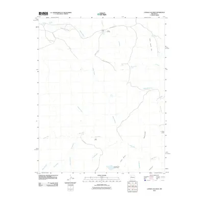
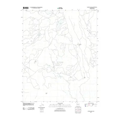
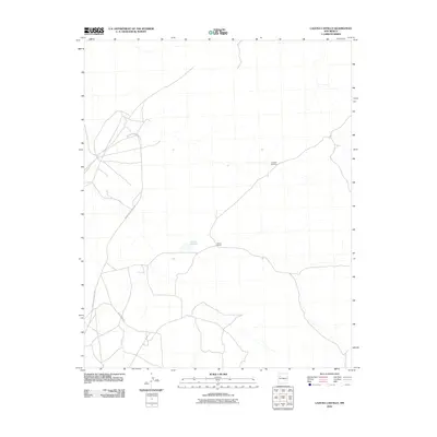
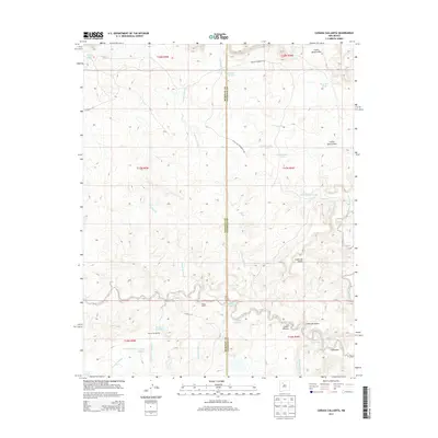
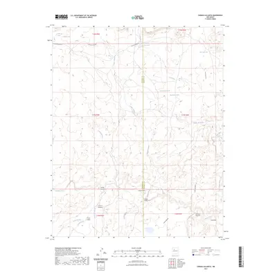
1961 Canada Calladita
McKinley County, NM
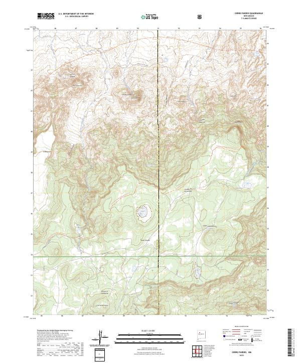
1961 Cerro Parido
McKinley County, NM

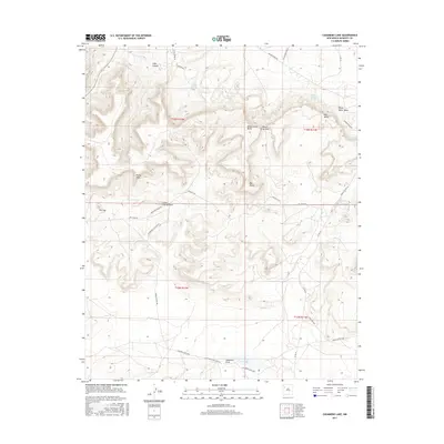
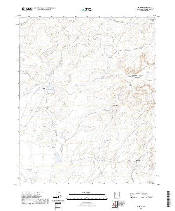
1961 El Dado
McKinley County, NM
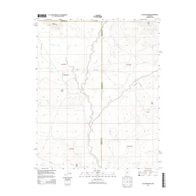
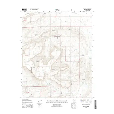
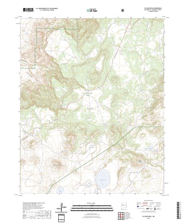
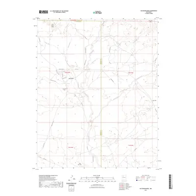
1961 El Dado Mesa
McKinley County, NM

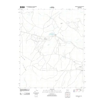
1961 Hospah
McKinley County, NM
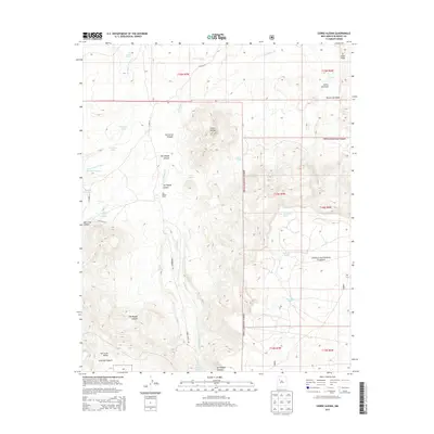
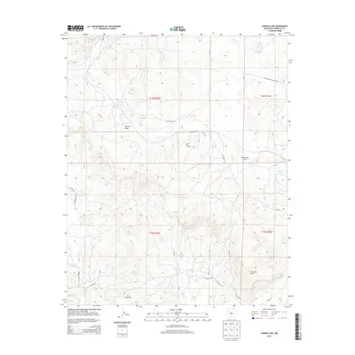
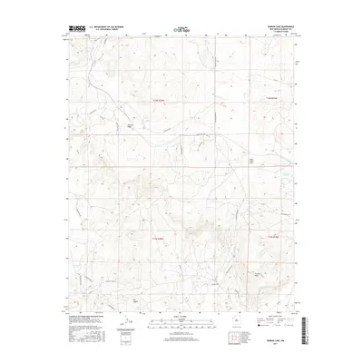
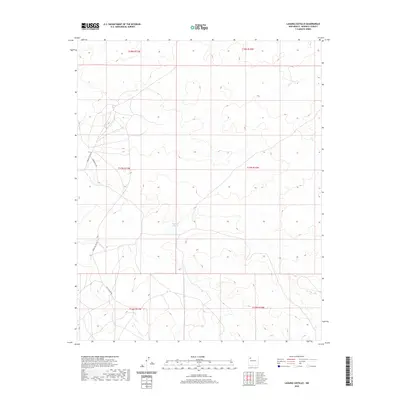
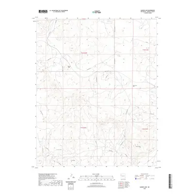
1961 Laguna Seca
McKinley County, NM
1961 Mesa Cortada
McKinley County, NM

1961 Mesita Americana
McKinley County, NM

1961 Mesita Del Gavilan
McKinley County, NM
1961 Ojo Encino Mesa
McKinley County, NM

1961 Piedra De La Aguila
McKinley County, NM
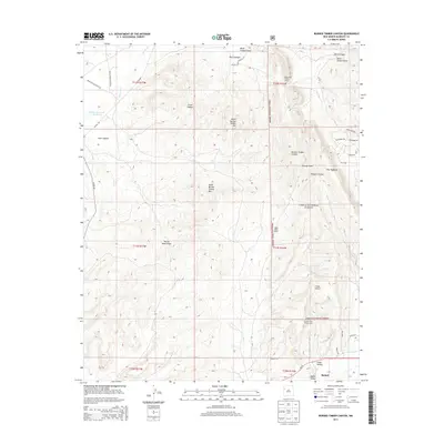
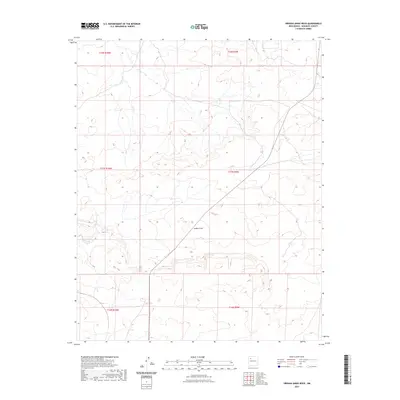
1961 Rincon Marquez
McKinley County, NM
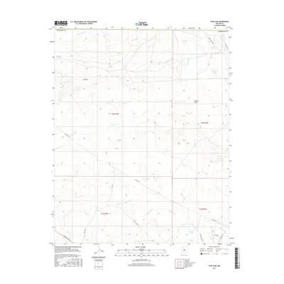
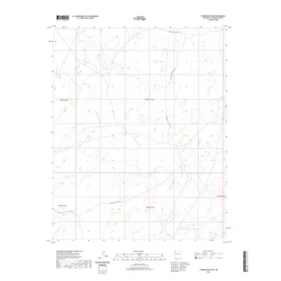
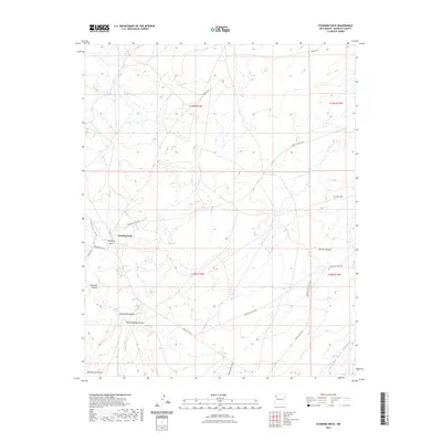
1961 Star Lake
McKinley County, NM
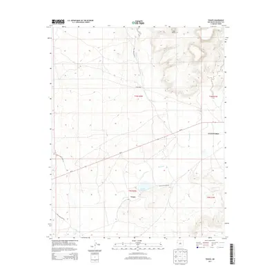
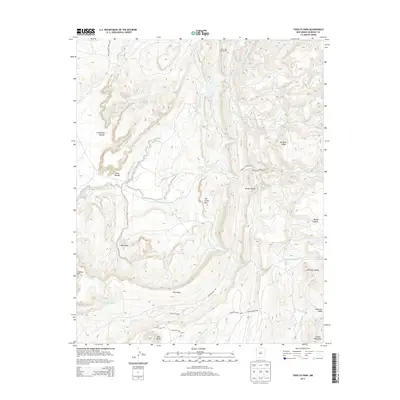
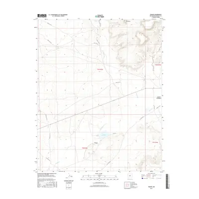
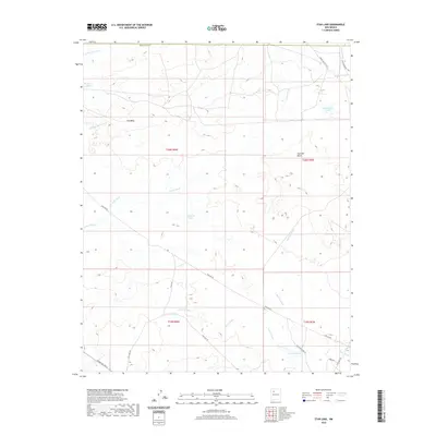
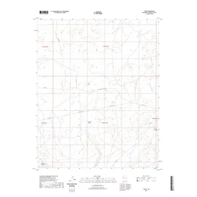
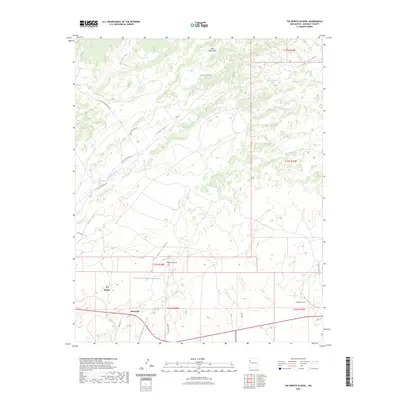
1961 Tinian
McKinley County, NM

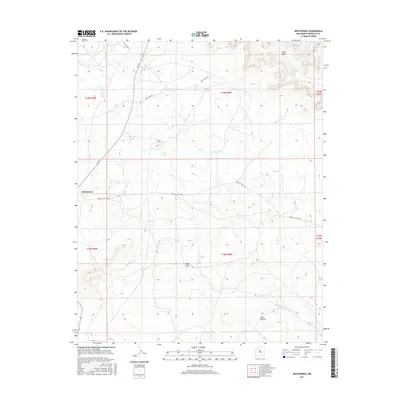
1961 Whitehorse
McKinley County, NM

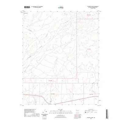
1961 Whitehorse Rincon
McKinley County, NM
1962 Ciniza
McKinley County, NM
1962 Page
McKinley County, NM

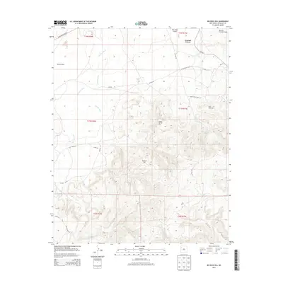
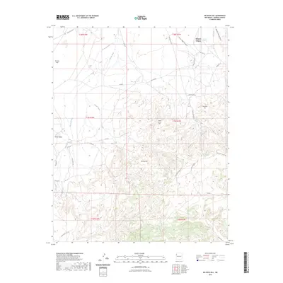
1963 Big Rock Hill
McKinley County, NM
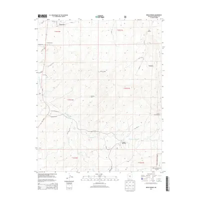
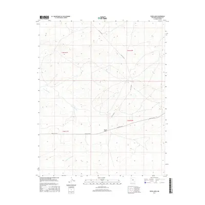
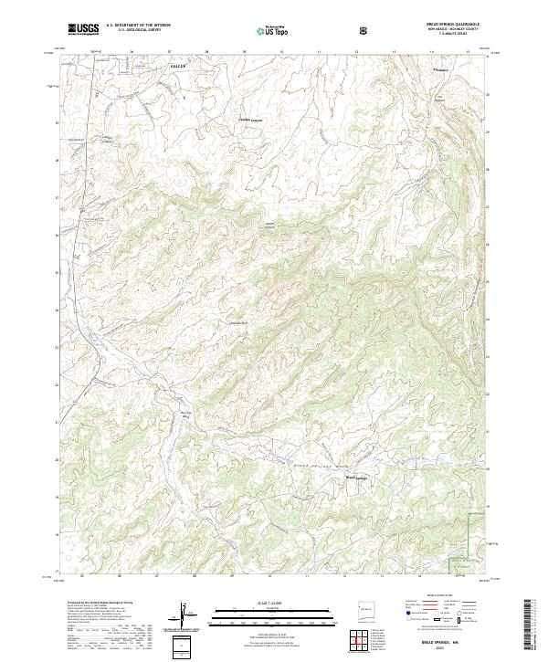
1963 Bread Springs
McKinley County, NM
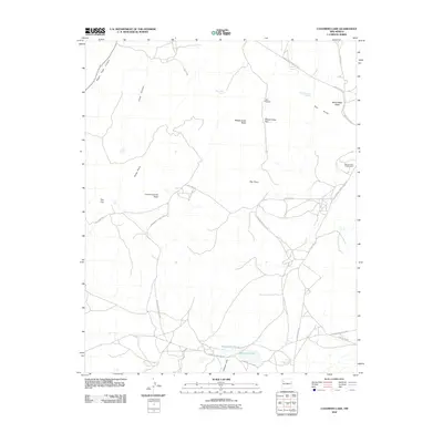
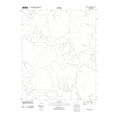
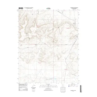
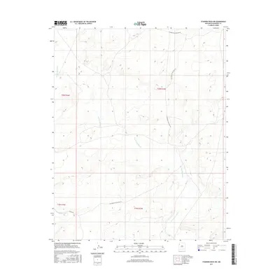
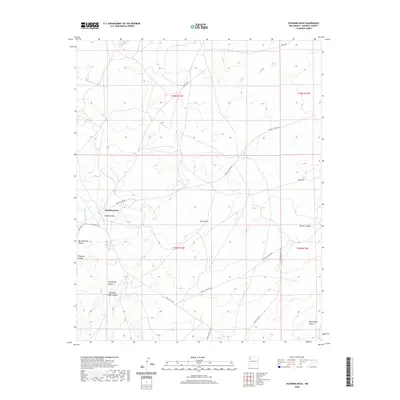
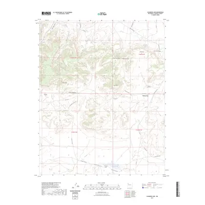
1963 Casamero Lake
McKinley County, NM
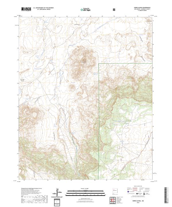
1963 Cerro Alesna
McKinley County, NM

1963 Dalton Pass
McKinley County, NM
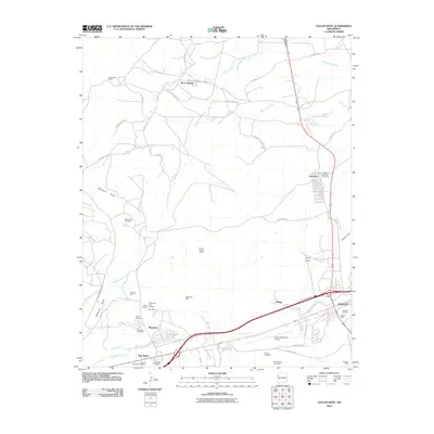
1963 Gallup East
McKinley County, NM
1963 Gallup West
McKinley County, NM
1963 Hard Ground Flats
McKinley County, NM

1963 Heart Rock
McKinley County, NM
1963 Hosta Butte
McKinley County, NM

1963 Jones Ranch School
McKinley County, NM

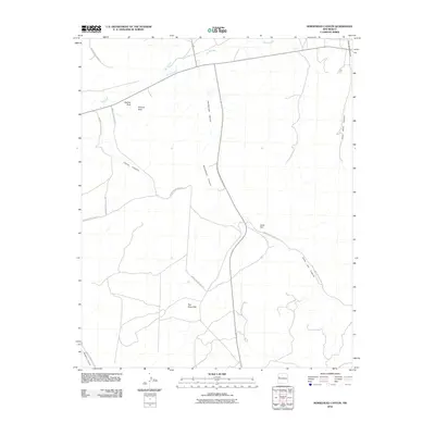
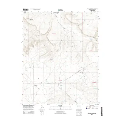
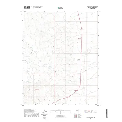
1963 Laguna Castillo
McKinley County, NM
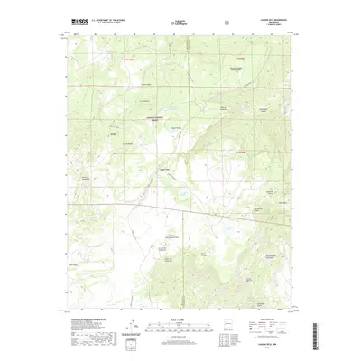
1963 Mariano Lake
McKinley County, NM
1963 Mesa De Los Toros
McKinley County, NM
1963 Oak Spring
McKinley County, NM
1963 Orphan Annie Rock
McKinley County, NM
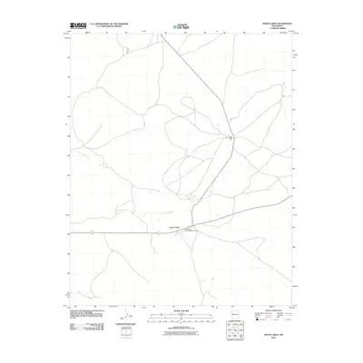
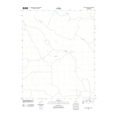
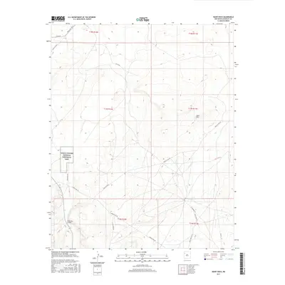
1963 Samson Lake
McKinley County, NM

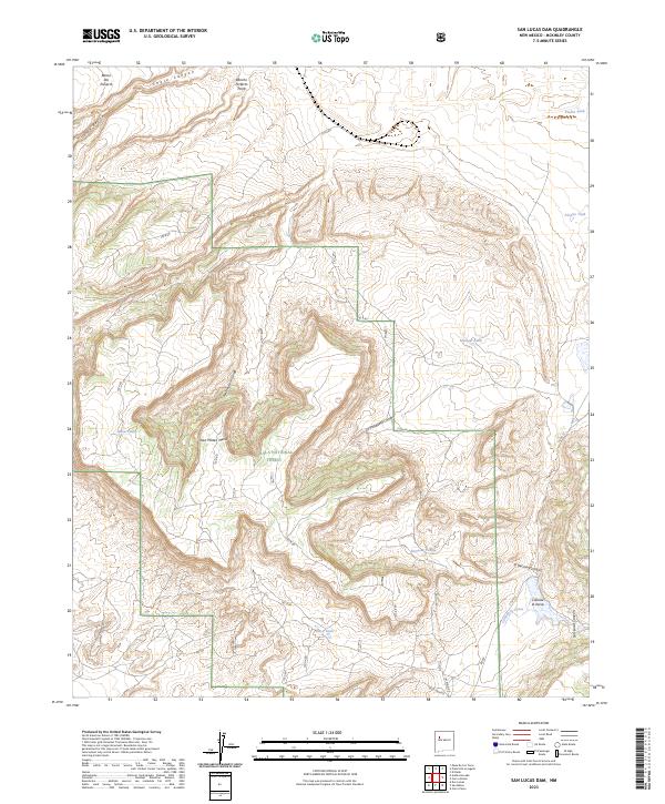
1963 San Lucas Dam
McKinley County, NM
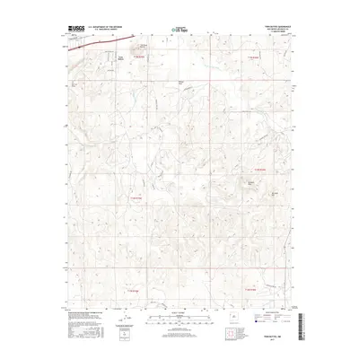
1963 Thoreau NE
McKinley County, NM
1963 Tse Bonita School
McKinley County, NM
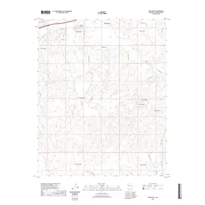
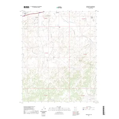
1963 Twin Buttes
McKinley County, NM
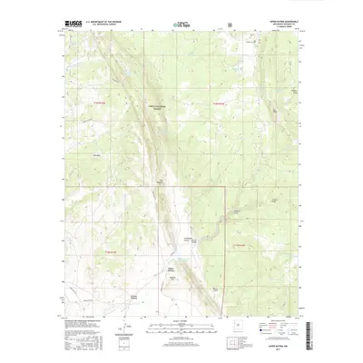
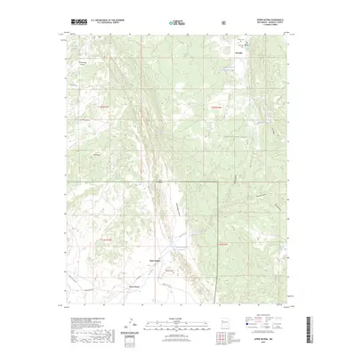
1963 Upper Nutria
McKinley County, NM
1963 Vander Wagen
McKinley County, NM

1970 Antelope Lookout Mesa
McKinley County, NM
1970 Becenti Lake
McKinley County, NM

1970 Chuska Lake
McKinley County, NM

1970 Coyote Canyon
McKinley County, NM

1970 Coyote Canyon NW
McKinley County, NM

1970 Ear Rock
McKinley County, NM
1970 Kin Nahzin Ruins
McKinley County, NM
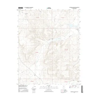
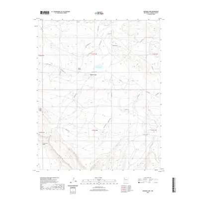
1970 Milk Lake
McKinley County, NM

1970 Nose Rock
McKinley County, NM

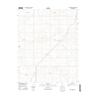
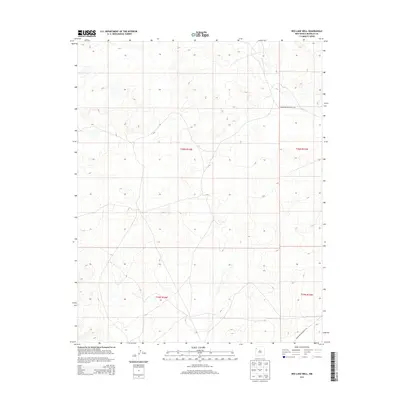
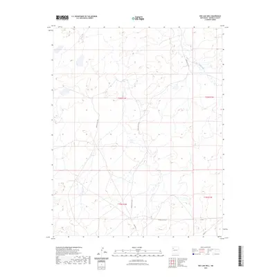
1970 Red Lake Well
McKinley County, NM

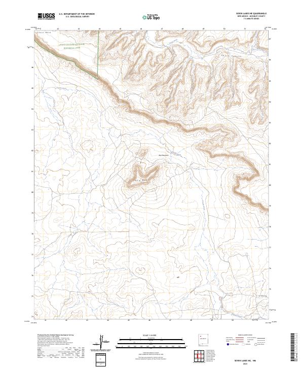
1970 Seven Lakes
McKinley County, NM

1970 Seven Lakes NE
McKinley County, NM

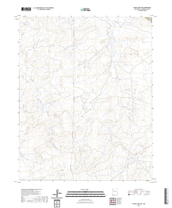
1970 Seven Lakes NW
McKinley County, NM

1970 Standing Rock
McKinley County, NM

1970 Standing Rock NW
McKinley County, NM

1970 Toyee
McKinley County, NM

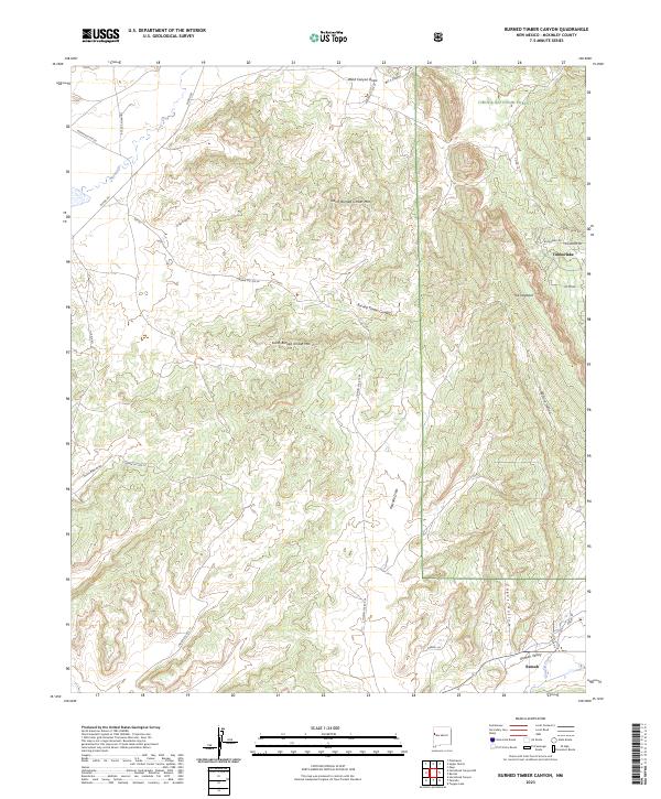
1972 Burned Timber Canyon
McKinley County, NM

1972 Horsehead Canyon
McKinley County, NM

1972 Horsehead Canyon NW
McKinley County, NM

1972 Pescado
McKinley County, NM

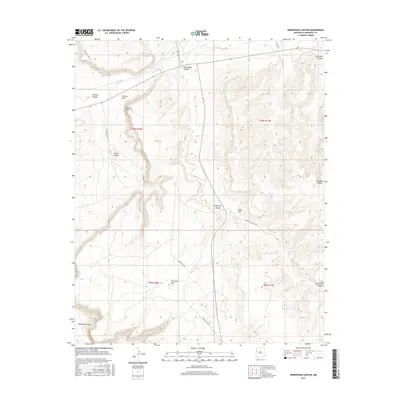
1972 Vanderwagen Draw
McKinley County, NM
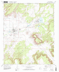
1972 Zuni
McKinley County, NM

1973 Chi Chil Tah
McKinley County, NM
1977 Chaco Mesa
McKinley County, NM

1979 Gallup East
McKinley County, NM
1981 Zuni
McKinley County, NM

1982 Chuska Peak
McKinley County, NM

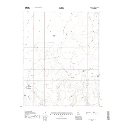
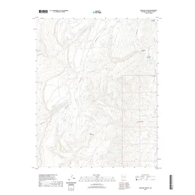
1982 Crevasse Canyon
McKinley County, NM

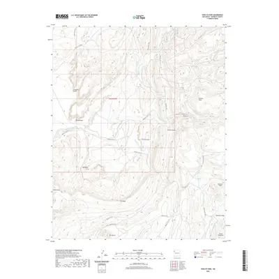
1982 Todilto Park
McKinley County, NM

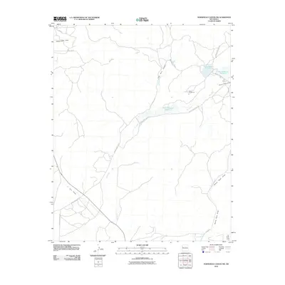
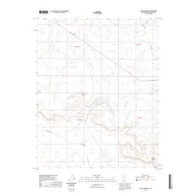
1995 Ambrosia Lake
McKinley County, NM

1995 Bread Springs
McKinley County, NM

1995 Burned Timber Canyon
McKinley County, NM

1995 Cerro Alesna
McKinley County, NM

1995 Cerro Parido
McKinley County, NM

1995 Ciniza
McKinley County, NM

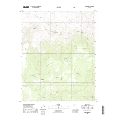
1995 El Dado Mesa
McKinley County, NM

1995 Laguna Seca
McKinley County, NM

1995 Mesa Cortada
McKinley County, NM

1995 Page
McKinley County, NM

1995 San Lucas Dam
McKinley County, NM

1995 Upper Nutria
McKinley County, NM
2010 Antelope Lookout Mesa
McKinley County, NM
2010 Becenti Lake
McKinley County, NM
2010 Big Rock Hill
McKinley County, NM
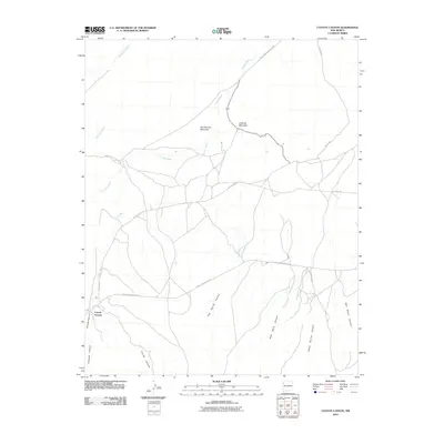
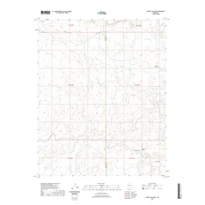
2010 Canada Calladita
McKinley County, NM
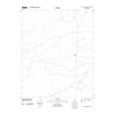
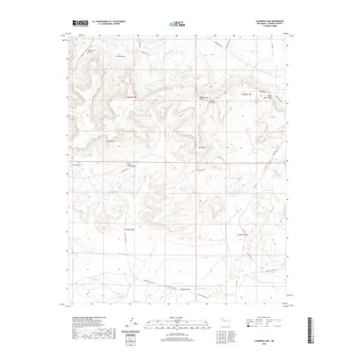
2010 Casamero Lake
McKinley County, NM
2010 Chi Chil Tah
McKinley County, NM
2010 Chuska Lake
McKinley County, NM
2010 Chuska Peak
McKinley County, NM
2010 Coyote Canyon
McKinley County, NM
2010 Coyote Canyon NW
McKinley County, NM
2010 Crevasse Canyon
McKinley County, NM
2010 Dalton Pass
McKinley County, NM
2010 Ear Rock
McKinley County, NM
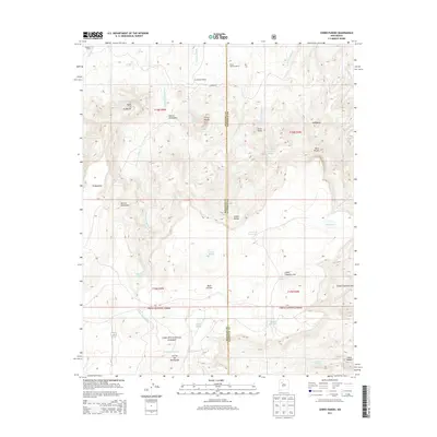
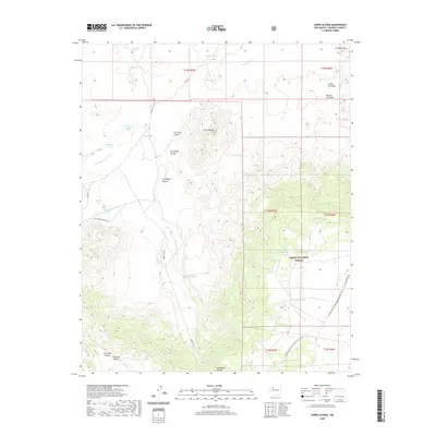
2010 El Dado
McKinley County, NM
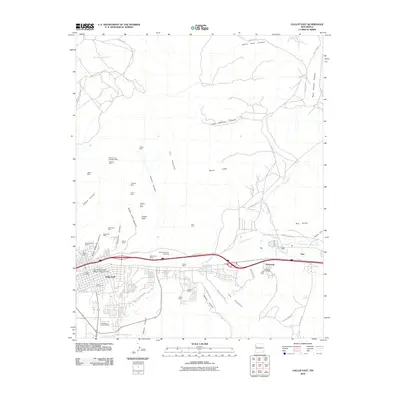
2010 Gallup East
McKinley County, NM
2010 Gallup West
McKinley County, NM
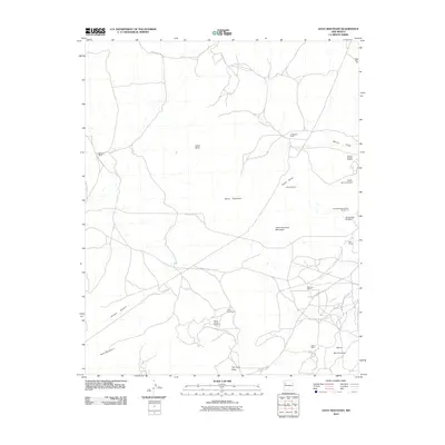
2010 Goat Mountain
McKinley County, NM
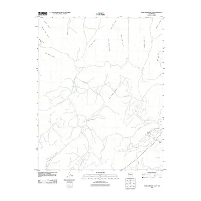
2010 Hard Ground Flats
McKinley County, NM
2010 Heart Rock
McKinley County, NM
2010 Horsehead Canyon
McKinley County, NM
2010 Horsehead Canyon NW
McKinley County, NM
2010 Hospah
McKinley County, NM
2010 Hosta Butte
McKinley County, NM
2010 Jones Ranch School
McKinley County, NM
2010 Laguna Castillo
McKinley County, NM
2010 Mariano Lake
McKinley County, NM
2010 Mesa De Los Toros
McKinley County, NM
2010 Mesita Americana
McKinley County, NM
2010 Mesita Del Gavilan
McKinley County, NM
2010 Milk Lake
McKinley County, NM
2010 Nose Rock
McKinley County, NM
2010 Oak Spring
McKinley County, NM
2010 Ojo Encino Mesa
McKinley County, NM
2010 Orphan Annie Rock
McKinley County, NM
2010 Pescado
McKinley County, NM
2010 Piedra De La Aguila
McKinley County, NM
2010 Pueblo Alto Trading Post
McKinley County, NM
2010 Red Lake Well
McKinley County, NM
2010 Rincon Marquez
McKinley County, NM
2010 Samson Lake
McKinley County, NM
2010 Seven Lakes
McKinley County, NM
2010 Seven Lakes NE
McKinley County, NM
2010 Seven Lakes NW
McKinley County, NM
2010 Seven Lakes SE
McKinley County, NM
2010 Standing Rock
McKinley County, NM
2010 Standing Rock NW
McKinley County, NM
2010 Star Lake
McKinley County, NM
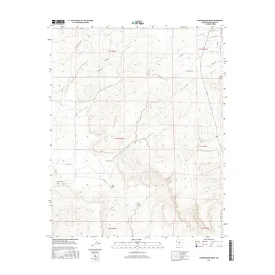
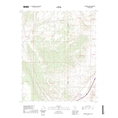
2010 Surrender Canyon
McKinley County, NM
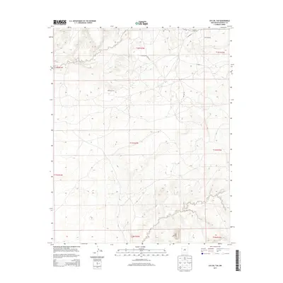
2010 Tekapo
McKinley County, NM
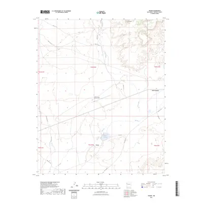
2010 Tinian
McKinley County, NM
2010 Todilto Park
McKinley County, NM
2010 Toyee
McKinley County, NM
2010 Tse Bonita School
McKinley County, NM
2010 Vanderwagen Draw
McKinley County, NM
2010 Whitehorse
McKinley County, NM
2010 Whitehorse Rincon
McKinley County, NM
2010 Zuni
McKinley County, NM
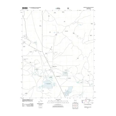
2011 Ambrosia Lake
McKinley County, NM
2011 Bread Springs
McKinley County, NM
2011 Burned Timber Canyon
McKinley County, NM
2011 Cerro Alesna
McKinley County, NM
2011 Cerro Parido
McKinley County, NM
2011 Ciniza
McKinley County, NM
2011 El Dado Mesa
McKinley County, NM
2011 Laguna Seca
McKinley County, NM
2011 Mesa Cortada
McKinley County, NM
2011 Page
McKinley County, NM
2011 San Lucas Dam
McKinley County, NM
2011 Thoreau NE
McKinley County, NM
2011 Twin Buttes
McKinley County, NM
2011 Upper Nutria
McKinley County, NM
2013 Ambrosia Lake
McKinley County, NM
2013 Antelope Lookout Mesa
McKinley County, NM
2013 Becenti Lake
McKinley County, NM
2013 Big Rock Hill
McKinley County, NM
2013 Bread Springs
McKinley County, NM
2013 Burned Timber Canyon
McKinley County, NM
2013 Canada Calladita
McKinley County, NM
2013 Casamero Lake
McKinley County, NM
2013 Cerro Alesna
McKinley County, NM
2013 Cerro Parido
McKinley County, NM
2013 Chi Chil Tah
McKinley County, NM
2013 Chuska Lake
McKinley County, NM
2013 Chuska Peak
McKinley County, NM
2013 Ciniza
McKinley County, NM
2013 Coyote Canyon
McKinley County, NM
2013 Coyote Canyon NW
McKinley County, NM
2013 Crevasse Canyon
McKinley County, NM
2013 Dalton Pass
McKinley County, NM
2013 Ear Rock
McKinley County, NM
2013 El Dado
McKinley County, NM
2013 El Dado Mesa
McKinley County, NM
2013 Gallup East
McKinley County, NM
2013 Gallup West
McKinley County, NM
2013 Goat Mountain
McKinley County, NM
2013 Hard Ground Flats
McKinley County, NM
2013 Heart Rock
McKinley County, NM
2013 Horsehead Canyon
McKinley County, NM
2013 Horsehead Canyon NW
McKinley County, NM
2013 Hospah
McKinley County, NM
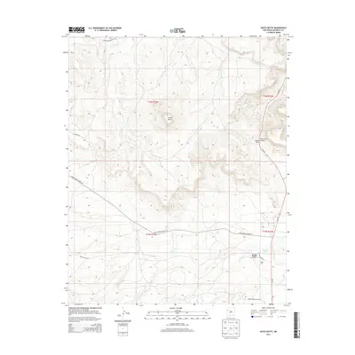
2013 Hosta Butte
McKinley County, NM
2013 Jones Ranch School
McKinley County, NM
2013 Laguna Castillo
McKinley County, NM
2013 Laguna Seca
McKinley County, NM
2013 Mariano Lake
McKinley County, NM
2013 Mesa Cortada
McKinley County, NM
2013 Mesa De Los Toros
McKinley County, NM
2013 Mesita Americana
McKinley County, NM
2013 Mesita Del Gavilan
McKinley County, NM
2013 Milk Lake
McKinley County, NM
2013 Nose Rock
McKinley County, NM
2013 Oak Spring
McKinley County, NM
2013 Ojo Encino Mesa
McKinley County, NM
2013 Orphan Annie Rock
McKinley County, NM
2013 Page
McKinley County, NM
2013 Pescado
McKinley County, NM
2013 Piedra De La Aguila
McKinley County, NM
2013 Pueblo Alto Trading Post
McKinley County, NM
2013 Red Lake Well
McKinley County, NM
2013 Rincon Marquez
McKinley County, NM
2013 Samson Lake
McKinley County, NM
2013 San Lucas Dam
McKinley County, NM
2013 Seven Lakes
McKinley County, NM
2013 Seven Lakes NE
McKinley County, NM
2013 Seven Lakes NW
McKinley County, NM
2013 Seven Lakes SE
McKinley County, NM
2013 Standing Rock
McKinley County, NM
2013 Standing Rock NW
McKinley County, NM
2013 Star Lake
McKinley County, NM
2013 Surrender Canyon
McKinley County, NM
2013 Tekapo
McKinley County, NM
2013 Thoreau NE
McKinley County, NM
2013 Tinian
McKinley County, NM
2013 Todilto Park
McKinley County, NM
2013 Toyee
McKinley County, NM
2013 Tse Bonita School
McKinley County, NM
2013 Twin Buttes
McKinley County, NM
2013 Upper Nutria
McKinley County, NM
2013 Vanderwagen Draw
McKinley County, NM
2013 Whitehorse
McKinley County, NM
2013 Whitehorse Rincon
McKinley County, NM
2013 Zuni
McKinley County, NM
2017 Ambrosia Lake
McKinley County, NM
2017 Antelope Lookout Mesa
McKinley County, NM
2017 Becenti Lake
McKinley County, NM
2017 Big Rock Hill
McKinley County, NM
2017 Bread Springs
McKinley County, NM
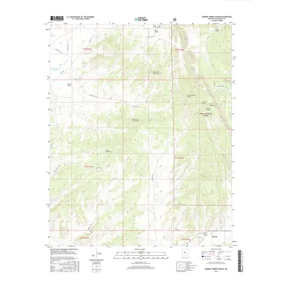
2017 Burned Timber Canyon
McKinley County, NM
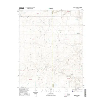
2017 Canada Calladita
McKinley County, NM
2017 Casamero Lake
McKinley County, NM
2017 Cerro Alesna
McKinley County, NM
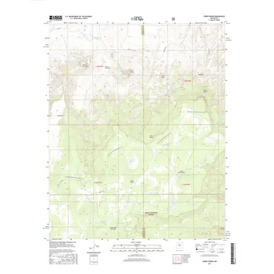
2017 Cerro Parido
McKinley County, NM
2017 Chi Chil Tah
McKinley County, NM
2017 Chuska Lake
McKinley County, NM
2017 Chuska Peak
McKinley County, NM
2017 Ciniza
McKinley County, NM
2017 Coyote Canyon
McKinley County, NM
2017 Coyote Canyon NW
McKinley County, NM
2017 Crevasse Canyon
McKinley County, NM
2017 Dalton Pass
McKinley County, NM
2017 Ear Rock
McKinley County, NM
2017 El Dado
McKinley County, NM
2017 El Dado Mesa
McKinley County, NM
2017 Gallup East
McKinley County, NM
2017 Gallup West
McKinley County, NM
2017 Goat Mountain
McKinley County, NM
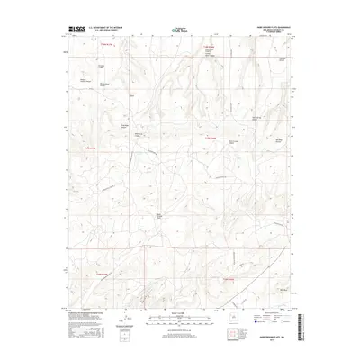
2017 Hard Ground Flats
McKinley County, NM
2017 Heart Rock
McKinley County, NM
2017 Horsehead Canyon
McKinley County, NM
2017 Horsehead Canyon NW
McKinley County, NM
2017 Hospah
McKinley County, NM
2017 Hosta Butte
McKinley County, NM
2017 Jones Ranch School
McKinley County, NM
2017 Laguna Castillo
McKinley County, NM
2017 Laguna Seca
McKinley County, NM
2017 Mariano Lake
McKinley County, NM
2017 Mesa Cortada
McKinley County, NM
2017 Mesa De Los Toros
McKinley County, NM
2017 Mesita Americana
McKinley County, NM
2017 Mesita Del Gavilan
McKinley County, NM
2017 Milk Lake
McKinley County, NM
2017 Nose Rock
McKinley County, NM
2017 Oak Spring
McKinley County, NM
2017 Ojo Encino Mesa
McKinley County, NM
2017 Orphan Annie Rock
McKinley County, NM
2017 Page
McKinley County, NM
2017 Pescado
McKinley County, NM
2017 Piedra De La Aguila
McKinley County, NM
2017 Pueblo Alto Trading Post
McKinley County, NM
2017 Red Lake Well
McKinley County, NM
2017 Rincon Marquez
McKinley County, NM
2017 Samson Lake
McKinley County, NM
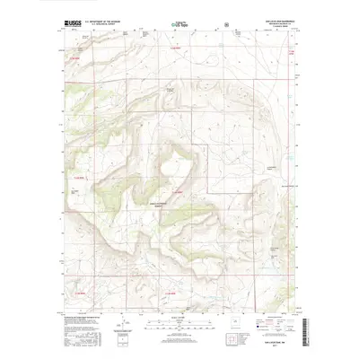
2017 San Lucas Dam
McKinley County, NM
2017 Seven Lakes
McKinley County, NM
2017 Seven Lakes NE
McKinley County, NM
2017 Seven Lakes NW
McKinley County, NM
2017 Seven Lakes SE
McKinley County, NM
2017 Standing Rock
McKinley County, NM
2017 Standing Rock NW
McKinley County, NM
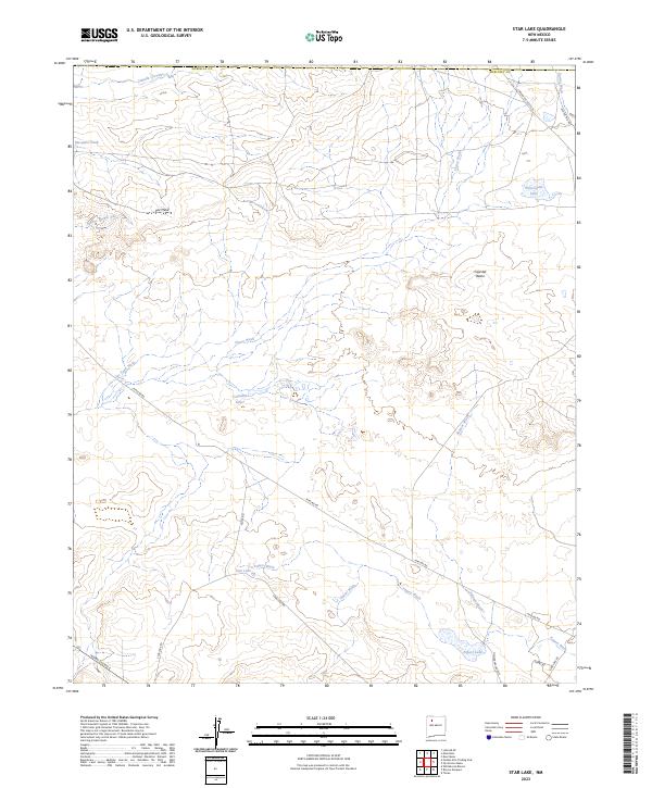
2017 Star Lake
McKinley County, NM
2017 Surrender Canyon
McKinley County, NM
2017 Tekapo
McKinley County, NM
2017 Thoreau NE
McKinley County, NM
2017 Tinian
McKinley County, NM

2017 Todilto Park
McKinley County, NM
2017 Toyee
McKinley County, NM
2017 Tse Bonita School
McKinley County, NM
2017 Twin Buttes
McKinley County, NM
2017 Upper Nutria
McKinley County, NM
2017 Vanderwagen Draw
McKinley County, NM
2017 Whitehorse
McKinley County, NM
2017 Whitehorse Rincon
McKinley County, NM
2017 Zuni
McKinley County, NM
2020 Ambrosia Lake
McKinley County, NM
2020 Antelope Lookout Mesa
McKinley County, NM
2020 Becenti Lake
McKinley County, NM
2020 Big Rock Hill
McKinley County, NM
2020 Bread Springs
McKinley County, NM
2020 Burned Timber Canyon
McKinley County, NM
2020 Canada Calladita
McKinley County, NM
2020 Casamero Lake
McKinley County, NM
2020 Cerro Alesna
McKinley County, NM
2020 Cerro Parido
McKinley County, NM
2020 Chi Chil Tah
McKinley County, NM
2020 Chuska Lake
McKinley County, NM
2020 Chuska Peak
McKinley County, NM
2020 Ciniza
McKinley County, NM
2020 Coyote Canyon
McKinley County, NM
2020 Coyote Canyon NW
McKinley County, NM
2020 Crevasse Canyon
McKinley County, NM
2020 Dalton Pass
McKinley County, NM
2020 Ear Rock
McKinley County, NM
2020 El Dado
McKinley County, NM
2020 El Dado Mesa
McKinley County, NM
2020 Gallup East
McKinley County, NM
2020 Gallup West
McKinley County, NM
2020 Goat Mountain
McKinley County, NM
2020 Hard Ground Flats
McKinley County, NM
2020 Heart Rock
McKinley County, NM
2020 Horsehead Canyon
McKinley County, NM
2020 Horsehead Canyon NW
McKinley County, NM
2020 Hospah
McKinley County, NM
2020 Hosta Butte
McKinley County, NM
2020 Jones Ranch School
McKinley County, NM
2020 Laguna Castillo
McKinley County, NM
2020 Laguna Seca
McKinley County, NM
2020 Mariano Lake
McKinley County, NM
2020 Mesa Cortada
McKinley County, NM
2020 Mesa De Los Toros
McKinley County, NM
2020 Mesita Americana
McKinley County, NM
2020 Mesita Del Gavilan
McKinley County, NM
2020 Milk Lake
McKinley County, NM
2020 Nose Rock
McKinley County, NM
2020 Oak Spring
McKinley County, NM
2020 Ojo Encino Mesa
McKinley County, NM
2020 Orphan Annie Rock
McKinley County, NM
2020 Page
McKinley County, NM
2020 Pescado
McKinley County, NM
2020 Piedra De La Aguila
McKinley County, NM
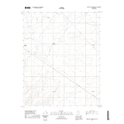
2020 Pueblo Alto Trading Post
McKinley County, NM
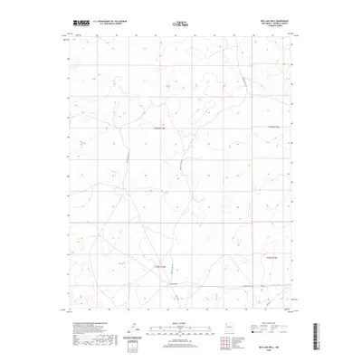
2020 Red Lake Well
McKinley County, NM
2020 Rincon Marquez
McKinley County, NM
2020 Samson Lake
McKinley County, NM
2020 San Lucas Dam
McKinley County, NM
2020 Seven Lakes
McKinley County, NM
2020 Seven Lakes NE
McKinley County, NM
2020 Seven Lakes NW
McKinley County, NM
2020 Seven Lakes SE
McKinley County, NM
2020 Standing Rock
McKinley County, NM
2020 Standing Rock NW
McKinley County, NM
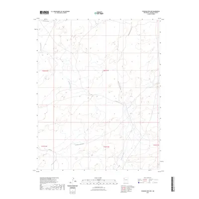
2020 Star Lake
McKinley County, NM
2020 Surrender Canyon
McKinley County, NM
2020 Tekapo
McKinley County, NM
2020 Thoreau NE
McKinley County, NM
2020 Tinian
McKinley County, NM
2020 Todilto Park
McKinley County, NM
2020 Toyee
McKinley County, NM
2020 Tse Bonita School
McKinley County, NM
2020 Twin Buttes
McKinley County, NM
2020 Upper Nutria
McKinley County, NM
2020 Vanderwagen Draw
McKinley County, NM
2020 Whitehorse
McKinley County, NM
2020 Whitehorse Rincon
McKinley County, NM
2020 Zuni
McKinley County, NM
2023 Ambrosia Lake
McKinley County, NM
2023 Antelope Lookout Mesa
McKinley County, NM
2023 Becenti Lake
McKinley County, NM
2023 Big Rock Hill
McKinley County, NM
2023 Bread Springs
McKinley County, NM
2023 Burned Timber Canyon
McKinley County, NM
2023 Canada Calladita
McKinley County, NM
2023 Casamero Lake
McKinley County, NM
2023 Cerro Alesna
McKinley County, NM
2023 Cerro Parido
McKinley County, NM
2023 Chi Chil Tah
McKinley County, NM
2023 Chuska Lake
McKinley County, NM
2023 Chuska Peak
McKinley County, NM
2023 Ciniza
McKinley County, NM
2023 Coyote Canyon
McKinley County, NM
2023 Coyote Canyon NW
McKinley County, NM
2023 Crevasse Canyon
McKinley County, NM
2023 Dalton Pass
McKinley County, NM
2023 Ear Rock
McKinley County, NM
2023 El Dado
McKinley County, NM
2023 El Dado Mesa
McKinley County, NM
2023 Gallup East
McKinley County, NM
2023 Gallup West
McKinley County, NM
2023 Goat Mountain
McKinley County, NM
2023 Hard Ground Flats
McKinley County, NM
2023 Heart Rock
McKinley County, NM
2023 Horsehead Canyon
McKinley County, NM
2023 Horsehead Canyon NW
McKinley County, NM
2023 Hospah
McKinley County, NM
2023 Hosta Butte
McKinley County, NM
2023 Jones Ranch School
McKinley County, NM
2023 Laguna Castillo
McKinley County, NM
2023 Laguna Seca
McKinley County, NM
2023 Mariano Lake
McKinley County, NM
2023 Mesa Cortada
McKinley County, NM
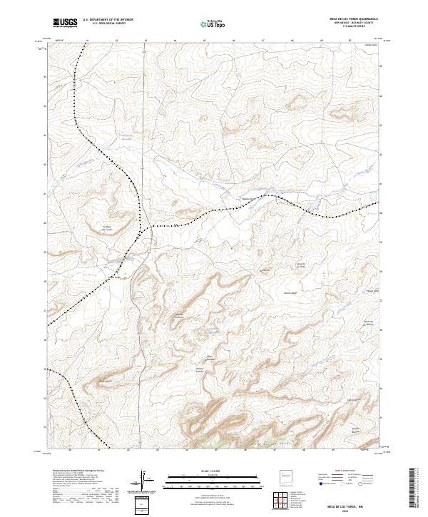
2023 Mesa De Los Toros
McKinley County, NM
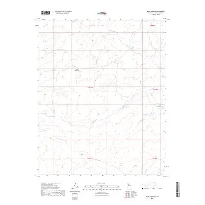
2023 Mesita Americana
McKinley County, NM
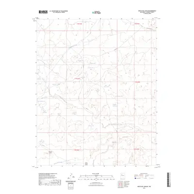
2023 Mesita Del Gavilan
McKinley County, NM
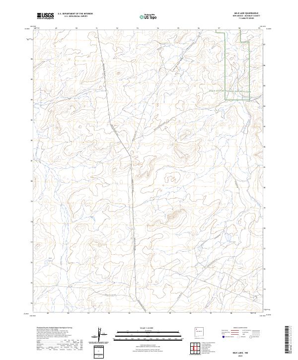
2023 Milk Lake
McKinley County, NM
2023 Nose Rock
McKinley County, NM
2023 Oak Spring
McKinley County, NM
2023 Ojo Encino Mesa
McKinley County, NM
2023 Orphan Annie Rock
McKinley County, NM
2023 Page
McKinley County, NM
2023 Pescado
McKinley County, NM
2023 Piedra De La Aguila
McKinley County, NM
2023 Pueblo Alto Trading Post
McKinley County, NM
2023 Red Lake Well
McKinley County, NM
2023 Rincon Marquez
McKinley County, NM

2023 Samson Lake
McKinley County, NM
2023 San Lucas Dam
McKinley County, NM
2023 Seven Lakes
McKinley County, NM
2023 Seven Lakes NE
McKinley County, NM
2023 Seven Lakes NW
McKinley County, NM
2023 Seven Lakes SE
McKinley County, NM
2023 Standing Rock
McKinley County, NM
2023 Standing Rock NW
McKinley County, NM
2023 Star Lake
McKinley County, NM
2023 Surrender Canyon
McKinley County, NM
2023 Tekapo
McKinley County, NM
2023 Thoreau NE
McKinley County, NM
2023 Tinian
McKinley County, NM
2023 Todilto Park
McKinley County, NM
2023 Toyee
McKinley County, NM
2023 Tse Bonita School
McKinley County, NM
2023 Twin Buttes
McKinley County, NM
2023 Upper Nutria
McKinley County, NM
2023 Vanderwagen Draw
McKinley County, NM
2023 Whitehorse
McKinley County, NM
2023 Whitehorse Rincon
McKinley County, NM
2023 Zuni
McKinley County, NM