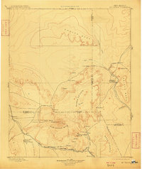
1899 Map of Mt. Taylor
USGS Topo · Published 1909About this map
Mt. Taylor dominates this 1883 survey, which documents the territory before New Mexico achieved statehood. The landscape is characterized by high plateaus and volcanic geography, including the extensive Lava Field and the San Mateo Mts. To the south, the Santa Fe Pacific Railroad follows the valley of the San Jose River, connecting a string of early settlements such as Cubero, San Jose, and Laguna.
Find a feature on this map
48 named features on this map. Tap any name to fly to it.
Don’t see what you’re looking for? This feature index may not catch every label — zoom into the map to look around manually.
Map Details
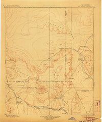
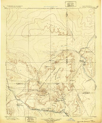
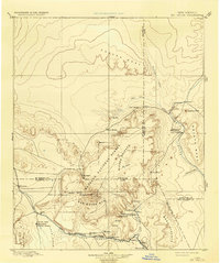
Editions of this 1899 Mt. Taylor Map
5 editions found

Other maps of this area

1883 · Mt. Taylor
USGS Topo · 1:250,000

1886 · Wingate
USGS Topo · 1:250,000

1886 · Mt. Taylor
USGS Topo · 1:250,000

1888 · Bernalillo
USGS Topo · 1:125,000

1889 · Albuquerque
USGS Topo · 1:125,000

1889 · Largo
USGS Topo · 1:250,000

1889 · Chaco
USGS Topo · 1:250,000

1890 · Jemes
USGS Topo · 1:125,000

1892 · Jemes
USGS Topo · 1:125,000

1892 · Wingate
USGS Topo · 1:250,000