
Loading...
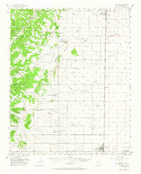
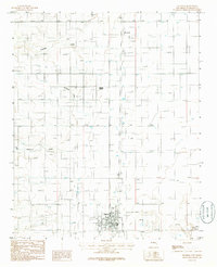
Loading map...1917 Map of Estancia
USGS Topo · Published 1917About this map
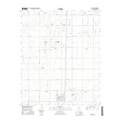
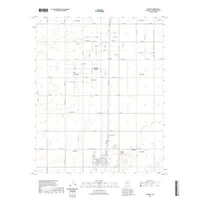
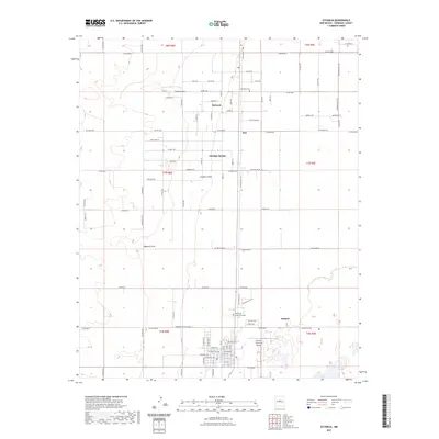
Manzano National Forest and a series of expansive Spanish and Mexican land grants dominate the western landscape of this 1917 reconnaissance survey. The map details the transition from the high elevations of Bosque Peak and Mosca Peak down into the Estancia Valley, where the New Mexico Central railroad connects the agricultural hubs of Moriarty, McIntosh, and Estancia.
Find a feature on this map
48 named features on this map. Tap any name to fly to it.
Don’t see what you’re looking for? This feature index may not catch every label — zoom into the map to look around manually.
Map Details
Date Portrayed1917
Date Published1917
PublisherU.S. Geological Survey
Map TypeTopographic
Scale1:125,000
Physical Dimensions17.6 x 21.5 inches
Editions of this 1917 Estancia Map
This is the sole edition of this map. No revisions or reprints were ever made.
Historical Maps of Moriarty Through Time
8 maps found
Featured Locations
Source Details
SourceU.S. Geological Survey
CopyrightPublic Domain