Loading...
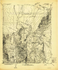
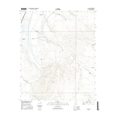
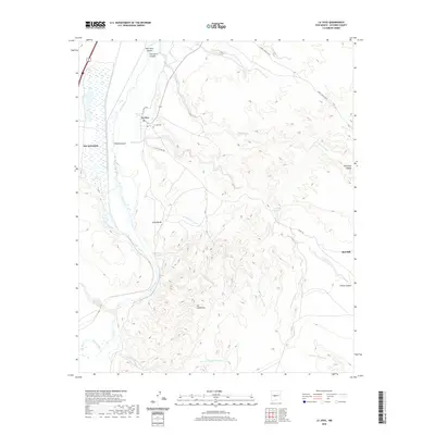
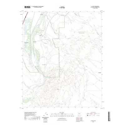
Loading map...1916 Map of La Joya
USGS Topo · Published 1916About this map
The Rio Grande valley and its confluence with the Rio Puerco define this central New Mexico landscape during a period of significant railway development. The map prominently features the Belen Grant, Casa Colorado Grant, and Sevilleta Grant, highlighting the lingering boundaries of early Spanish land grants. Strategic transportation routes are evident along the A. T. & S. F. R. R. (Belen Cut Off), which skirts the Valencia Socorro County Line near the settlement of Becker.
Find a feature on this map
22 named features on this map. Tap any name to fly to it.
Don’t see what you’re looking for? This feature index may not catch every label — zoom into the map to look around manually.
Map Details
Date Portrayed1916
Date Published1916
PublisherU.S. Geological Survey
Map TypeTopographic
Scale1:125,000
Physical Dimensions17.5 x 21 inches
Editions of this 1916 La Joya Map
This is the sole edition of this map. No revisions or reprints were ever made.
Historical Maps of Socorro Through Time
7 maps found
Featured Locations
Source Details
SourceU.S. Geological Survey
CopyrightPublic Domain