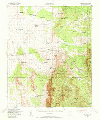
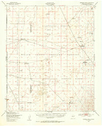
1948 Map of Bingham
USGS Topo · Published 1954About this map
The Oscura Mountains and Chupadera Mesa define this high-desert landscape during a pivotal transition in New Mexico's history. By the late 1940s, traditional ranching and mining operations were increasingly overshadowed by federal defense needs. The southern half of the map is dominated by the White Sands Proving Ground and the Alamogordo Bombing Range, areas that forever changed the character of the region.
Find a feature on this map
85 named features on this map. Tap any name to fly to it.
Don’t see what you’re looking for? This feature index may not catch every label — zoom into the map to look around manually.
Map Details
Editions of this 1948 Bingham Map
This is the sole edition of this map. No revisions or reprints were ever made.
Other maps of this area
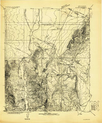
1916 · La Joya
USGS Topo · 1:125,000

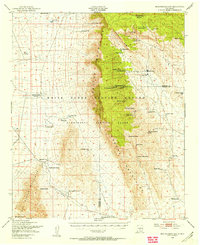
1918 · Oscura Peak
USGS Topo · 1:125,000
1948 · Carthage
USGS Topo · 1:62,500
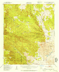
1948 · Broken Back Crater
USGS Topo · 1:62,500
1948 · Granjean Well
USGS Topo · 1:62,500

1948 · Chihuahua Ranch
USGS Topo · 1:62,500
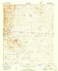
1948 · Mockingbird Gap
USGS Topo · 1:62,500

1954 · Tularosa
USGS Topo · 1:250,000

1954 · Socorro
USGS Topo · 1:250,000

1958 · Socorro
USGS Topo · 1:250,000