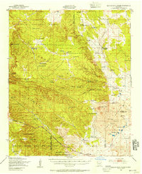
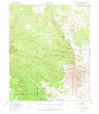
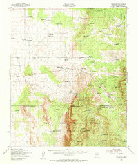
1948 Map of Broken Back Crater
USGS Topo · Published 1954About this map
White Sands Proving Ground and the Alamogordo Bombing Range dominate the southern landscape of this 1948 survey, reflecting the mid-century expansion of military testing grounds in the high desert. The terrain transitions from the volcanic geology of the Malpais and the namesake Broken Back Crater in the east to the high slopes of Chupadera Mesa. Sparse ranching operations such as Ratcliff Ranch, Gallagher Ranch, and Harvey Ranch Headquarters define the human footprint, relying on a complex network of man-made water sources like School Section Well and Lobo Tank. The map captures a moment when traditional land use in the Cibola National Forest began to intersect with the strategic needs of the Ordnance California Institute of Technology at the dawn of the Cold War.
Find a feature on this map
66 named features on this map. Tap any name to fly to it.
Don’t see what you’re looking for? This feature index may not catch every label — zoom into the map to look around manually.
Map Details
Editions of this 1948 Broken Back Crater Map
2 editions found
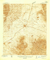
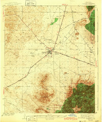
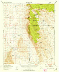
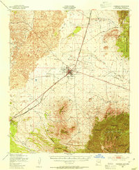
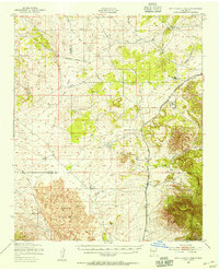
Other maps of this area

1918 · Oscura Peak
USGS Topo · 1:125,000
1938 · Carrizozo
USGS Topo · 1:48,000
1943 · Carrizozo
USGS Topo · 1:62,500
1948 · Bingham
USGS Topo · 1:62,500

1948 · Chihuahua Ranch
USGS Topo · 1:62,500
1948 · Mockingbird Gap
USGS Topo · 1:62,500
1950 · Carrizozo
USGS Topo · 1:62,500
1950 · Little Black Peak
USGS Topo · 1:62,500

1954 · Tularosa
USGS Topo · 1:250,000

1954 · Fort Sumner
USGS Topo · 1:250,000