1938 Map of Carrizozo
USGS Topo · Published 1938About this map
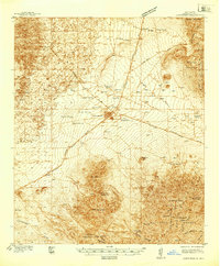
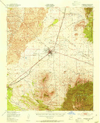
Carrizozo sits at a critical rail-and-road junction in Lincoln County, as documented in this 1938 survey by Glenn S. Smith. The map reveals a landscape defined by water scarcity and resource extraction, punctuated by numerous wells and the presence of Degners Mine. To the north lies White Oaks, connected by the White Oaks Road which passes through White Oaks Draw. The era’s civic development is visible in the CCC Camp and the Carrizozo Country Club located just outside the main town site.
Find a feature on this map
44 named features on this map. Tap any name to fly to it.
Don’t see what you’re looking for? This feature index may not catch every label — zoom into the map to look around manually.
Map Details
Editions of this 1938 Carrizozo Map
This is the sole edition of this map. No revisions or reprints were ever made.
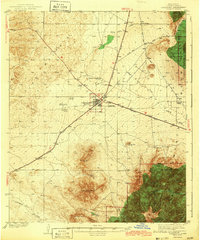
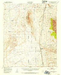
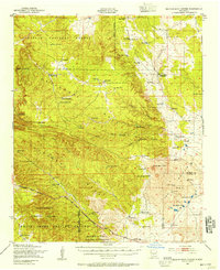
Other maps of this area

1916 · Tularosa
USGS Topo · 1:125,000

1918 · Oscura Peak
USGS Topo · 1:125,000

1934 · Capitan
USGS Topo · 1:48,000

1937 · Capitan
USGS Topo · 1:62,500
1943 · Carrizozo
USGS Topo · 1:62,500
1947 · Three Rivers
USGS Topo · 1:62,500
1948 · Broken Back Crater
USGS Topo · 1:62,500

1948 · Chihuahua Ranch
USGS Topo · 1:62,500

1950 · Oscura
USGS Topo · 1:24,000
1950 · Carrizozo
USGS Topo · 1:62,500