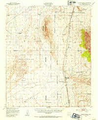
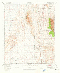
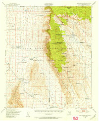
1947 Map of Three Rivers
USGS Topo · Published 1954About this map
The Southern Pacific railroad cuts a north-south line through this high desert landscape, connecting small sidings and family ranch holds before the intensification of regional military operations. This mid-century survey records the overlap of traditional ranching and the emerging defense infrastructure of the White Sands Proving Ground and Alamogordo Bombing Range. The terrain is dominated by the volcanic expanse of The Malpais to the west and the rising slopes of the Godfrey Hills in the center.
Find a feature on this map
34 named features on this map. Tap any name to fly to it.
Don’t see what you’re looking for? This feature index may not catch every label — zoom into the map to look around manually.
Map Details
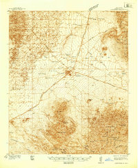
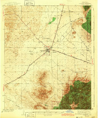
Editions of this 1947 Three Rivers Map
2 editions found
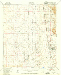
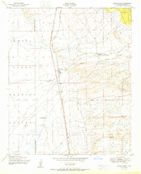
Other maps of this area

1916 · Tularosa
USGS Topo · 1:125,000

1918 · Oscura Peak
USGS Topo · 1:125,000
1938 · Carrizozo
USGS Topo · 1:48,000
1943 · Carrizozo
USGS Topo · 1:62,500

1947 · Capitol Peak
USGS Topo · 1:62,500

1948 · Chihuahua Ranch
USGS Topo · 1:62,500
1948 · Mockingbird Gap
USGS Topo · 1:62,500

1948 · Lumley Lake
USGS Topo · 1:62,500
1948 · Tularosa
USGS Topo · 1:62,500
1950 · Three Rivers
USGS Topo · 1:24,000