
1934 Map of Capitan
USGS Topo · Published 1934About this map
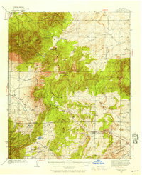
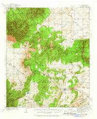
Capitan and the high mountain landscape of Lincoln County define this 1934 topographic survey, which documents a complex high-desert and mountainous geography. The map captures the area before modern development, showing established settlements like White Oaks and Nogal connected by the Southern Pacific Highway. Significant topographic features include the Patos Mtn, Carrizo Mtn, and the Vera Cruz Mts, which dominate the central and northern sections.
Find a feature on this map
29 named features on this map. Tap any name to fly to it.
Don’t see what you’re looking for? This feature index may not catch every label — zoom into the map to look around manually.
Map Details
Editions of this 1934 Capitan Map
3 editions found
Other maps of this area

1935 · Capitan Mountains
USGS Topo · 1:48,000

1937 · Capitan
USGS Topo · 1:62,500

1938 · Carrizozo
USGS Topo · 1:48,000

1940 · Capitan Mountains
USGS Topo · 1:62,500

1943 · Carrizozo
USGS Topo · 1:62,500

1950 · Carrizozo
USGS Topo · 1:62,500

1950 · Little Black Peak
USGS Topo · 1:62,500

1950 · Sierra Blanca Peak
USGS Topo · 1:62,500

1955 · Roswell
USGS Topo · 1:250,000

1958 · Roswell
USGS Topo · 1:250,000