
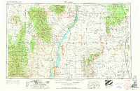
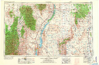
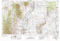
1954 Map of Tularosa
USGS Topo · Published 1963About this map
The Rio Grande valley and the expansive basins of south-central New Mexico are depicted here during a period of significant military and infrastructure development. The Elephant Butte Reservoir and Caballo Reservoir dominate the central landscape, providing a stark contrast to the surrounding desert terrain and the peaks of the San Mateo Mountains and San Andres Mountains. This mid-century survey documents the transition of several historical settlements, marking San Marcial and Val Verde as abandoned locations while noting the growth of Truth or Consequences. Large portions of the eastern terrain are dedicated to the Alamogordo Bombing Range and the White Sands Proving Ground, reflecting the region's Cold War importance. Strategic transport is anchored by the Atchison Topeka and Santa Fe Railway, which parallels the river, connecting remote outposts like Pope Siding and Cutter to larger regional hubs like Tularosa.
Find a feature on this map
146 named features on this map. Tap any name to fly to it.
Don’t see what you’re looking for? This feature index may not catch every label — zoom into the map to look around manually.
Map Details
Editions of this 1954 Tularosa Map
4 editions found
Other maps of this area

1906 · Socorro
USGS Topo · 1:62,500

1909 · Silver City
USGS Topo · 1:125,000

1911 · Alum Mountain
USGS Topo · 1:125,000

1913 · Alum Mountain
USGS Topo · 1:125,000

1916 · La Joya
USGS Topo · 1:125,000

1916 · Tonuco
USGS Topo · 1:125,000

1916 · Salinas Peak
USGS Topo · 1:125,000

1916 · Tularosa
USGS Topo · 1:125,000

1916 · Point Of Sands
USGS Topo · 1:125,000

1918 · Pelona
USGS Topo · 1:125,000