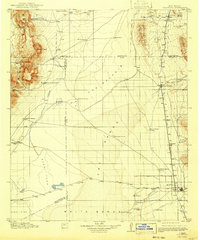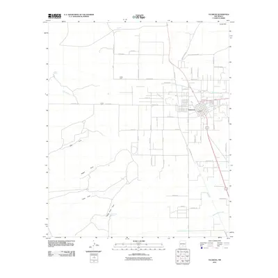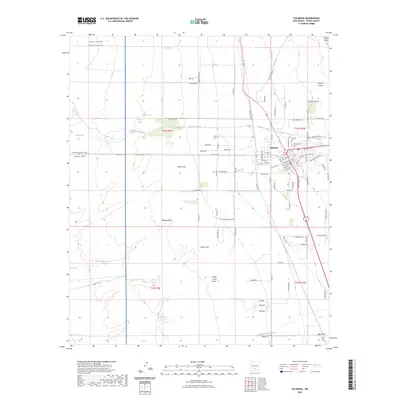
1954 Map of Tularosa
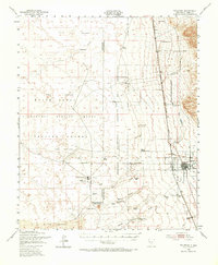
USGS Topo · Published 1973About this map
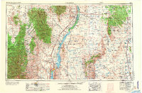
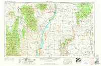
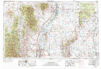
Truth or Consequences serves as a primary hub in this mid-century New Mexico landscape, situated near the massive waters of Elephant Butte State Park along the Rio Grande. This period shows the vast expansion of the White Sands Missile Range dominating the eastern basins, contrasting with the high wilderness of the Continental Divide and Cibola National Forest to the west. The map records several significant historical locations, including the Fort Craig (site) and Fort McRae (site), reflecting the military and frontier history of the valley. Transportation networks are well-defined, featuring the Atchison Topeka and Santa Fe RR following the river and the Southern Pacific RR skirting the Oscura Mountains. These rail lines supported remote settlements like Bingham and Oscura during an era of significant cold-war military activity and transitioning ranching economies.
Find a feature on this map
142 named features on this map. Tap any name to fly to it.
Don’t see what you’re looking for? This feature index may not catch every label — zoom into the map to look around manually.
Map Details
Editions of this 1954 Tularosa Map
4 editions found

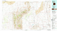
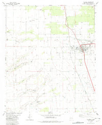
Historical Maps of Truth or Consequences Through Time
10 maps found