
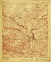
1913 Map of Alum Mountain
USGS Topo · Published 1913About this map
Gila Cliff Dwellings National Monument stands as a focal point in this high-altitude landscape, where the Gila River and its numerous forks carve through the terrain of the Datil National Forest and Gila National Forest. The geography is defined by a network of isolated ranches and line cabins that supported early twentieth-century cattle operations, including the V Cross T Headquarters, XSX Ranch, and T Bar Ranch.
Find a feature on this map
95 named features on this map. Tap any name to fly to it.
Don’t see what you’re looking for? This feature index may not catch every label — zoom into the map to look around manually.
Map Details
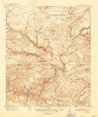
Editions of this 1913 Alum Mountain Map
3 editions found
Other maps of this area

1909 · Silver City
USGS Topo · 1:125,000

1910 · Mogollon
USGS Topo · 1:125,000

1911 · Alum Mountain
USGS Topo · 1:125,000

1912 · Mogollon
USGS Topo · 1:125,000

1915 · Reserve
USGS Topo · 1:125,000

1918 · Pelona
USGS Topo · 1:125,000

1918 · Reserve
USGS Topo · 1:125,000

1947 · Allie Canyon
USGS Topo · 1:24,000

1947 · Twin Sisters
USGS Topo · 1:24,000

1948 · Twin Sisters
USGS Topo · 1:24,000