
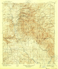
1912 Map of Mogollon
USGS Topo · Published 1912About this map
Mogollon and the high peaks of the Mule Mountains dominate this early twentieth-century survey of southwestern New Mexico. The landscape is defined by the transition from the river valleys of the San Francisco River and Gila River to the towering heights of Whitewater Baldy and Center Baldy. In this era, the mining settlement at Cooney and the nearby Power Plant at Graham represent the industrial reach into the steep canyons of the Gila National Forest.
Find a feature on this map
92 named features on this map. Tap any name to fly to it.
Don’t see what you’re looking for? This feature index may not catch every label — zoom into the map to look around manually.
Map Details
Editions of this 1912 Mogollon Map
2 editions found
Other maps of this area

1909 · Silver City
USGS Topo · 1:125,000

1910 · Mogollon
USGS Topo · 1:125,000

1911 · Alum Mountain
USGS Topo · 1:125,000

1913 · Alum Mountain
USGS Topo · 1:125,000

1913 · Morenci
USGS Topo · 1:125,000

1915 · Morenci
USGS Topo · 1:125,000

1915 · Reserve
USGS Topo · 1:125,000

1918 · Pelona
USGS Topo · 1:125,000

1918 · Reserve
USGS Topo · 1:125,000

1922 · Nutrioso
USGS Topo · 1:125,000