
Loading...
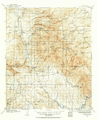
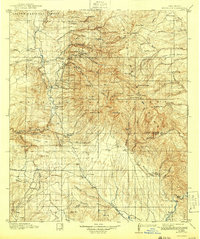
Loading map...1910 Map of Mogollon
USGS Topo · Published 1959About this map
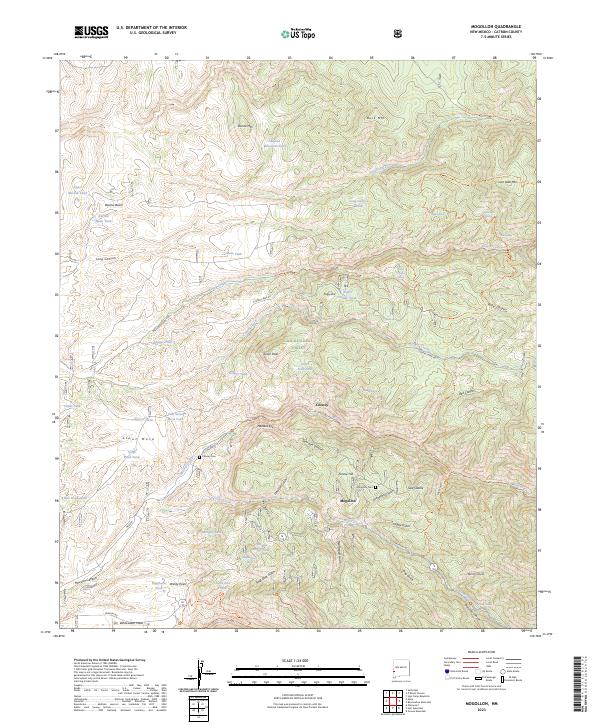
Mogollon and the surrounding high country of the Mogollon Mountains are shown here during a peak era of mineral extraction and early ranching. The map details a complex network of industrial and transport features, including the Power Plant near Graham and the Meader Stage Sta along the trails. Significant mining interest is evident in the proximity of Cooney and the steep drainages of Mineral Creek and Silver Creek.
Find a feature on this map
103 named features on this map. Tap any name to fly to it.
Don’t see what you’re looking for? This feature index may not catch every label — zoom into the map to look around manually.
Map Details
Date Portrayed1910
Date Published1959
PublisherU.S. Geological Survey
Map TypeTopographic
Scale1:125,000
Physical Dimensions17 x 20.7 inches
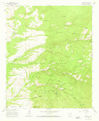
Editions of this 1910 Mogollon Map
2 editions found
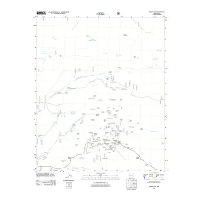
Historical Maps of Claremont Through Time
9 maps found

Featured Locations
Source Details
SourceU.S. Geological Survey
CopyrightPublic Domain