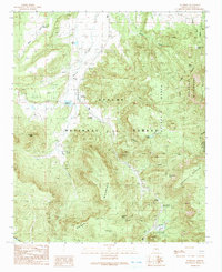
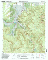
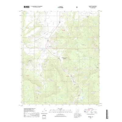
1922 Map of Nutrioso
USGS Topo · Published 1922About this map
Nutrioso and Alpine anchor this early 1920s survey of the high-elevation terrain where the Arizona-New Mexico line meets the Fort Apache Indian Reservation. Compiled from U.S. Forest Service records, the map documents the Apache National Forest during a period of active land management and ranching. The landscape is dotted with family-named outposts and water features, including Colter's Res. and Reservation Ranch, indicating the vital role of water rights and livestock in the local economy.
Find a feature on this map
27 named features on this map. Tap any name to fly to it.
Don’t see what you’re looking for? This feature index may not catch every label — zoom into the map to look around manually.
Map Details
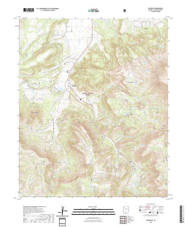
Editions of this 1922 Nutrioso Map
This is the sole edition of this map. No revisions or reprints were ever made.
Historical Maps of Alpine Through Time
8 maps found