
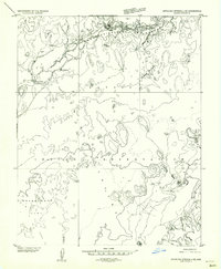
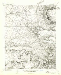
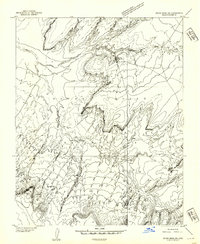
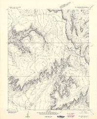
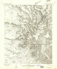
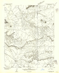
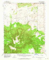
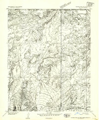
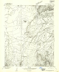
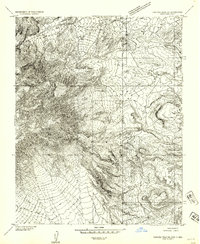
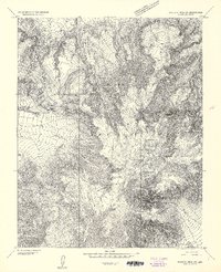
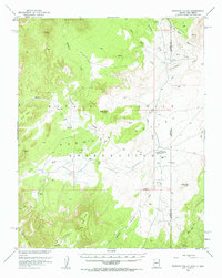
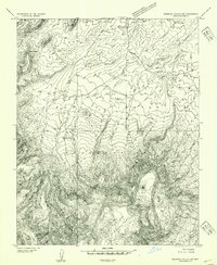
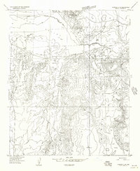
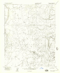
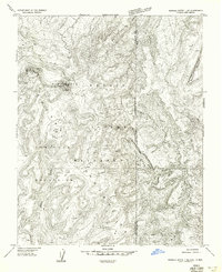
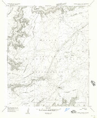
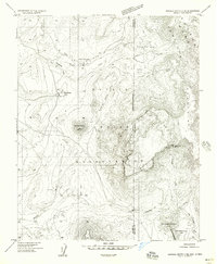
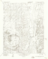
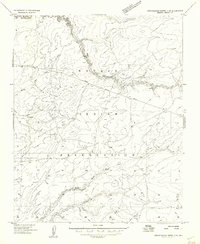
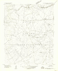
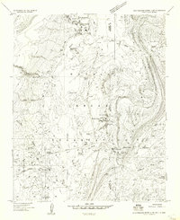
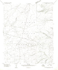
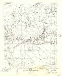
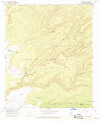
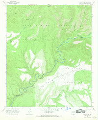
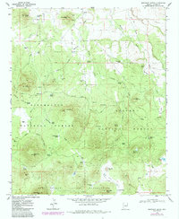
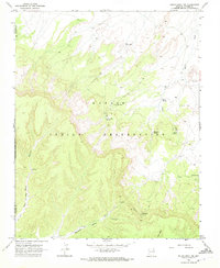
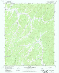
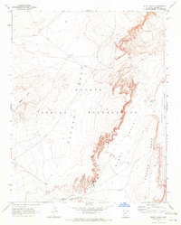
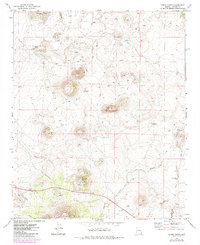
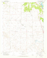
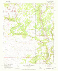
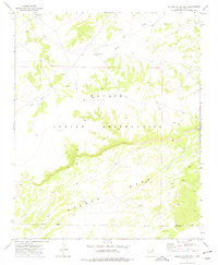
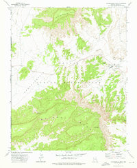
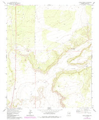
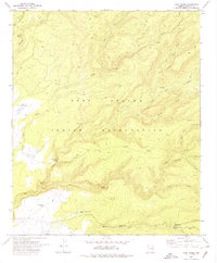
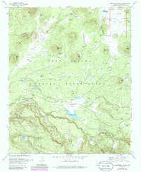
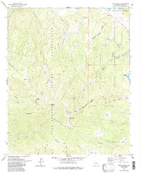
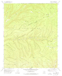
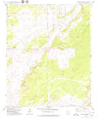
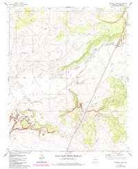
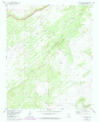
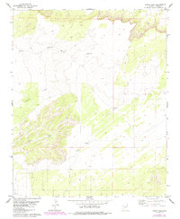
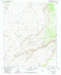
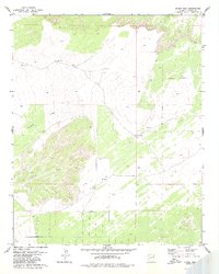
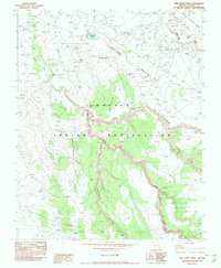
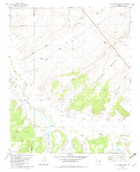
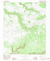
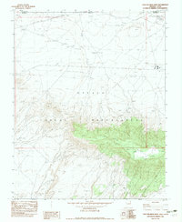
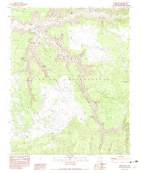
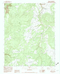
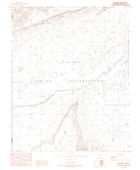
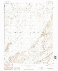
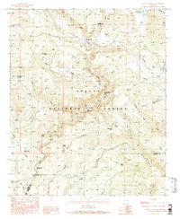
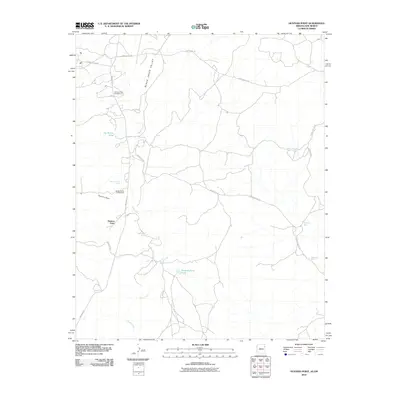
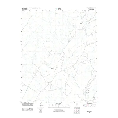
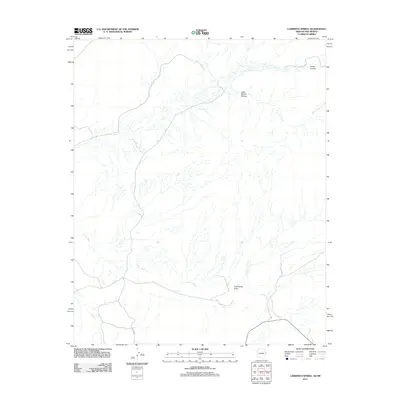
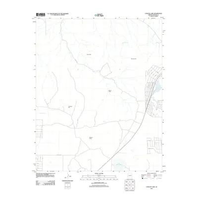
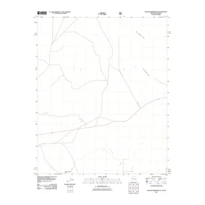
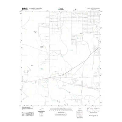
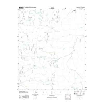
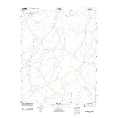
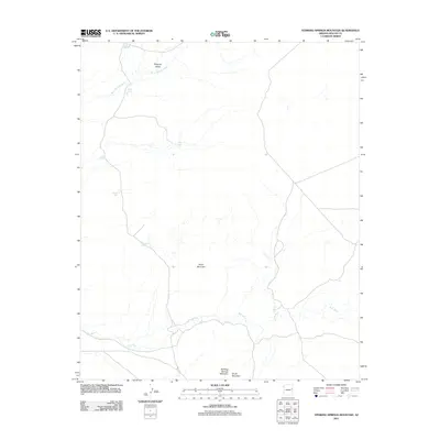
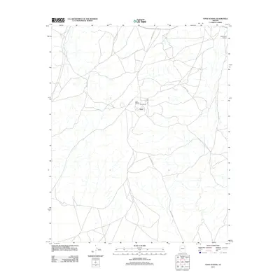
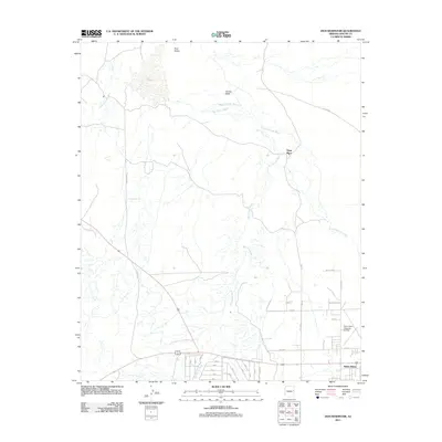
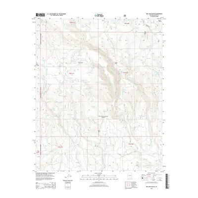
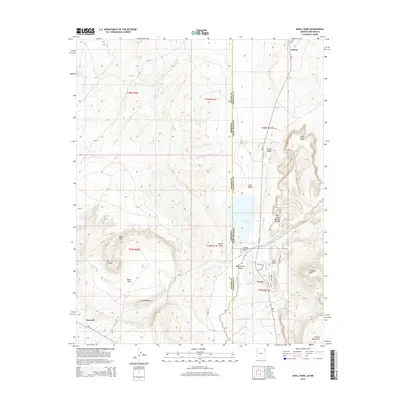
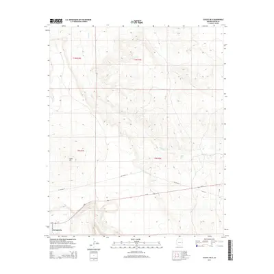
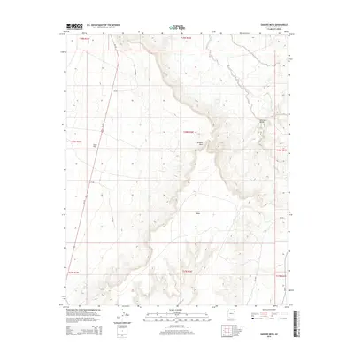
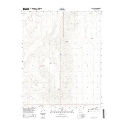
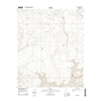
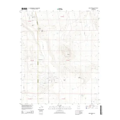
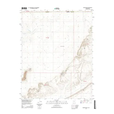
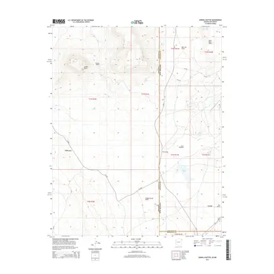
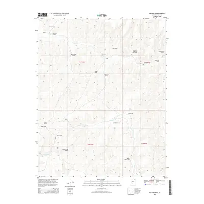
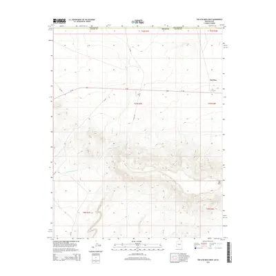
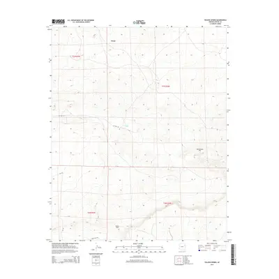
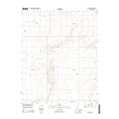
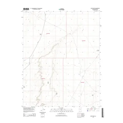
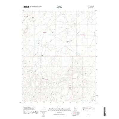
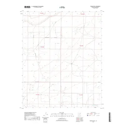
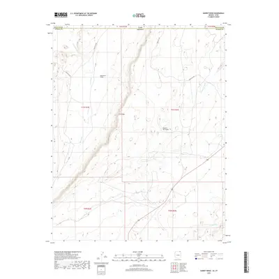
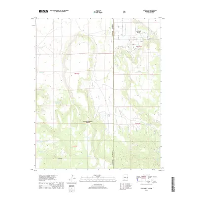
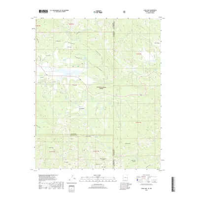
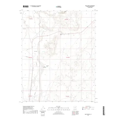
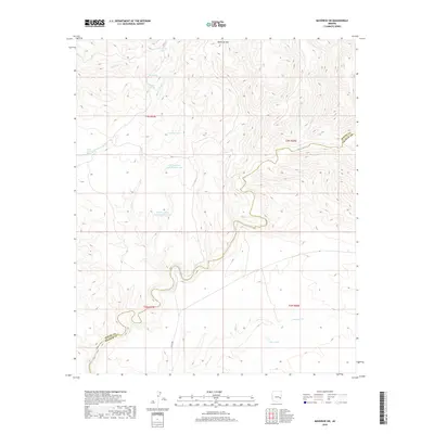
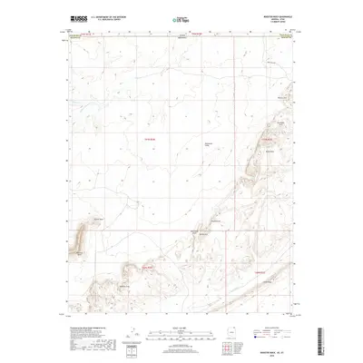
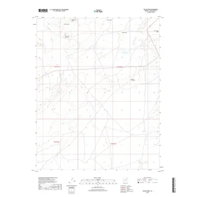
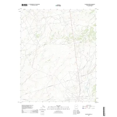
1892 Map of St Johns
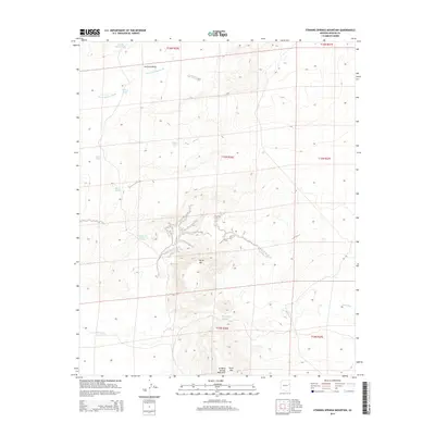
USGS Topo · Published 1892About this map
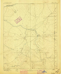
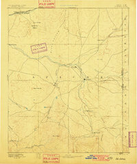
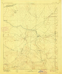
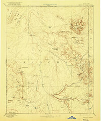
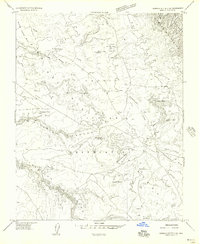
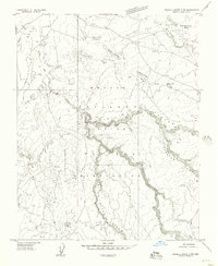
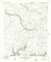
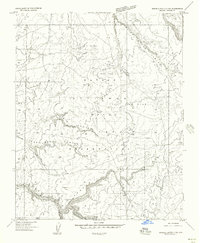
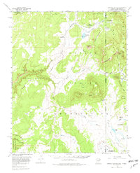
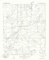
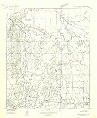
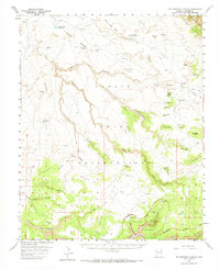
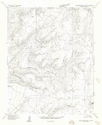
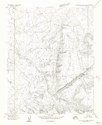
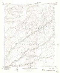
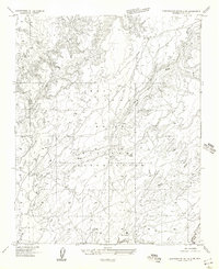
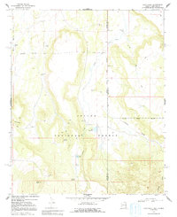
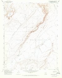
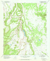
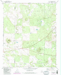
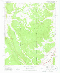
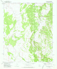
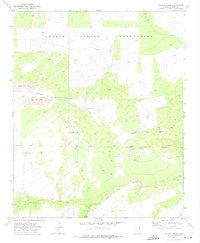
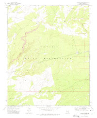
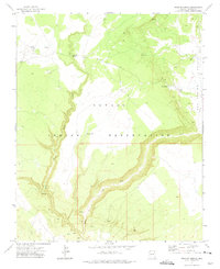
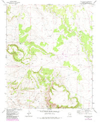
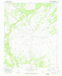
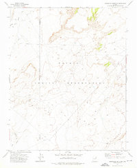
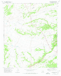
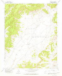
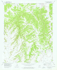
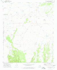
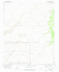
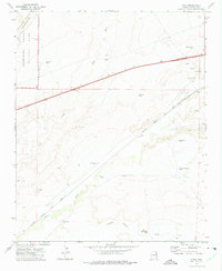
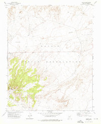
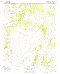
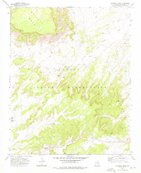
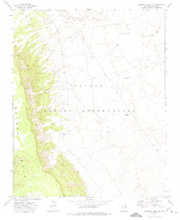
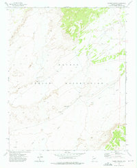
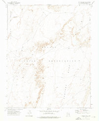
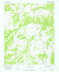
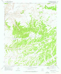
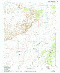
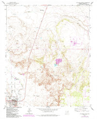
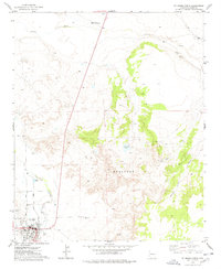
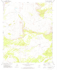
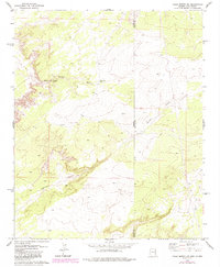
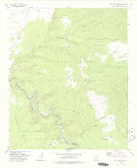
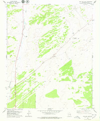
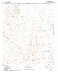
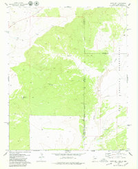
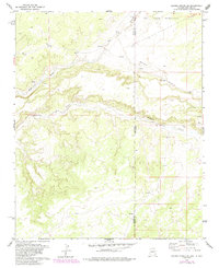
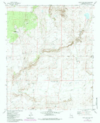
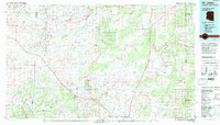
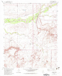
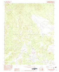
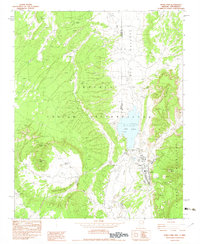
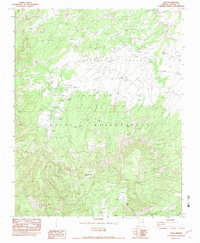
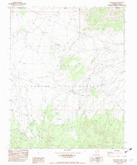
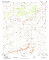
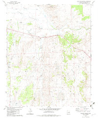
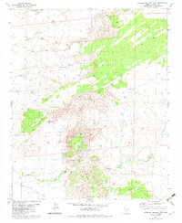
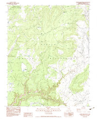
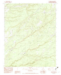
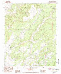
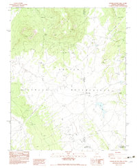
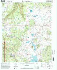
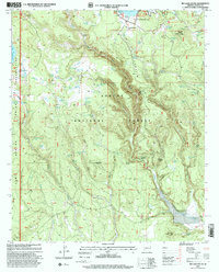
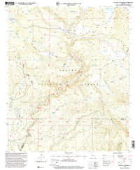
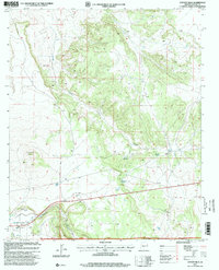
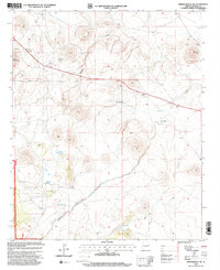
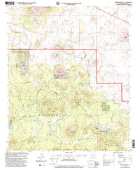
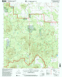
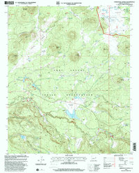
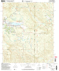
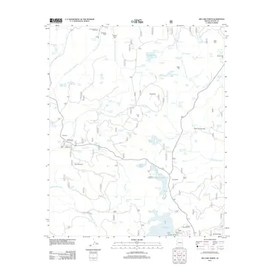
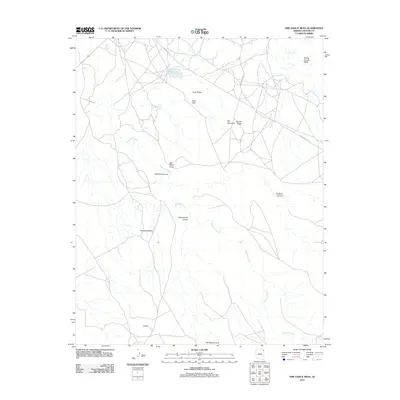
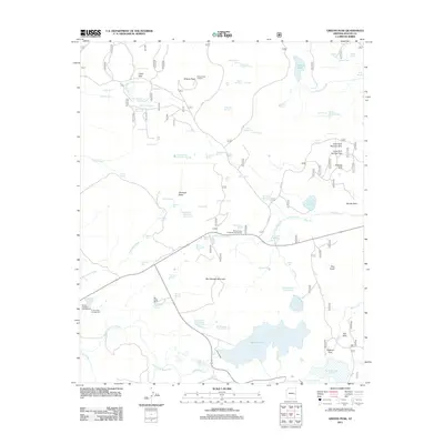
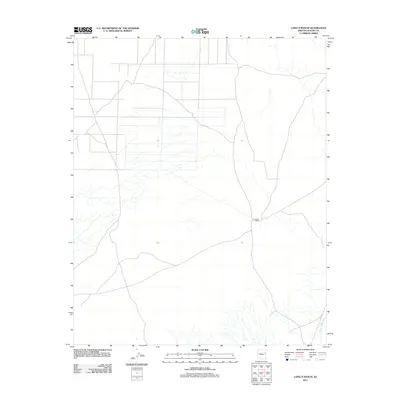
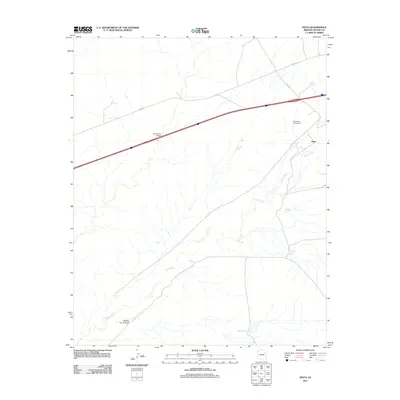
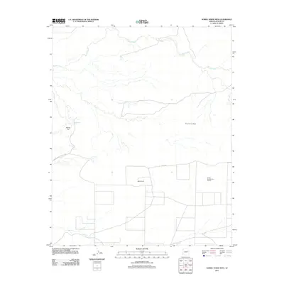
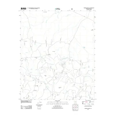
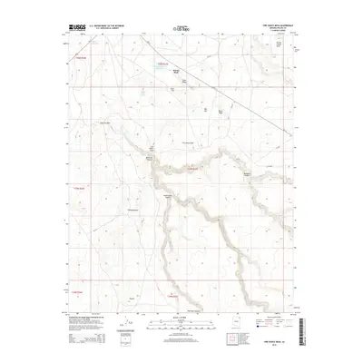
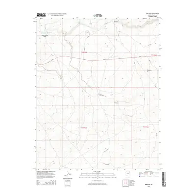
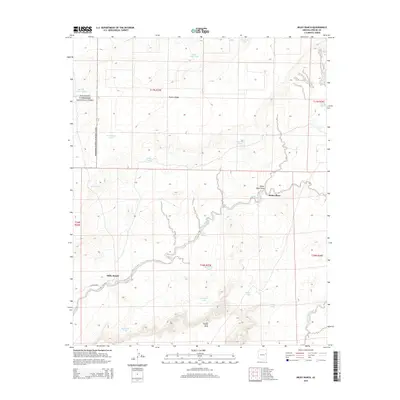
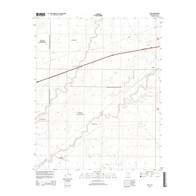
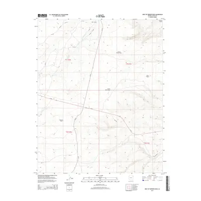
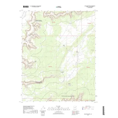
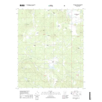
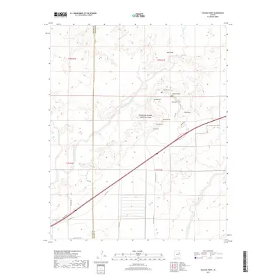
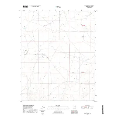
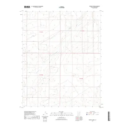
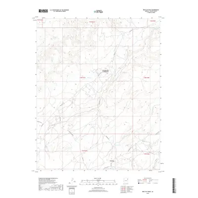
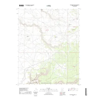
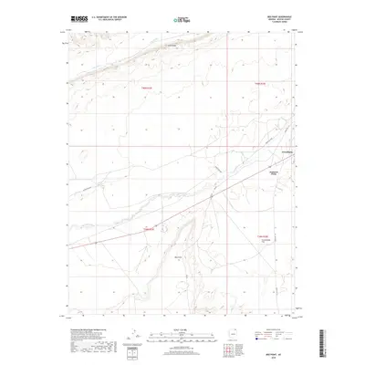
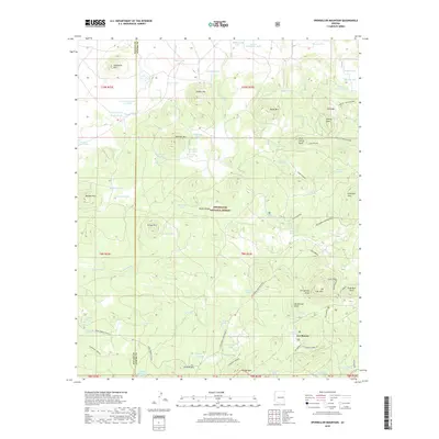
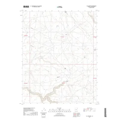
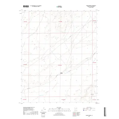
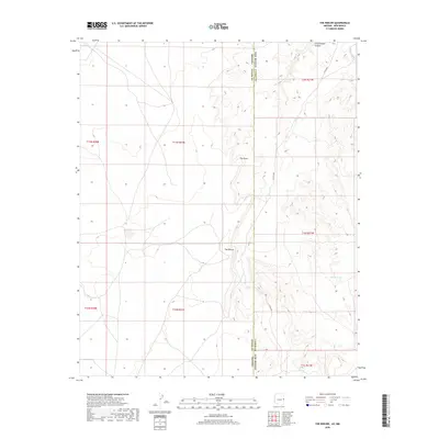
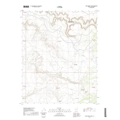
St Johns serves as a central hub in the high desert of eastern Arizona, situated at the confluence of several regional trails and the Little Colorado River. This 1880s survey captures a landscape of early cattle ranching and remote outposts just after the arrival of the Atlantic and Pacific Railroad to the north. The map reveals the early development of Springerville and Concho, alongside now-obscure locations such as Erastus and Mineral. Notable natural landmarks include the Petrified Forest and its Natural Bridge, while the southern reaches of the sheet are dominated by the high elevations of Green Peak. The drainage patterns of the Zuni River and Puerco River illustrate the vital water sources that dictated the placement of settlements like The Meadows and Walnut Grove in this arid territory.
Find a feature on this map
36 named features on this map. Tap any name to fly to it.
Don’t see what you’re looking for? This feature index may not catch every label — zoom into the map to look around manually.
Map Details
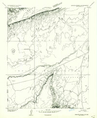
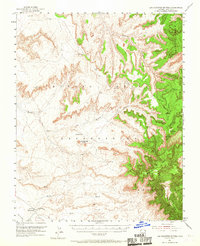
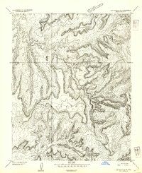
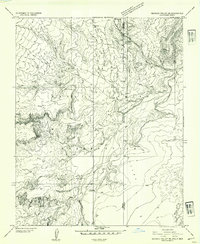
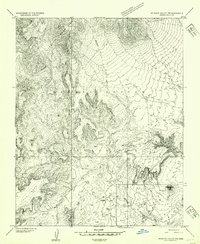
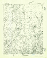
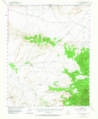
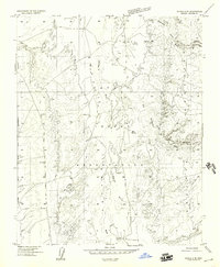
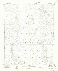
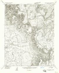
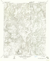
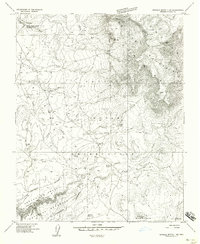
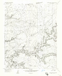
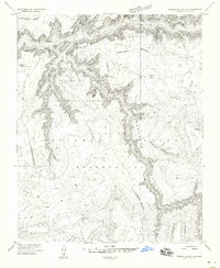
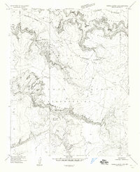
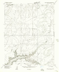
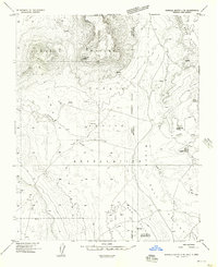
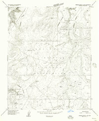
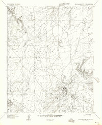
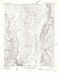
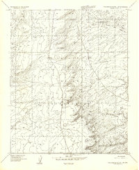
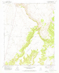
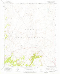
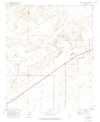
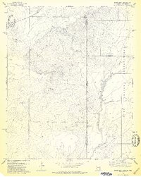
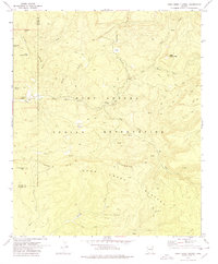
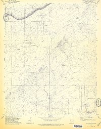
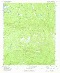
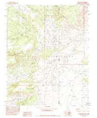
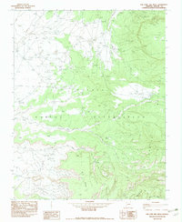
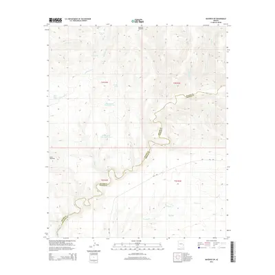
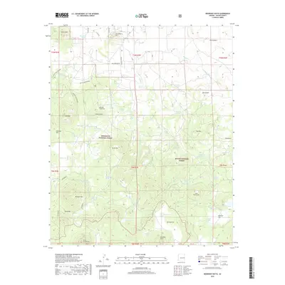
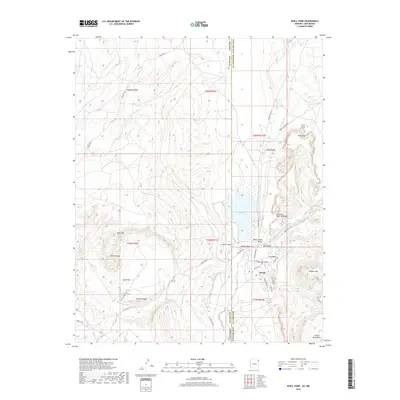
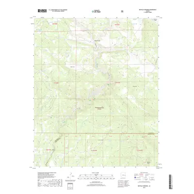
Editions of this 1892 St Johns Map
5 editions found
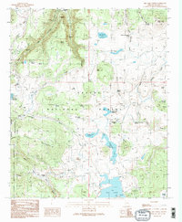
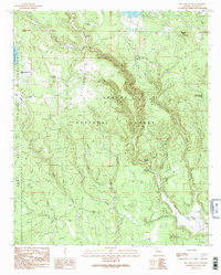
Historical Maps of Show Low Through Time
977 maps found

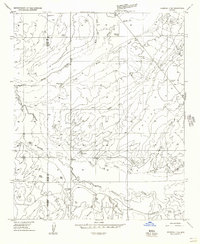
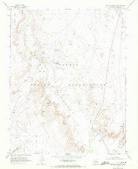
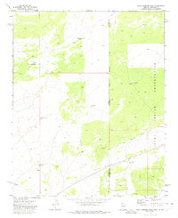
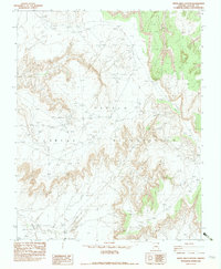
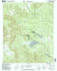
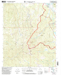
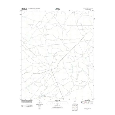
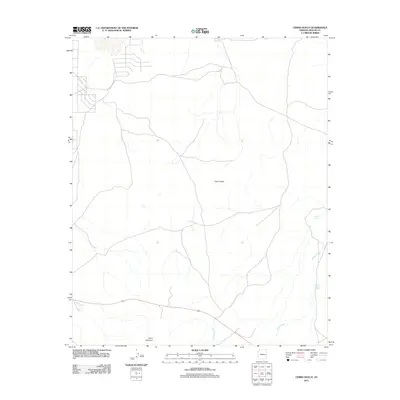
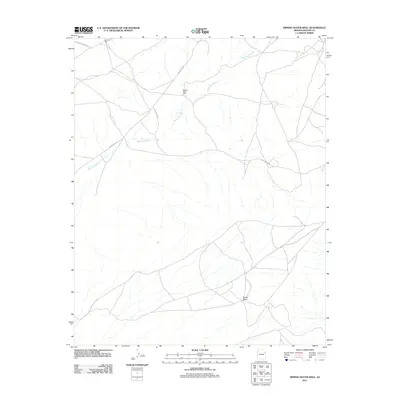
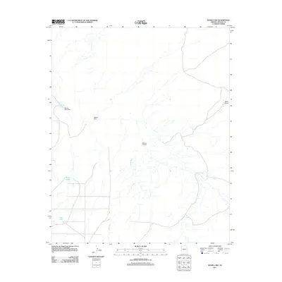
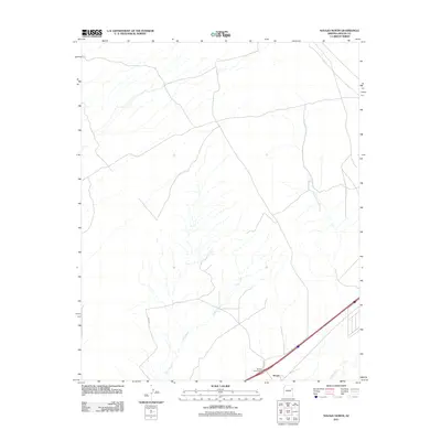
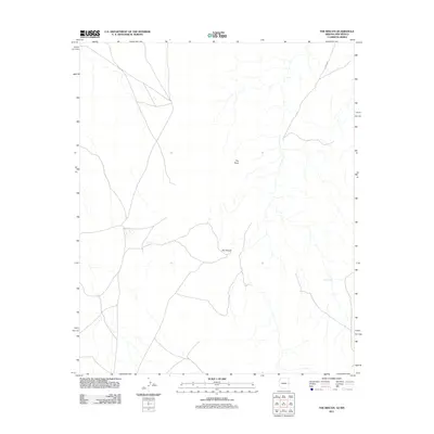
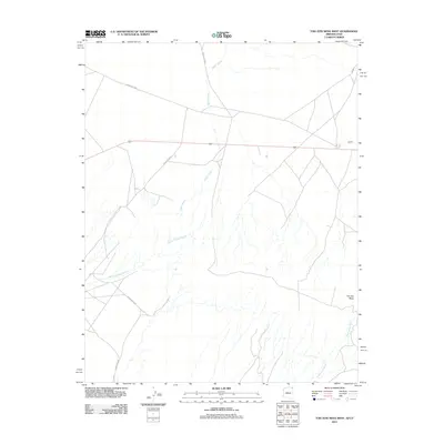
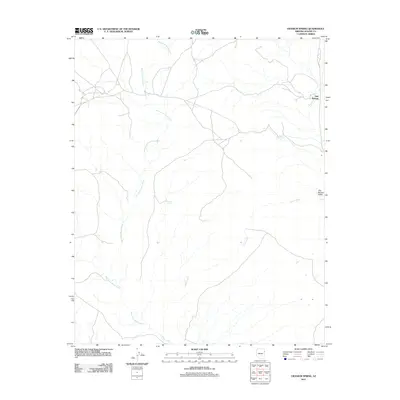
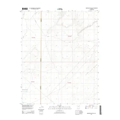
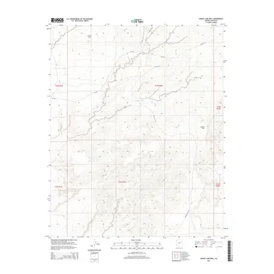
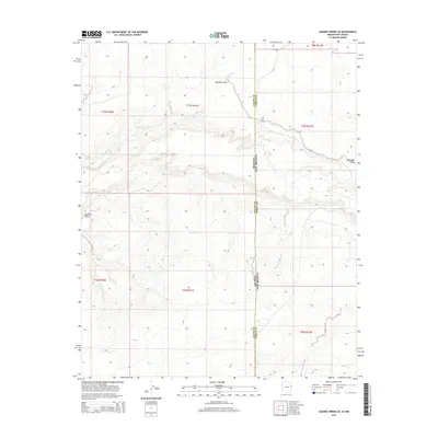
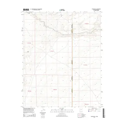
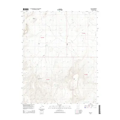
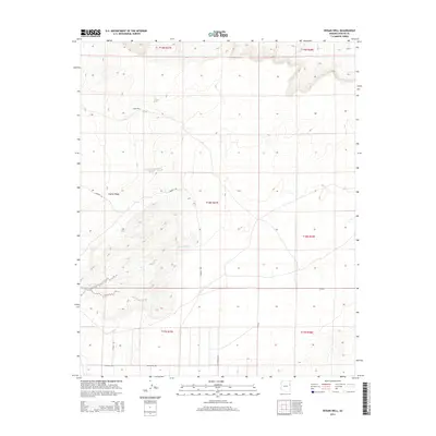
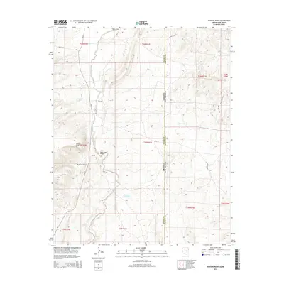
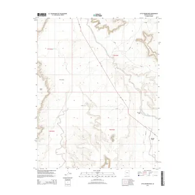
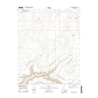
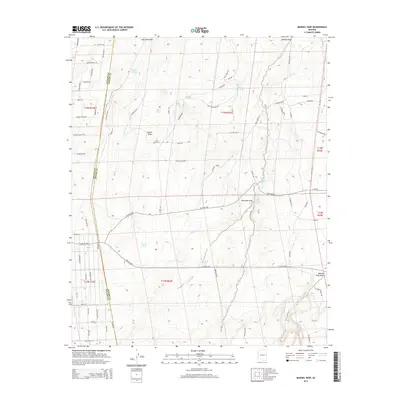
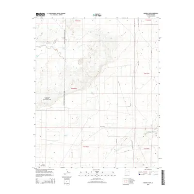
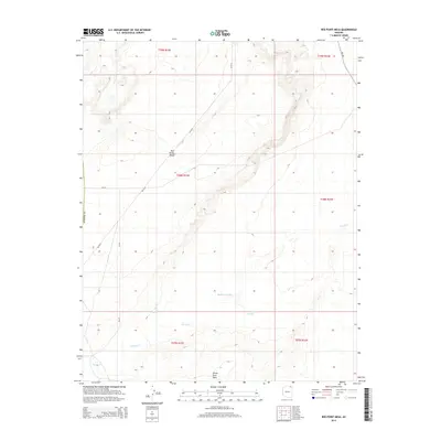
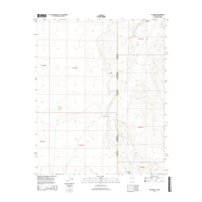
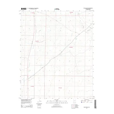
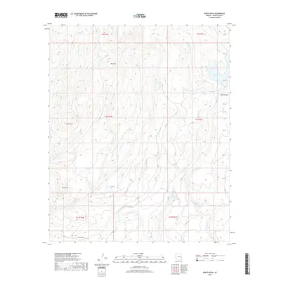
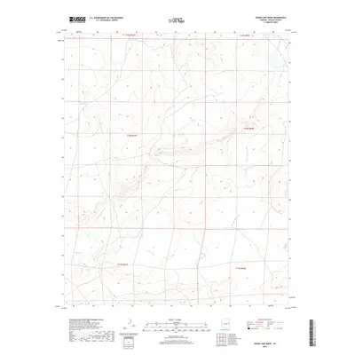
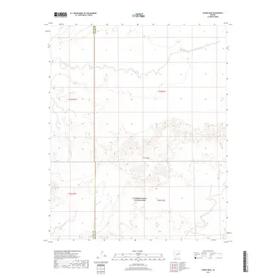
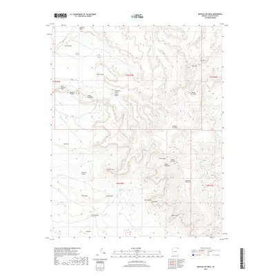
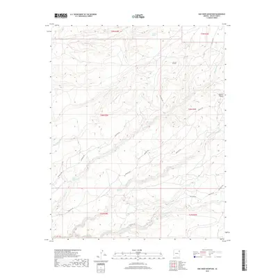
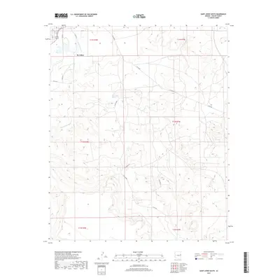
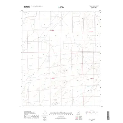
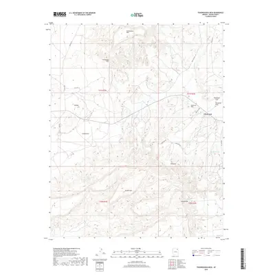
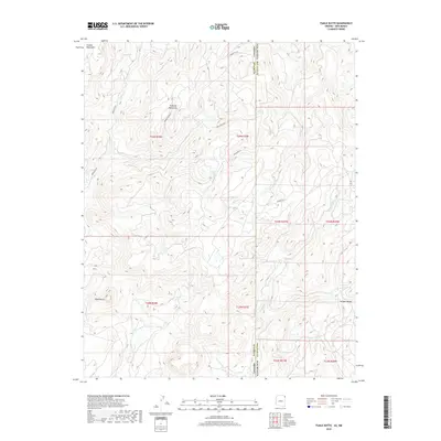
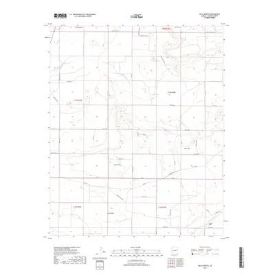
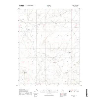
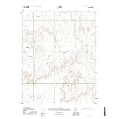
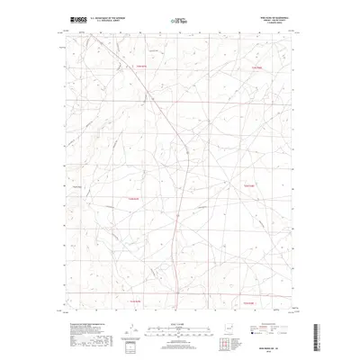
1886 St Johns
Apache County, AZ
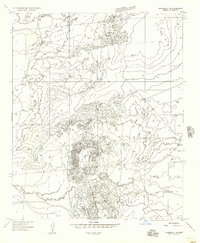
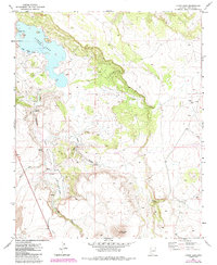
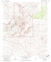
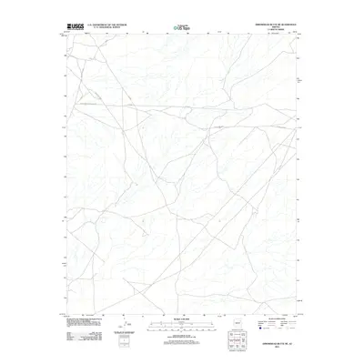
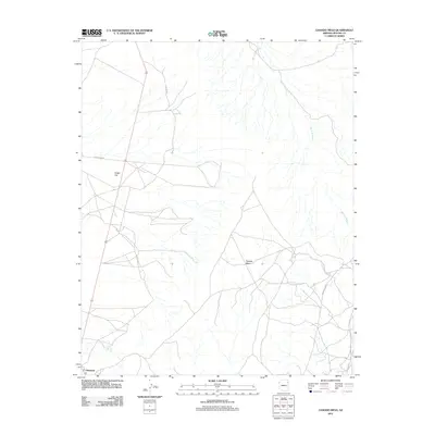
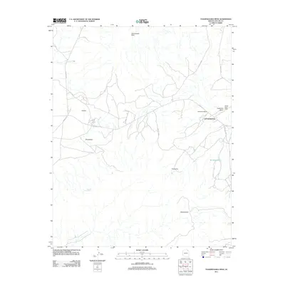
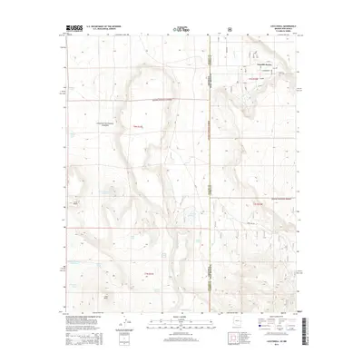
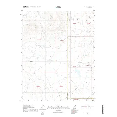
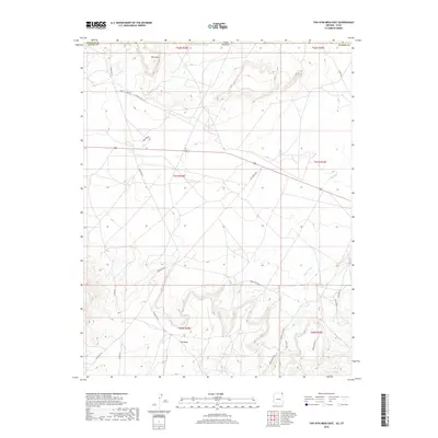
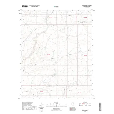
1892 Canyon De Chelly
Apache County, AZ
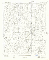
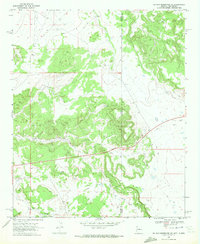
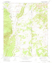
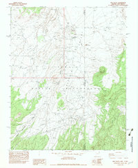
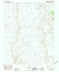
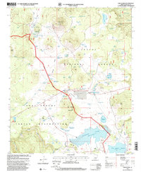
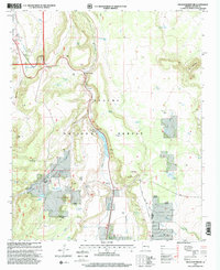
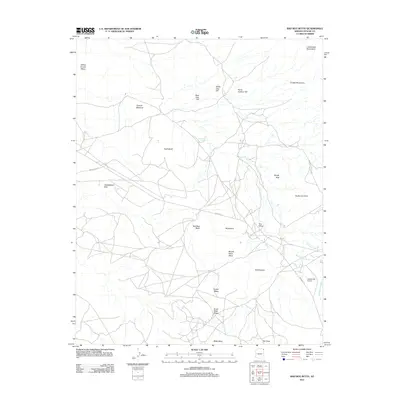
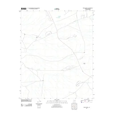
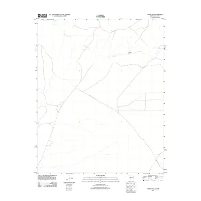
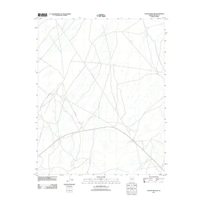
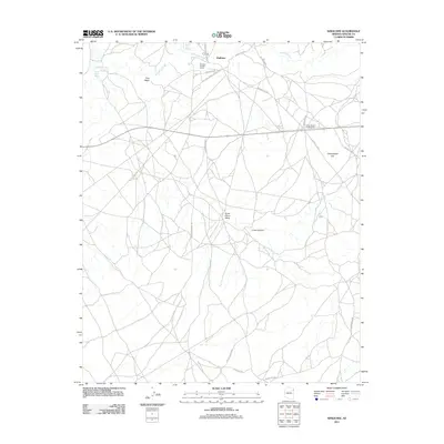
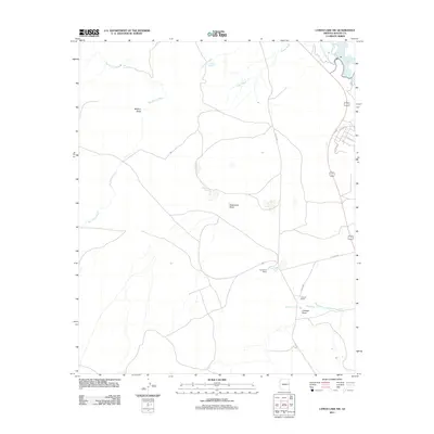
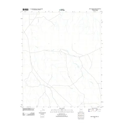
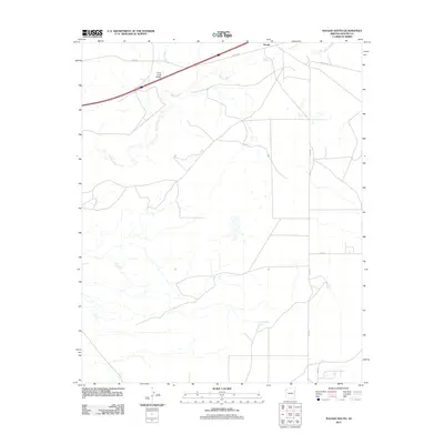
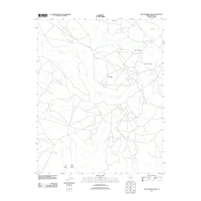
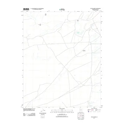
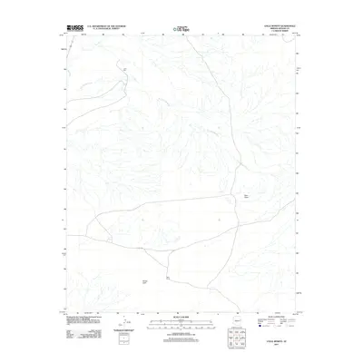
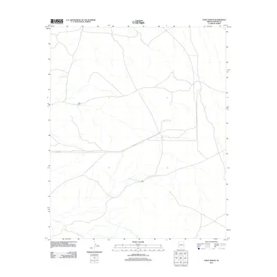
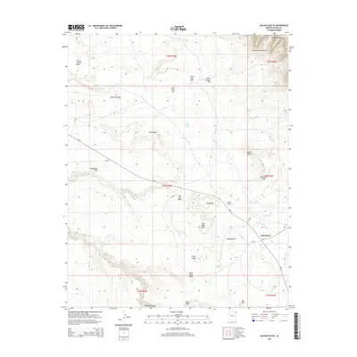
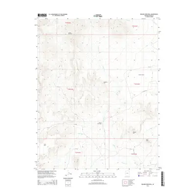
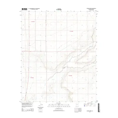
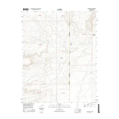
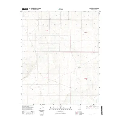
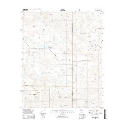
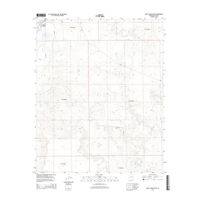
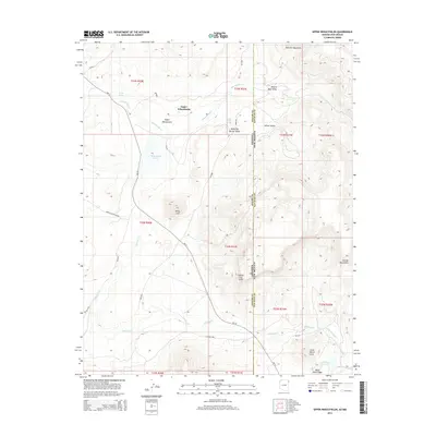
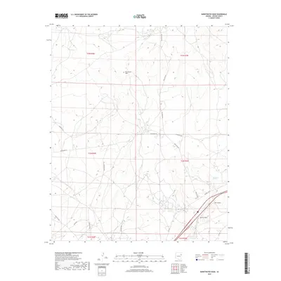
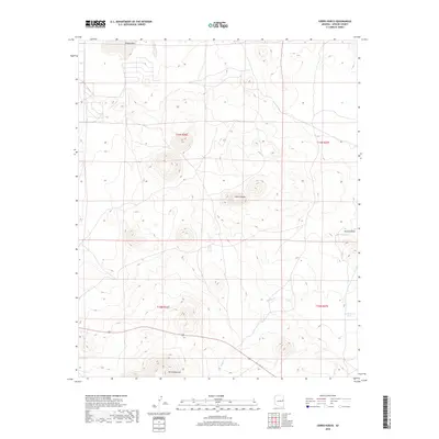
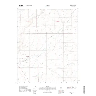
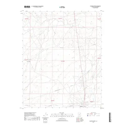
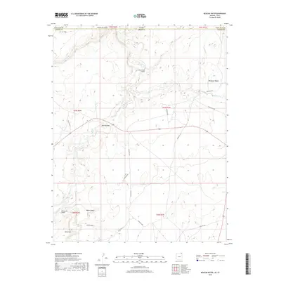
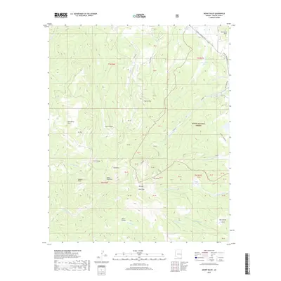
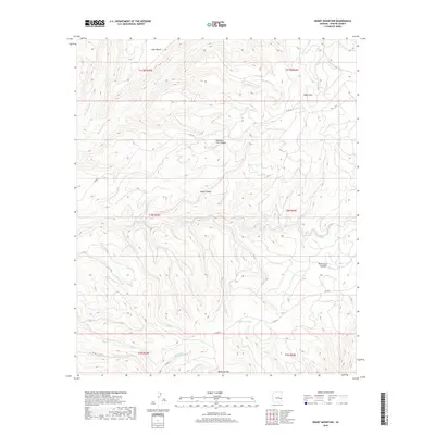
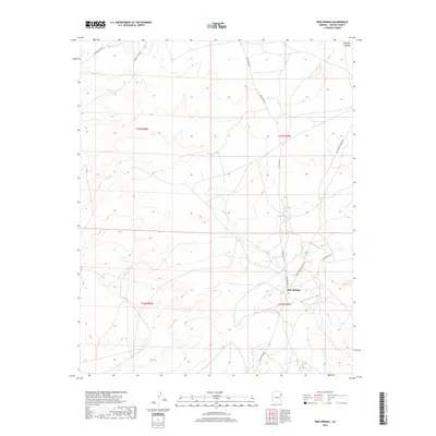
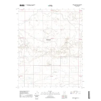
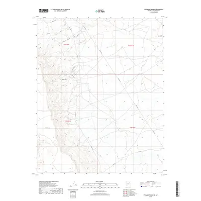
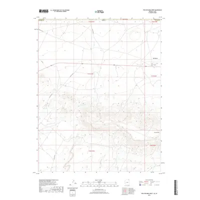
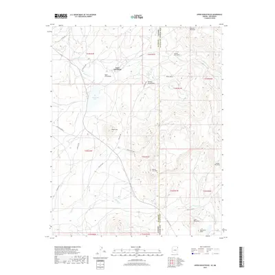
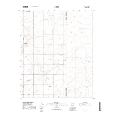
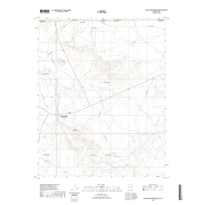
1892 St Johns
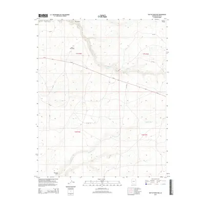
Apache County, AZ
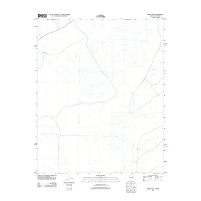
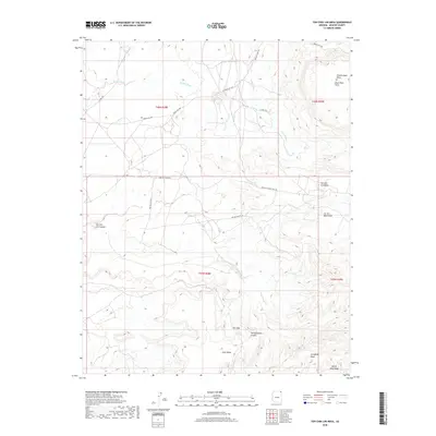
1952 Dinnehotso
Apache County, AZ
1952 Setsiltso Springs 2 NE
Apache County, AZ
1952 Setsiltso Springs 2 NW
Apache County, AZ
1952 Setsiltso Springs 2 SE
Apache County, AZ
1952 Setsiltso Springs 2 SW
Apache County, AZ
1953 Dinne Mesa NE
Apache County, AZ
1953 Dinne Mesa NW
Apache County, AZ
1953 Dinne Mesa SE
Apache County, AZ
1953 Dinne Mesa SW
Apache County, AZ
1953 Los Gigantes Buttes
Apache County, AZ
1953 Los Gigantes NE
Apache County, AZ
1953 Los Gigantes NW
Apache County, AZ
1953 Los Gigantes SE
Apache County, AZ
1953 Los Gigantes SW
Apache County, AZ
1953 Pastora Peak
Apache County, AZ
1953 Pastora Peak NE
Apache County, AZ
1953 Pastora Peak NW
Apache County, AZ
1953 Pastora Peak SE
Apache County, AZ
1953 Pastora Peak SW
Apache County, AZ
1953 Redrock Valley
Apache County, AZ
1953 Redrock Valley NE
Apache County, AZ
1953 Redrock Valley NW
Apache County, AZ
1953 Redrock Valley SE
Apache County, AZ
1953 Redrock Valley SW
Apache County, AZ
1953 Toh-Atin Mesa
Apache County, AZ
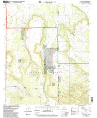
1954 Saint Johns
Apache County, AZ
1955 Adamana 1 SW
Apache County, AZ
1955 Adamana 3 NE
Apache County, AZ
1955 Adamana 3 SE
Apache County, AZ
1955 Adamana 4 NE
Apache County, AZ
1955 Adamana 4 NW
Apache County, AZ
1955 Adamana 4 SE
Apache County, AZ
1955 Adamana 4 SW
Apache County, AZ
1955 Buell Park
Apache County, AZ
1955 Canyon Del Muerto
Apache County, AZ
1955 Chinle 4 NE
Apache County, AZ
1955 Chinle 4 SE
Apache County, AZ
1955 Ganado 1 NE
Apache County, AZ
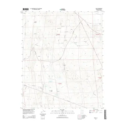
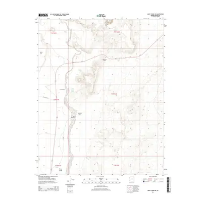
1955 Hunt
Apache County, AZ
1955 Sonsala Butte 1 NE
Apache County, AZ
1955 Sonsala Butte 1 NW
Apache County, AZ
1955 Sonsala Butte 1 SE
Apache County, AZ
1955 Sonsala Butte 1 SW
Apache County, AZ
1955 Sonsala Butte 2 NE
Apache County, AZ
1955 Sonsala Butte 2 NW
Apache County, AZ
1955 Sonsala Butte 2 SE
Apache County, AZ
1955 Sonsala Butte 2 SW
Apache County, AZ
1955 Sonsala Butte 3 NE
Apache County, AZ
1955 Sonsala Butte 3 NW
Apache County, AZ
1955 Sonsala Butte 3 SE
Apache County, AZ
1955 Sonsala Butte 3 SW
Apache County, AZ
1955 Sonsala Butte 4 NE
Apache County, AZ
1955 Sonsala Butte 4 NW
Apache County, AZ
1955 Sonsala Butte 4 SE
Apache County, AZ
1955 Sonsala Butte 4 SW
Apache County, AZ
1955 Sonsela Buttes
Apache County, AZ
1955 Wolford Springs 3 NW
Apache County, AZ
1955 Wolford Springs 3 SW
Apache County, AZ
1955 Yellowstone Canyon
Apache County, AZ
1955 Zith-Tusayan Butte 1 NE
Apache County, AZ
1955 Zith-Tusayan Butte 1 NW
Apache County, AZ
1955 Zith-Tusayan Butte 1 SE
Apache County, AZ
1955 Zith-Tusayan Butte 1 SW
Apache County, AZ
1955 Zith-Tusayan Butte 2 NE
Apache County, AZ
1955 Zith-Tusayan Butte 2 NW
Apache County, AZ
1955 Zith-Tusayan Butte 2 SE
Apache County, AZ
1955 Zith-Tusayan Butte 2 SW
Apache County, AZ
1955 Zith-Tusayan Butte 3 NE
Apache County, AZ
1955 Zith-Tusayan Butte 3 NW
Apache County, AZ
1955 Zith-Tusayan Butte 4 NE
Apache County, AZ
1955 Zith-Tusayan Butte 4 NW
Apache County, AZ
1956 Adamana 1 NW
Apache County, AZ

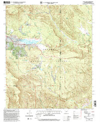
1957 Saint Johns
Apache County, AZ
1958 Big Lake
Apache County, AZ

1958 Saint Johns
Apache County, AZ

1962 Saint Johns
Apache County, AZ
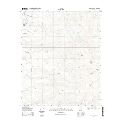
1966 Hawley Lake West
Apache County, AZ
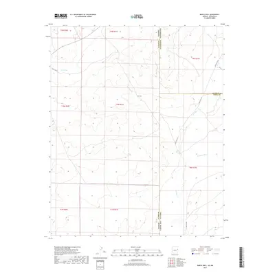
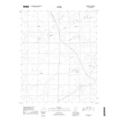
1967 Bonito Rock
Apache County, AZ
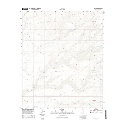
1967 Corn Creek
Apache County, AZ
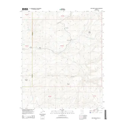
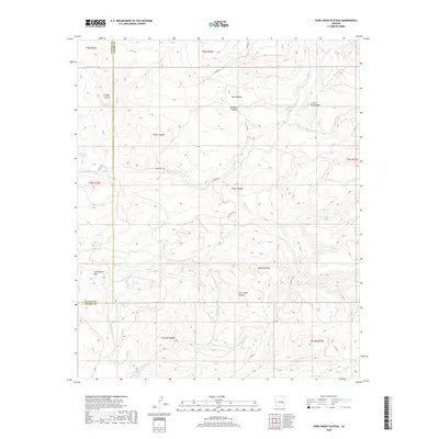
1967 Corn Creek Plateau
Apache County, AZ

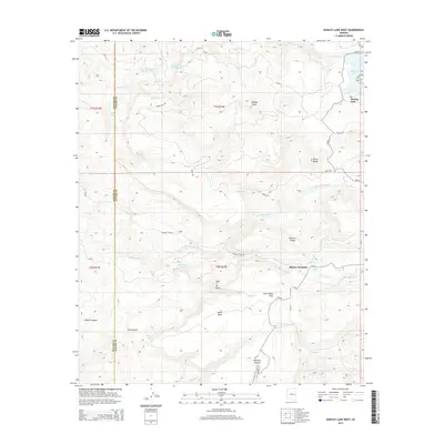
1967 Hawley Lake East
Apache County, AZ
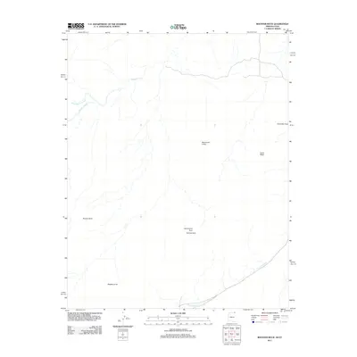
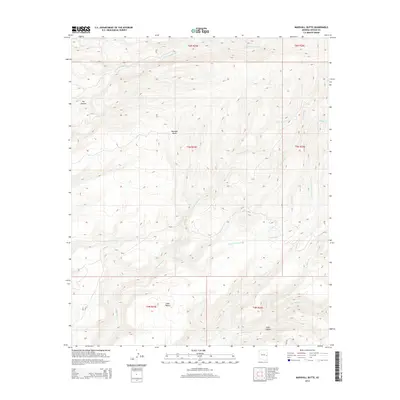
1967 Marshall Butte
Apache County, AZ
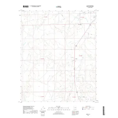
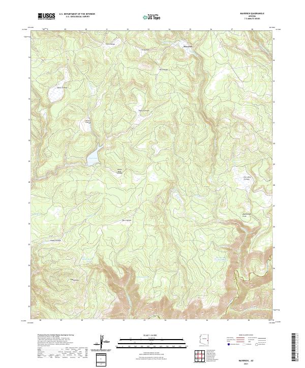
1967 Maverick
Apache County, AZ
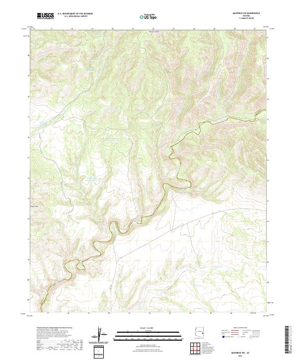
1967 Maverick SW
Apache County, AZ
1967 Mount Ord
Apache County, AZ
1967 Odart Mtn
Apache County, AZ
1967 West Poker Mtn.
Apache County, AZ
1968 Boundary Butte
Apache County, AZ
1968 Dancing Rocks
Apache County, AZ
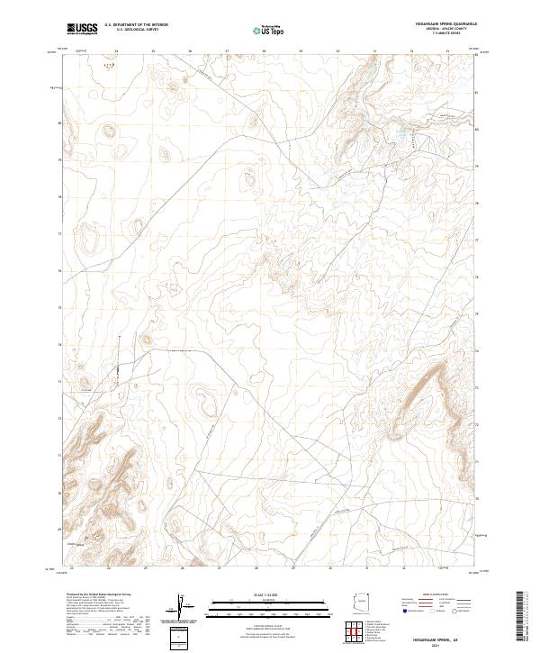
1968 Hogansaani Spring
Apache County, AZ
1968 Little Round Rock
Apache County, AZ
1968 Loco Knoll
Apache County, AZ
1968 Many Farms NE
Apache County, AZ
1968 Many Farms SW
Apache County, AZ
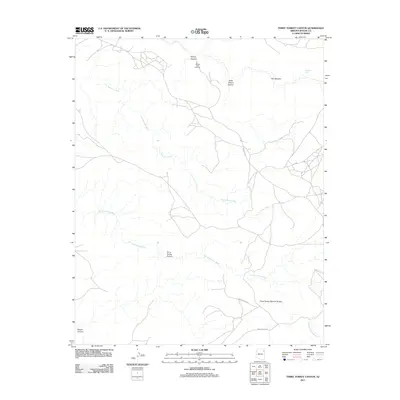
1968 Mexican Water
Apache County, AZ
1968 Mexican Water SW
Apache County, AZ
1968 Nelson Reservoir NE
Apache County, AZ
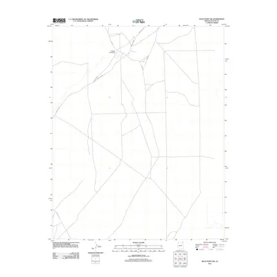
1968 Red Point Mesa
Apache County, AZ
1968 Rock Point SW
Apache County, AZ
1968 Rough Rock NW
Apache County, AZ
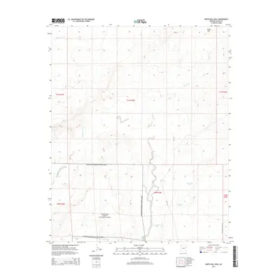
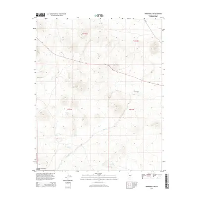
1968 Springerville NW
Apache County, AZ
1968 Sweathouse Peak
Apache County, AZ
1968 Sweetwater Mesa
Apache County, AZ
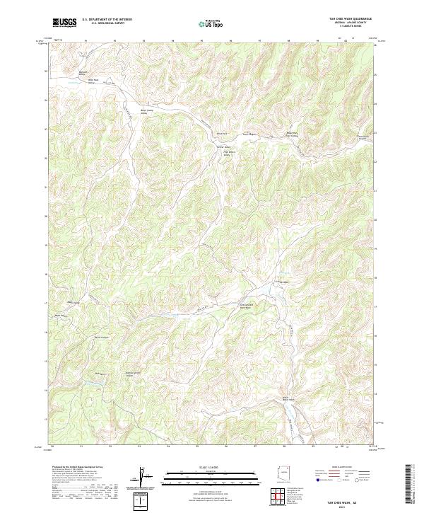
1968 Tah Chee Wash
Apache County, AZ
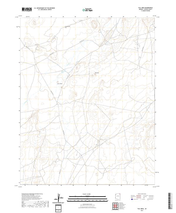
1968 Tall Mesa
Apache County, AZ
1968 Walker Creek Reservoir
Apache County, AZ
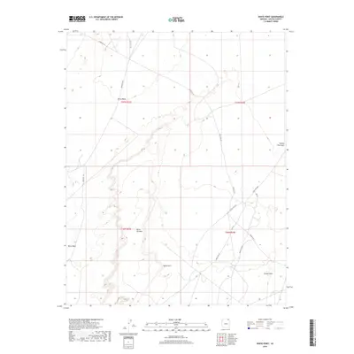
1968 White Point
Apache County, AZ
1968 Windy Valley
Apache County, AZ
1969 Coyote Hills
Apache County, AZ
1969 Greens Peak
Apache County, AZ
1969 Horseshoe Cienega
Apache County, AZ
1969 Nelson Reservoir
Apache County, AZ
1969 Whiting Knoll
Apache County, AZ
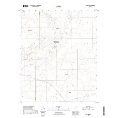
1971 Antelope Lake
Apache County, AZ
1971 Burntwater Wash
Apache County, AZ
1971 Cerro Hueco
Apache County, AZ
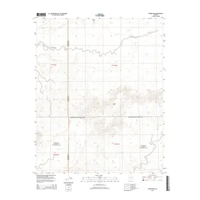
1971 Chafin Well
Apache County, AZ
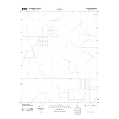
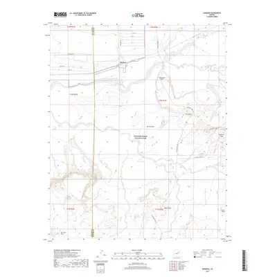
1971 Chambers
Apache County, AZ
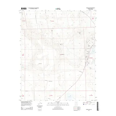
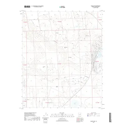
1971 Concho Lake
Apache County, AZ
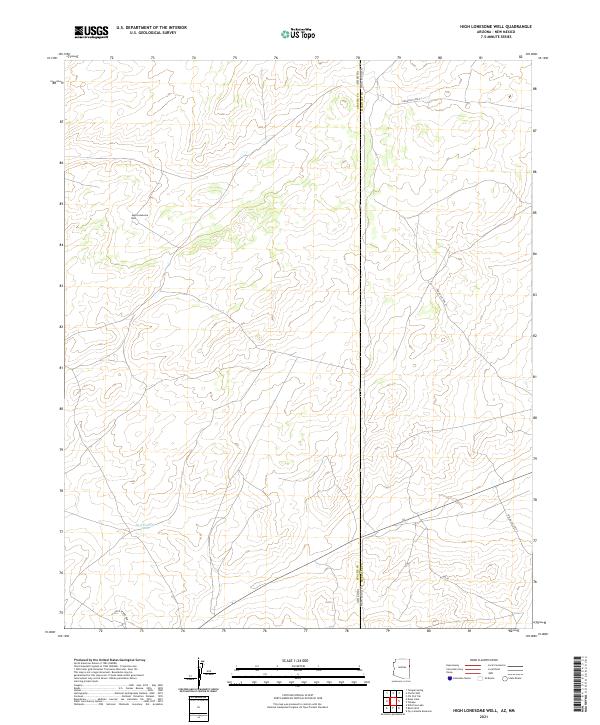
1971 High Lonesome Well
Apache County, AZ
1971 Hunters Point
Apache County, AZ
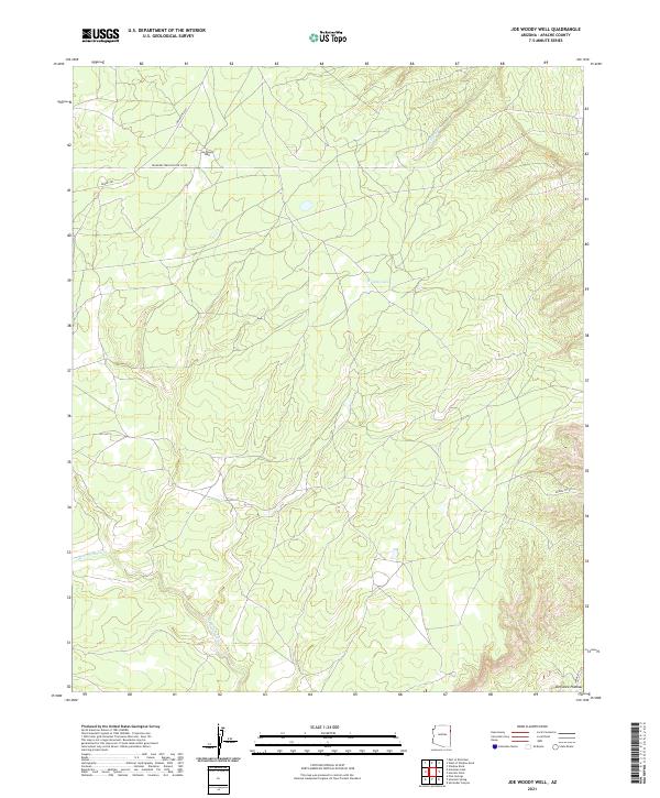
1971 Joe Woody Well
Apache County, AZ
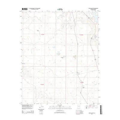
1971 Lyman Lake
Apache County, AZ
1971 Lyman Lake SW
Apache County, AZ
1971 Mesa Parada
Apache County, AZ
1971 Mesa Parada NW
Apache County, AZ
1971 Mesa Redonda
Apache County, AZ
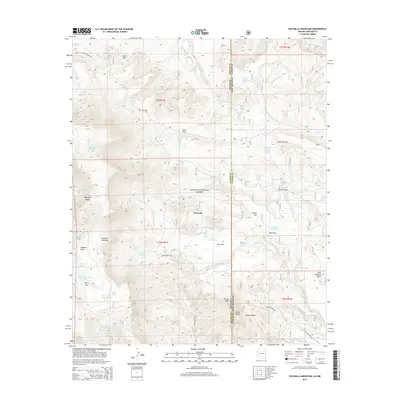
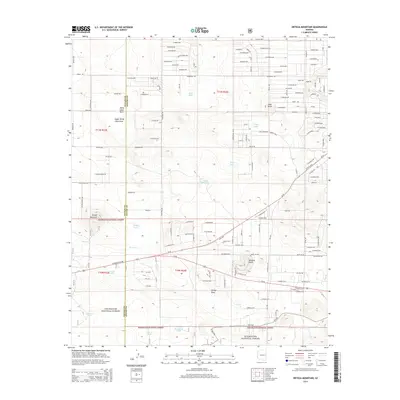
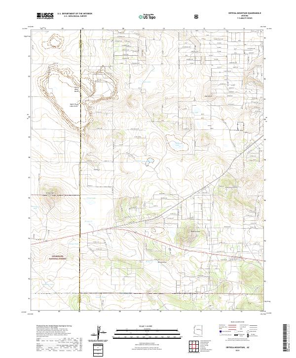
1971 Ortega Mountain
Apache County, AZ
1971 Pine Springs
Apache County, AZ
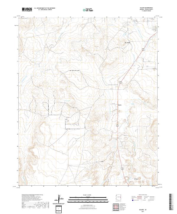
1971 Salado
Apache County, AZ
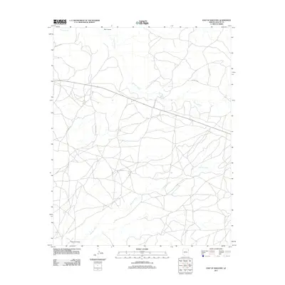
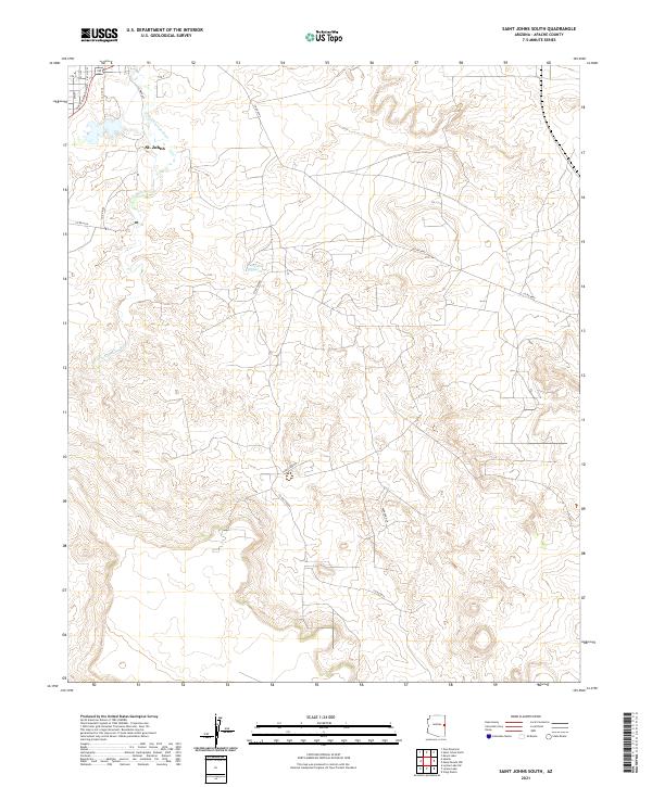
1971 St. Johns South
Apache County, AZ
1971 Surrender Canyon
Apache County, AZ
1971 The Rincon
Apache County, AZ
1971 Tolapai Spring
Apache County, AZ
1971 Tudecoz Spring
Apache County, AZ
1971 Uranium Spring
Apache County, AZ
1971 Voigt Ranch
Apache County, AZ
1971 Wide Ruins SW
Apache County, AZ
1972 Arrowhead Butte NE
Apache County, AZ
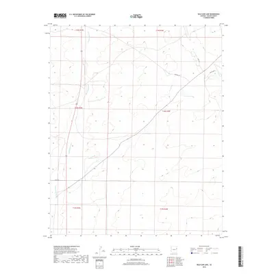
1972 Beacon Well
Apache County, AZ
1972 Beeshsikad Spring
Apache County, AZ
1972 Betty Well
Apache County, AZ
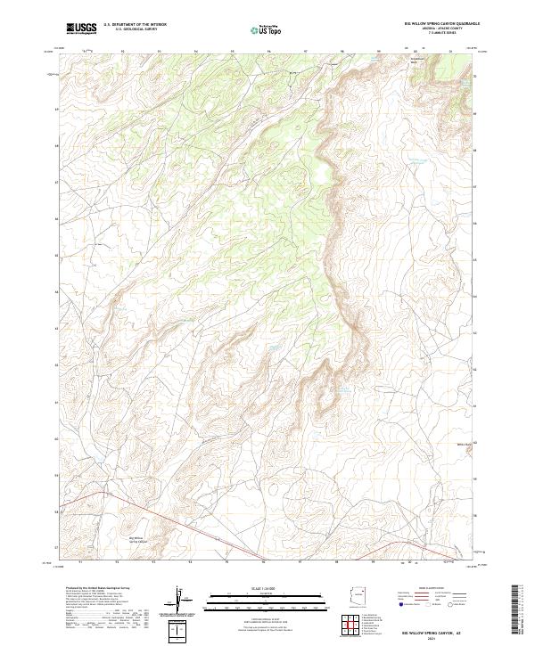
1972 Big Willow Spring Canyon
Apache County, AZ
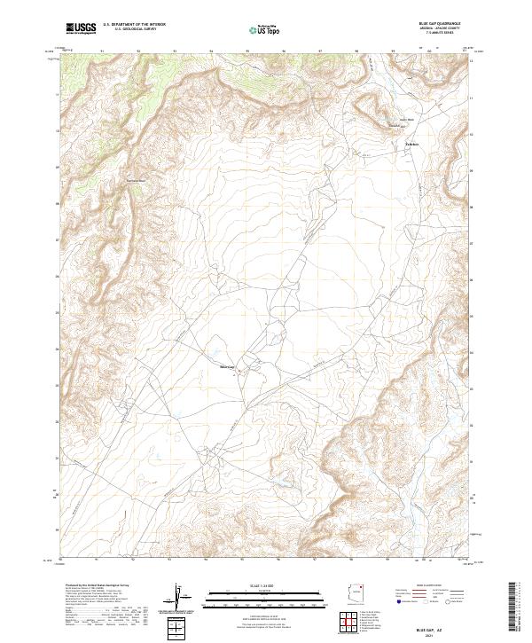
1972 Blue Gap
Apache County, AZ
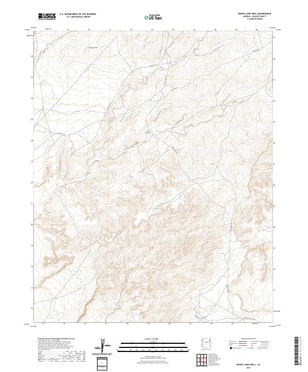
1972 Boggy Lake Well
Apache County, AZ
1972 Chinde Mesa
Apache County, AZ
1972 Deep Lake
Apache County, AZ
1972 Dipping Water Well
Apache County, AZ
1972 Ganado Mesa
Apache County, AZ
1972 Ganado Mesa SW
Apache County, AZ
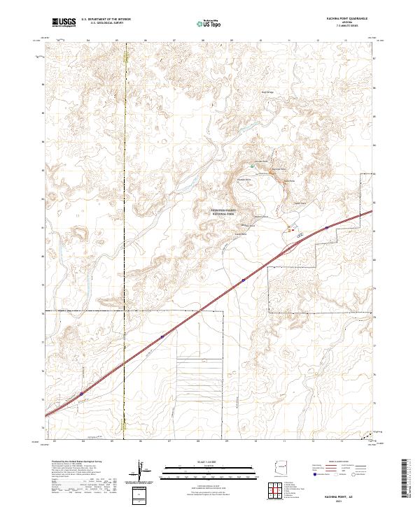
1972 Kachina Point
Apache County, AZ
1972 Klagetoh South
Apache County, AZ
1972 Lohali Point
Apache County, AZ
1972 Navajo North
Apache County, AZ
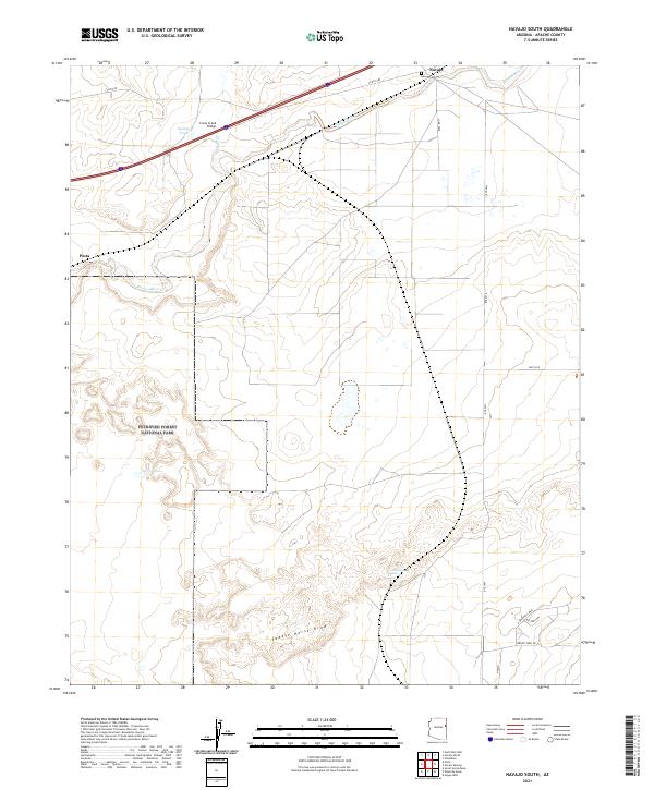
1972 Navajo South
Apache County, AZ
1972 Navajo Springs
Apache County, AZ
1972 North Mill Well
Apache County, AZ
1972 Pinta
Apache County, AZ
1972 Salina
Apache County, AZ
1972 Steamboat Canyon
Apache County, AZ
1972 Steamboat Rock
Apache County, AZ
1972 Steamboat Rock NE
Apache County, AZ
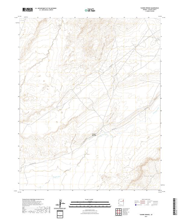
1972 Tanner Springs
Apache County, AZ
1972 Toadindaaska Mesa
Apache County, AZ
1972 Toh De Niihe
Apache County, AZ
1972 Tolani
Apache County, AZ
1972 Toyei School
Apache County, AZ
1972 Ventana Mesa
Apache County, AZ
1973 Klagetoh North
Apache County, AZ
1973 Sunrise Springs
Apache County, AZ
1974 Ninemile Seep
Apache County, AZ
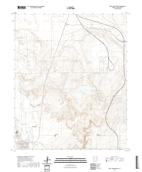
1974 St. Johns North
Apache County, AZ
1975 Greens Peak
Apache County, AZ
1976 Hawley Lake West
Apache County, AZ
1976 Sponseller Mtn.
Apache County, AZ
1977 Ceadro Spring
Apache County, AZ
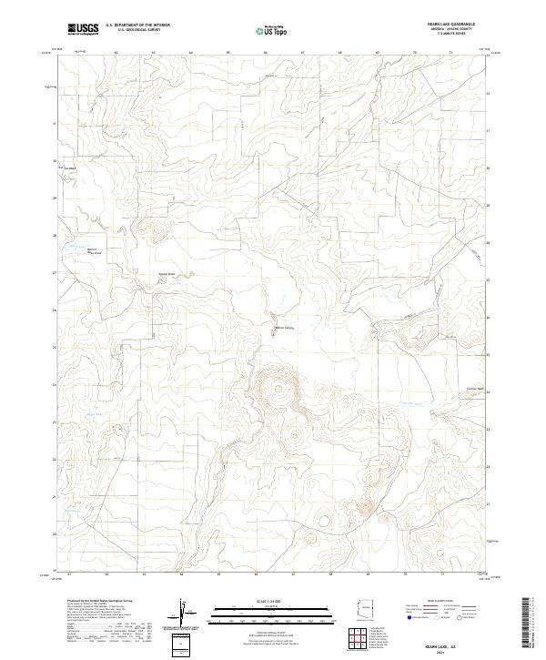
1977 Kearn Lake
Apache County, AZ
1977 Long H Ranch
Apache County, AZ
1977 Sponseller Mtn.
Apache County, AZ
1977 St. Johns North
Apache County, AZ
1978 Barth Well
Apache County, AZ
1978 Bonito Rock
Apache County, AZ
1978 Carrisito Spring
Apache County, AZ
1978 Corn Creek
Apache County, AZ
1978 Corn Creek Plateau
Apache County, AZ
1978 Fairchild Well
Apache County, AZ
1978 Hawley Lake East
Apache County, AZ
1978 Horseshoe Cienega
Apache County, AZ
1978 Marshall Butte
Apache County, AZ
1978 Maverick
Apache County, AZ
1978 Maverick SW
Apache County, AZ
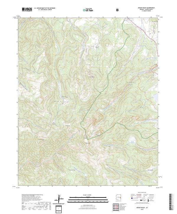
1978 Mount Baldy
Apache County, AZ
1978 Odart Mtn
Apache County, AZ
1978 Prospect Spring
Apache County, AZ
1978 Schnebly Well
Apache County, AZ
1978 Valle Bonito
Apache County, AZ
1978 Valle Bonito NE
Apache County, AZ
1978 West Poker Mtn.
Apache County, AZ
1978 Wild Cow Lake
Apache County, AZ
1978 Zion Reservoir
Apache County, AZ
1979 Barth Well
Apache County, AZ
1979 Ceadro Spring SE
Apache County, AZ
1979 Cedar Lake Wash
Apache County, AZ
1979 Fairchild Well
Apache County, AZ
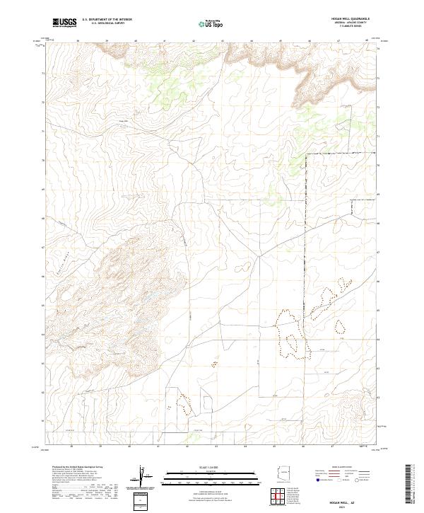
1979 Hogan Well
Apache County, AZ
1979 Seven Springs
Apache County, AZ
1980 Hogan Well
Apache County, AZ
1981 Saint Johns
Apache County, AZ
1982 Adamana
Apache County, AZ
1982 Agate House
Apache County, AZ
1982 Bad Bug Butte
Apache County, AZ
1982 Boiling Over Well
Apache County, AZ
1982 Buell Park
Apache County, AZ
1982 Cove
Apache County, AZ
1982 Cow Butte
Apache County, AZ
1982 Fire Dance Mesa
Apache County, AZ
1982 Horse Mesa
Apache County, AZ
1982 Hunt
Apache County, AZ
1982 Kinusta Mesa
Apache County, AZ
1982 Little Milky Wash
Apache County, AZ
1982 Little White House Ruins
Apache County, AZ
1982 Manuel Seep
Apache County, AZ
1982 Mexican Cry Mesa
Apache County, AZ
1982 Milky Ranch
Apache County, AZ

1982 Mummy Cave Ruins
Apache County, AZ
1982 Pastora Peak
Apache County, AZ
1982 Piney Hill
Apache County, AZ
1982 Potter Mesa Tank
Apache County, AZ
1982 Red Cornfield Mesa
Apache County, AZ
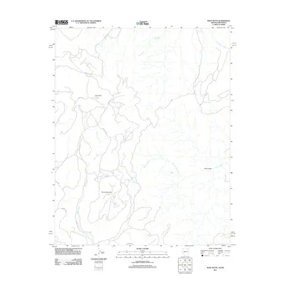
1982 Red Valley
Apache County, AZ
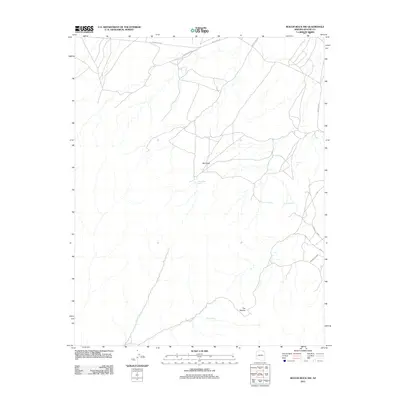
1982 Roof Butte
Apache County, AZ
1982 Sorrel Horse Mesa
Apache County, AZ
1982 Stinking Springs
Apache County, AZ
1982 Stinking Springs Mtn.
Apache County, AZ
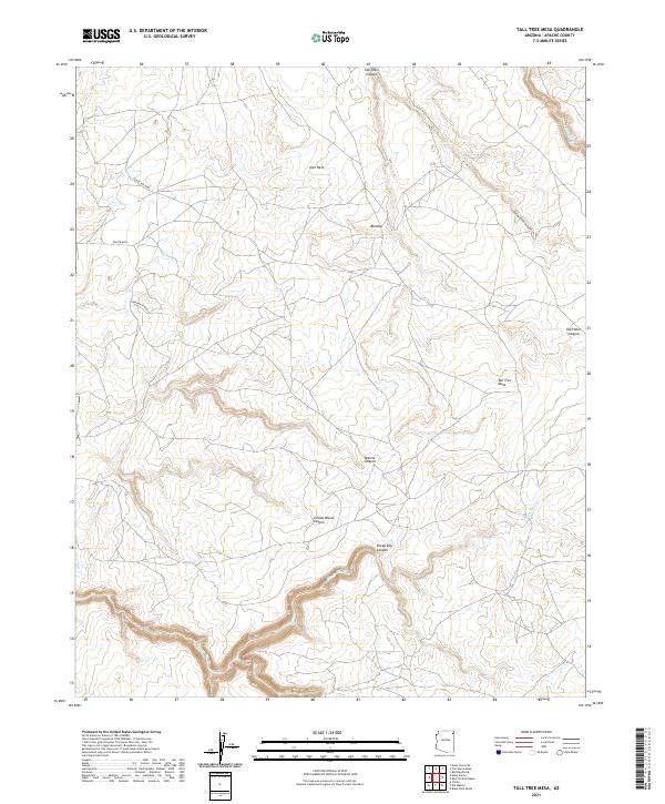
1982 Tall Tree Mesa
Apache County, AZ
1982 Toh Atin Mesa East
Apache County, AZ
1982 Toh Atin Mesa West
Apache County, AZ
1982 Toh Chin Lini Mesa
Apache County, AZ
1982 Tsaile Butte
Apache County, AZ
1982 Walker Butte
Apache County, AZ
1982 White Area Canyon
Apache County, AZ
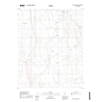
1983 Beautiful Valley Well
Apache County, AZ
1983 East of Kinlichee
Apache County, AZ
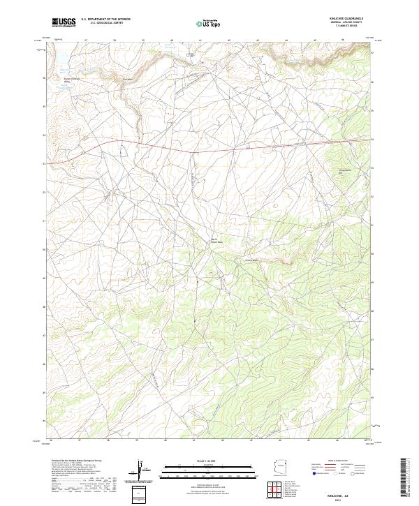
1983 Kinlichee
Apache County, AZ
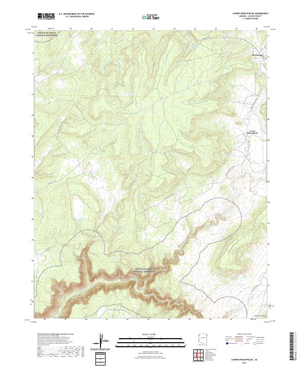
1983 Lower Wheatfields
Apache County, AZ
1983 Oak Creek Mtn
Apache County, AZ
1983 Red Clay Wash
Apache County, AZ
1983 Sonsela Buttes
Apache County, AZ
1983 Spider Rock
Apache County, AZ
1983 Three Turkey Canyon
Apache County, AZ
1983 Upper Wheatfields
Apache County, AZ
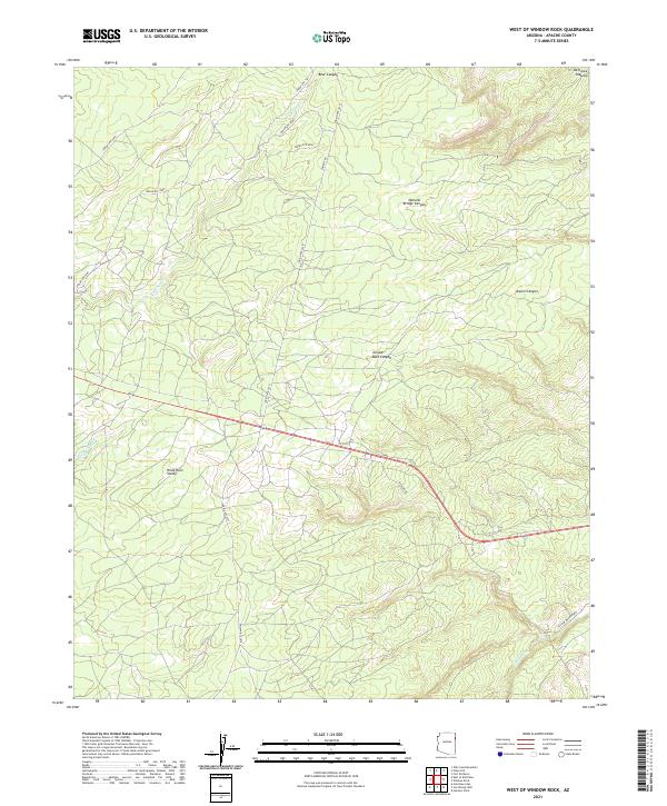
1983 West of Window Rock
Apache County, AZ
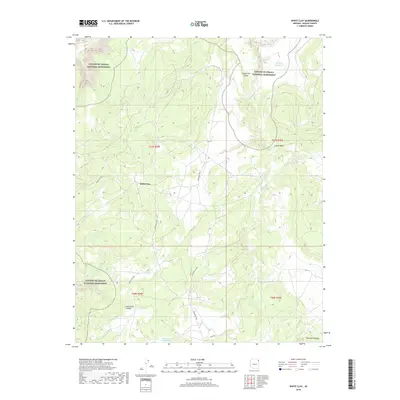
1983 White Clay
Apache County, AZ
1983 White Rock Wash
Apache County, AZ
1984 Canyon De Chelly
Apache County, AZ
1988 Garnet Ridge
Apache County, AZ
1988 Red Point
Apache County, AZ
1988 Rooster Rock
Apache County, AZ
1991 Big Lake North
Apache County, AZ
1991 Big Lake South
Apache County, AZ
1991 Buffalo Crossing
Apache County, AZ
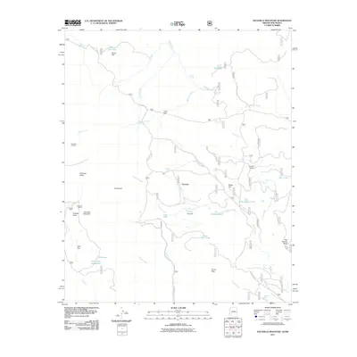
1991 Escudilla Mountain
Apache County, AZ
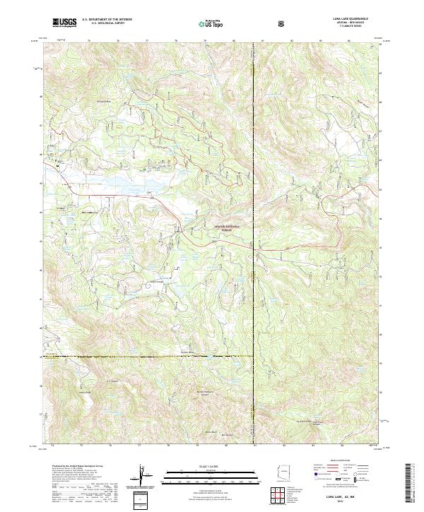
1991 Luna Lake
Apache County, AZ
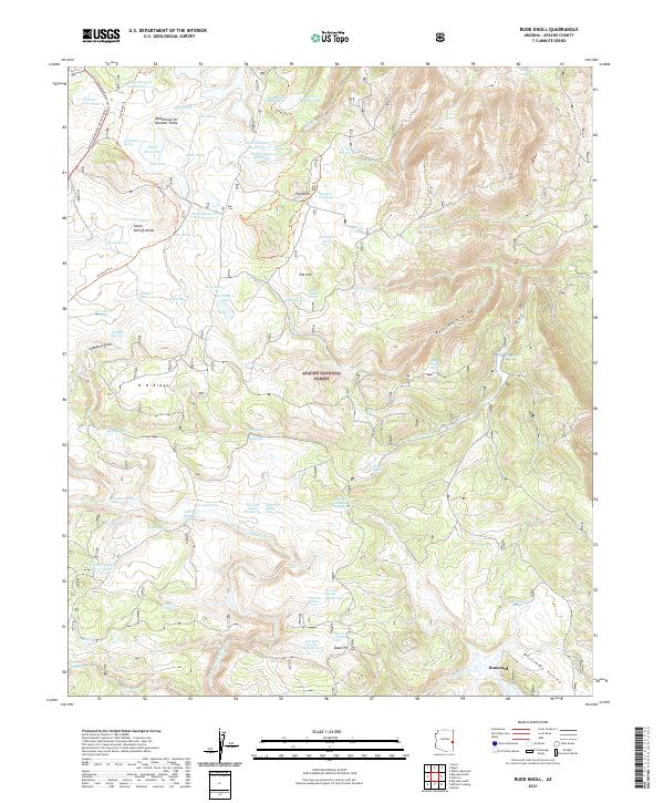
1991 Rudd Knoll
Apache County, AZ
1997 Big Lake North
Apache County, AZ
1997 Big Lake South
Apache County, AZ
1997 Buffalo Crossing
Apache County, AZ
1997 Coyote Hills
Apache County, AZ
1997 Escudilla Mountain
Apache County, AZ
1997 Greens Peak
Apache County, AZ
1997 Loco Knoll
Apache County, AZ
1997 Luna Lake
Apache County, AZ
1997 Mount Baldy
Apache County, AZ
1997 Nelson Reservoir
Apache County, AZ
1997 Nelson Reservoir NE
Apache County, AZ
1997 Rudd Knoll
Apache County, AZ
1997 Springerville NW
Apache County, AZ
1997 Whiting Knoll
Apache County, AZ
1998 Boundary Butte
Apache County, AZ
1998 Horseshoe Cienega
Apache County, AZ
1998 Ortega Mountain
Apache County, AZ
1998 Sponseller Mountain
Apache County, AZ
2005 Escudilla Mountain
Apache County, AZ
2005 Loco Knoll
Apache County, AZ
2005 Luna Lake
Apache County, AZ
2010 Chafin Well
Apache County, AZ
2010 High Lonesome Well
Apache County, AZ
2010 Horse Mesa
Apache County, AZ
2010 Hunters Point
Apache County, AZ
2010 Red Valley
Apache County, AZ
2010 Roof Butte
Apache County, AZ
2010 Sonsela Buttes
Apache County, AZ
2010 Tsaile Butte
Apache County, AZ
2010 Upper Wheatfields
Apache County, AZ
2011 Adamana
Apache County, AZ
2011 Agate House
Apache County, AZ
2011 Antelope Lake
Apache County, AZ
2011 Arrowhead Butte NE
Apache County, AZ
2011 Bad Bug Butte
Apache County, AZ
2011 Barth Well
Apache County, AZ
2011 Beacon Well
Apache County, AZ
2011 Beautiful Valley Well
Apache County, AZ
2011 Beeshsikad Spring
Apache County, AZ
2011 Betty Well
Apache County, AZ
2011 Big Lake North
Apache County, AZ
2011 Big Lake South
Apache County, AZ
2011 Big Willow Spring Canyon
Apache County, AZ
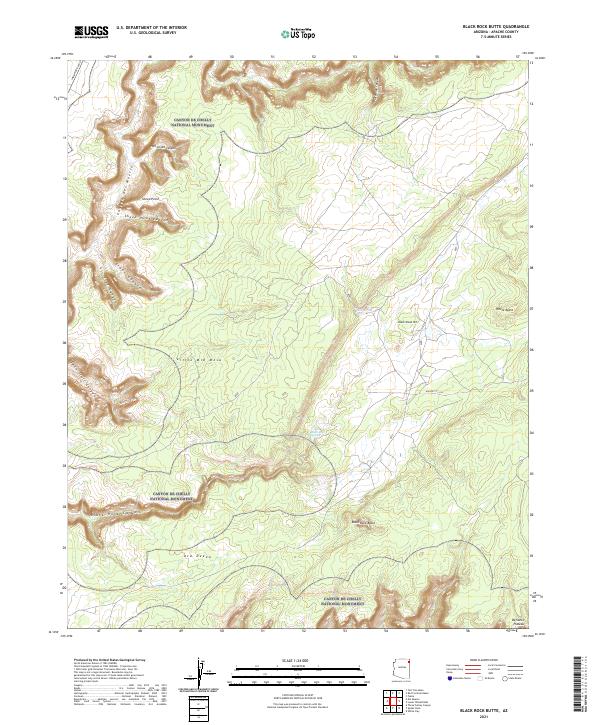
2011 Black Rock Butte
Apache County, AZ
2011 Blue Gap
Apache County, AZ
2011 Boggy Lake Well
Apache County, AZ
2011 Boiling Over Well
Apache County, AZ
2011 Bonito Rock
Apache County, AZ
2011 Boundary Butte
Apache County, AZ
2011 Buell Park
Apache County, AZ
2011 Buffalo Crossing
Apache County, AZ
2011 Burntwater Wash
Apache County, AZ
2011 Carrisito Spring
Apache County, AZ
2011 Ceadro Spring
Apache County, AZ
2011 Ceadro Spring SE
Apache County, AZ
2011 Cedar Lake Wash
Apache County, AZ
2011 Cerro Hueco
Apache County, AZ
2011 Chafin Well
Apache County, AZ
2011 Chambers
Apache County, AZ
2011 Chinde Mesa
Apache County, AZ
2011 Concho Lake
Apache County, AZ
2011 Corn Creek
Apache County, AZ
2011 Corn Creek Plateau
Apache County, AZ
2011 Cove
Apache County, AZ
2011 Cow Butte
Apache County, AZ
2011 Coyote Hills
Apache County, AZ
2011 Dancing Rocks
Apache County, AZ
2011 Deep Lake
Apache County, AZ
2011 Dipping Water Well
Apache County, AZ
2011 East of Kinlichee
Apache County, AZ
2011 Escudilla Mountain
Apache County, AZ
2011 Fairchild Well
Apache County, AZ
2011 Fire Dance Mesa
Apache County, AZ
2011 Ganado Mesa
Apache County, AZ
2011 Ganado Mesa SW
Apache County, AZ
2011 Garnet Ridge
Apache County, AZ
2011 Greens Peak
Apache County, AZ
2011 Hawley Lake East
Apache County, AZ
2011 Hawley Lake West
Apache County, AZ
2011 High Lonesome Well
Apache County, AZ
2011 Hogansaani Spring
Apache County, AZ
2011 Hogan Well
Apache County, AZ
2011 Horse Mesa
Apache County, AZ
2011 Horseshoe Cienega
Apache County, AZ
2011 Hunt
Apache County, AZ
2011 Hunters Point
Apache County, AZ
2011 Joe Woody Well
Apache County, AZ
2011 Kachina Point
Apache County, AZ
2011 Kearn Lake
Apache County, AZ
2011 Kinlichee
Apache County, AZ
2011 Kinusta Mesa
Apache County, AZ
2011 Klagetoh North
Apache County, AZ
2011 Klagetoh South
Apache County, AZ
2011 Little Milky Wash
Apache County, AZ

2011 Little Round Rock
Apache County, AZ
2011 Loco Knoll
Apache County, AZ
2011 Lohali Point
Apache County, AZ
2011 Long H Ranch
Apache County, AZ
2011 Lower Wheatfields
Apache County, AZ
2011 Luna Lake
Apache County, AZ
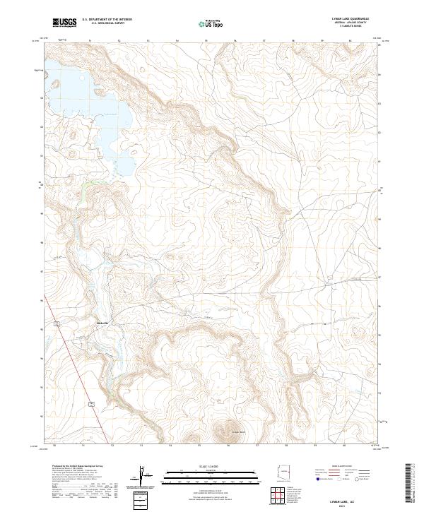
2011 Lyman Lake
Apache County, AZ
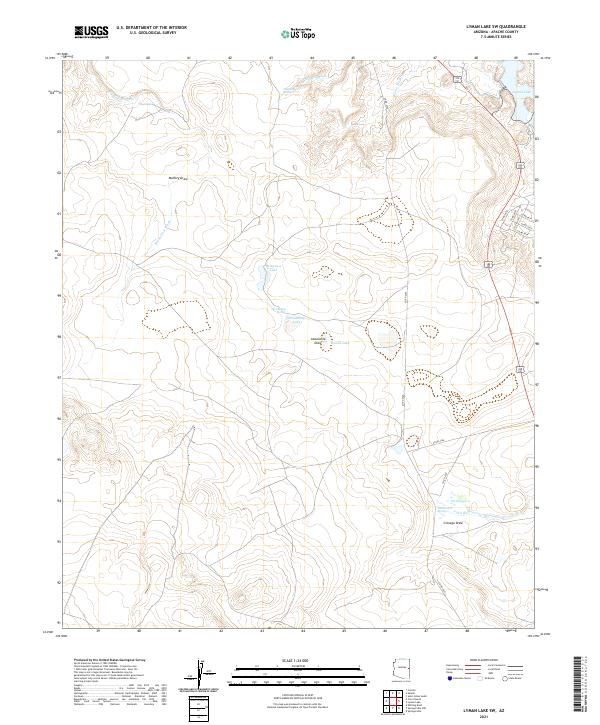
2011 Lyman Lake SW
Apache County, AZ
2011 Manuel Seep
Apache County, AZ
2011 Many Farms NE
Apache County, AZ
2011 Many Farms SW
Apache County, AZ
2011 Marshall Butte
Apache County, AZ
2011 Maverick
Apache County, AZ
2011 Maverick SW
Apache County, AZ
2011 Mesa Parada
Apache County, AZ
2011 Mesa Parada NW
Apache County, AZ
2011 Mesa Redonda
Apache County, AZ
2011 Mexican Cry Mesa
Apache County, AZ
2011 Mexican Water
Apache County, AZ
2011 Mexican Water SW
Apache County, AZ
2011 Milky Ranch
Apache County, AZ
2011 Mount Baldy
Apache County, AZ
2011 Mud Spring
Apache County, AZ
2011 Navajo North
Apache County, AZ
2011 Navajo South
Apache County, AZ
2011 Navajo Springs
Apache County, AZ
2011 Nelson Reservoir
Apache County, AZ
2011 Nelson Reservoir NE
Apache County, AZ

2011 Ninemile Seep
Apache County, AZ
2011 North Mill Well
Apache County, AZ
2011 Oak Creek Mountain
Apache County, AZ
2011 Odart Mountain
Apache County, AZ
2011 Ortega Mountain
Apache County, AZ
2011 Pastora Peak
Apache County, AZ
2011 Pine Springs
Apache County, AZ
2011 Piney Hill
Apache County, AZ
2011 Pinta
Apache County, AZ
2011 Potter Mesa Tank
Apache County, AZ
2011 Prospect Spring
Apache County, AZ
2011 Red Clay Wash
Apache County, AZ
2011 Red Cornfield Mesa
Apache County, AZ
2011 Red Point
Apache County, AZ
2011 Red Point Mesa
Apache County, AZ
2011 Red Valley
Apache County, AZ
2011 Rock Point SW
Apache County, AZ
2011 Roof Butte
Apache County, AZ
2011 Rooster Rock
Apache County, AZ
2011 Rough Rock NW
Apache County, AZ
2011 Rudd Knoll
Apache County, AZ
2011 Saint Johns North
Apache County, AZ
2011 Saint Johns South
Apache County, AZ
2011 Salado
Apache County, AZ
2011 Salina
Apache County, AZ
2011 Schnebly Well
Apache County, AZ
2011 Seven Springs
Apache County, AZ
2011 Sonsela Buttes
Apache County, AZ
2011 Sorrel Horse Mesa
Apache County, AZ
2011 Spider Rock
Apache County, AZ
2011 Sponseller Mountain
Apache County, AZ
2011 Springerville NW
Apache County, AZ
2011 Steamboat Canyon
Apache County, AZ
2011 Steamboat Rock
Apache County, AZ
2011 Steamboat Rock NE
Apache County, AZ
2011 Stinking Springs
Apache County, AZ
2011 Stinking Springs Mountain
Apache County, AZ
2011 Sunrise Springs
Apache County, AZ
2011 Sweathouse Peak
Apache County, AZ
2011 Sweetwater Mesa
Apache County, AZ
2011 Tah Chee Wash
Apache County, AZ
2011 Tall Mesa
Apache County, AZ
2011 Tall Tree Mesa
Apache County, AZ
2011 Tanner Springs
Apache County, AZ
2011 The Rincon
Apache County, AZ
2011 Three Turkey Canyon
Apache County, AZ
2011 Toadindaaska Mesa
Apache County, AZ
2011 Toh Atin Mesa East
Apache County, AZ
2011 Toh Atin Mesa West
Apache County, AZ

2011 Toh Chin Lini Mesa
Apache County, AZ
2011 Toh De Niihe
Apache County, AZ
2011 Tolani
Apache County, AZ
2011 Tolapai Spring
Apache County, AZ
2011 Toyei School
Apache County, AZ
2011 Tsaile Butte
Apache County, AZ
2011 Tudecoz Spring
Apache County, AZ
2011 Upper Wheatfields
Apache County, AZ
2011 Uranium Spring
Apache County, AZ
2011 Valle Bonito
Apache County, AZ
2011 Valle Bonito NE
Apache County, AZ
2011 Ventana Mesa
Apache County, AZ
2011 Voigt Ranch
Apache County, AZ
2011 Walker Butte
Apache County, AZ

2011 Walker Creek Reservoir
Apache County, AZ
2011 West of Window Rock
Apache County, AZ
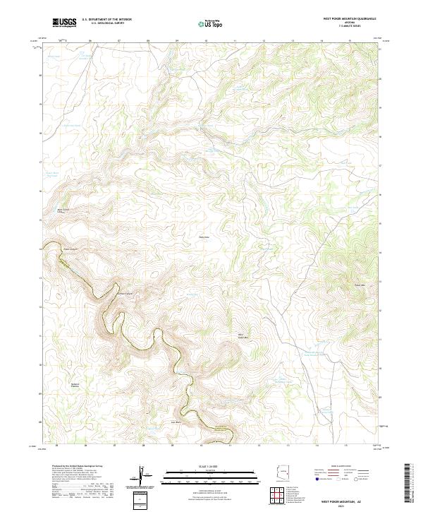
2011 West Poker Mountain
Apache County, AZ
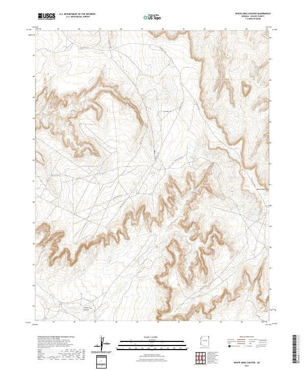
2011 White Area Canyon
Apache County, AZ
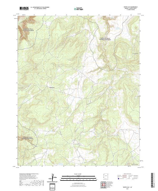
2011 White Clay
Apache County, AZ
2011 White Point
Apache County, AZ
2011 White Rock Wash
Apache County, AZ
2011 Whiting Knoll
Apache County, AZ
2011 Wide Ruins SW
Apache County, AZ
2011 Wild Cow Lake
Apache County, AZ
2011 Windy Valley
Apache County, AZ
2011 Zion Reservoir
Apache County, AZ
2014 Adamana
Apache County, AZ
2014 Agate House
Apache County, AZ
2014 Antelope Lake
Apache County, AZ
2014 Arrowhead Butte NE
Apache County, AZ
2014 Bad Bug Butte
Apache County, AZ
2014 Barth Well
Apache County, AZ
2014 Beacon Well
Apache County, AZ
2014 Beautiful Valley Well
Apache County, AZ
2014 Beeshsikad Spring
Apache County, AZ
2014 Betty Well
Apache County, AZ
2014 Big Lake North
Apache County, AZ
2014 Big Lake South
Apache County, AZ
2014 Big Willow Spring Canyon
Apache County, AZ
2014 Black Rock Butte
Apache County, AZ
2014 Blue Gap
Apache County, AZ
2014 Boggy Lake Well
Apache County, AZ
2014 Boiling Over Well
Apache County, AZ
2014 Bonito Rock
Apache County, AZ
2014 Boundary Butte
Apache County, AZ
2014 Buell Park
Apache County, AZ
2014 Buffalo Crossing
Apache County, AZ
2014 Burntwater Wash
Apache County, AZ
2014 Carrisito Spring
Apache County, AZ
2014 Ceadro Spring
Apache County, AZ
2014 Ceadro Spring SE
Apache County, AZ
2014 Cedar Lake Wash
Apache County, AZ
2014 Cerro Hueco
Apache County, AZ
2014 Chafin Well
Apache County, AZ
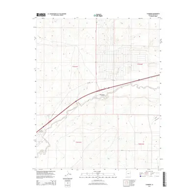
2014 Chambers
Apache County, AZ
2014 Chinde Mesa
Apache County, AZ
2014 Concho Lake
Apache County, AZ
2014 Corn Creek
Apache County, AZ
2014 Corn Creek Plateau
Apache County, AZ
2014 Cove
Apache County, AZ
2014 Cow Butte
Apache County, AZ
2014 Coyote Hills
Apache County, AZ
2014 Dancing Rocks
Apache County, AZ
2014 Deep Lake
Apache County, AZ
2014 Dipping Water Well
Apache County, AZ
2014 East of Kinlichee
Apache County, AZ
2014 Escudilla Mountain
Apache County, AZ
2014 Fairchild Well
Apache County, AZ
2014 Fire Dance Mesa
Apache County, AZ
2014 Ganado Mesa
Apache County, AZ
2014 Ganado Mesa SW
Apache County, AZ
2014 Garnet Ridge
Apache County, AZ
2014 Greens Peak
Apache County, AZ
2014 Hawley Lake East
Apache County, AZ
2014 Hawley Lake West
Apache County, AZ
2014 High Lonesome Well
Apache County, AZ
2014 Hogansaani Spring
Apache County, AZ
2014 Hogan Well
Apache County, AZ
2014 Horse Mesa
Apache County, AZ
2014 Horseshoe Cienega
Apache County, AZ
2014 Hunt
Apache County, AZ
2014 Hunters Point
Apache County, AZ
2014 Joe Woody Well
Apache County, AZ
2014 Kachina Point
Apache County, AZ
2014 Kearn Lake
Apache County, AZ
2014 Kinlichee
Apache County, AZ
2014 Kinusta Mesa
Apache County, AZ

2014 Klagetoh North
Apache County, AZ
2014 Klagetoh South
Apache County, AZ
2014 Little Milky Wash
Apache County, AZ
2014 Little Round Rock
Apache County, AZ
2014 Loco Knoll
Apache County, AZ
2014 Lohali Point
Apache County, AZ
2014 Long H Ranch
Apache County, AZ
2014 Lower Wheatfields
Apache County, AZ
2014 Luna Lake
Apache County, AZ
2014 Lyman Lake
Apache County, AZ
2014 Lyman Lake SW
Apache County, AZ
2014 Manuel Seep
Apache County, AZ
2014 Many Farms NE
Apache County, AZ
2014 Many Farms SW
Apache County, AZ
2014 Marshall Butte
Apache County, AZ
2014 Maverick
Apache County, AZ
2014 Maverick SW
Apache County, AZ
2014 Mesa Parada
Apache County, AZ
2014 Mesa Parada NW
Apache County, AZ
2014 Mesa Redonda
Apache County, AZ
2014 Mexican Cry Mesa
Apache County, AZ
2014 Mexican Water
Apache County, AZ
2014 Mexican Water SW
Apache County, AZ
2014 Milky Ranch
Apache County, AZ
2014 Mount Baldy
Apache County, AZ
2014 Mud Spring
Apache County, AZ
2014 Navajo North
Apache County, AZ
2014 Navajo South
Apache County, AZ
2014 Navajo Springs
Apache County, AZ
2014 Nelson Reservoir
Apache County, AZ
2014 Nelson Reservoir NE
Apache County, AZ
2014 Ninemile Seep
Apache County, AZ
2014 North Mill Well
Apache County, AZ
2014 Oak Creek Mountain
Apache County, AZ
2014 Odart Mountain
Apache County, AZ
2014 Ortega Mountain
Apache County, AZ
2014 Pastora Peak
Apache County, AZ
2014 Pine Springs
Apache County, AZ
2014 Piney Hill
Apache County, AZ
2014 Pinta
Apache County, AZ

2014 Potter Mesa Tank
Apache County, AZ
2014 Prospect Spring
Apache County, AZ

2014 Red Clay Wash
Apache County, AZ
2014 Red Cornfield Mesa
Apache County, AZ
2014 Red Point
Apache County, AZ
2014 Red Point Mesa
Apache County, AZ
2014 Red Valley
Apache County, AZ
2014 Rock Point SW
Apache County, AZ
2014 Roof Butte
Apache County, AZ
2014 Rooster Rock
Apache County, AZ
2014 Rough Rock NW
Apache County, AZ
2014 Rudd Knoll
Apache County, AZ
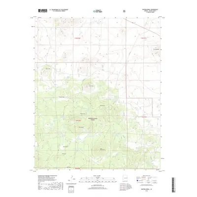
2014 Saint Johns North
Apache County, AZ
2014 Saint Johns South
Apache County, AZ
2014 Salado
Apache County, AZ
2014 Salina
Apache County, AZ
2014 Schnebly Well
Apache County, AZ

2014 Seven Springs
Apache County, AZ
2014 Sonsela Buttes
Apache County, AZ
2014 Sorrel Horse Mesa
Apache County, AZ
2014 Spider Rock
Apache County, AZ
2014 Sponseller Mountain
Apache County, AZ
2014 Springerville NW
Apache County, AZ
2014 Steamboat Canyon
Apache County, AZ

2014 Steamboat Rock
Apache County, AZ
2014 Steamboat Rock NE
Apache County, AZ
2014 Stinking Springs
Apache County, AZ
2014 Stinking Springs Mountain
Apache County, AZ
2014 Sunrise Springs
Apache County, AZ
2014 Sweathouse Peak
Apache County, AZ
2014 Sweetwater Mesa
Apache County, AZ
2014 Tah Chee Wash
Apache County, AZ
2014 Tall Mesa
Apache County, AZ
2014 Tall Tree Mesa
Apache County, AZ
2014 Tanner Springs
Apache County, AZ
2014 The Rincon
Apache County, AZ
2014 Three Turkey Canyon
Apache County, AZ
2014 Toadindaaska Mesa
Apache County, AZ
2014 Toh Atin Mesa East
Apache County, AZ
2014 Toh Atin Mesa West
Apache County, AZ
2014 Toh Chin Lini Mesa
Apache County, AZ
2014 Toh De Niihe
Apache County, AZ
2014 Tolani
Apache County, AZ
2014 Tolapai Spring
Apache County, AZ
2014 Toyei School
Apache County, AZ
2014 Tsaile Butte
Apache County, AZ
2014 Tudecoz Spring
Apache County, AZ
2014 Upper Wheatfields
Apache County, AZ
2014 Uranium Spring
Apache County, AZ
2014 Valle Bonito
Apache County, AZ
2014 Valle Bonito NE
Apache County, AZ
2014 Ventana Mesa
Apache County, AZ
2014 Voigt Ranch
Apache County, AZ
2014 Walker Butte
Apache County, AZ
2014 Walker Creek Reservoir
Apache County, AZ
2014 West of Window Rock
Apache County, AZ
2014 West Poker Mountain
Apache County, AZ
2014 White Area Canyon
Apache County, AZ
2014 White Clay
Apache County, AZ
2014 White Point
Apache County, AZ
2014 White Rock Wash
Apache County, AZ
2014 Whiting Knoll
Apache County, AZ
2014 Wide Ruins SW
Apache County, AZ
2014 Wild Cow Lake
Apache County, AZ
2014 Windy Valley
Apache County, AZ
2014 Zion Reservoir
Apache County, AZ
2018 Adamana
Apache County, AZ
2018 Agate House
Apache County, AZ
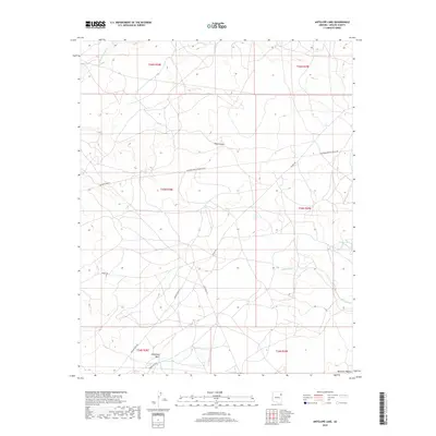
2018 Antelope Lake
Apache County, AZ
2018 Arrowhead Butte NE
Apache County, AZ
2018 Bad Bug Butte
Apache County, AZ
2018 Barth Well
Apache County, AZ
2018 Beacon Well
Apache County, AZ
2018 Beautiful Valley Well
Apache County, AZ
2018 Beeshsikad Spring
Apache County, AZ
2018 Betty Well
Apache County, AZ
2018 Big Lake North
Apache County, AZ
2018 Big Lake South
Apache County, AZ
2018 Big Willow Spring Canyon
Apache County, AZ
2018 Black Rock Butte
Apache County, AZ
2018 Blue Gap
Apache County, AZ
2018 Boggy Lake Well
Apache County, AZ
2018 Boiling Over Well
Apache County, AZ
2018 Bonito Rock
Apache County, AZ
2018 Boundary Butte
Apache County, AZ
2018 Buell Park
Apache County, AZ
2018 Buffalo Crossing
Apache County, AZ
2018 Burntwater Wash
Apache County, AZ
2018 Carrisito Spring
Apache County, AZ
2018 Ceadro Spring
Apache County, AZ
2018 Ceadro Spring SE
Apache County, AZ
2018 Cedar Lake Wash
Apache County, AZ
2018 Cerro Hueco
Apache County, AZ
2018 Chafin Well
Apache County, AZ
2018 Chambers
Apache County, AZ
2018 Chinde Mesa
Apache County, AZ
2018 Concho Lake
Apache County, AZ
2018 Corn Creek
Apache County, AZ
2018 Corn Creek Plateau
Apache County, AZ
2018 Cove
Apache County, AZ
2018 Cow Butte
Apache County, AZ
2018 Coyote Hills
Apache County, AZ
2018 Dancing Rocks
Apache County, AZ
2018 Deep Lake
Apache County, AZ
2018 Dipping Water Well
Apache County, AZ
2018 East of Kinlichee
Apache County, AZ
2018 Escudilla Mountain
Apache County, AZ
2018 Fairchild Well
Apache County, AZ
2018 Fire Dance Mesa
Apache County, AZ
2018 Ganado Mesa
Apache County, AZ
2018 Ganado Mesa SW
Apache County, AZ
2018 Garnet Ridge
Apache County, AZ
2018 Greens Peak
Apache County, AZ
2018 Hawley Lake East
Apache County, AZ
2018 Hawley Lake West
Apache County, AZ
2018 High Lonesome Well
Apache County, AZ
2018 Hogansaani Spring
Apache County, AZ
2018 Hogan Well
Apache County, AZ
2018 Horse Mesa
Apache County, AZ
2018 Horseshoe Cienega
Apache County, AZ
2018 Hunt
Apache County, AZ
2018 Hunters Point
Apache County, AZ
2018 Joe Woody Well
Apache County, AZ
2018 Kachina Point
Apache County, AZ
2018 Kearn Lake
Apache County, AZ
2018 Kinlichee
Apache County, AZ
2018 Kinusta Mesa
Apache County, AZ
2018 Klagetoh North
Apache County, AZ
2018 Klagetoh South
Apache County, AZ
2018 Little Milky Wash
Apache County, AZ
2018 Little Round Rock
Apache County, AZ
2018 Loco Knoll
Apache County, AZ
2018 Lohali Point
Apache County, AZ
2018 Long H Ranch
Apache County, AZ
2018 Lower Wheatfields
Apache County, AZ
2018 Luna Lake
Apache County, AZ
2018 Lyman Lake
Apache County, AZ
2018 Lyman Lake SW
Apache County, AZ
2018 Manuel Seep
Apache County, AZ
2018 Many Farms NE
Apache County, AZ
2018 Many Farms SW
Apache County, AZ
2018 Marshall Butte
Apache County, AZ
2018 Maverick
Apache County, AZ
2018 Maverick SW
Apache County, AZ
2018 Mesa Parada
Apache County, AZ
2018 Mesa Parada NW
Apache County, AZ
2018 Mesa Redonda
Apache County, AZ
2018 Mexican Cry Mesa
Apache County, AZ
2018 Mexican Water
Apache County, AZ
2018 Mexican Water SW
Apache County, AZ
2018 Milky Ranch
Apache County, AZ
2018 Mount Baldy
Apache County, AZ
2018 Mud Spring
Apache County, AZ
2018 Navajo North
Apache County, AZ
2018 Navajo South
Apache County, AZ
2018 Navajo Springs
Apache County, AZ
2018 Nelson Reservoir
Apache County, AZ
2018 Nelson Reservoir NE
Apache County, AZ

2018 Ninemile Seep
Apache County, AZ
2018 North Mill Well
Apache County, AZ
2018 Oak Creek Mountain
Apache County, AZ
2018 Odart Mountain
Apache County, AZ
2018 Ortega Mountain
Apache County, AZ
2018 Pastora Peak
Apache County, AZ
2018 Pine Springs
Apache County, AZ
2018 Piney Hill
Apache County, AZ
2018 Pinta
Apache County, AZ
2018 Potter Mesa Tank
Apache County, AZ
2018 Prospect Spring
Apache County, AZ
2018 Red Clay Wash
Apache County, AZ
2018 Red Cornfield Mesa
Apache County, AZ
2018 Red Point
Apache County, AZ
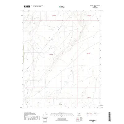
2018 Red Point Mesa
Apache County, AZ
2018 Red Valley
Apache County, AZ
2018 Rock Point SW
Apache County, AZ
2018 Roof Butte
Apache County, AZ
2018 Rooster Rock
Apache County, AZ
2018 Rough Rock NW
Apache County, AZ
2018 Rudd Knoll
Apache County, AZ
2018 Saint Johns North
Apache County, AZ
2018 Saint Johns South
Apache County, AZ
2018 Salado
Apache County, AZ
2018 Salina
Apache County, AZ
2018 Schnebly Well
Apache County, AZ
2018 Seven Springs
Apache County, AZ
2018 Sonsela Buttes
Apache County, AZ
2018 Sorrel Horse Mesa
Apache County, AZ
2018 Spider Rock
Apache County, AZ
2018 Sponseller Mountain
Apache County, AZ
2018 Springerville NW
Apache County, AZ
2018 Steamboat Canyon
Apache County, AZ
2018 Steamboat Rock
Apache County, AZ
2018 Steamboat Rock NE
Apache County, AZ
2018 Stinking Springs
Apache County, AZ
2018 Stinking Springs Mountain
Apache County, AZ
2018 Sunrise Springs
Apache County, AZ
2018 Sweathouse Peak
Apache County, AZ
2018 Sweetwater Mesa
Apache County, AZ
2018 Tah Chee Wash
Apache County, AZ
2018 Tall Mesa
Apache County, AZ
2018 Tall Tree Mesa
Apache County, AZ
2018 Tanner Springs
Apache County, AZ
2018 The Rincon
Apache County, AZ
2018 Three Turkey Canyon
Apache County, AZ
2018 Toadindaaska Mesa
Apache County, AZ
2018 Toh Atin Mesa East
Apache County, AZ
2018 Toh Atin Mesa West
Apache County, AZ
2018 Toh Chin Lini Mesa
Apache County, AZ
2018 Toh De Niihe
Apache County, AZ
2018 Tolani
Apache County, AZ
2018 Tolapai Spring
Apache County, AZ
2018 Toyei School
Apache County, AZ
2018 Tsaile Butte
Apache County, AZ
2018 Tudecoz Spring
Apache County, AZ
2018 Upper Wheatfields
Apache County, AZ
2018 Uranium Spring
Apache County, AZ
2018 Valle Bonito
Apache County, AZ
2018 Valle Bonito NE
Apache County, AZ
2018 Ventana Mesa
Apache County, AZ
2018 Voigt Ranch
Apache County, AZ
2018 Walker Butte
Apache County, AZ
2018 Walker Creek Reservoir
Apache County, AZ
2018 West of Window Rock
Apache County, AZ
2018 West Poker Mountain
Apache County, AZ
2018 White Area Canyon
Apache County, AZ
2018 White Clay
Apache County, AZ
2018 White Point
Apache County, AZ

2018 White Rock Wash
Apache County, AZ
2018 Whiting Knoll
Apache County, AZ
2018 Wide Ruins SW
Apache County, AZ
2018 Wild Cow Lake
Apache County, AZ
2018 Windy Valley
Apache County, AZ
2018 Zion Reservoir
Apache County, AZ
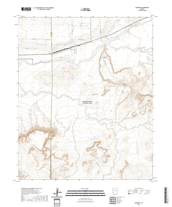
2021 Adamana
Apache County, AZ
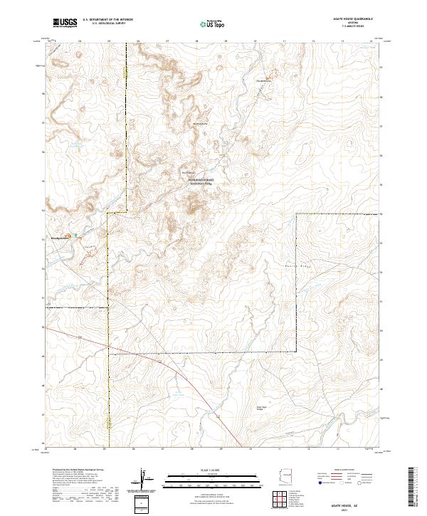
2021 Agate House
Apache County, AZ
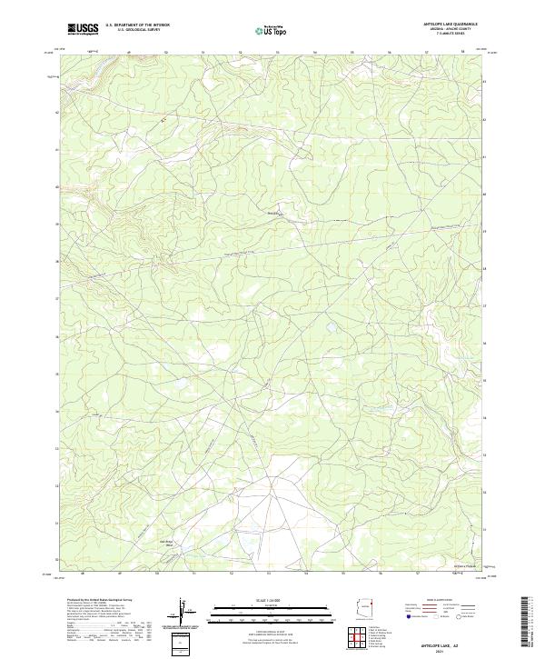
2021 Antelope Lake
Apache County, AZ
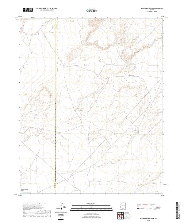
2021 Arrowhead Butte NE
Apache County, AZ
2021 Bad Bug Butte
Apache County, AZ
2021 Barth Well
Apache County, AZ
2021 Beacon Well
Apache County, AZ
2021 Beautiful Valley Well
Apache County, AZ
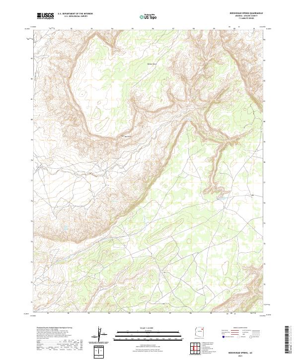
2021 Beeshsikad Spring
Apache County, AZ
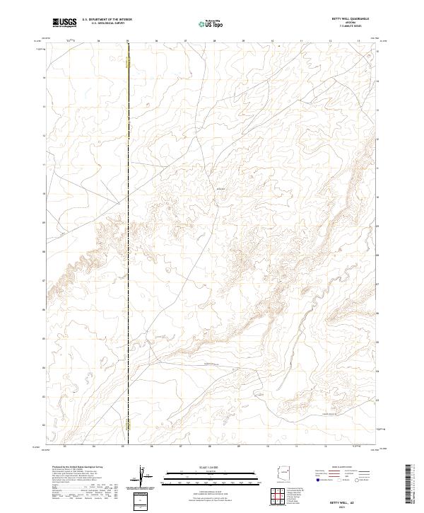
2021 Betty Well
Apache County, AZ
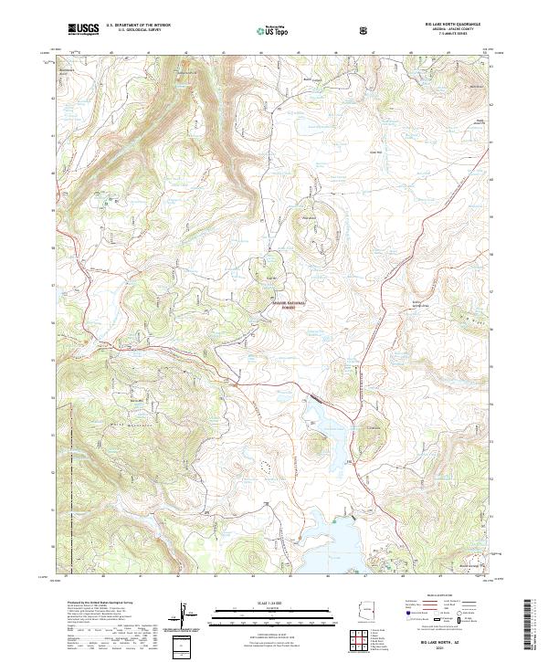
2021 Big Lake North
Apache County, AZ
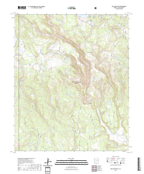
2021 Big Lake South
Apache County, AZ
2021 Big Willow Spring Canyon
Apache County, AZ
2021 Black Rock Butte
Apache County, AZ
2021 Blue Gap
Apache County, AZ
2021 Boggy Lake Well
Apache County, AZ
2021 Boiling Over Well
Apache County, AZ
2021 Bonito Rock
Apache County, AZ
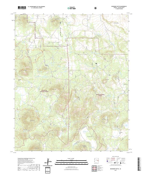
2021 Boundary Butte
Apache County, AZ
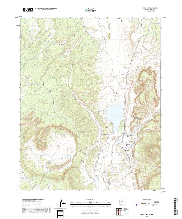
2021 Buell Park
Apache County, AZ
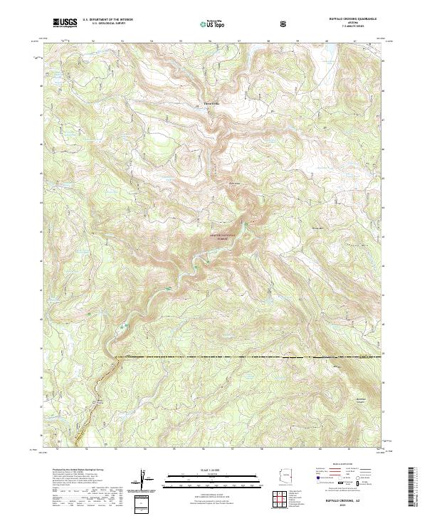
2021 Buffalo Crossing
Apache County, AZ
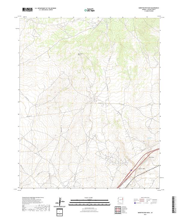
2021 Burntwater Wash
Apache County, AZ
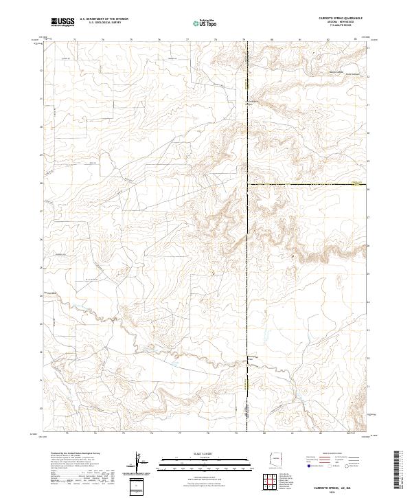
2021 Carrisito Spring
Apache County, AZ
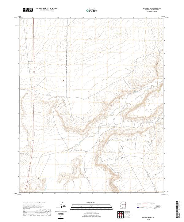
2021 Ceadro Spring
Apache County, AZ
2021 Ceadro Spring SE
Apache County, AZ
2021 Cedar Lake Wash
Apache County, AZ
2021 Cerro Hueco
Apache County, AZ
2021 Chafin Well
Apache County, AZ
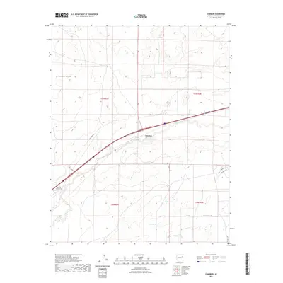
2021 Chambers
Apache County, AZ
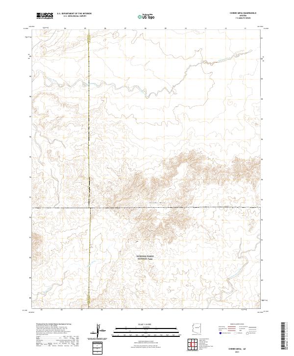
2021 Chinde Mesa
Apache County, AZ
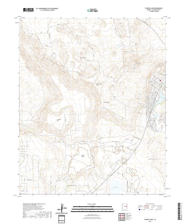
2021 Concho Lake
Apache County, AZ
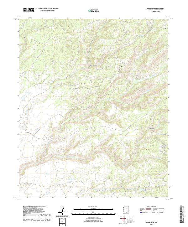
2021 Corn Creek
Apache County, AZ
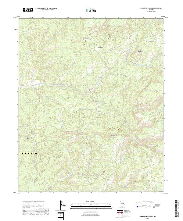
2021 Corn Creek Plateau
Apache County, AZ
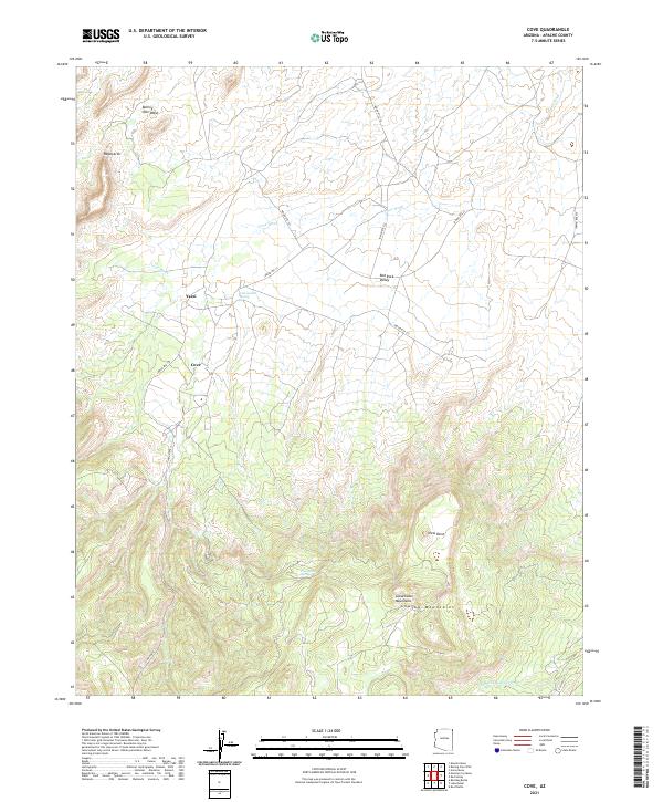
2021 Cove
Apache County, AZ
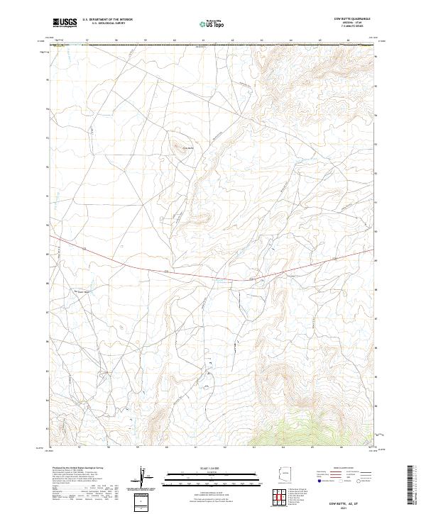
2021 Cow Butte
Apache County, AZ
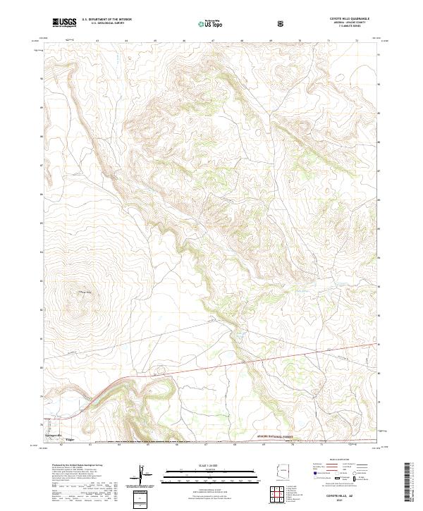
2021 Coyote Hills
Apache County, AZ
2021 Dancing Rocks
Apache County, AZ
2021 Deep Lake
Apache County, AZ
2021 Dipping Water Well
Apache County, AZ
2021 East of Kinlichee
Apache County, AZ
2021 Escudilla Mountain
Apache County, AZ
2021 Fairchild Well
Apache County, AZ
2021 Fire Dance Mesa
Apache County, AZ
2021 Ganado Mesa
Apache County, AZ
2021 Ganado Mesa SW
Apache County, AZ
2021 Garnet Ridge
Apache County, AZ
2021 Greens Peak
Apache County, AZ
2021 Hawley Lake East
Apache County, AZ
2021 Hawley Lake West
Apache County, AZ
2021 High Lonesome Well
Apache County, AZ
2021 Hogansaani Spring
Apache County, AZ
2021 Hogan Well
Apache County, AZ
2021 Horse Mesa
Apache County, AZ
2021 Horseshoe Cienega
Apache County, AZ
2021 Hunt
Apache County, AZ
2021 Hunters Point
Apache County, AZ
2021 Joe Woody Well
Apache County, AZ
2021 Kachina Point
Apache County, AZ
2021 Kearn Lake
Apache County, AZ
2021 Kinlichee
Apache County, AZ
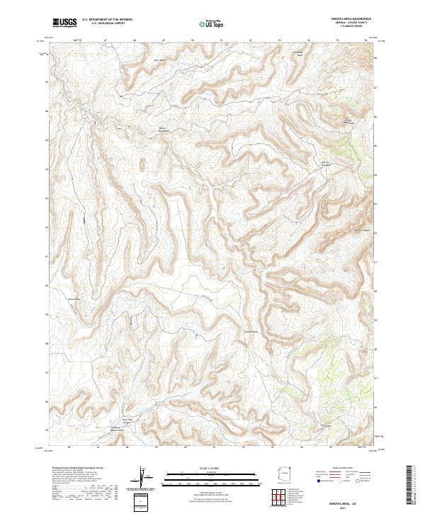
2021 Kinusta Mesa
Apache County, AZ
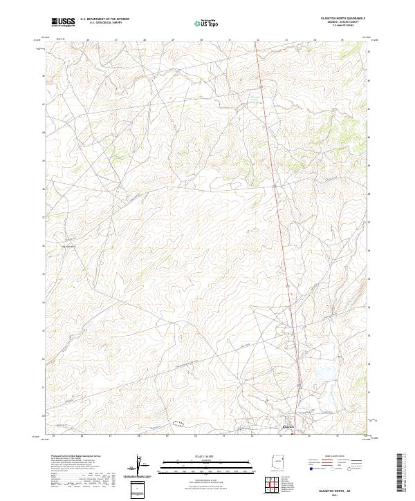
2021 Klagetoh North
Apache County, AZ
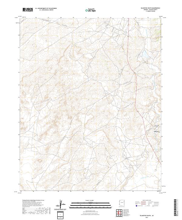
2021 Klagetoh South
Apache County, AZ
2021 Little Milky Wash
Apache County, AZ
2021 Little Round Rock
Apache County, AZ
2021 Loco Knoll
Apache County, AZ
2021 Lohali Point
Apache County, AZ
2021 Long H Ranch
Apache County, AZ
2021 Lower Wheatfields
Apache County, AZ
2021 Luna Lake
Apache County, AZ
2021 Lyman Lake
Apache County, AZ
2021 Lyman Lake SW
Apache County, AZ
2021 Manuel Seep
Apache County, AZ
2021 Many Farms NE
Apache County, AZ
2021 Many Farms SW
Apache County, AZ
2021 Marshall Butte
Apache County, AZ
2021 Maverick
Apache County, AZ
2021 Maverick SW
Apache County, AZ
2021 Mesa Parada
Apache County, AZ
2021 Mesa Parada NW
Apache County, AZ
2021 Mesa Redonda
Apache County, AZ
2021 Mexican Cry Mesa
Apache County, AZ
2021 Mexican Water
Apache County, AZ
2021 Mexican Water SW
Apache County, AZ
2021 Milky Ranch
Apache County, AZ
2021 Mount Baldy
Apache County, AZ
2021 Mud Spring
Apache County, AZ
2021 Navajo North
Apache County, AZ
2021 Navajo South
Apache County, AZ
2021 Navajo Springs
Apache County, AZ
2021 Nelson Reservoir
Apache County, AZ
2021 Nelson Reservoir NE
Apache County, AZ
2021 Ninemile Seep
Apache County, AZ
2021 North Mill Well
Apache County, AZ
2021 Oak Creek Mountain
Apache County, AZ
2021 Odart Mountain
Apache County, AZ
2021 Ortega Mountain
Apache County, AZ
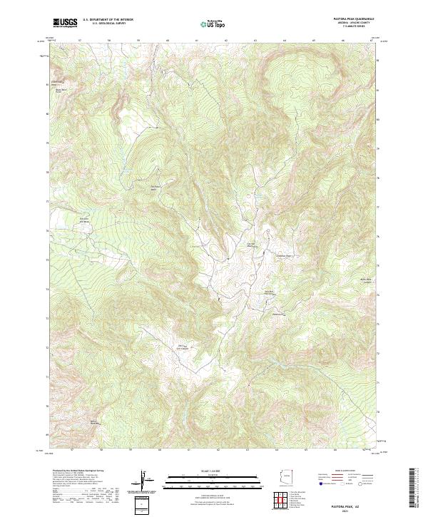
2021 Pastora Peak
Apache County, AZ
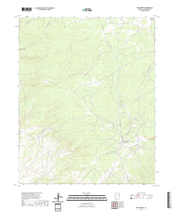
2021 Pine Springs
Apache County, AZ
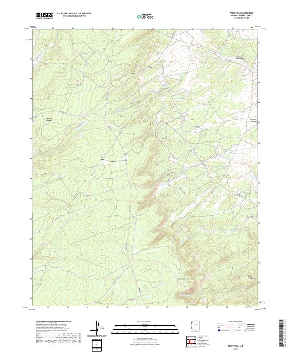
2021 Piney Hill
Apache County, AZ
2021 Pinta
Apache County, AZ
2021 Potter Mesa Tank
Apache County, AZ
2021 Prospect Spring
Apache County, AZ
2021 Red Clay Wash
Apache County, AZ
2021 Red Cornfield Mesa
Apache County, AZ
2021 Red Point
Apache County, AZ
2021 Red Point Mesa
Apache County, AZ
2021 Red Valley
Apache County, AZ
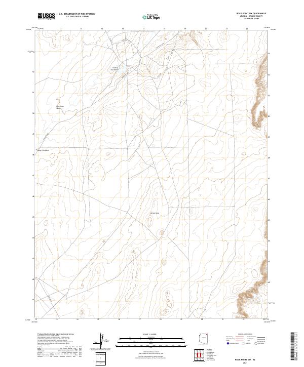
2021 Rock Point SW
Apache County, AZ
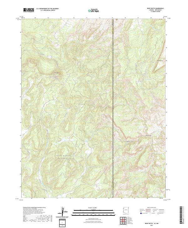
2021 Roof Butte
Apache County, AZ
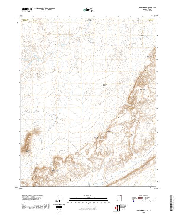
2021 Rooster Rock
Apache County, AZ
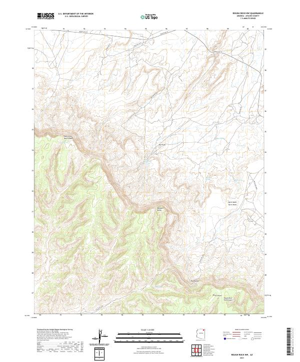
2021 Rough Rock NW
Apache County, AZ
2021 Rudd Knoll
Apache County, AZ
2021 Saint Johns North
Apache County, AZ
2021 Saint Johns South
Apache County, AZ
2021 Salado
Apache County, AZ
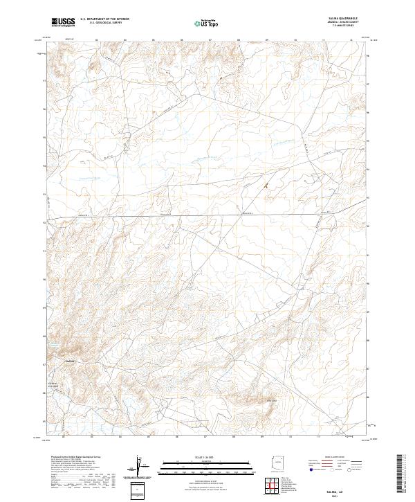
2021 Salina
Apache County, AZ
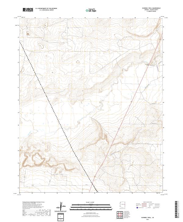
2021 Schnebly Well
Apache County, AZ
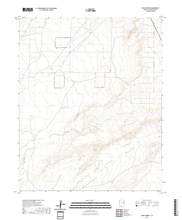
2021 Seven Springs
Apache County, AZ
2021 Sonsela Buttes
Apache County, AZ
2021 Sorrel Horse Mesa
Apache County, AZ
2021 Spider Rock
Apache County, AZ
2021 Sponseller Mountain
Apache County, AZ
2021 Springerville NW
Apache County, AZ
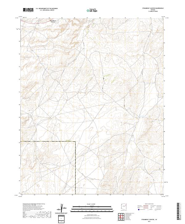
2021 Steamboat Canyon
Apache County, AZ
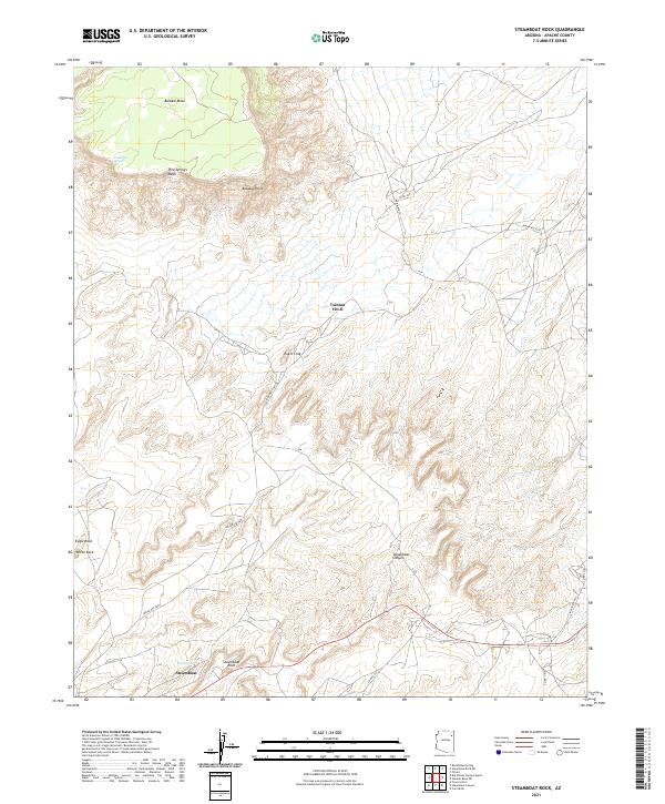
2021 Steamboat Rock
Apache County, AZ
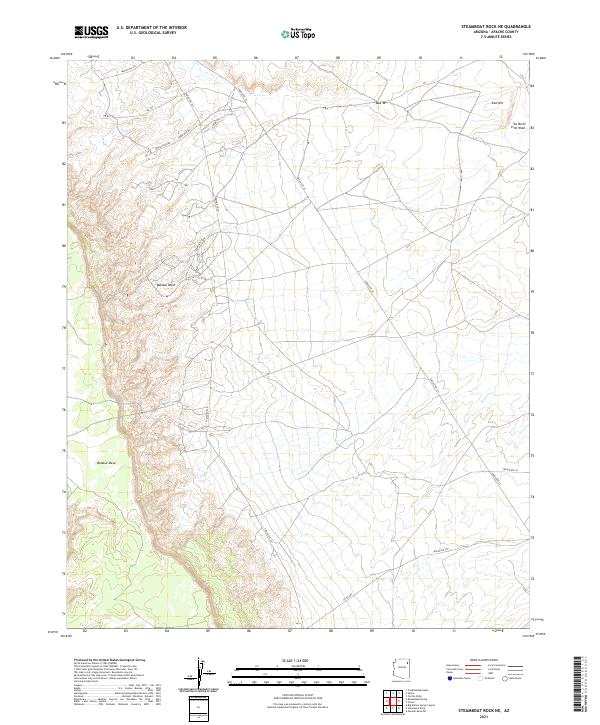
2021 Steamboat Rock NE
Apache County, AZ
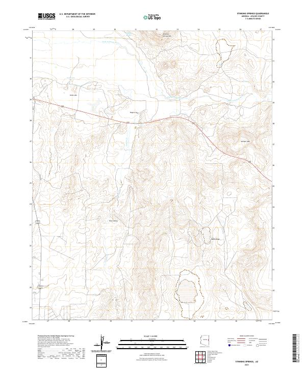
2021 Stinking Springs
Apache County, AZ
2021 Stinking Springs Mountain
Apache County, AZ
2021 Sunrise Springs
Apache County, AZ
2021 Sweathouse Peak
Apache County, AZ
2021 Sweetwater Mesa
Apache County, AZ
2021 Tah Chee Wash
Apache County, AZ
2021 Tall Mesa
Apache County, AZ
2021 Tall Tree Mesa
Apache County, AZ
2021 Tanner Springs
Apache County, AZ
2021 The Rincon
Apache County, AZ
2021 Three Turkey Canyon
Apache County, AZ
2021 Toadindaaska Mesa
Apache County, AZ
2021 Toh Atin Mesa East
Apache County, AZ
2021 Toh Atin Mesa West
Apache County, AZ
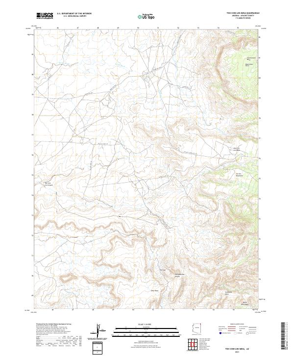
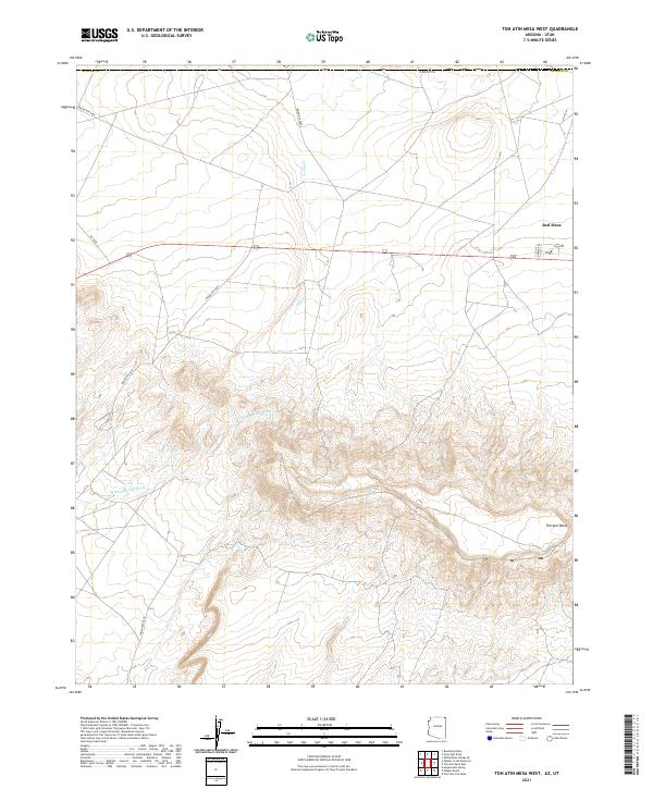
2021 Toh Chin Lini Mesa
Apache County, AZ
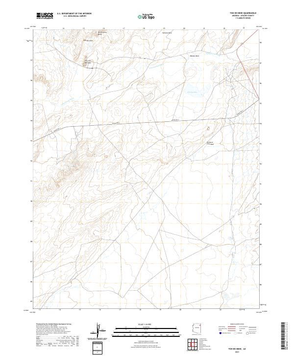
2021 Toh De Niihe
Apache County, AZ
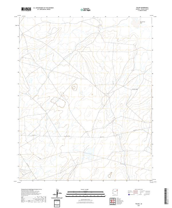
2021 Tolani
Apache County, AZ
2021 Tolapai Spring
Apache County, AZ
2021 Toyei School
Apache County, AZ
2021 Tsaile Butte
Apache County, AZ
2021 Tudecoz Spring
Apache County, AZ
2021 Upper Wheatfields
Apache County, AZ
2021 Uranium Spring
Apache County, AZ
2021 Valle Bonito
Apache County, AZ
2021 Valle Bonito NE
Apache County, AZ
2021 Ventana Mesa
Apache County, AZ
2021 Voigt Ranch
Apache County, AZ
2021 Walker Butte
Apache County, AZ
2021 Walker Creek Reservoir
Apache County, AZ
2021 West of Window Rock
Apache County, AZ
2021 West Poker Mountain
Apache County, AZ
2021 White Area Canyon
Apache County, AZ
2021 White Clay
Apache County, AZ
2021 White Point
Apache County, AZ
2021 White Rock Wash
Apache County, AZ
2021 Whiting Knoll
Apache County, AZ
2021 Wide Ruins SW
Apache County, AZ
2021 Wild Cow Lake
Apache County, AZ
2021 Windy Valley
Apache County, AZ
2021 Zion Reservoir
Apache County, AZ
2023 Bonito Rock
Apache County, AZ
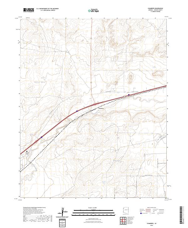
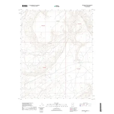
2023 Chambers
Apache County, AZ
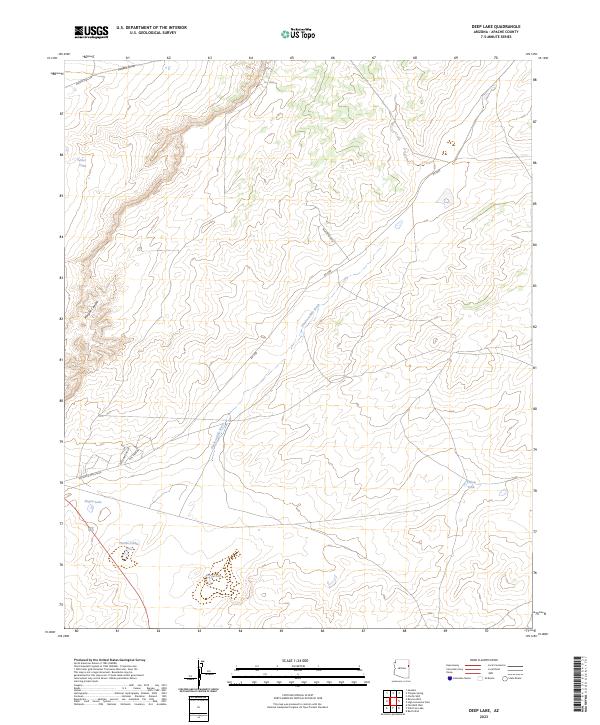
2023 Deep Lake
Apache County, AZ
2023 Little Milky Wash
Apache County, AZ
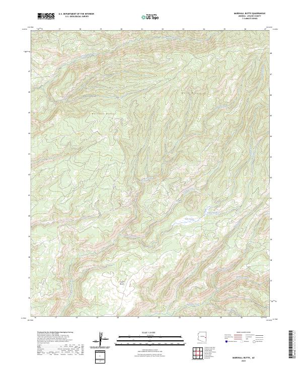
2023 Marshall Butte
Apache County, AZ
2023 Mount Baldy
Apache County, AZ
2026 Big Lake South
Apache County, AZ
2026 Bonito Rock
Apache County, AZ
2026 East of Kinlichee
Apache County, AZ
2026 Klagetoh North
Apache County, AZ
2026 Piney Hill
Apache County, AZ
2026 Tudecoz Spring
Apache County, AZ