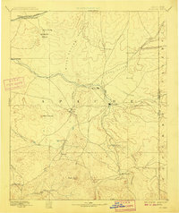
1892 Map of St Johns
USGS Topo · Published 1909About this map
The St Johns settlement sits at a central convergence of the Little Colorado River and high-desert drainage systems in this late nineteenth-century reconnaissance. The landscape is defined by the transition from the volcanic heights of Green Peak and the White Mountains in the south to the arid plateau of the Petrified Forest in the northwest. In the years following the 1886 survey, the region supported a network of small agricultural and ranching outposts like Concho, Erastus, and Walnut Grove. To the north, the Atlantic and Pacific Railroad follows the Puerco River corridor, providing a critical industrial link for Apache County. Early infrastructure is noted by features such as Mexican Crossing and Windmill Ranch, reflecting the era's reliance on established water sources and cattle-driving routes.
Find a feature on this map
35 named features on this map. Tap any name to fly to it.
Don’t see what you’re looking for? This feature index may not catch every label — zoom into the map to look around manually.
Map Details
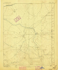
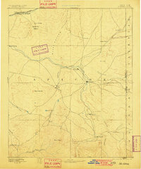
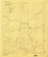
Editions of this 1892 St Johns Map
5 editions found
Other maps of this area

1883 · Tusayan
USGS Topo · 1:250,000

1886 · St Johns
USGS Topo · 1:250,000

1886 · Wingate
USGS Topo · 1:250,000

1886 · Tusayan
USGS Topo · 1:250,000

1886 · Fort Defiance
USGS Topo · 1:250,000

1886 · Holbrook
USGS Topo · 1:250,000

1892 · Fort Defiance
USGS Topo · 1:250,000

1892 · St Johns
USGS Topo · 1:250,000

1892 · Wingate
USGS Topo · 1:250,000

1893 · Holbrook
USGS Topo · 1:250,000