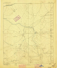
1892 Map of St Johns
USGS Topo · Published 1897About this map
The high desert plateau of eastern Arizona is centered on St Johns in this late nineteenth-century survey, which documents the critical relationship between sparse water sources and early settlement. The Little Colorado River and its tributaries, including the Zuni River and Puerco River, dictate the placement of ranching outposts and small villages like Springerville and Concho.
Find a feature on this map
37 named features on this map. Tap any name to fly to it.
Don’t see what you’re looking for? This feature index may not catch every label — zoom into the map to look around manually.
Map Details
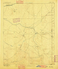
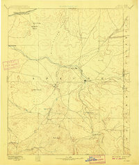
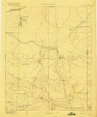
Editions of this 1892 St Johns Map
5 editions found
Other maps of this area

1883 · Tusayan
USGS Topo · 1:250,000

1886 · St Johns
USGS Topo · 1:250,000

1886 · Wingate
USGS Topo · 1:250,000

1886 · Tusayan
USGS Topo · 1:250,000

1886 · Fort Defiance
USGS Topo · 1:250,000

1886 · Holbrook
USGS Topo · 1:250,000

1892 · Fort Defiance
USGS Topo · 1:250,000

1892 · St Johns
USGS Topo · 1:250,000

1892 · Wingate
USGS Topo · 1:250,000

1893 · Holbrook
USGS Topo · 1:250,000